
From the Nova Scotia Hiking Trail Guide
- Guide category: Loop Trails
- Length: 7.7 km (return)
- Difficulty: 3C
- Duration: 3 hours
- Book trailhead: N45 32.334 W63 06.822
 Parking
 Stay on trail
This trail is part of Gully Lake Wilderness Area.
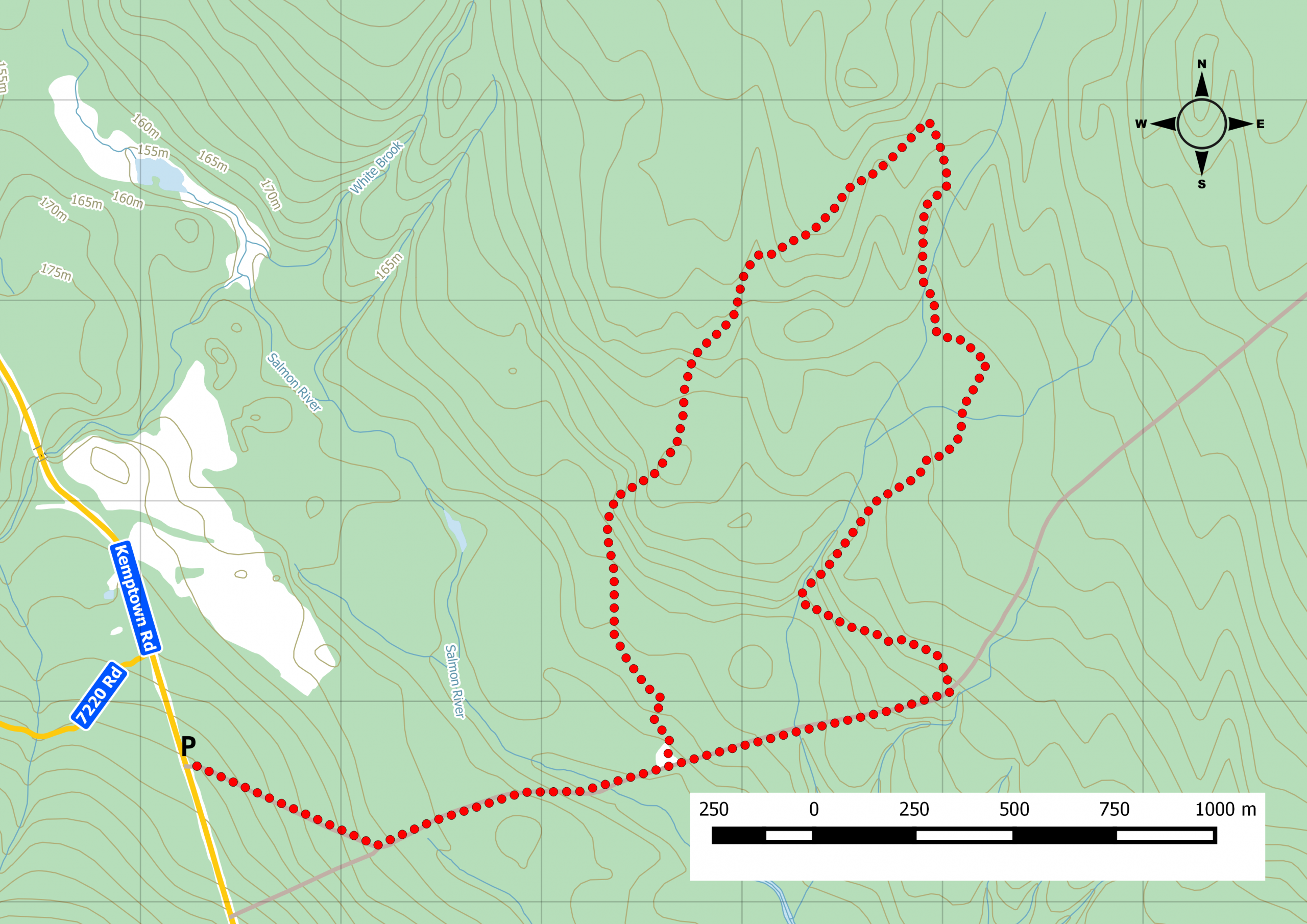
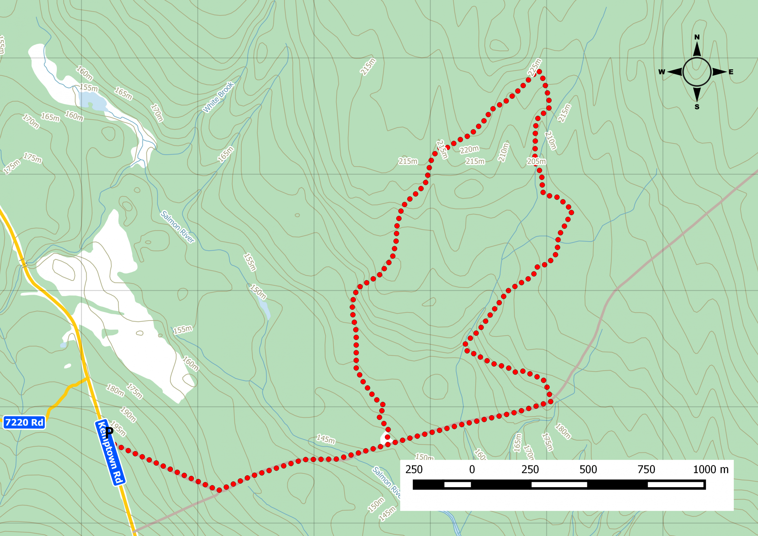
Nestled within the mountains of the hardwood forest and sugar maple trees, is the 3,810 hectares wilderness area once the refuge of the famed hermit of Gully Lake. Walking along the shared ATV trail, you can start the loop via multiple point as indicated by the trail map you’ll encounter. Our excursion started by going up to the Willard Kitchener MacDonald trail junction where the trail becomes a footpath. Once you reach the top of the Sandy Cope loop, you can follow an old road straight down or continue along the official loop. Watch this trail on YouTube. The trails within this area are maintained by the Cobequid Eco-Trails Society .
Trip Summary
Trip Stats
Elevation Profile
Terrain & Pace Summary
Good rolling terrain with 219 m of gain over 7.7 km (28 m/km). Rewarding underfoot without being punishing.
Easy 2.8 km/h pace — plenty of time to take in the surroundings.
Trails Near This Route
Nearby Trails
Trail Access & Pass Information
- Check your provincial / state OHV registration requirements before riding.
- Verify gate and seasonal-closure status with a local ATV club or land manager.
- Some trail networks require a separate trail pass — confirm with the local OHV association.
Trail Photos
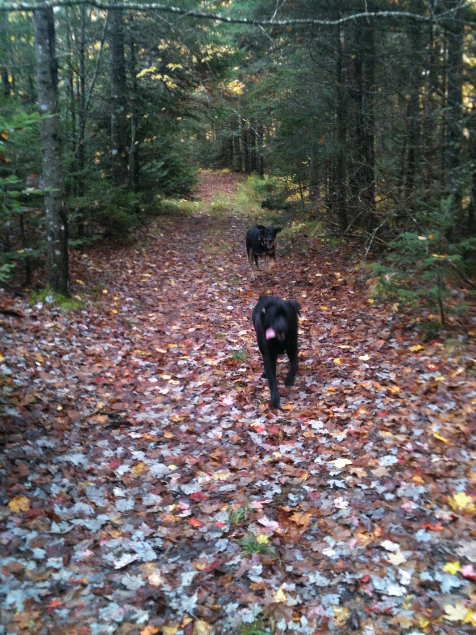
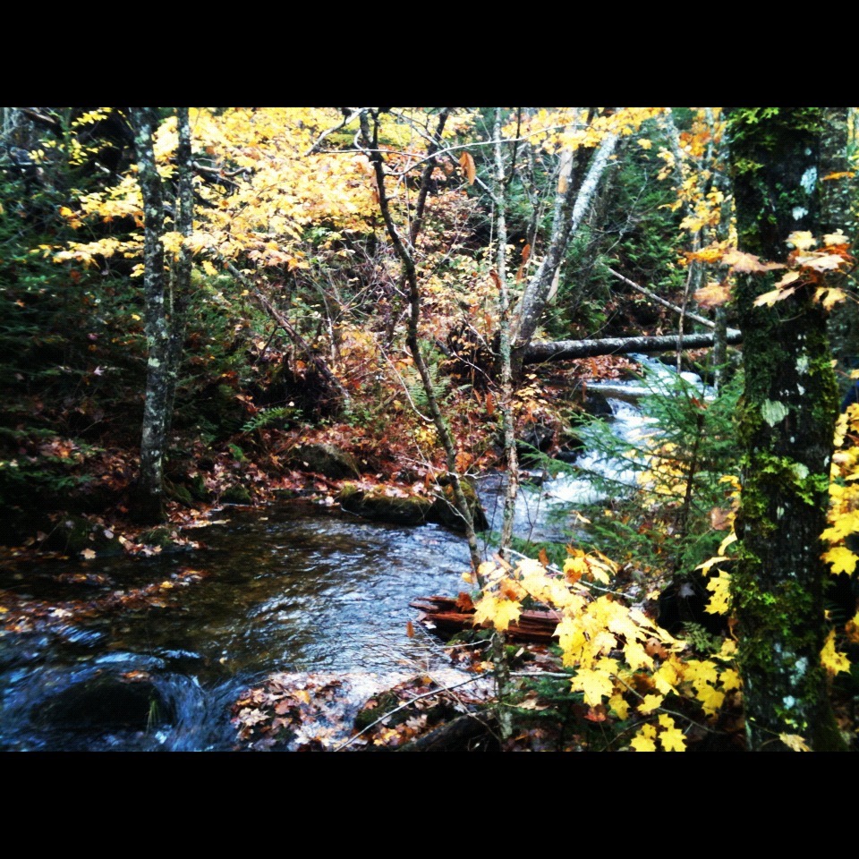
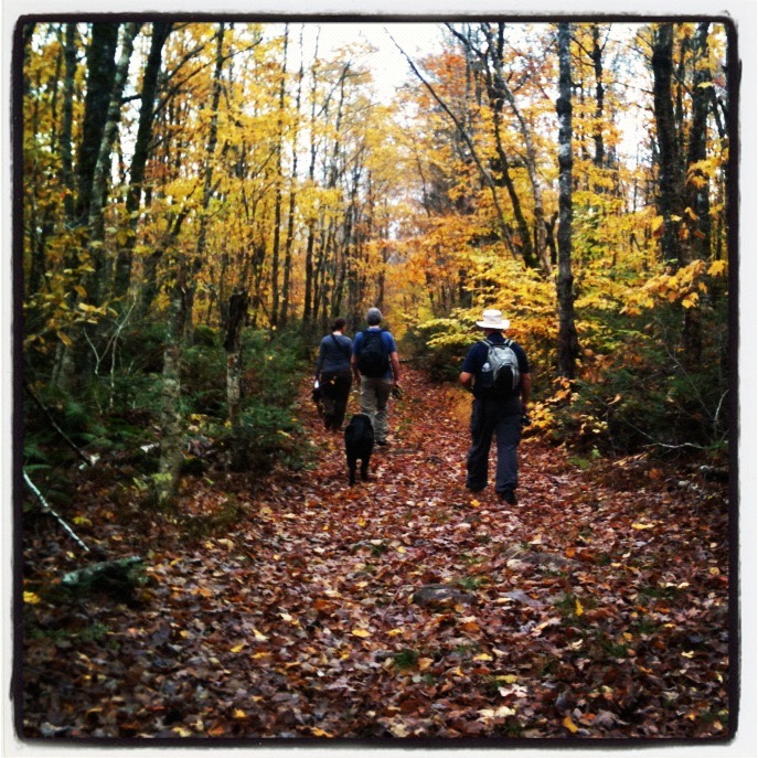
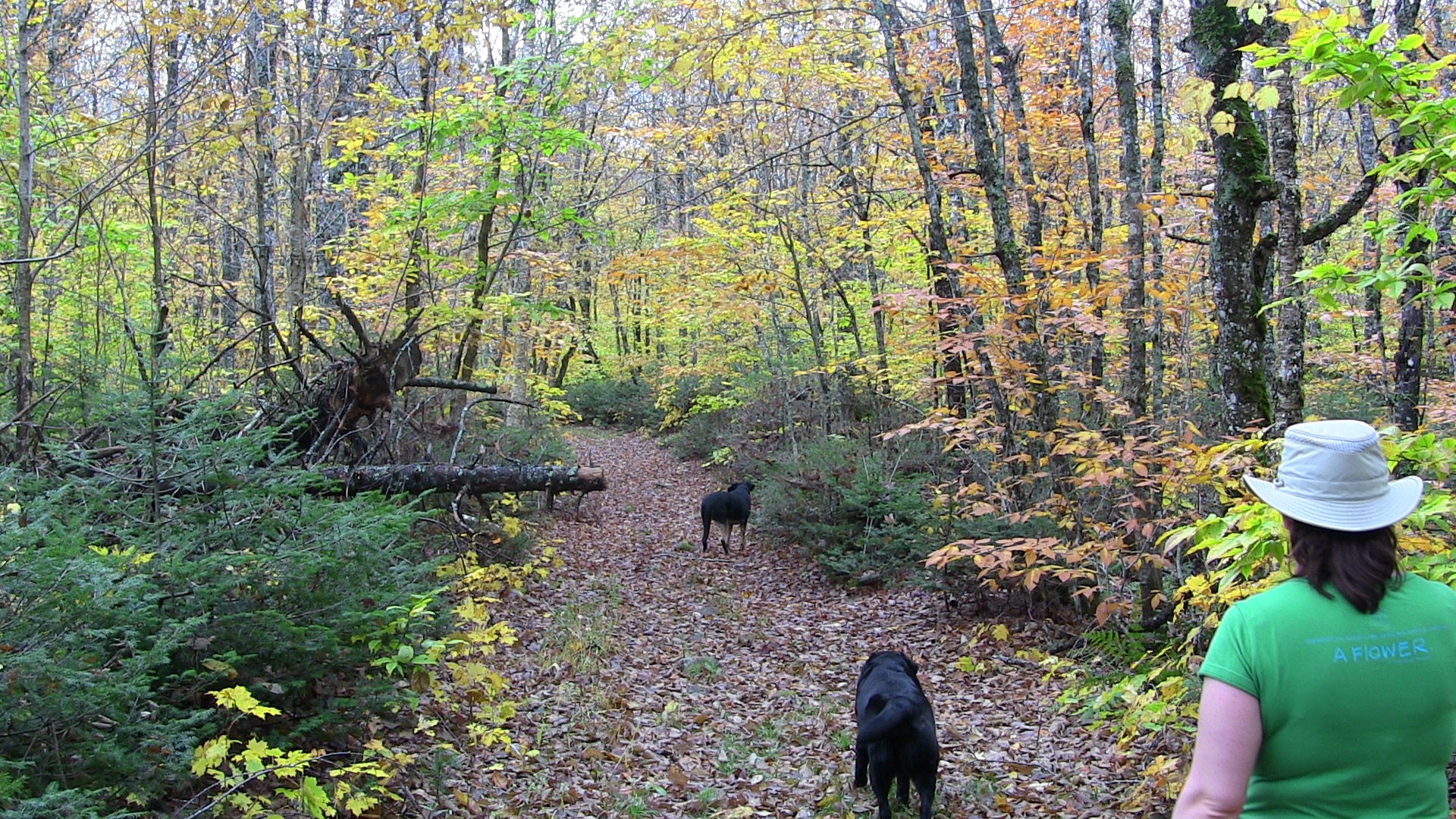
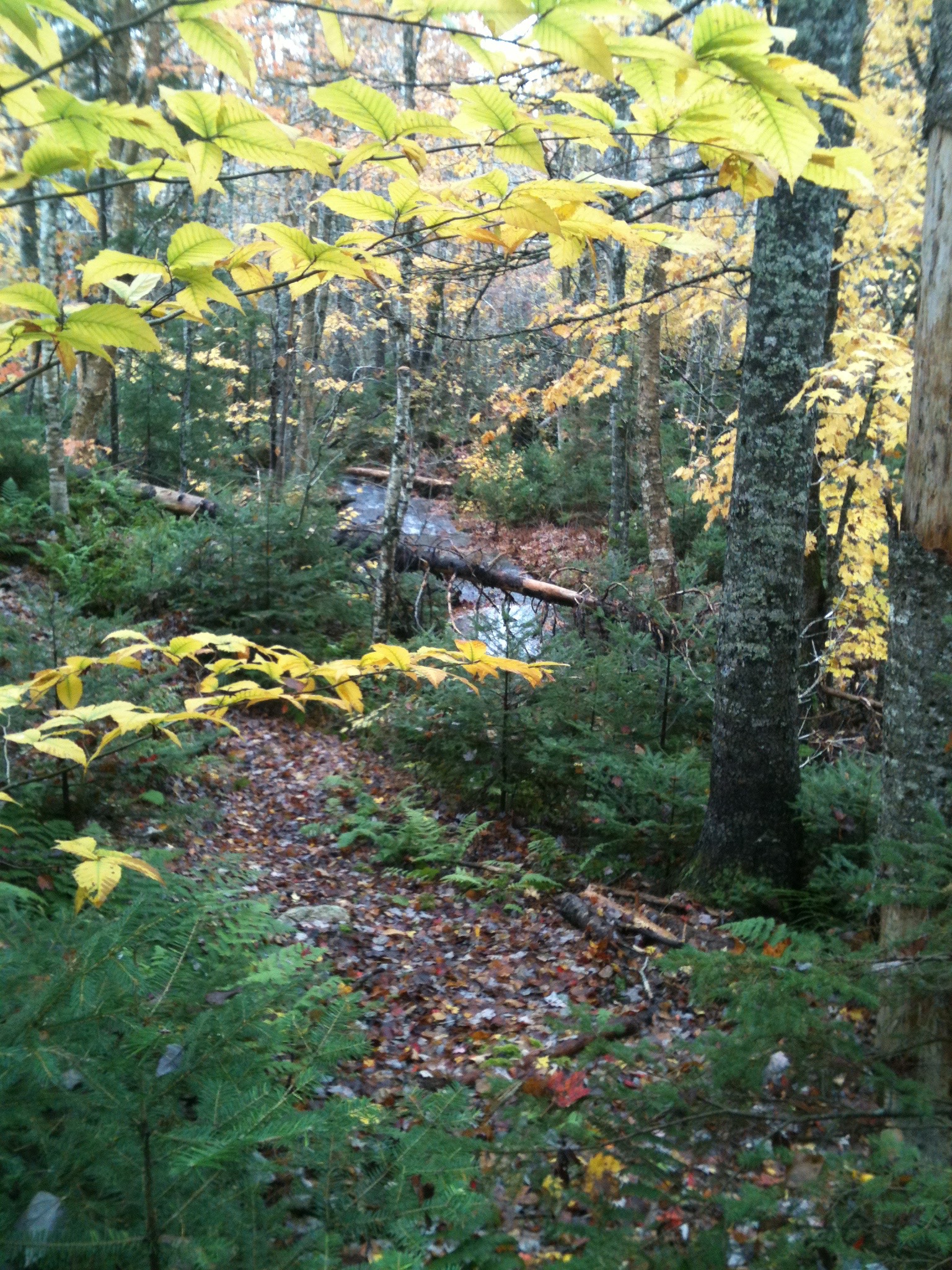
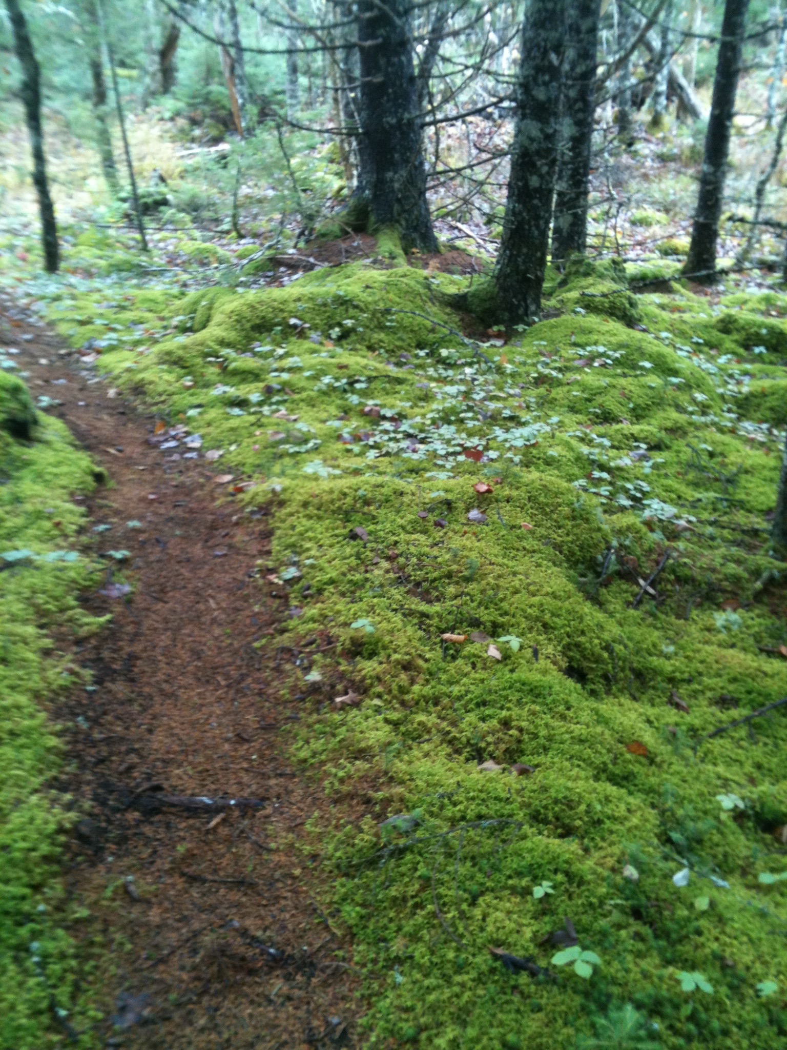
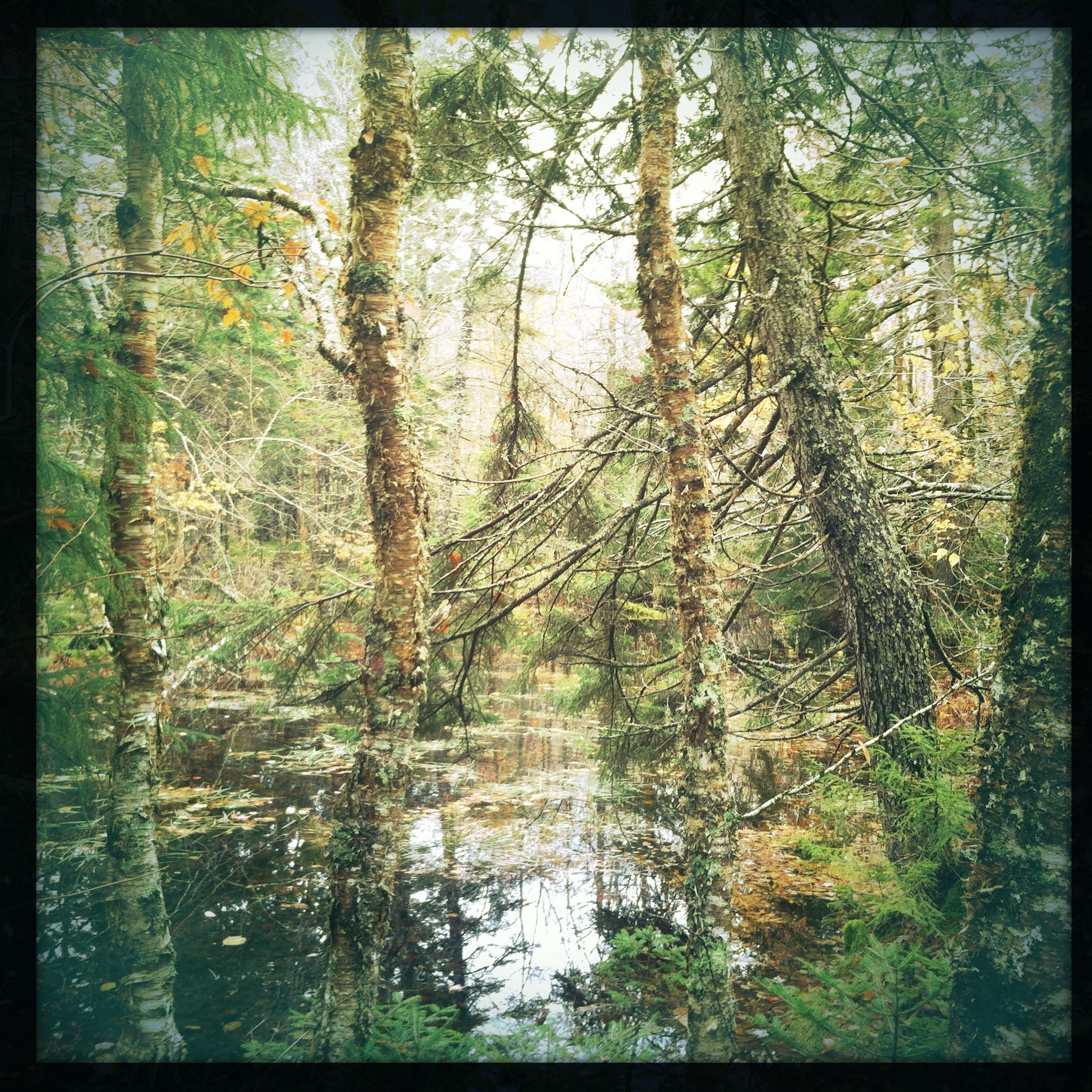
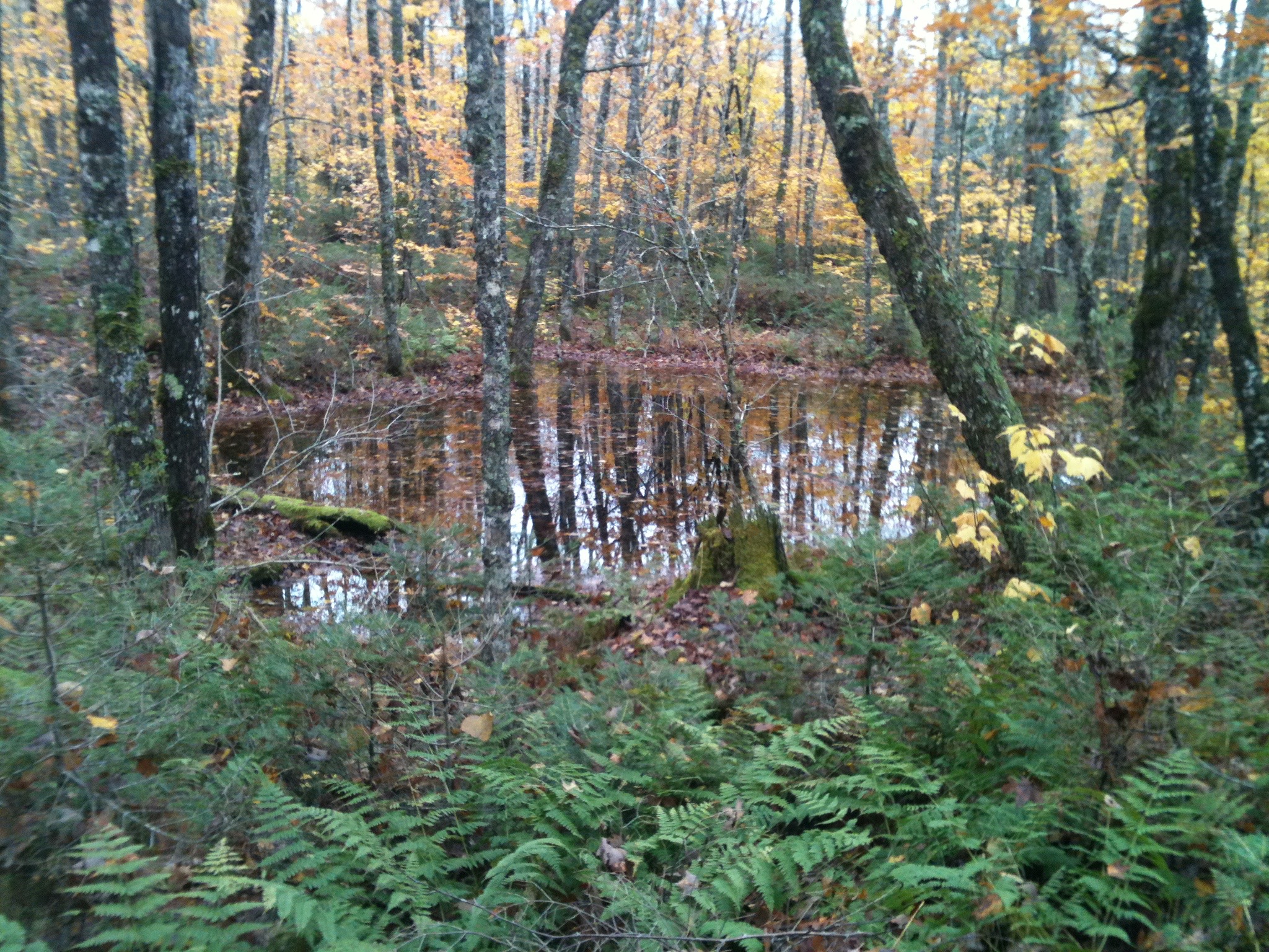
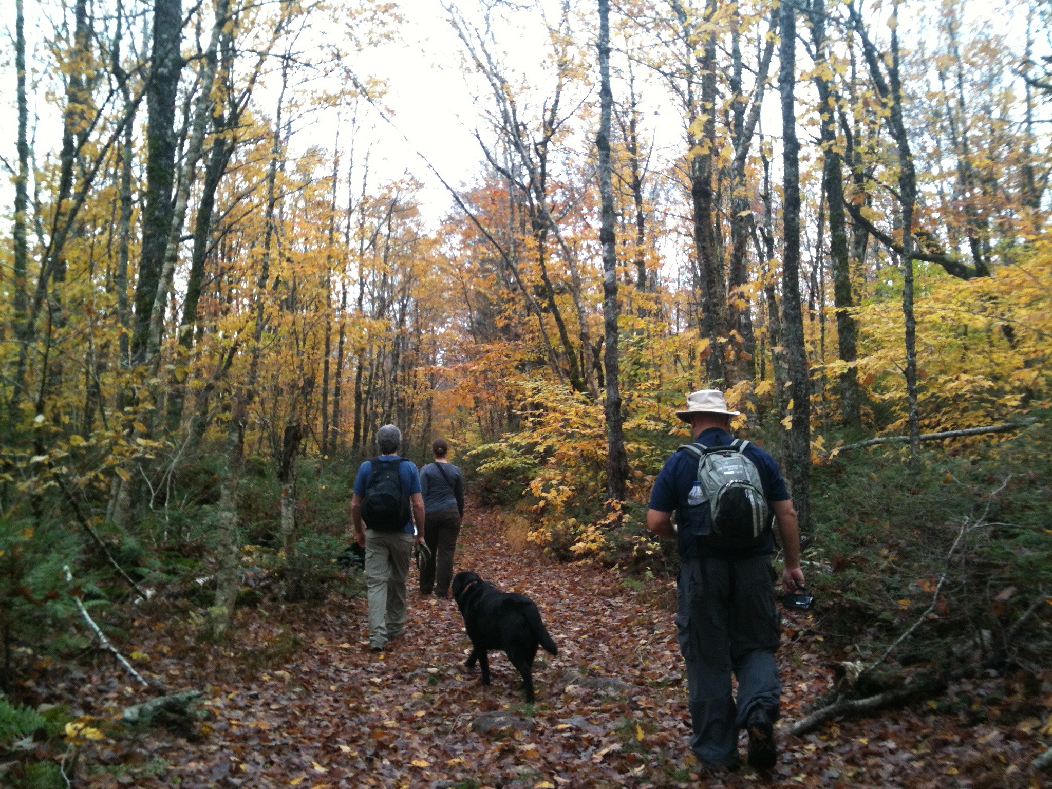
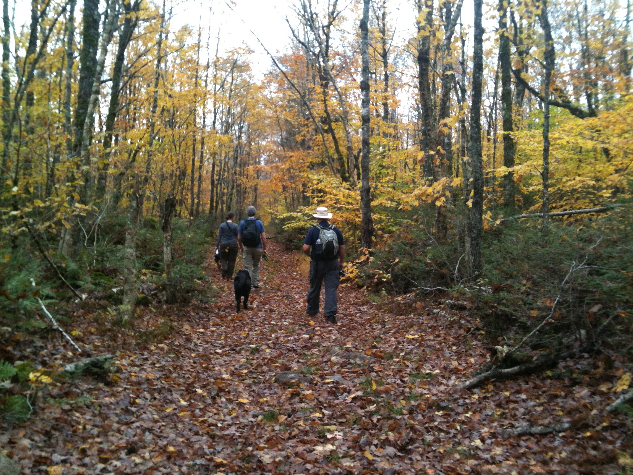
In this video, we trek out late October to the Gully Lake Wilderness Area. This is almost 4000 hectares of hardwoods and mixed forests. We decided to bring the dogs and do one of the shorter hiking loops: Sandy Cope Trail.
Our main goal was to hike for about two hours and drive 5km to nearby Sugar Moon Farms to enjoy some pancakes and maple syrup.
We started out on the main dirt road. The area had many loggin roads and railroad passing through it. With most of the activity now gone, the roads remain and are part of an extensive network of trails for both hikers and All Terrain Vehicles.
As a protected area in Nova Scotia, a number of low impact activities are allowed including: camping, hiking, kayaking, birdwatching, trapping, hunting, etc…
Along the main road, we ran into the intersection to jump on the Willard Kitchener MacDonald trail – otherwise known as the “Hermit of Gully Lake”. But that trail & story will have to wait for another time. We hung a left and got on the Sandy Cope Loop Trail.
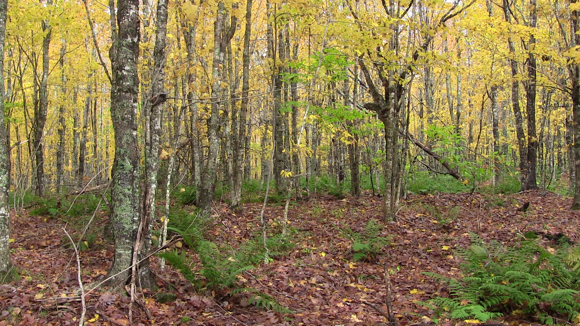
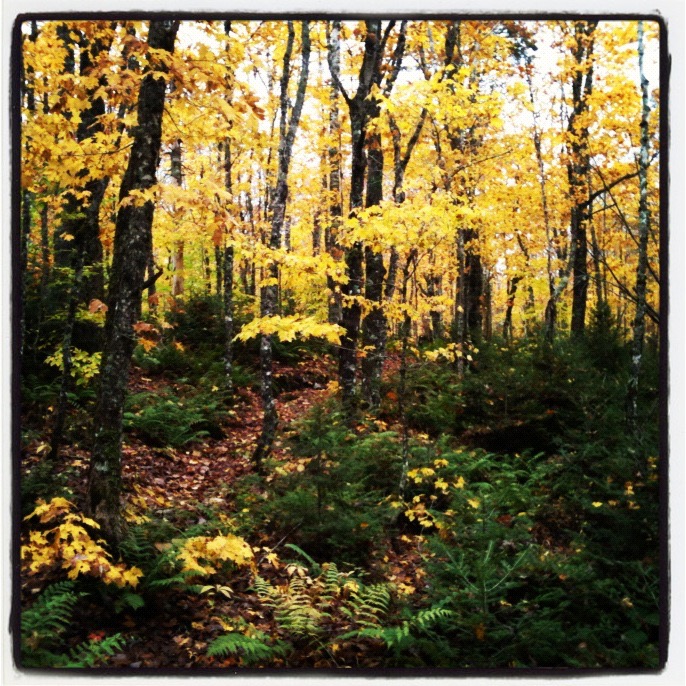
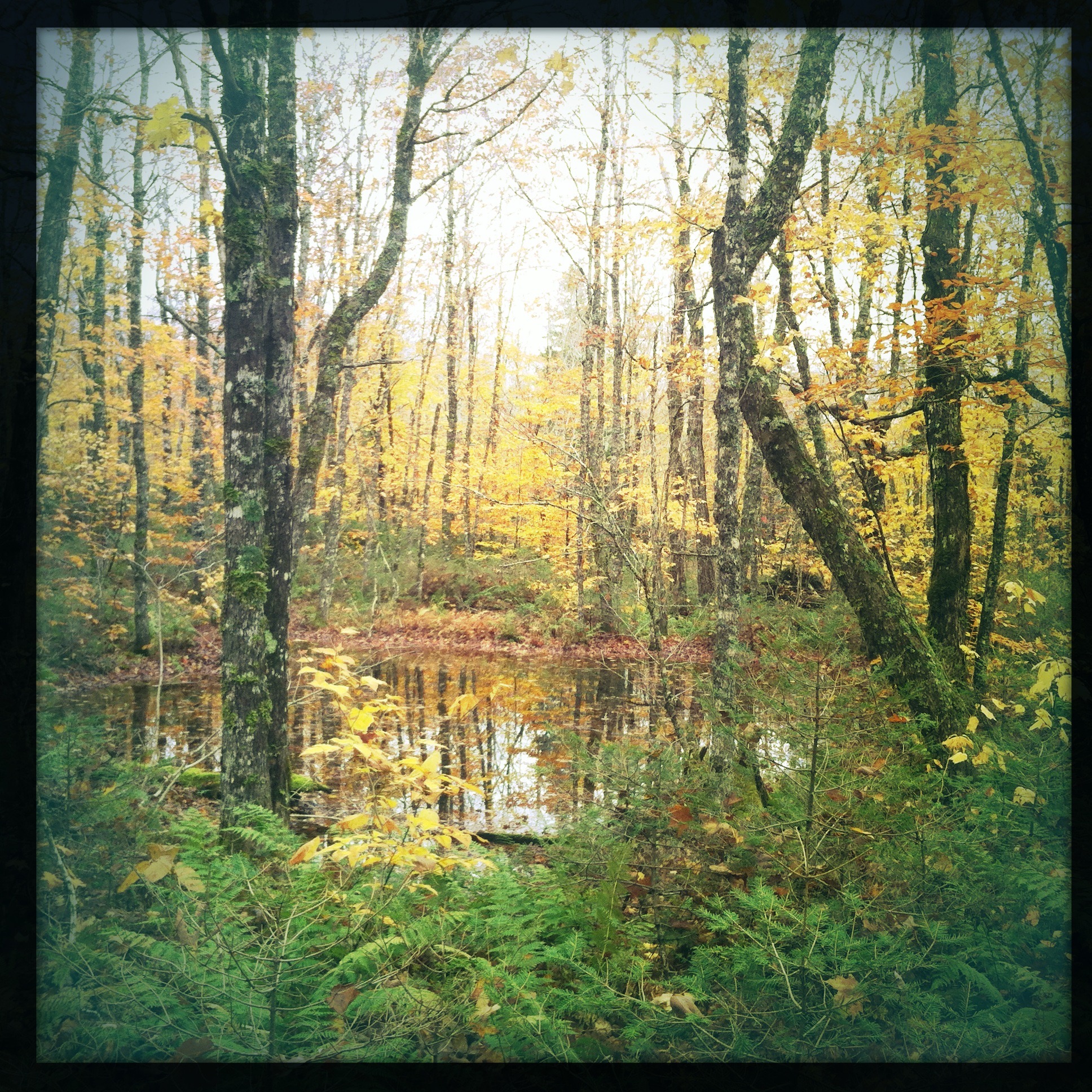
We picked the right time of year to hike, the mature sugar maple trees and birch provided an awesome fall foliage pallette. We hiked counter clock wise along the rolling hills. THe trail itself was more of a footpath.
We approached one of the old cart roads and from the map offered a shorter & quicker way back. We decided to take it since we enjoyed the views so much that we were getting hungry and needed some food!
At Sugar Moon Farms we enjoyed the sugar moon special with the bottomless coffee. Overall the shortened trail took up 2two hours and totalled around 6km.
This area deserves more visits, once the main hunting season is over, we plan to return.
 Take a look at the track file as provided by my Delorme InReach (search for October 21 2012)
https://explore.delorme.com/share/JimCyr#
Take a look at the Garmin Adventure which includes photos and more!
http://adventures.garmin.com/by/thecyr/gully-lake-wilderness-sandy-copy-loop/
More websites
http://www.cobequidecotrails.ca/trails/
http://www.cobequidecotrails.ca/trails/trail_details.asp?trailID=7
http://www.gov.ns.ca/nse/protectedareas/wa_gullylake.asp
http://en.wikipedia.org/wiki/Willard_Kitchener_MacDonald
http://www.sugarmoon.ca/