
From the Nova Scotia Hiking Trail Guide
- Guide category: Off To The Beach
- Length: 6.8 km (return)
- Difficulty: 2C
- Duration: 2 hours
- Book trailhead: N44 15.935 W64 16.382
 Litter Receptacle
 Pets on leash / Dog friendly
 Stay on trail
 Trailhead
 Parking
 Swimming
Out of the way beach with a rugged coastal hike.
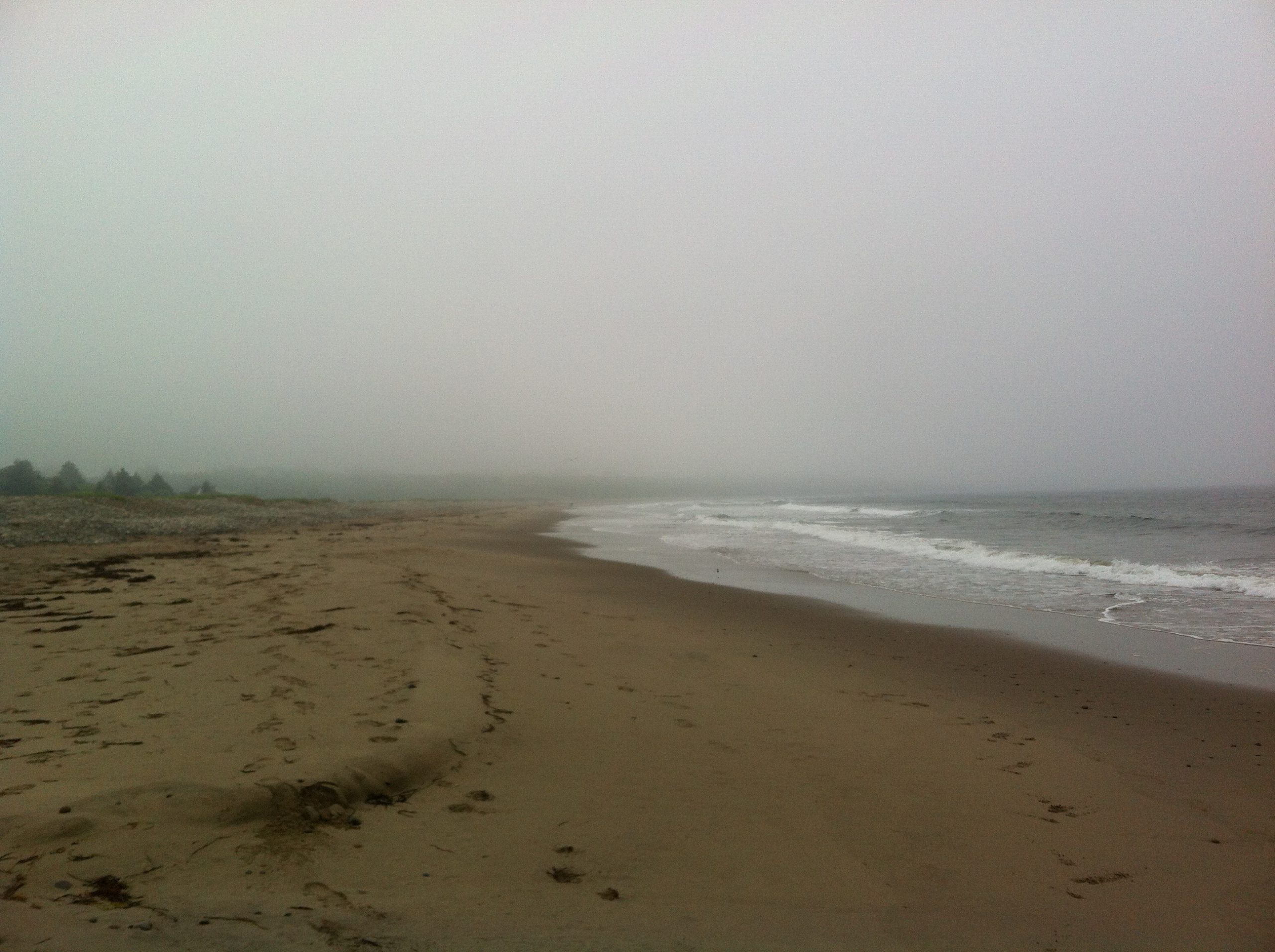
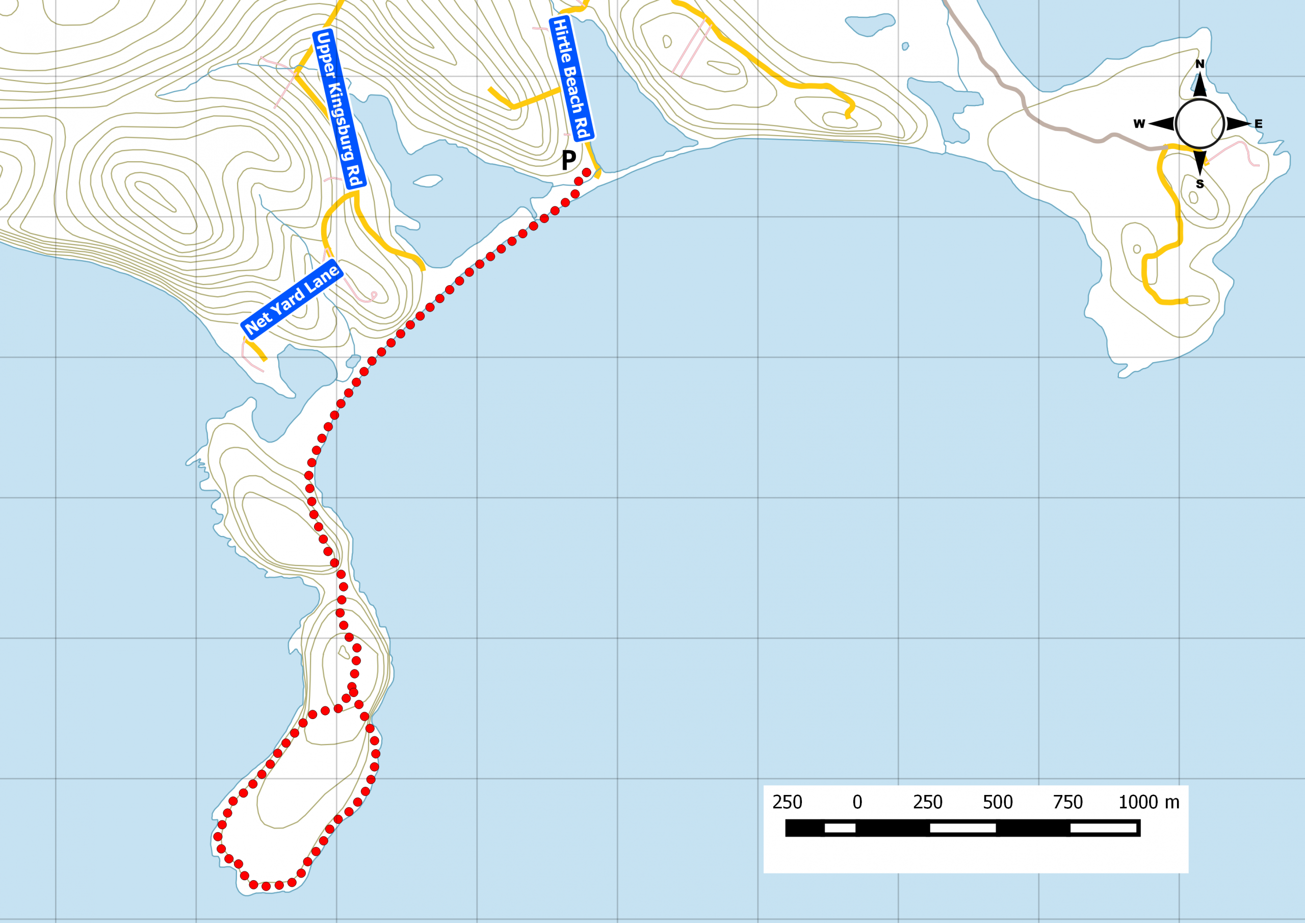
Start at the Hirtle’s Beach parking lot. Walk along the sandy beach (during low tide) to see the interpretation panels for the trail. At this point, you jump off the beach and onto the Gaff Point trail. Considered rustic, this backcountry trail is well-marked and offers great views along the cliffs. Keep pets on leash when entering the trail. Kingsburg Coastal Conservancy Watch this trail on YouTube.
Trip Summary
Trip Stats
Elevation Profile
Terrain & Pace Summary
Easy going with only 166 m of elevation gain (24 m/km) — suitable for most fitness levels.
Easy 3.3 km/h pace — plenty of time to take in the surroundings.
Trails Near This Route
Nearby Trails
Trail Access & Pass Information
- Check your provincial / state OHV registration requirements before riding.
- Verify gate and seasonal-closure status with a local ATV club or land manager.
- Some trail networks require a separate trail pass — confirm with the local OHV association.
Trail Photos
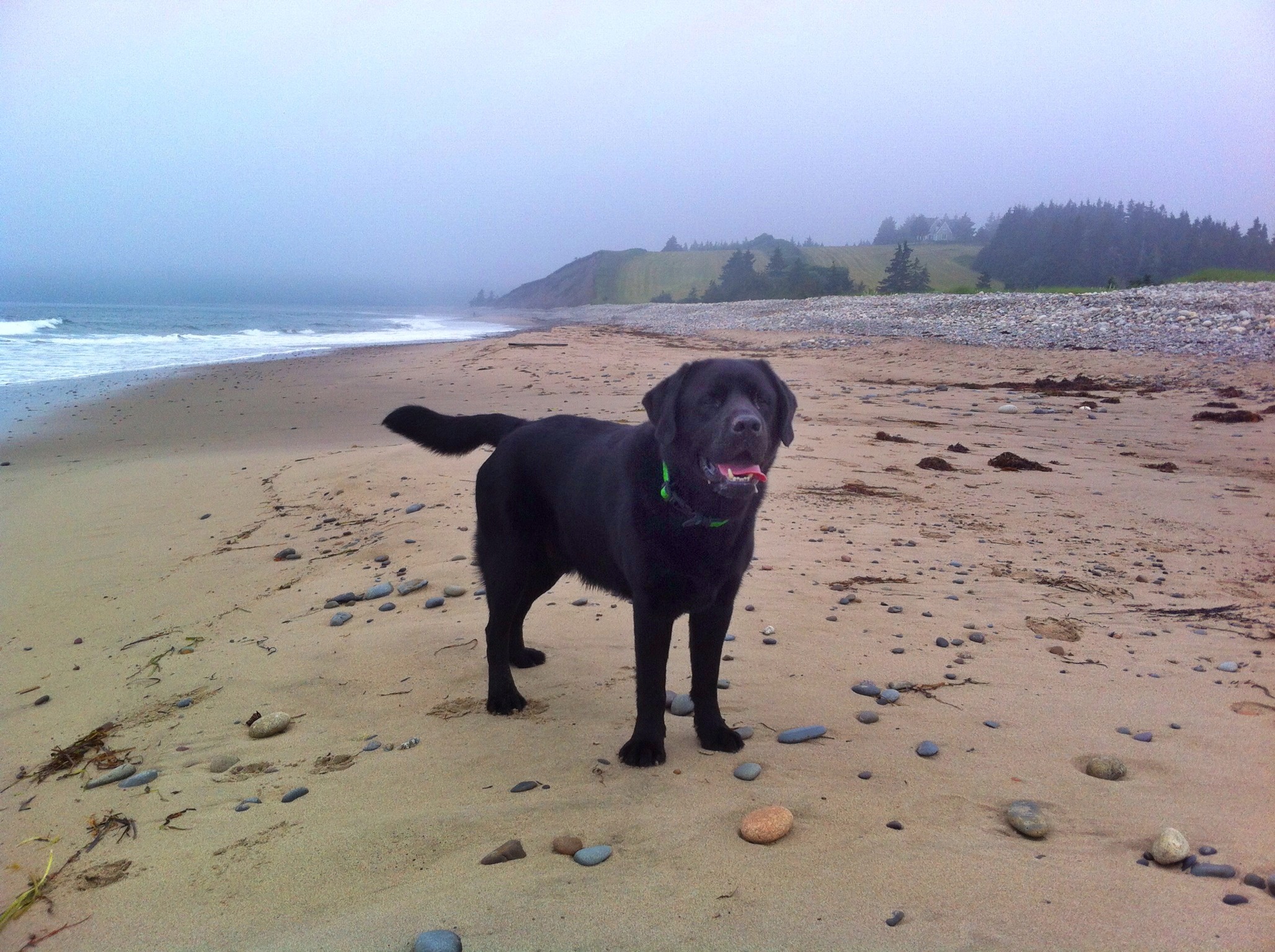
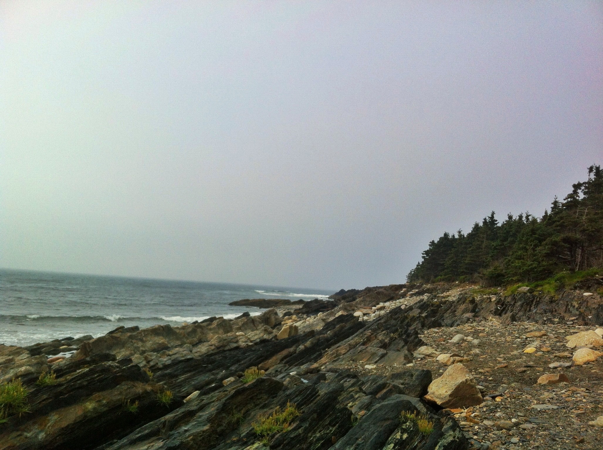
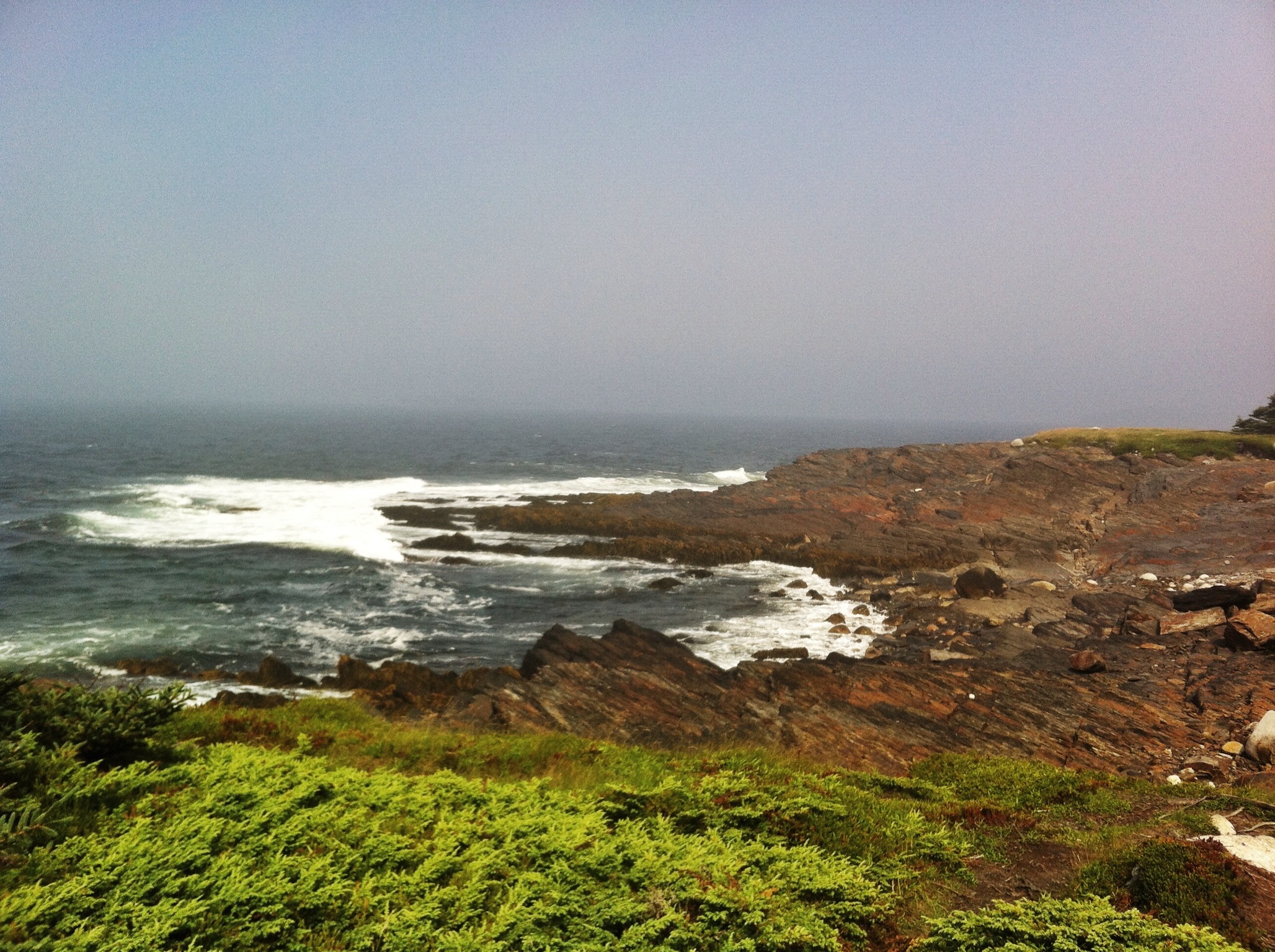
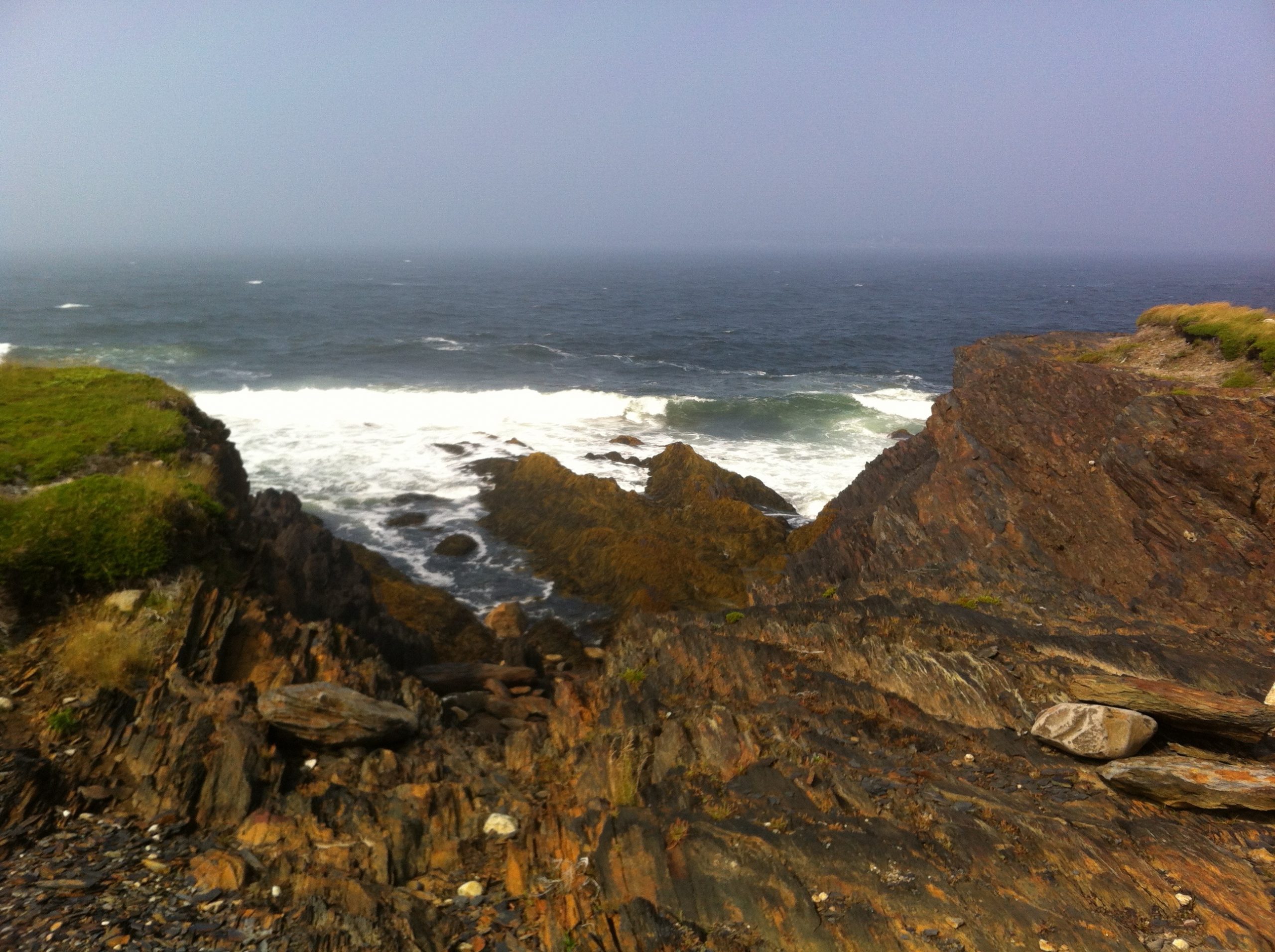
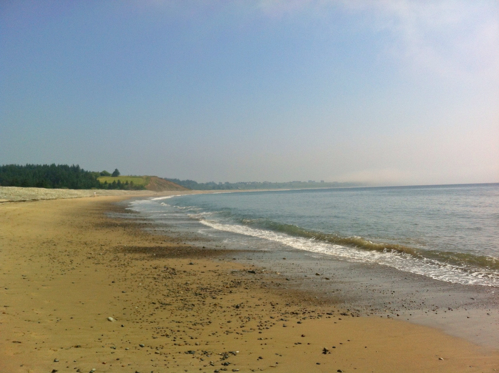
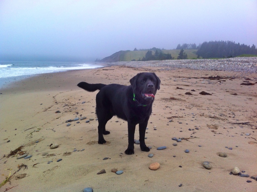
I was researching for a coastal hike, I stumbled upon this place called Gaff Point. There was some recent trail building work and a surge from hiking & outdoor groups were planning outings. This sudden interest deserved a more detailed visit with my hiking buddy – Keji the Black Lab.
Take a Right at Lunenburg to Gaff Point
Getting there was fairly easy, just head for UNESCO old town of Lunenburg, but hang a right and continue along route 332, a few kilometers past another place of interest: Ovens Natural Park.With no signage, you needed to take one last right turn onto Hirtle Beach Road to the trailhead. It was easy to get off-course and along a narrow dirt road before realizing that using a cell phone GPS in this area was difficult since reception was spotty at best. However once back on track, we arrived at the larger than expected parking lot.

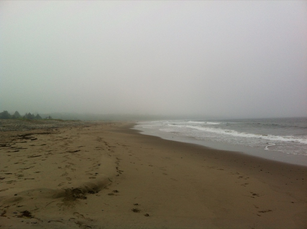
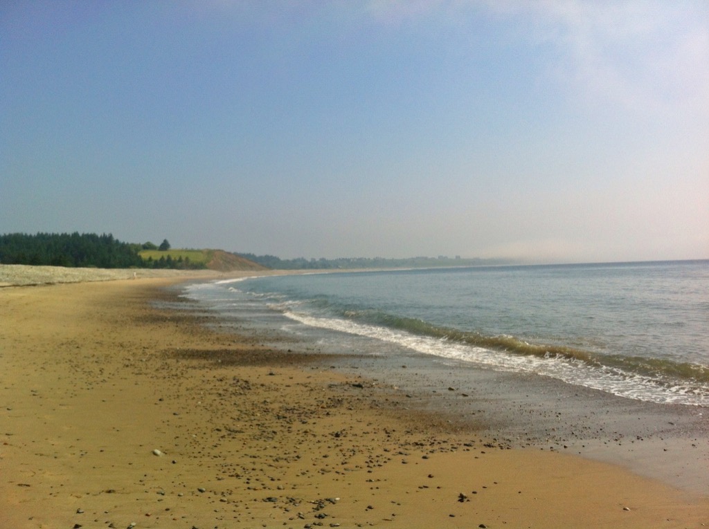
Before actually hitting the trail, we had to walk along Hirtle Beach. I stepped out of the car and suddenly got hit by the cold Atlantic Ocean breeze. Holy smokes! The temperature dropped almost 10 degrees. I reached into my pack and pulled out the light jacket I brought. The weather forecast was clear and sunny. My hiking buddy was having a blast in the cool air and sandy beach. We got to the beach early enough so that we were only 4 people in the area and all had their dogs in tow.
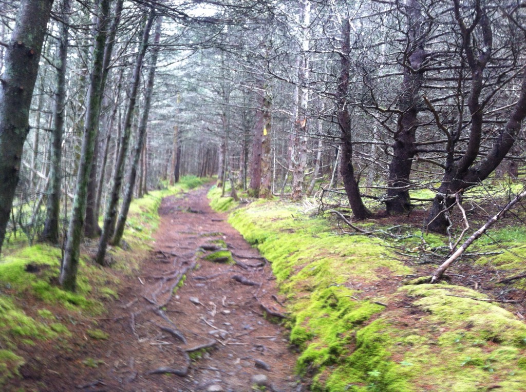
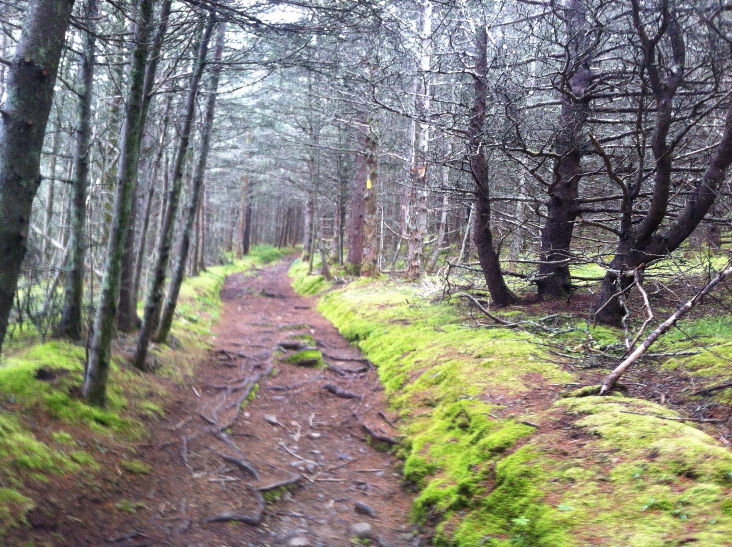
One thing that was well planned was arriving during low-tide; the 2km walk to the trailhead was along the sandy beach instead of the rocks further in shore. We were entering the 124 acres area known as Gaff Point. The Natural Conservancy of Canada and Kingburg Coastal Conservancy look over this point where it acts as a link between two protected habitats. Once we finally got onto the trail, you could see the work that the volunteers have done over the years. The first portion of the hike was up through mostly Black Spruce forest. Along the way we noticed evidence of deer & rabbit. We didn’t see anything from the Canis family on this trip.

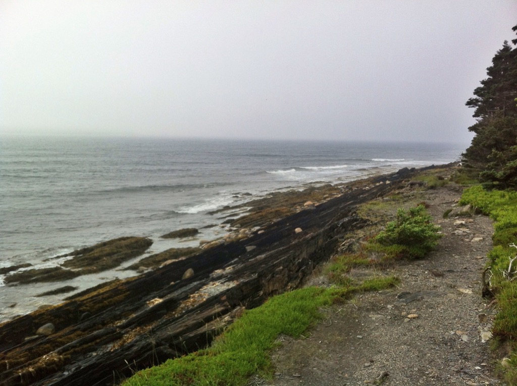
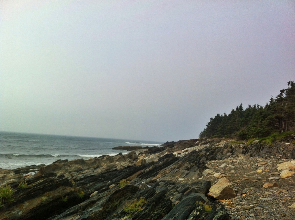
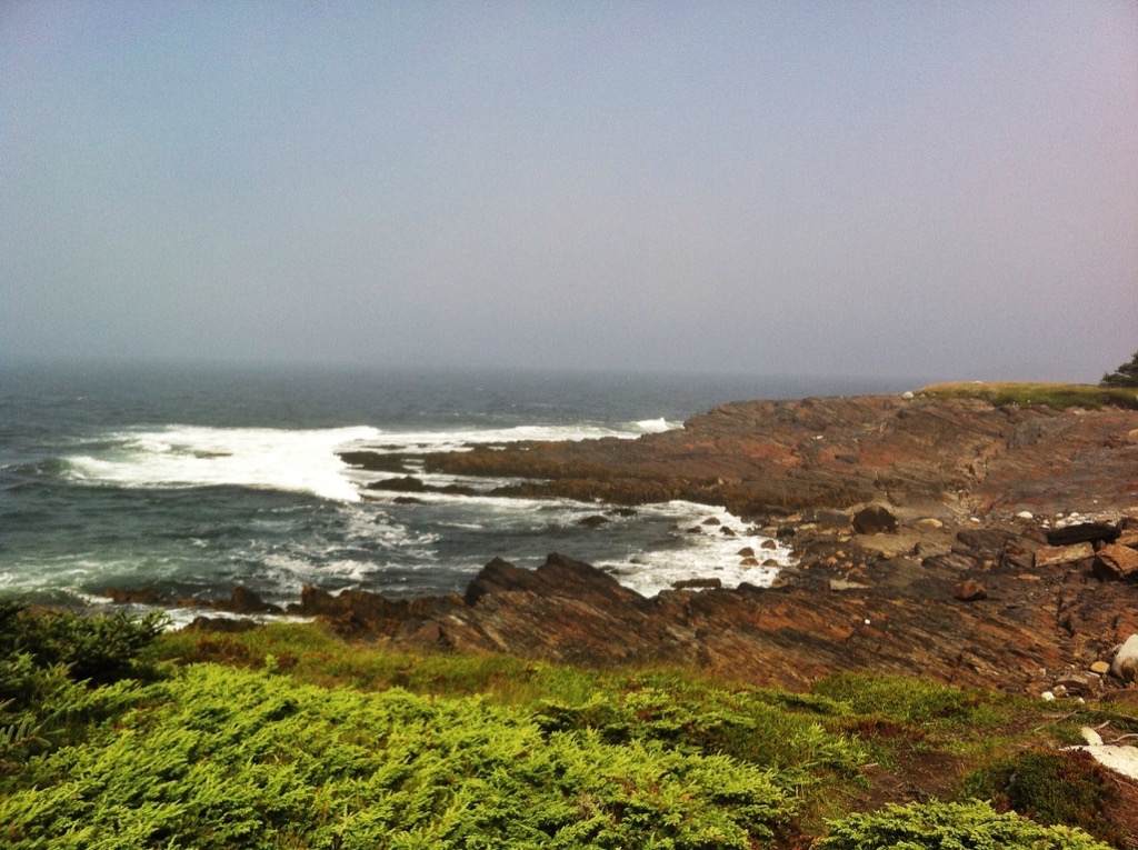
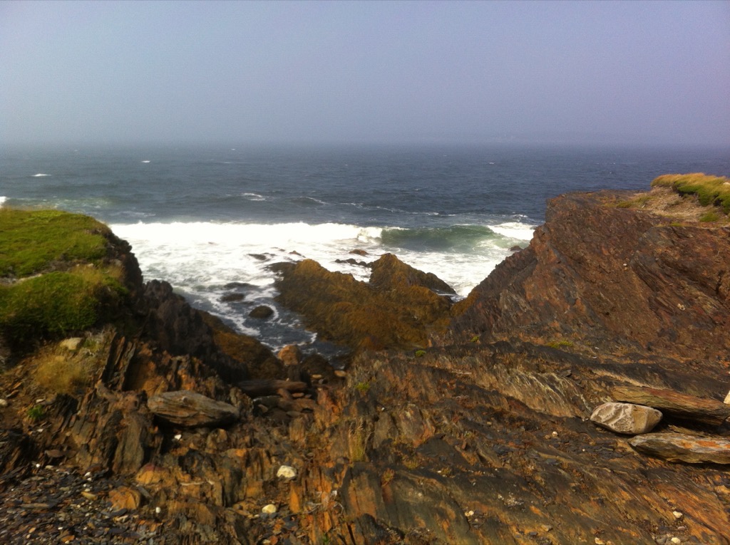
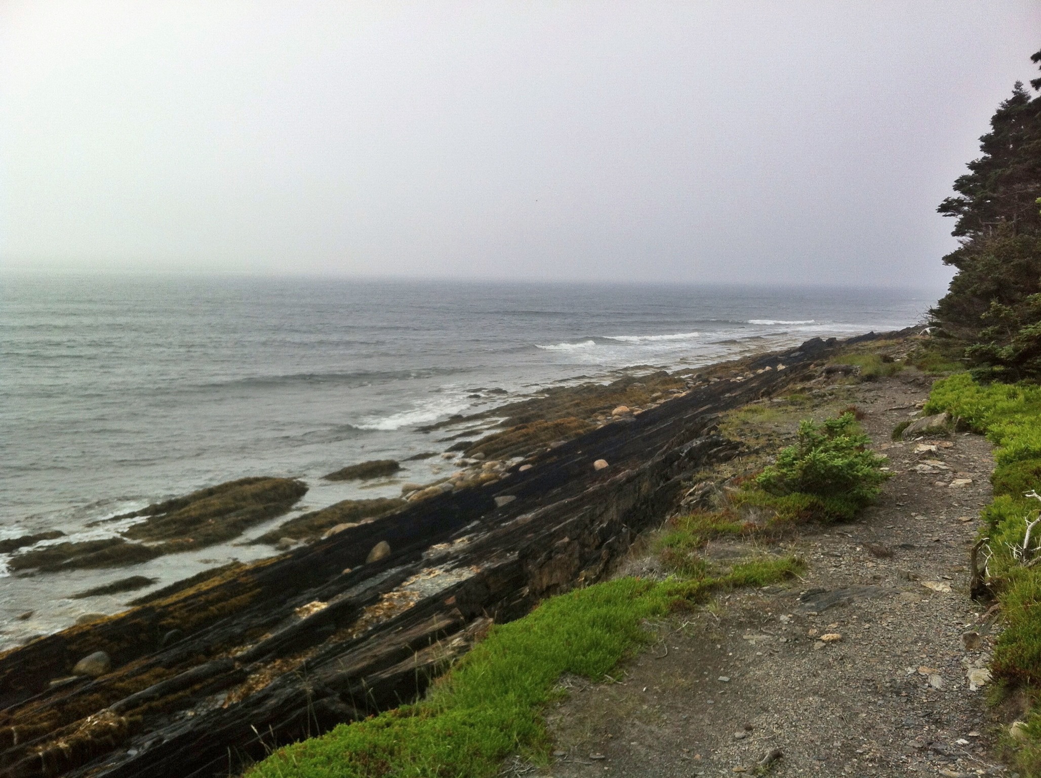
Intermixed with the spruce forests, we would pass berry shrubs and barrens until we started getting close to the edge and finally getting a good look at the Bedrock cliffs. At this point, my hiking buddy was leashed to make sure he stayed on-trail. We went around the point clockwise, so a good portion of the hike was along the bedrock exposures. We took a moment to enjoy the fantastic views of the glacial till as we rounded the point. From here, we saw the more recent trail work keeping us dry as we cross the last few boggy sections.
Not much of a view along the Sand Cove section of trail. We were hungry, so we stopped and had a little snack. We didn’t hear much of anything other than the odd crack of branches on this quiet portion of trail. In the direction of one of the cracks, a deer was sprinting across the trail from us. Guess we were not alone after all hiking buddy.

It was three hours later until we reached the car. By this time, the beach parking lot was full and a lot of people were enjoying the scenery. Our GPS said we traveled 7kms along the rustic & backcountry style trails that day. This area was offered a perfect beach & hiking combo.