From the Nova Scotia Hiking Trail Guide
- Guide category: Stroller Friendly
- Length: 4 km (one-way)
- Difficulty: 1A
- Duration: 45 minutes
- Book trailhead: N44 40.454 W63 33.819
 Bicycle trail
 Information
 Litter Receptacle
 Pets on leash / Dog friendly
 Stay on trail
 Strollers
 Trailhead
 Parking
Freshwater lake in downtown Dartmouth, and home to multiple canoe/kayak clubs.
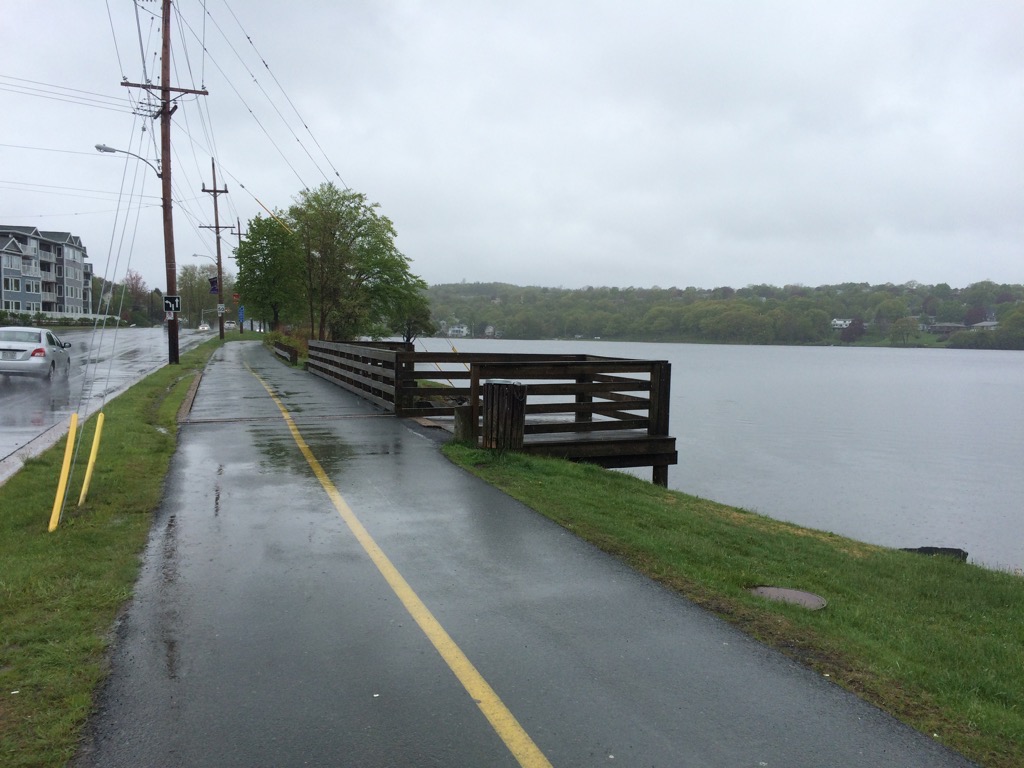
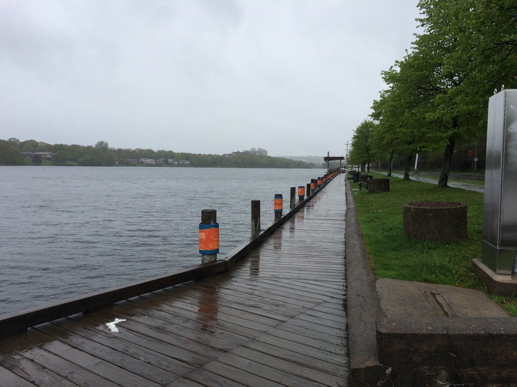
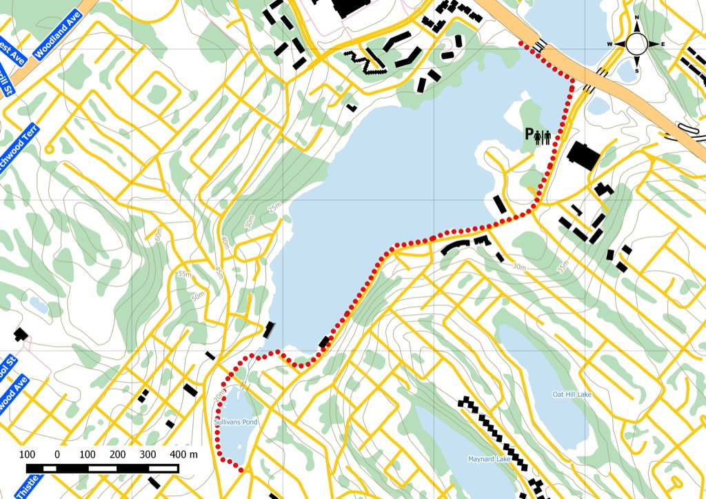
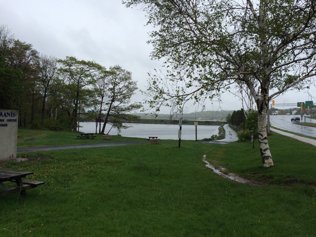
Starting at Sullivans Pond , this paved boardwalk winds along Lake Banook in Dartmouth. It’s one of the most popular multi-use trails around. On a nice day, expect to see lots of walkers, runners, and strollers. In the summer, canoes and kayaks fill the lake. If you want, you can watch the Banook Canoe club national team practice. They’re world class. The boardwalk is part of the Trans Canada Trail. Crossing the pedestrian footbridge links you up with the Shubenacadie Corridor Trail which takes you through Shubie Park and along Lake Charles. Parking can be found along the streets or at Graham ’ s Grove Park. For transit users, take bus 54 or 62 .
Nice boardwalk walkway along Lake Banook in Dartmouth NS. Great for walking, running, biking & strollers.
Trail Location
- Starting waypoint: 44.674231, -63.563648 (open map)
- Location source: Trail waypoint from gpx_for_app index
- GPX file: Lake_Banook.gpx
- GPX track name: Lake Banook
Recent Trail Notes
Recent trail-related items found during a five-year scan from July 12, 2021 through July 12, 2026. Verify access, closures, and conditions with the park, trail manager, or local association before heading out.
- 2026-07-02 – Dartmouth welcomes paddlers to Lake Banook for world championships – CBC (CBC)
- 2026-06-27 – World’s top masters paddlers put Dartmouth’s Lake Banook in the spotlight – PNI Atlantic News (PNI Atlantic News)
- 2026-06-25 – World canoe championship gets underway in Dartmouth’s Lake Banook – CTV News (CTV News)
Trip Summary
Trip Stats
Elevation Profile
Terrain & Pace Summary
Good rolling terrain with 75 m of gain over 2.0 km (38 m/km). Rewarding underfoot without being punishing.
Easy 4.2 km/h pace — plenty of time to take in the surroundings.
Trails Near This Route
Nearby Trails
Trail Access & Pass Information
- Check your provincial / state OHV registration requirements before riding.
- Verify gate and seasonal-closure status with a local ATV club or land manager.
- Some trail networks require a separate trail pass — confirm with the local OHV association.
Trail Photos