From the Nova Scotia Hiking Trail Guide
- Guide category: Walk In The Park
- Length: 1.2 km (one-way)
- Difficulty: 1B
- Duration: 30 minutes
- Book trailhead: N44 39.978 W63 40.388
 Bicycle trail
 Transit access
 Litter Receptacle
 Parking
 Pets on leash / Dog friendly
 Stay on trail
 Trailhead
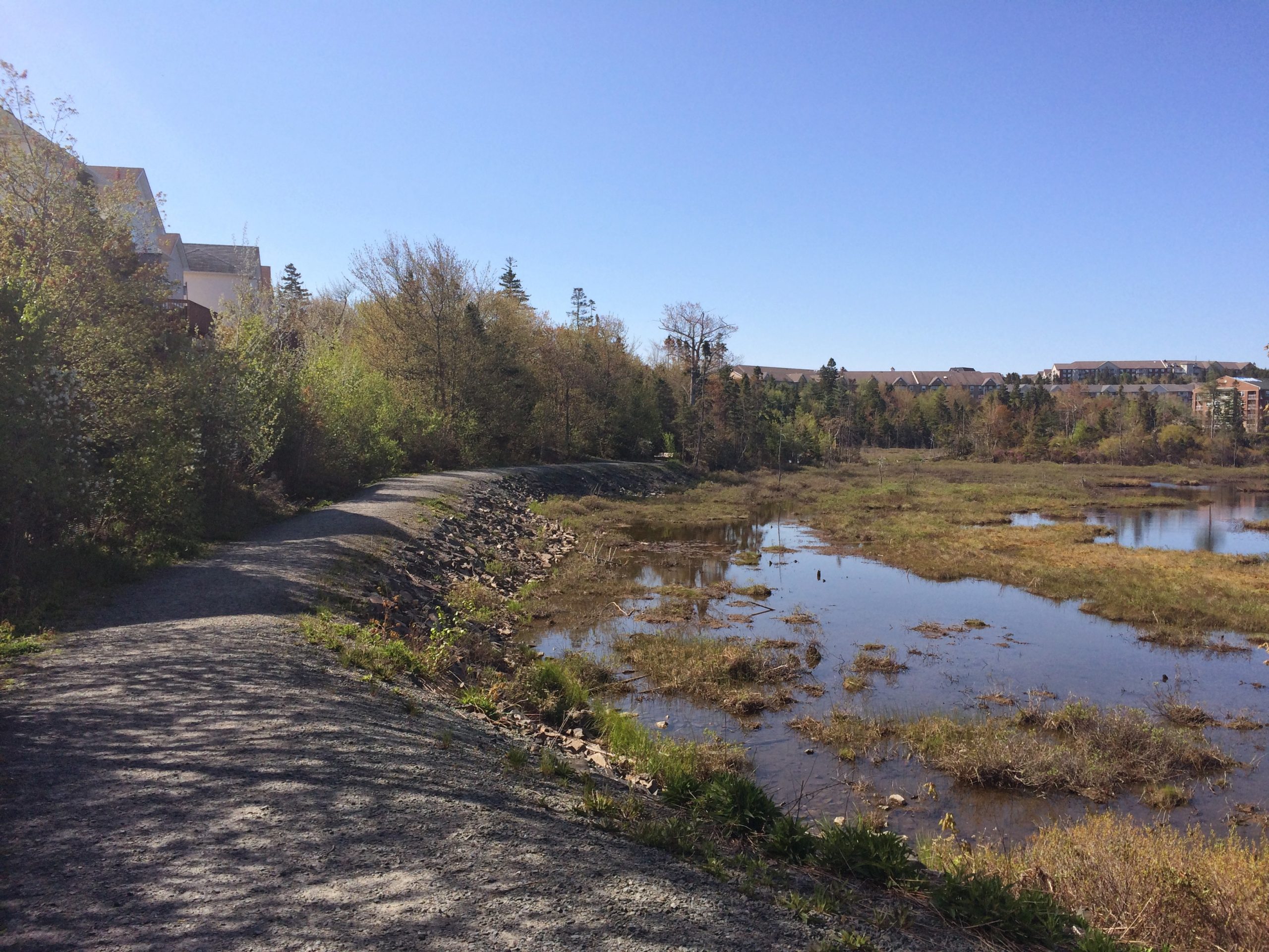
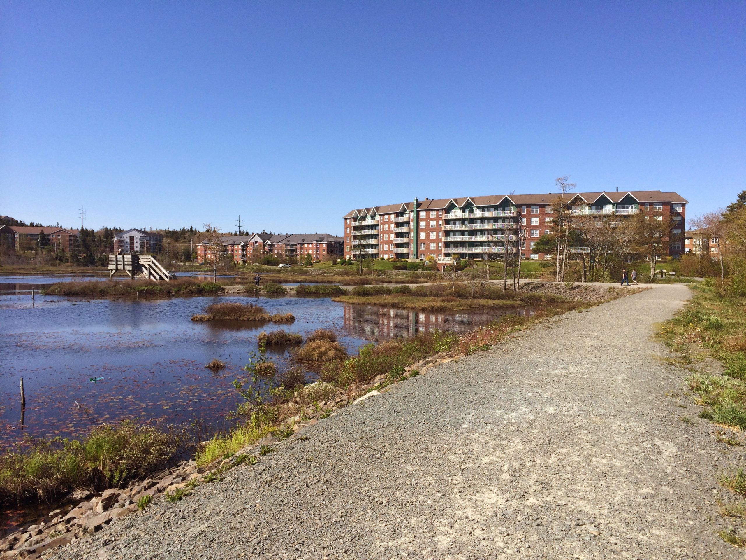
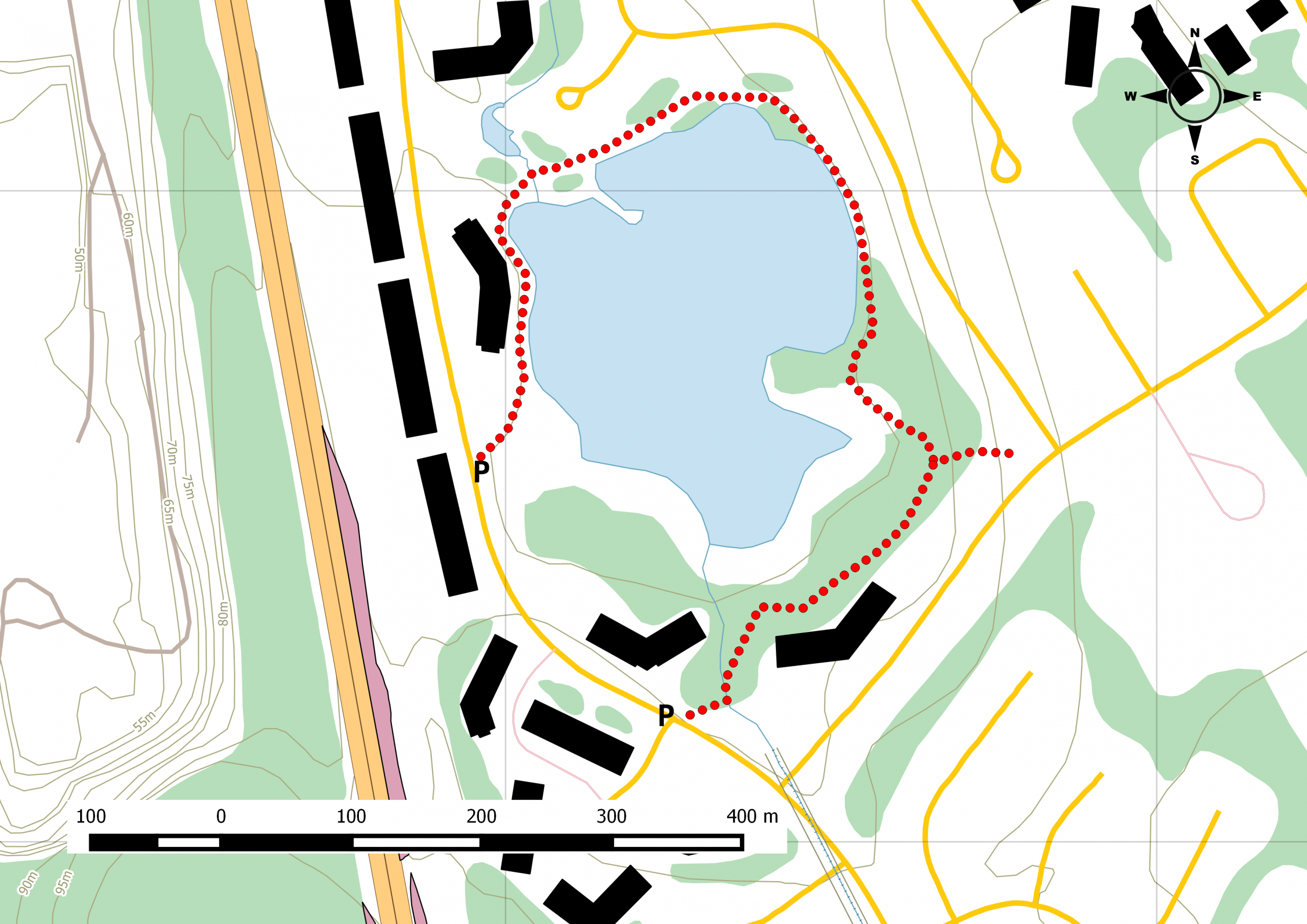
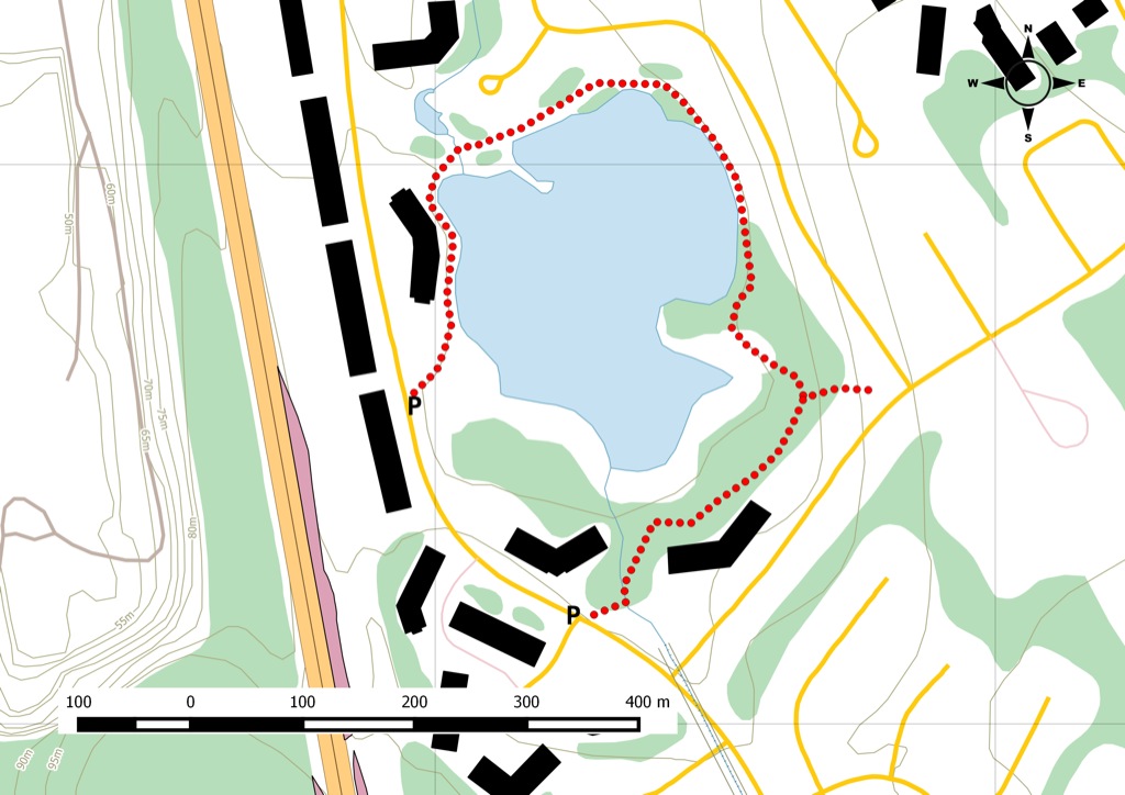
Easy loop around a marsh in Clayton Park.
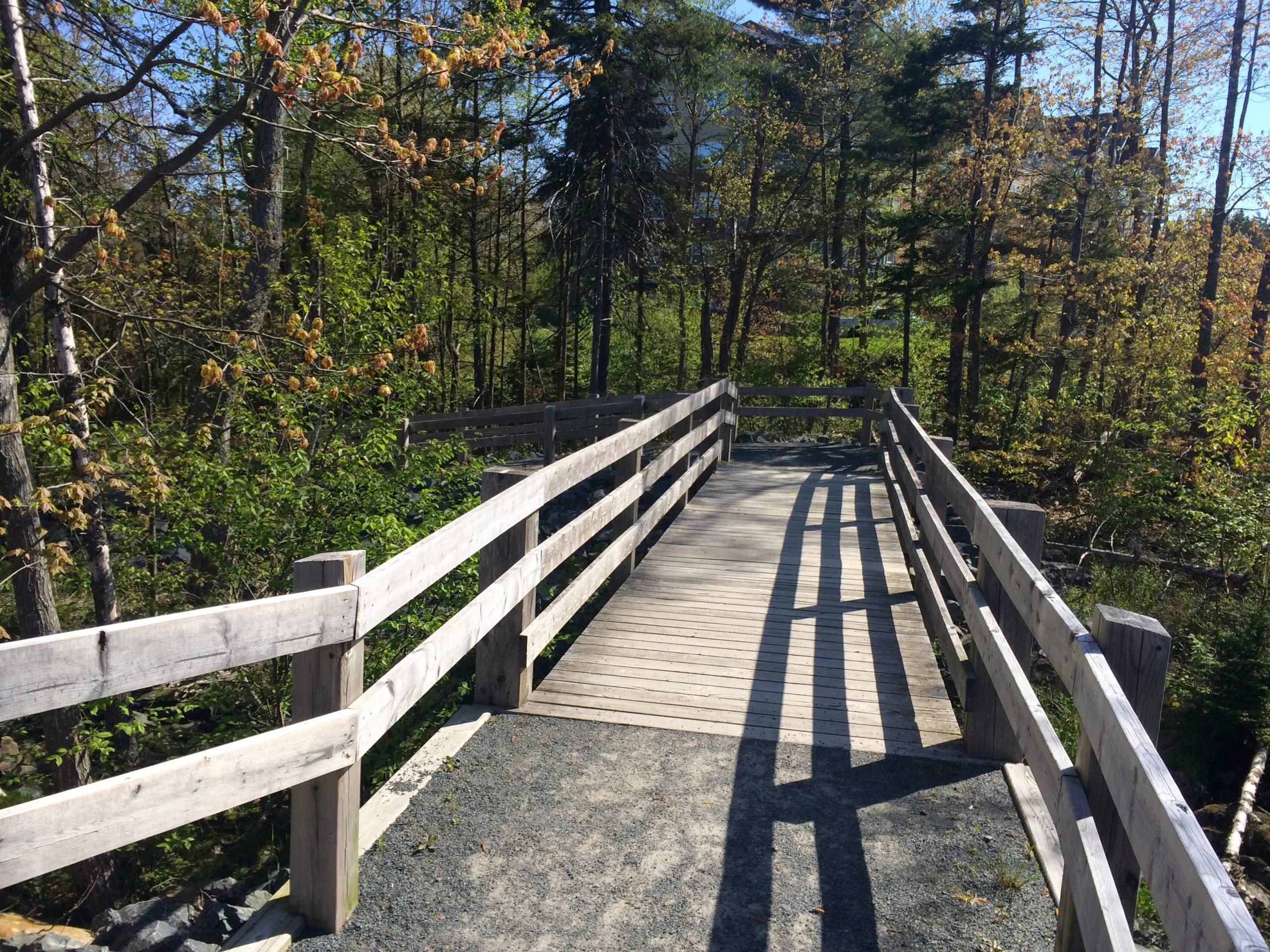
This is a nice path on a tiny piece of marshland that runs along Parkland Drive, adjacent to the Mainland North Linear Parkway. It’s not maintained during the winter, but in the warmer months, you can stroll and watch the waterfowl that use the marsh extensively. There are benches along the trail and an observation deck with a great view. Parking Transit users can take bus routes 16 and 89 .
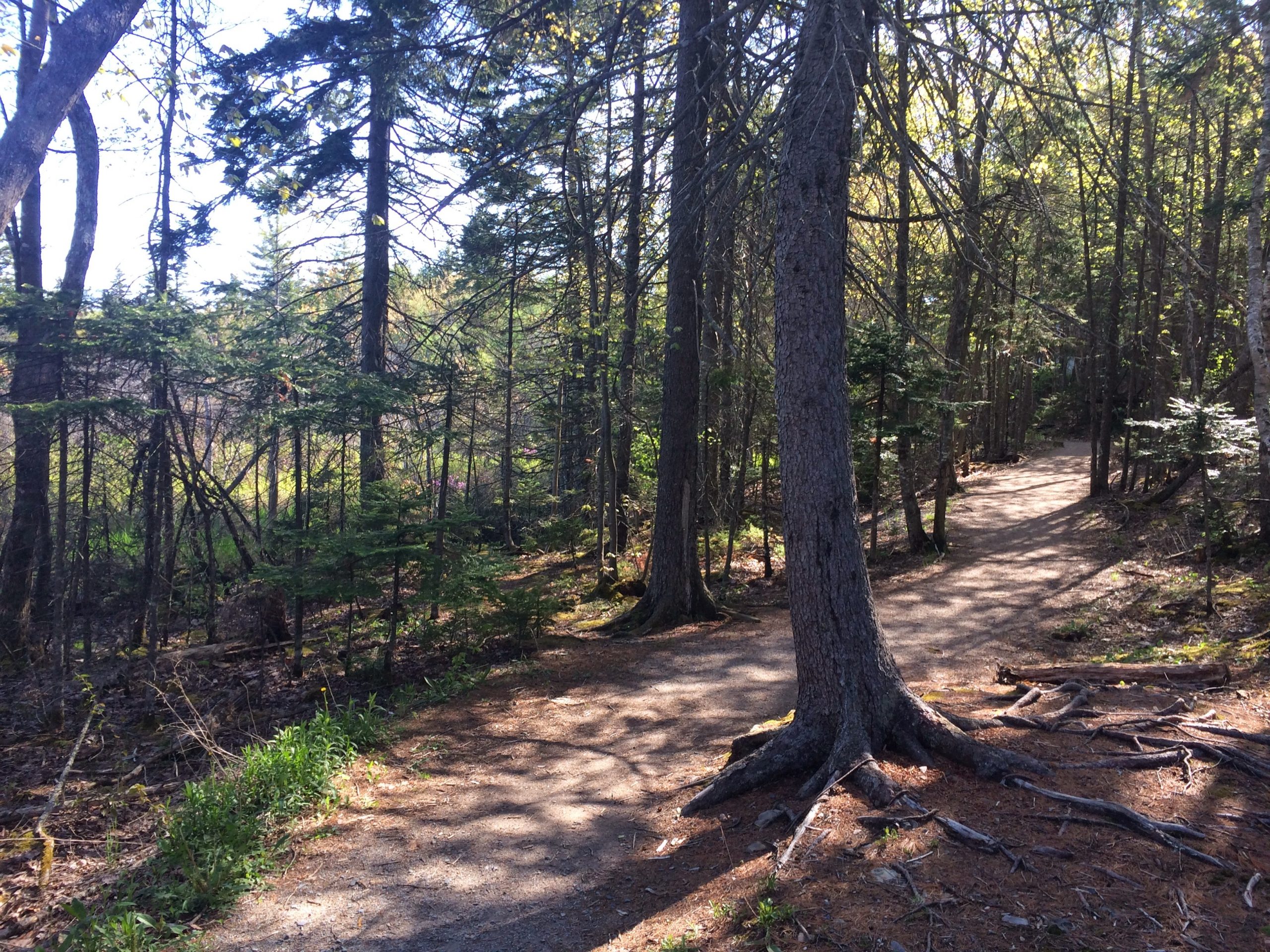
Groomed trail with some elevation along Langbrae drive, this path goes around Belcher’s Marsh. Multiple access points via Parkland drive and surrounding streets, you can extend your hike by using the connector trail to Little Belchers Pond (not viewed in this track)
Trail Location
- Starting waypoint: 44.666262, -63.673154 (open map)
- Location source: Trail waypoint from gpx_for_app index
- GPX file: BelchersMarshTrail.gpx
- GPX track name: Belchers Marsh Trail
Recent Trail Notes
Recent trail-related items found during a five-year scan from July 12, 2021 through July 12, 2026. Verify access, closures, and conditions with the park, trail manager, or local association before heading out.
No recent trail-specific news item was found in the five-year scan. This draft keeps the section as a review note so it can be refreshed before publishing.
Trip Summary
Trip Stats
Elevation Profile
Terrain & Pace Summary
Easy going with only 25 m of elevation gain (20 m/km) — suitable for most fitness levels.
Easy 3.6 km/h pace — plenty of time to take in the surroundings.
Trails Near This Route
Nearby Trails
Trail Access & Pass Information
- Check your provincial / state OHV registration requirements before riding.
- Verify gate and seasonal-closure status with a local ATV club or land manager.
- Some trail networks require a separate trail pass — confirm with the local OHV association.
Trail Photos