From the Nova Scotia Hiking Trail Guide
- Guide category: Walk In The Park
- Length: 2.4 km (return)
- Difficulty: 2B
- Duration: 40 minutes
- Book trailhead: N44 52.644 W63 48.945
 Information
 Litter Receptacle
 Parking
 Pets on leash / Dog friendly
 Stay on trail
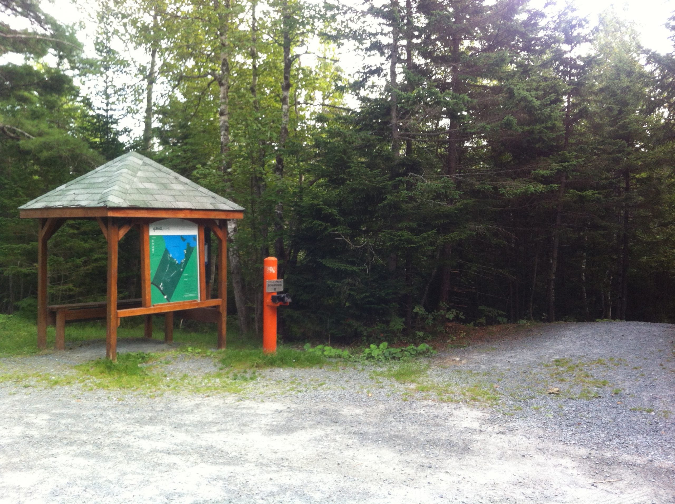
 Trailhead
Well maintained trails in an area described as “very rocky & barren”
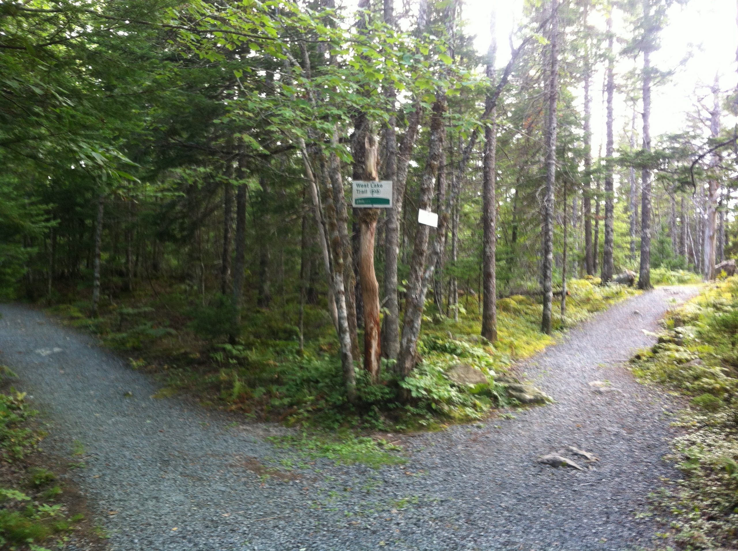
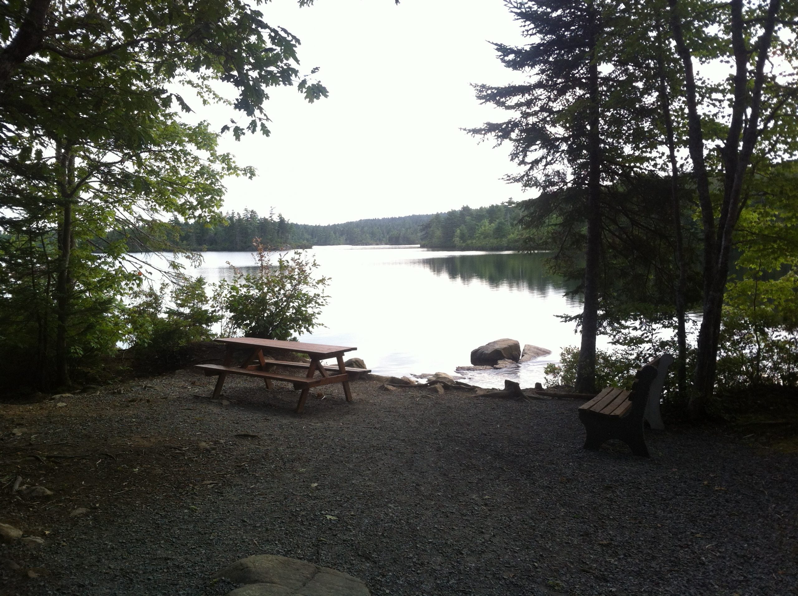
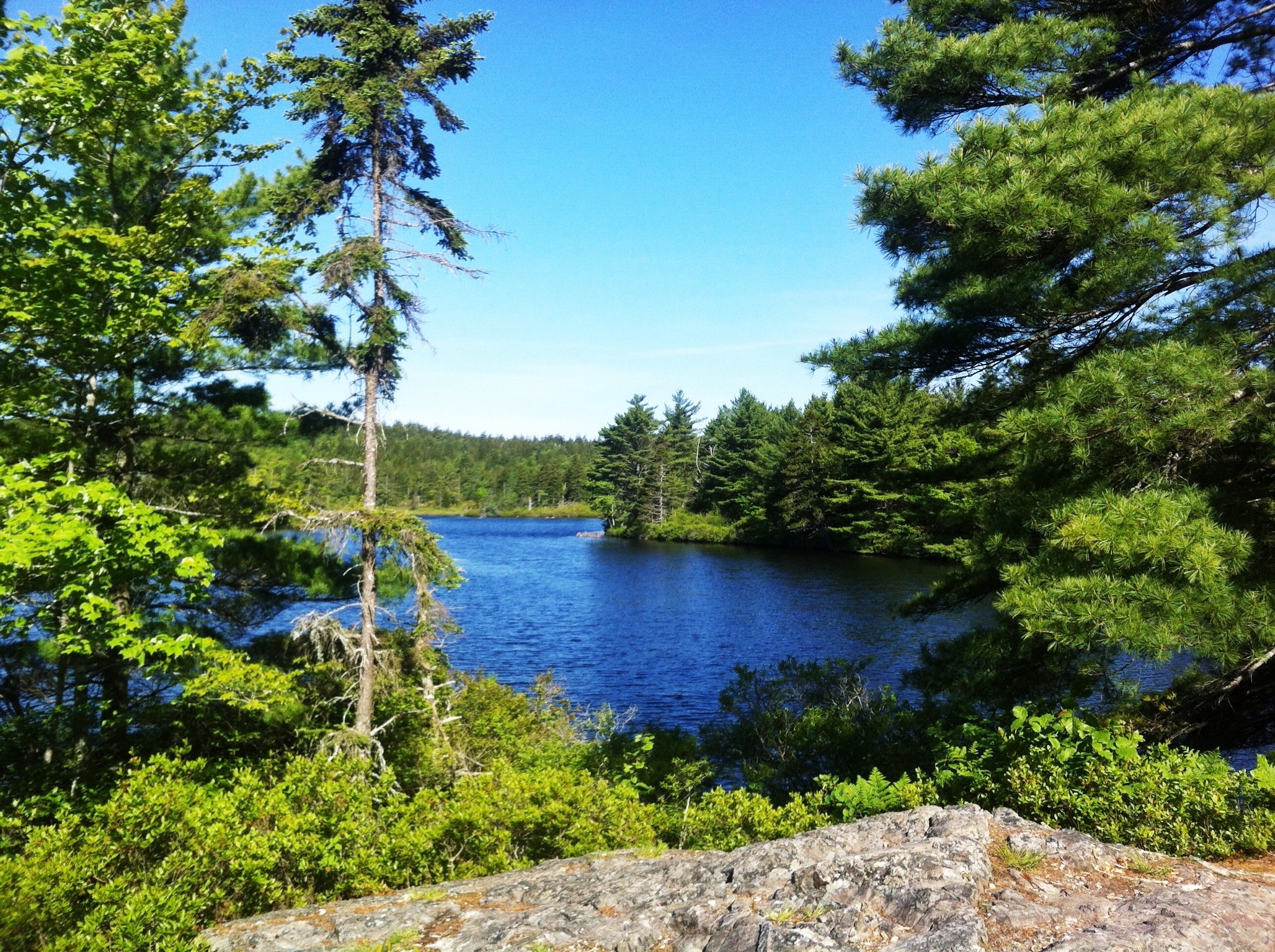
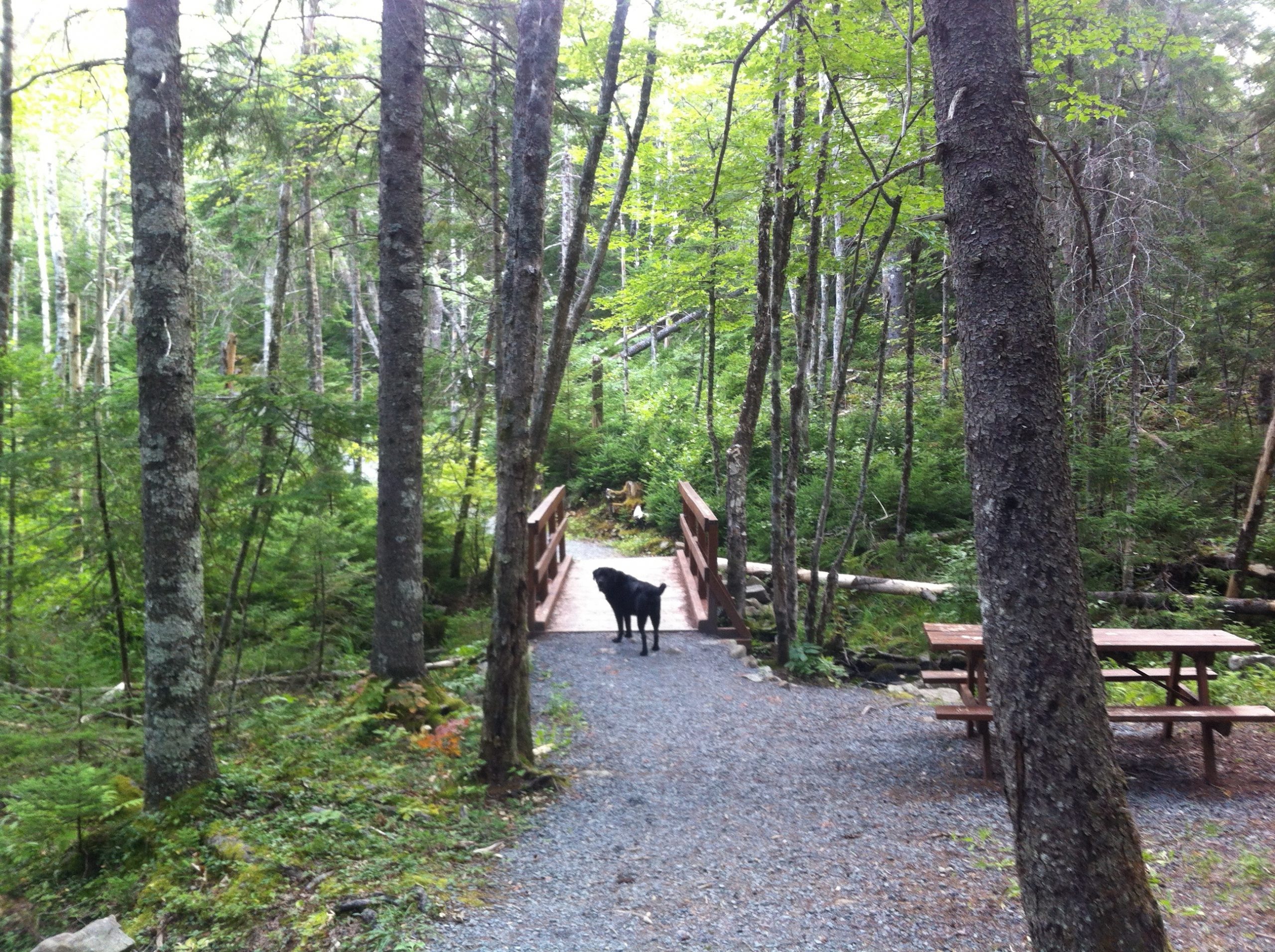
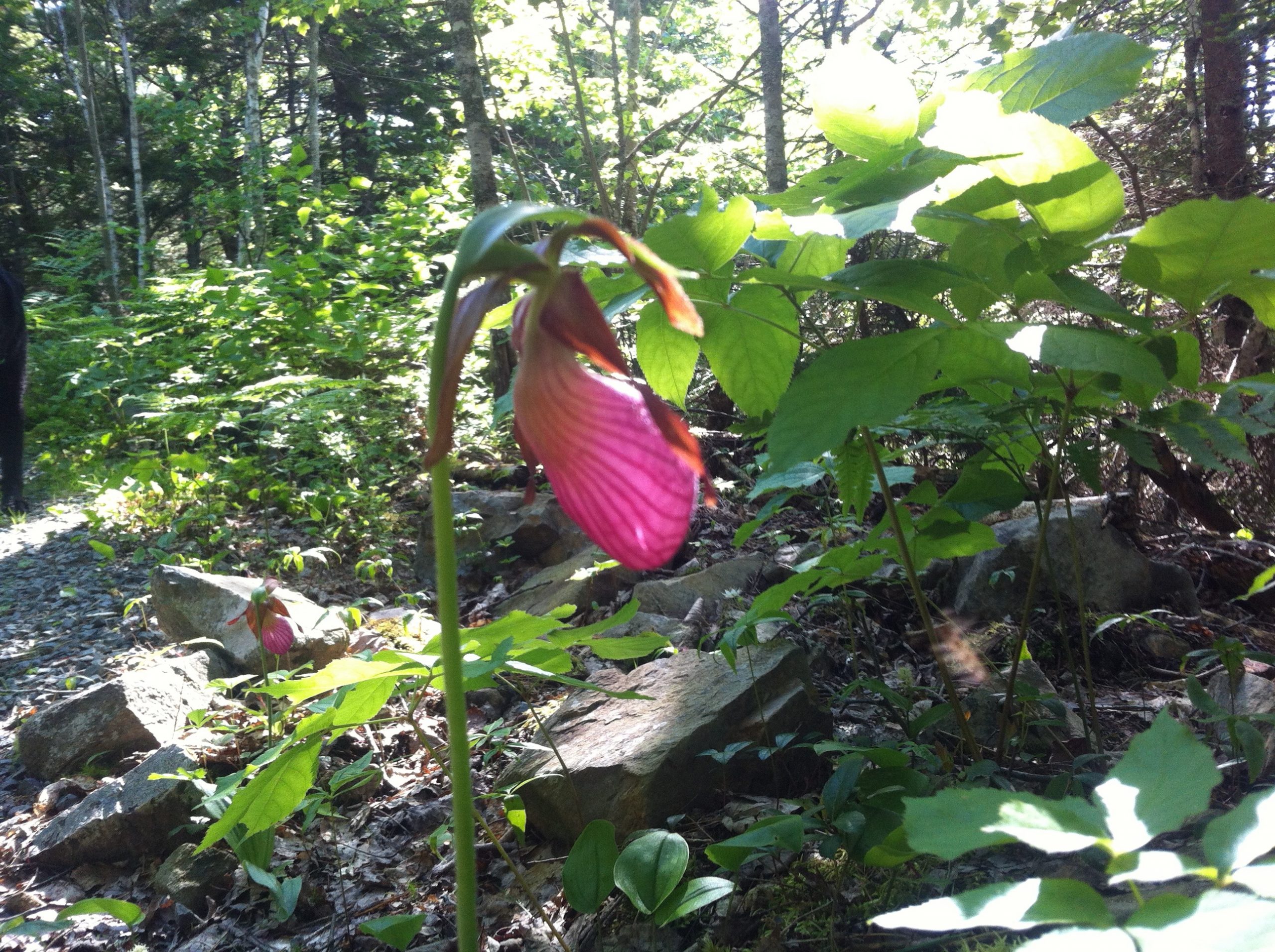
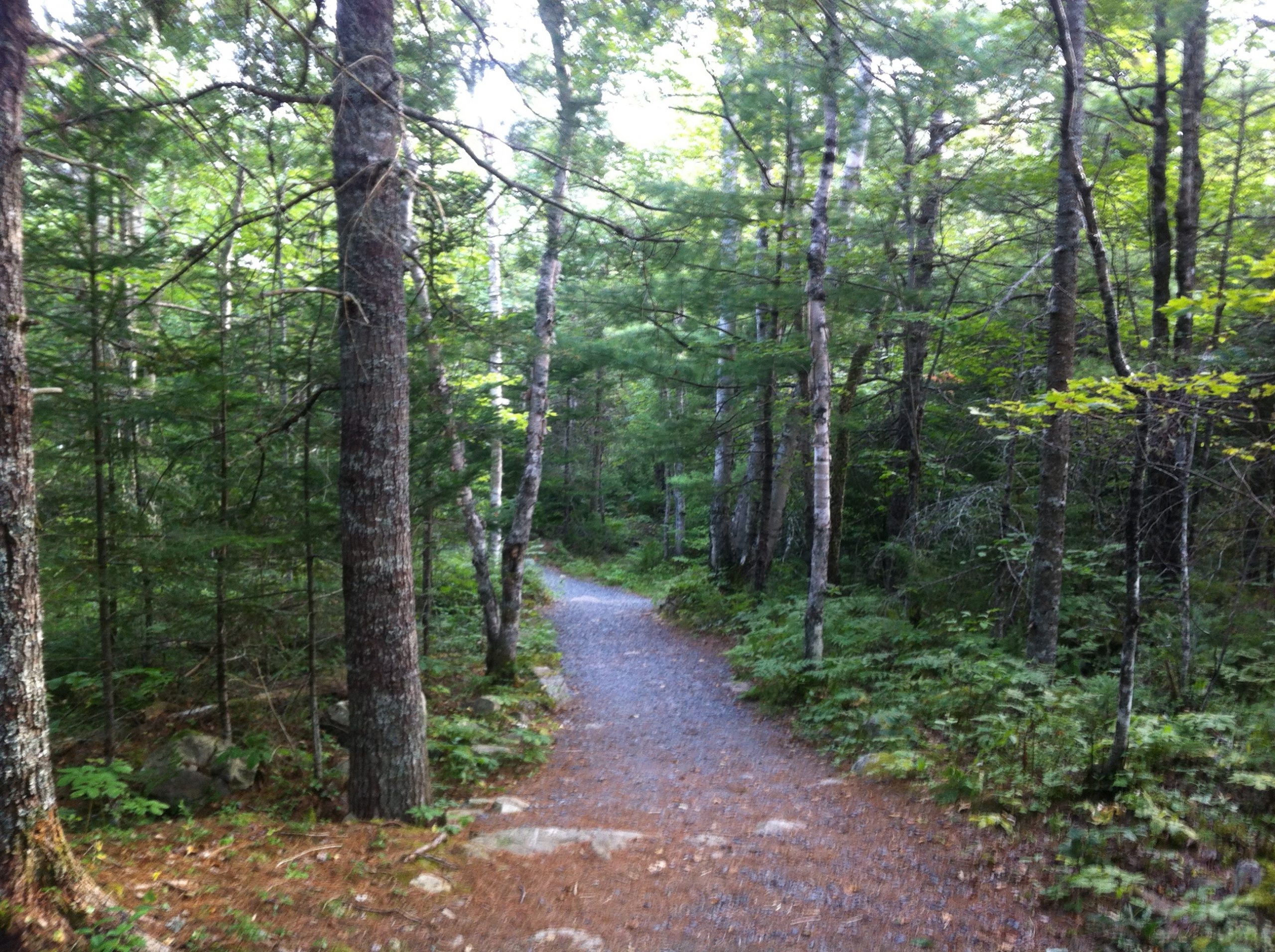
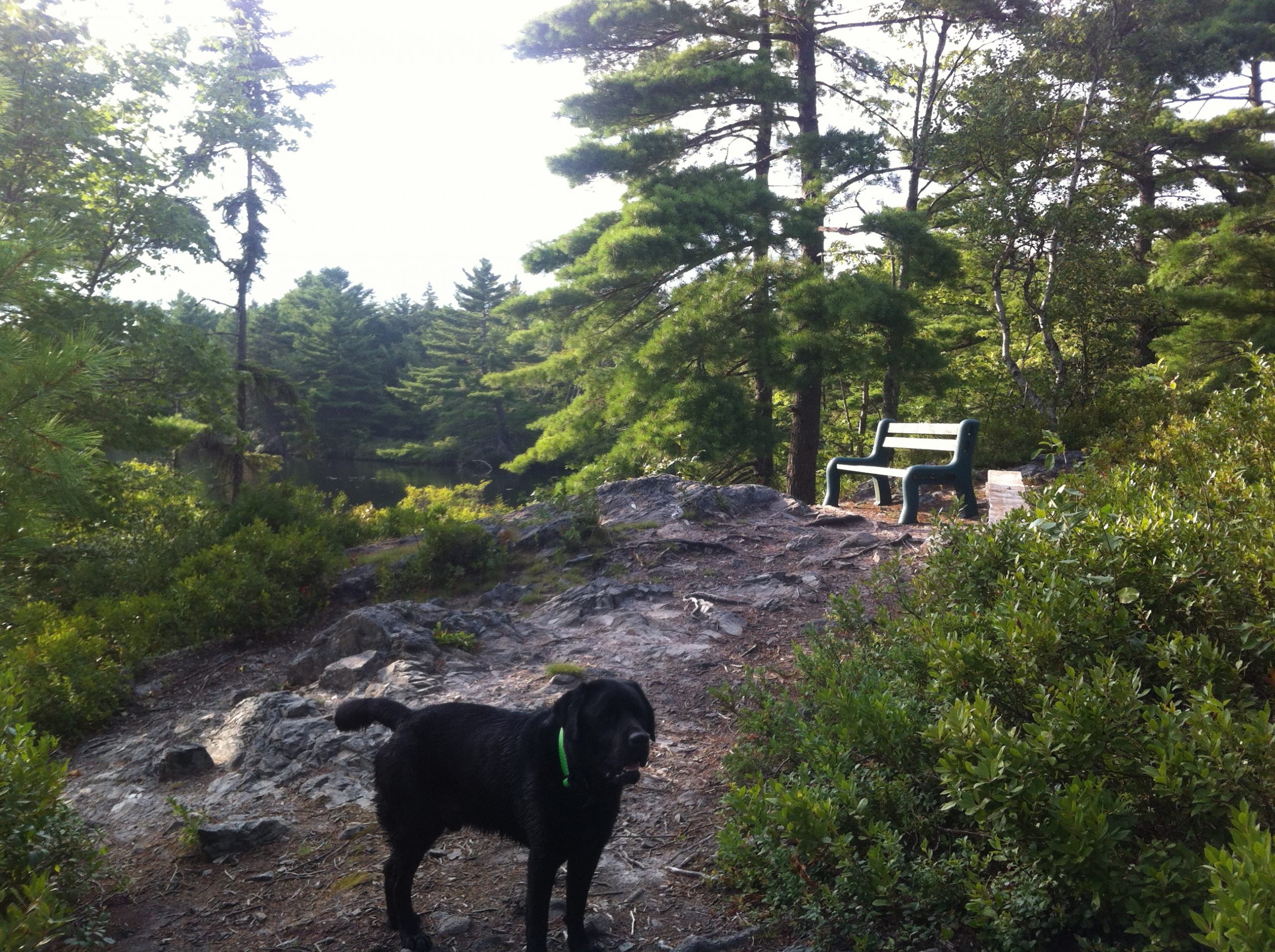
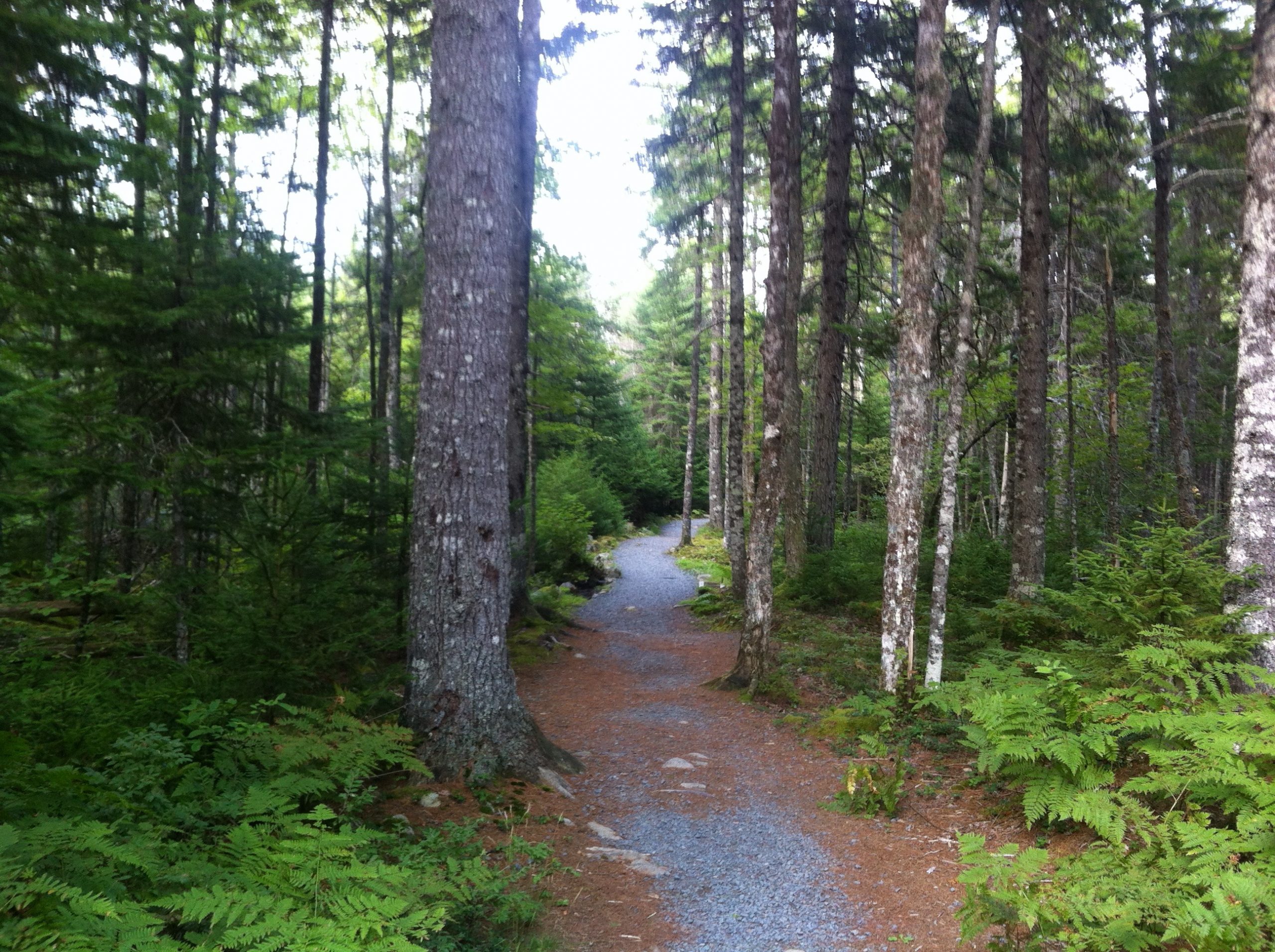
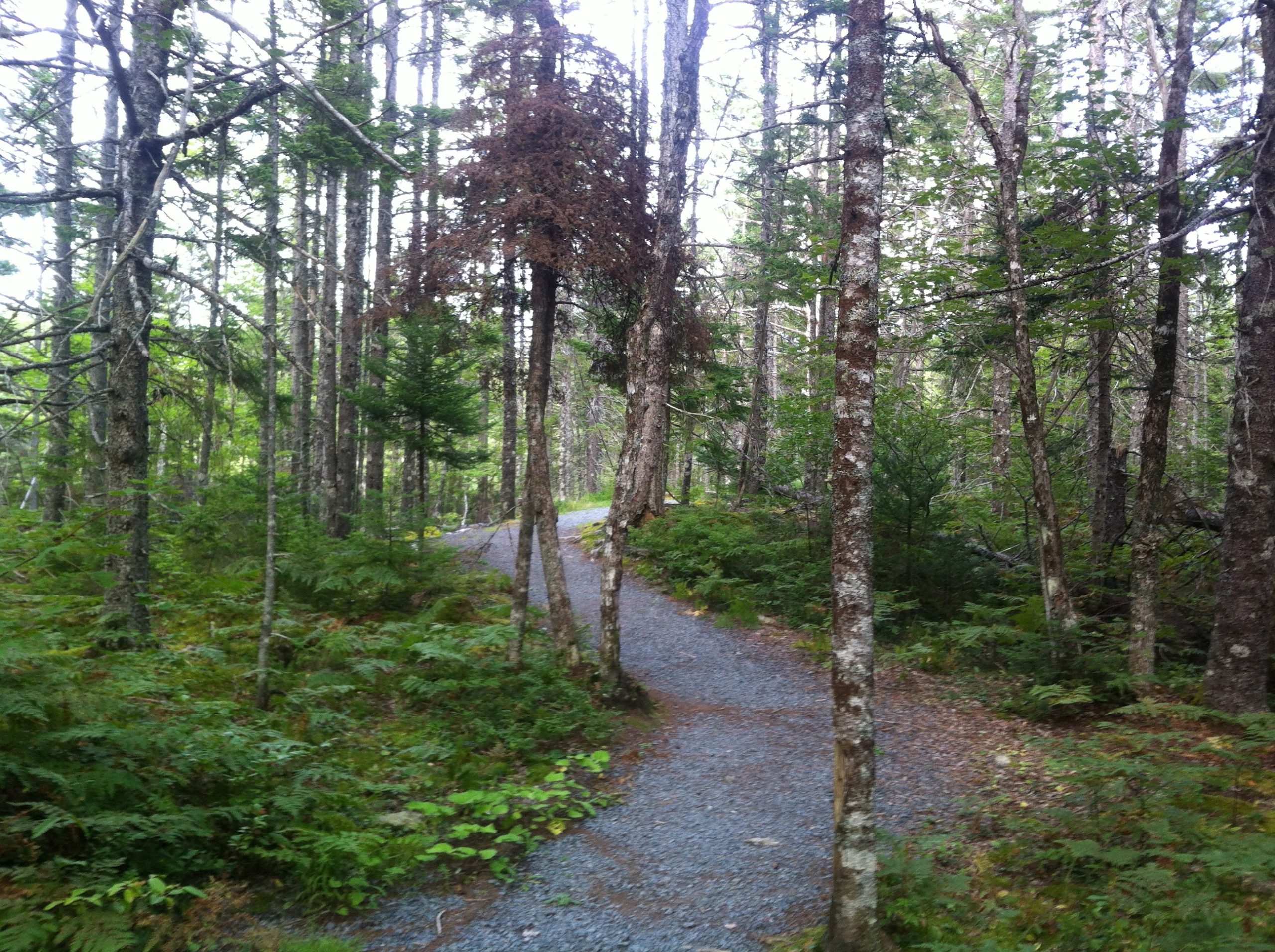
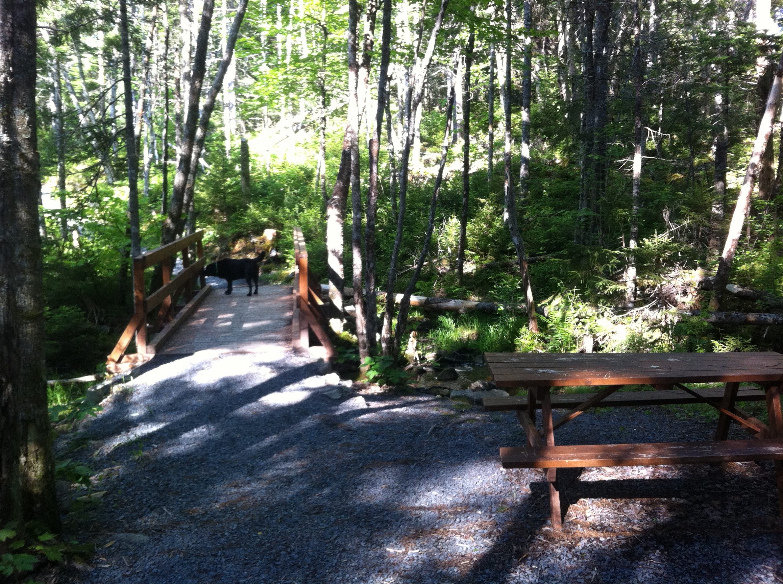
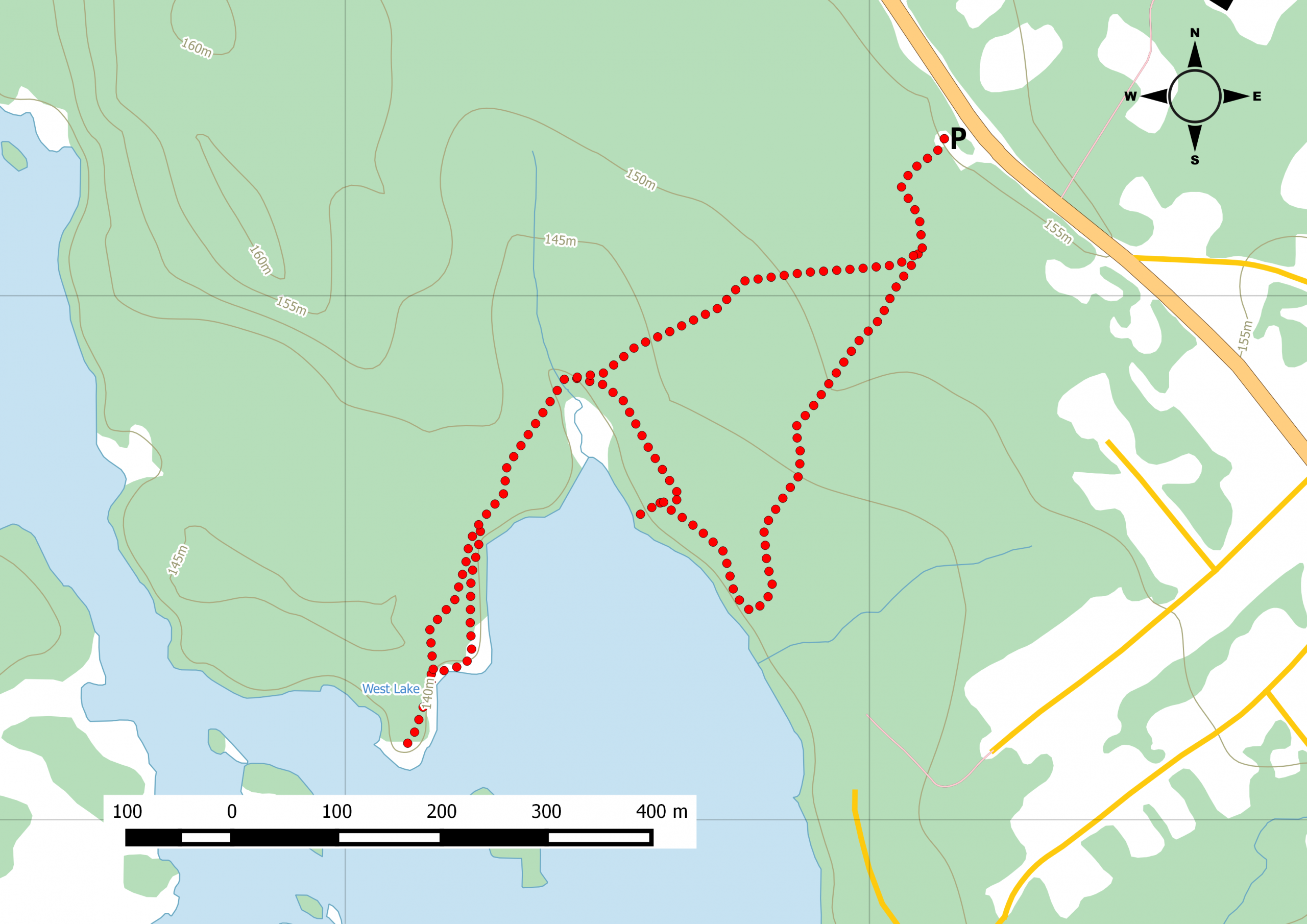
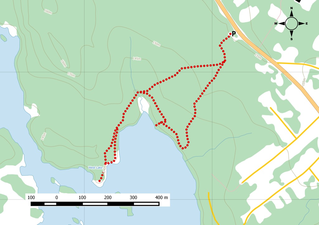
Managed by Bell Park Development Association, this 55-acre community trail runs approximately 3.5km from Uniacke Estate Museum along Route 1. From the parking lot, the trail starts as a single path before splitting in two at what can only be described as the perfect fork in the road. Paths are well-maintained with some rolling hills. In the spring, Nova Scotia lady slippers decorate the route. But don’t pick one, these wildflowers are endangered. The Rocky trail leads up to a nice view of West Lake. Picnic tables offer a few spots to rest along the way.
This is a nice short hike with a few loop trails with a few viewpoints around the lake. Picnic tables along the trails and a few benches at the best viewpoints. Well groomed trails and catch Lady Slippers in the spring.
Trail Location
- Starting waypoint: 44.877387, -63.815767 (open map)
- Location source: Trail waypoint from gpx_for_app index
- GPX file: BELLPARK.gpx
- GPX track name: BELLPARK
Recent Trail Notes
Recent trail-related items found during a five-year scan from July 12, 2021 through July 12, 2026. Verify access, closures, and conditions with the park, trail manager, or local association before heading out.
No recent trail-specific news item was found in the five-year scan. This draft keeps the section as a review note so it can be refreshed before publishing.
Trip Summary
Trip Stats
Elevation Profile
Terrain & Pace Summary
Easy going with only 46 m of elevation gain (10 m/km) — suitable for most fitness levels.
Easy 4.0 km/h pace — plenty of time to take in the surroundings.
Trails Near This Route
Nearby Trails
Trail Access & Pass Information
- Check your provincial / state OHV registration requirements before riding.
- Verify gate and seasonal-closure status with a local ATV club or land manager.
- Some trail networks require a separate trail pass — confirm with the local OHV association.
Trail Photos