
From the Nova Scotia Hiking Trail Guide
- Guide category: Historical Trails
- Length: 9 km (return)
- Difficulty: 3C
- Duration: 3 hours
- Book trailhead: N44 45.664 W65 38.943
 Trailhead
 Pets on leash / Dog friendly
 ParkingPicnic area
 Restrooms / Pit Toilet
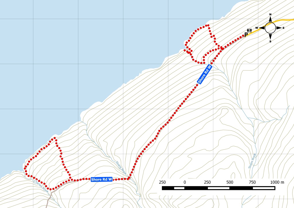
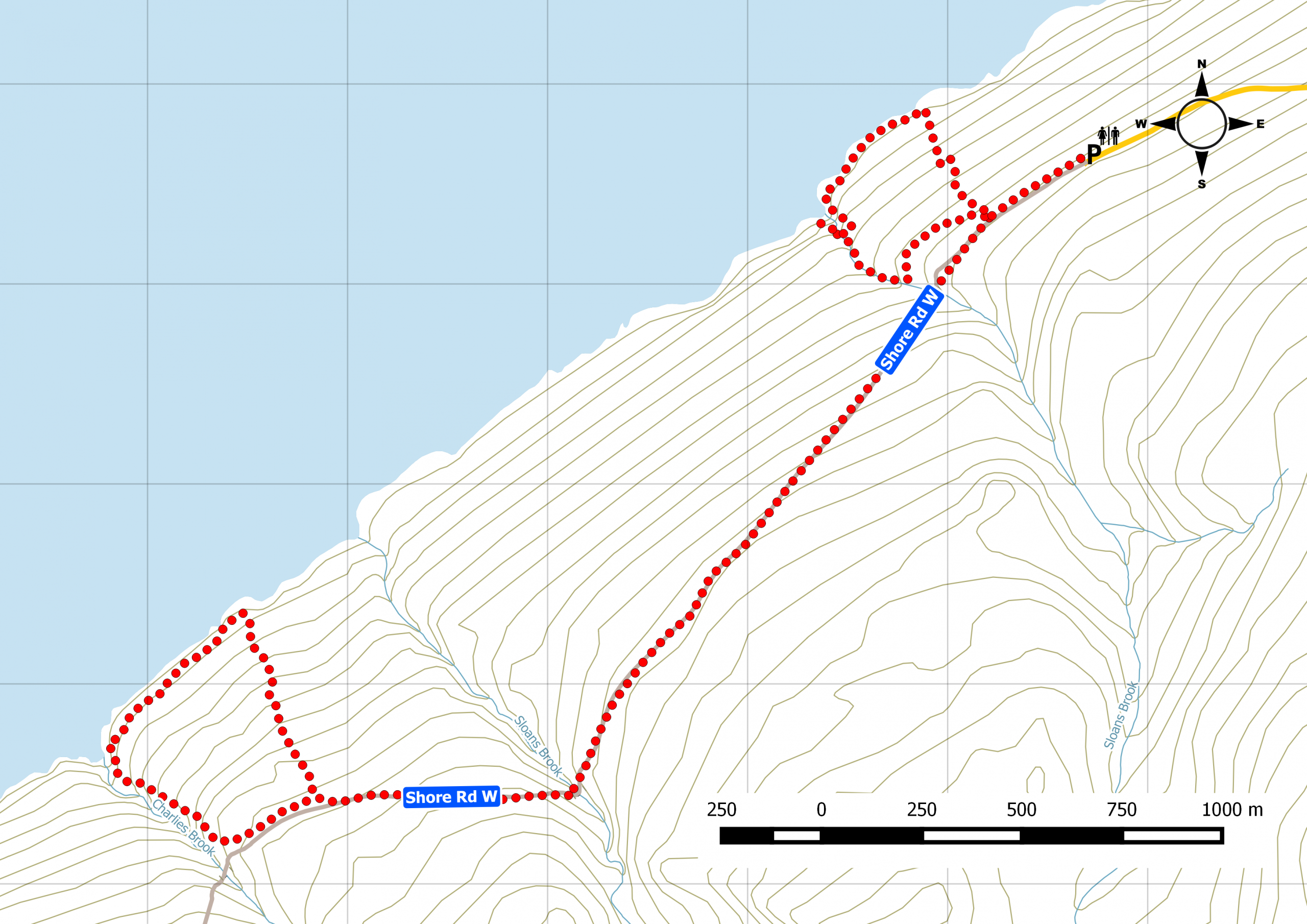
Two short loop trails connected by an old government road.
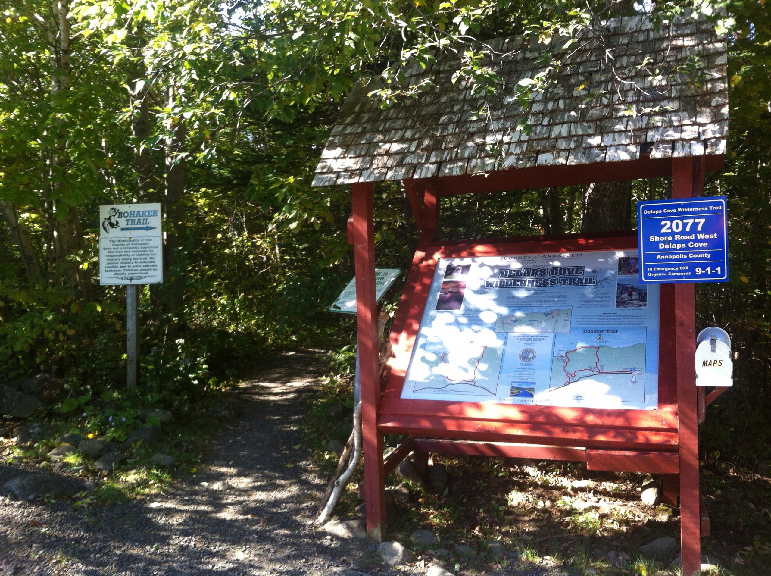
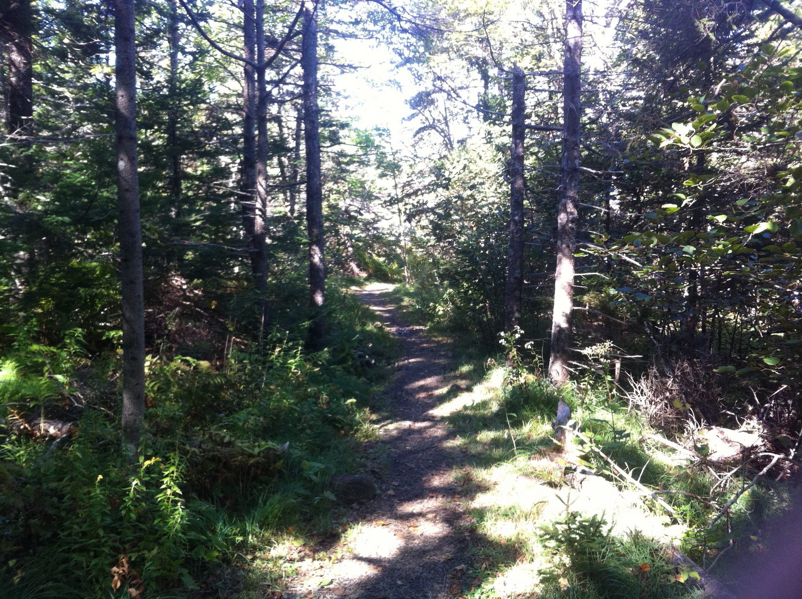
At the parking lot and trailhead, the Delaps Cove Wilderness Trail starts with the Bohaker trail and a nice waterfall view from the cove. 2.7 km down an abandoned provincial road, the second short loop, Charlies trail, shows off coastal views and old foundations. These foundations are what’s left of a 19th century Black settlement. Trail conditions vary from groomed to footpath to coastal rock hopping. Some of Charlies trail may be under construction, with sections flagged but not yet defined. Private land surrounds the trails, so stay on the path. And stay sharp during hunting seasons. Watch this trail on YouTube
Trip Summary
Trip Stats
Elevation Profile
Terrain & Pace Summary
A demanding climb with 729 m of elevation gain over 8.9 km (81 m/km). Expect sustained ascent and a real workout.
Easy 3.2 km/h pace — plenty of time to take in the surroundings.
Stops Along the Way
- 16 minMap it
Stops detected where GPS movement paused for 5 minutes or more — likely a viewpoint, snack break, or photo opportunity.
Trails Near This Route
Nearby Trails
Trail Access & Pass Information
- Check your provincial / state OHV registration requirements before riding.
- Verify gate and seasonal-closure status with a local ATV club or land manager.
- Some trail networks require a separate trail pass — confirm with the local OHV association.
Trail Photos
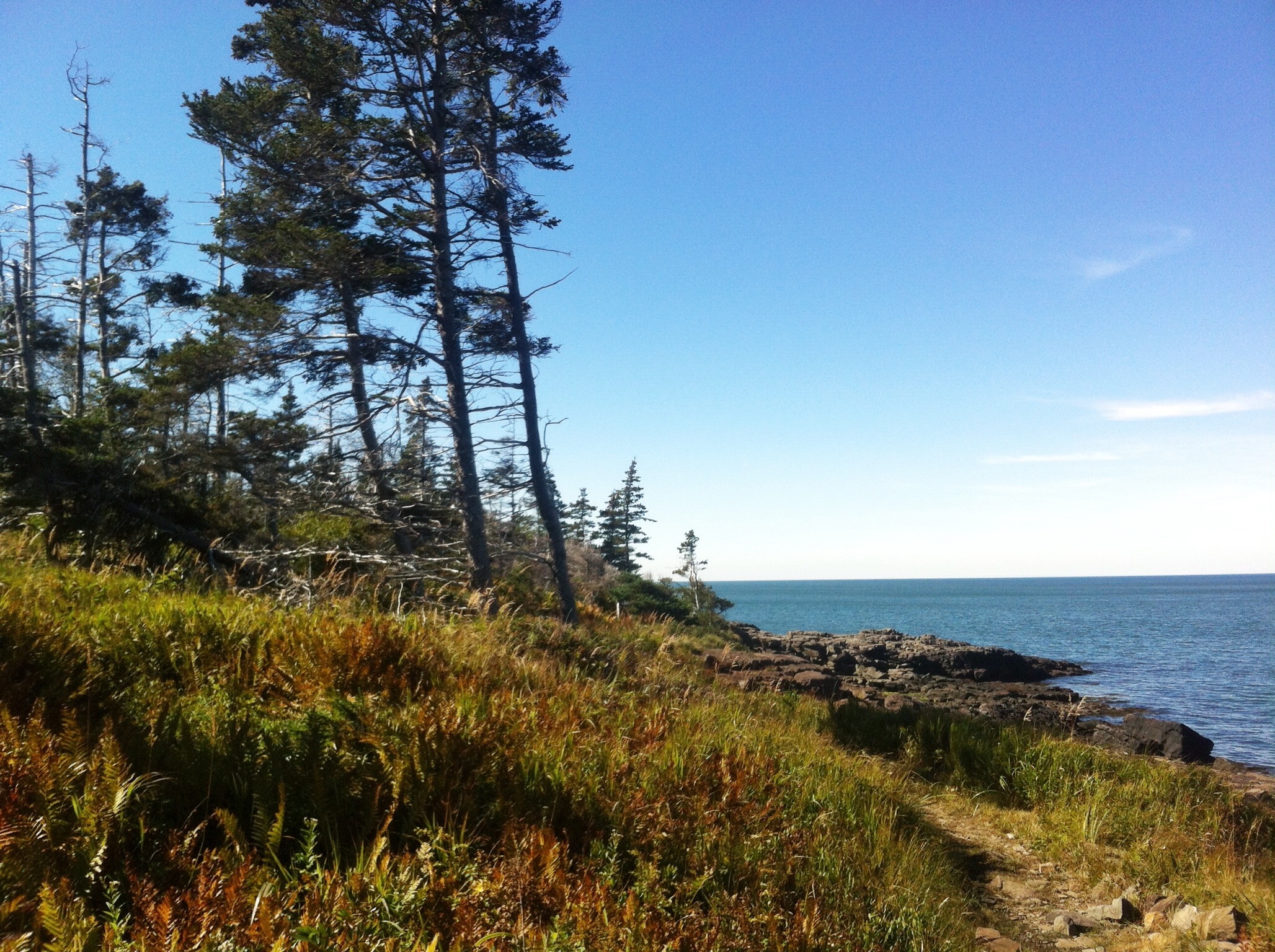
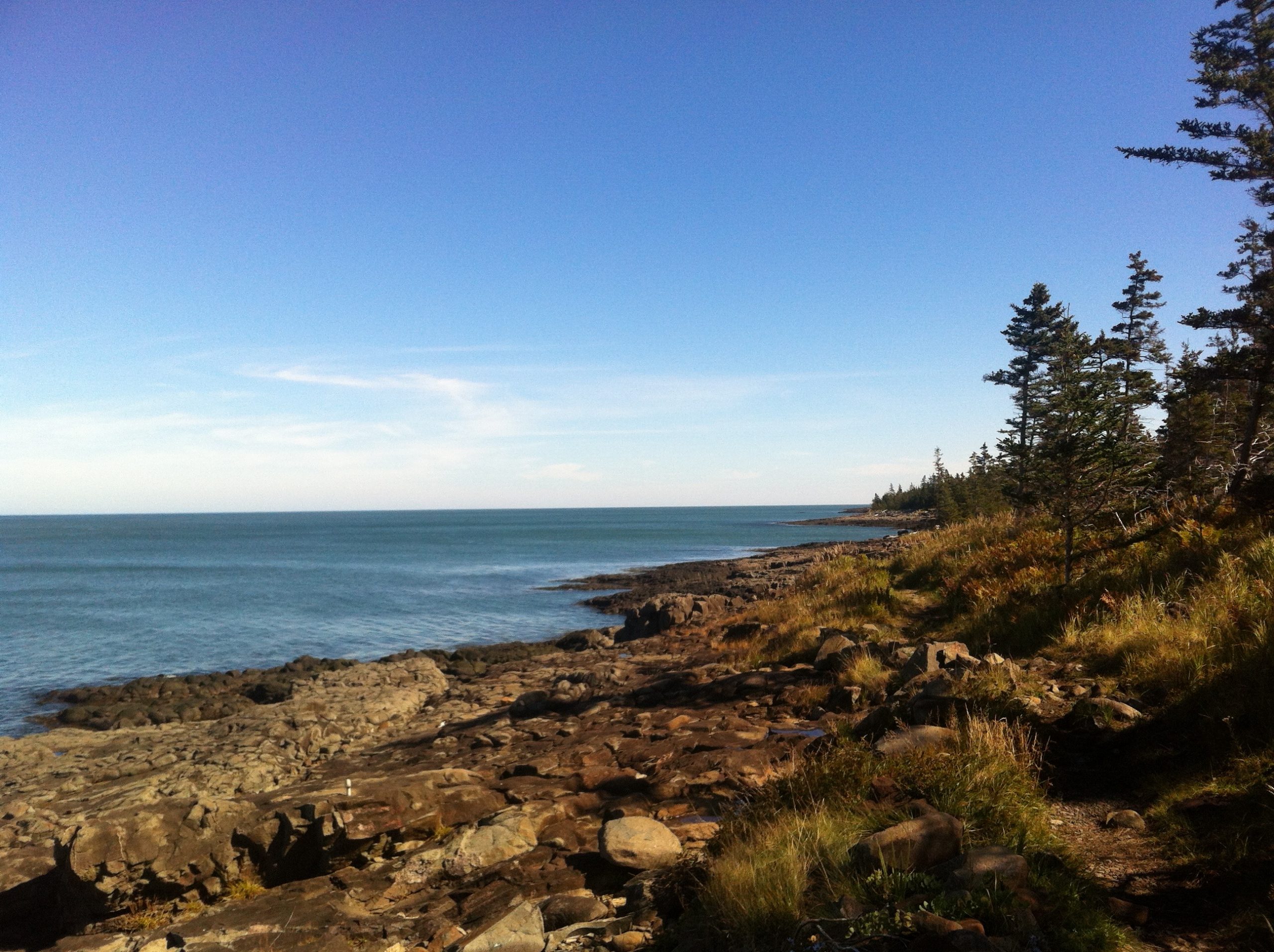
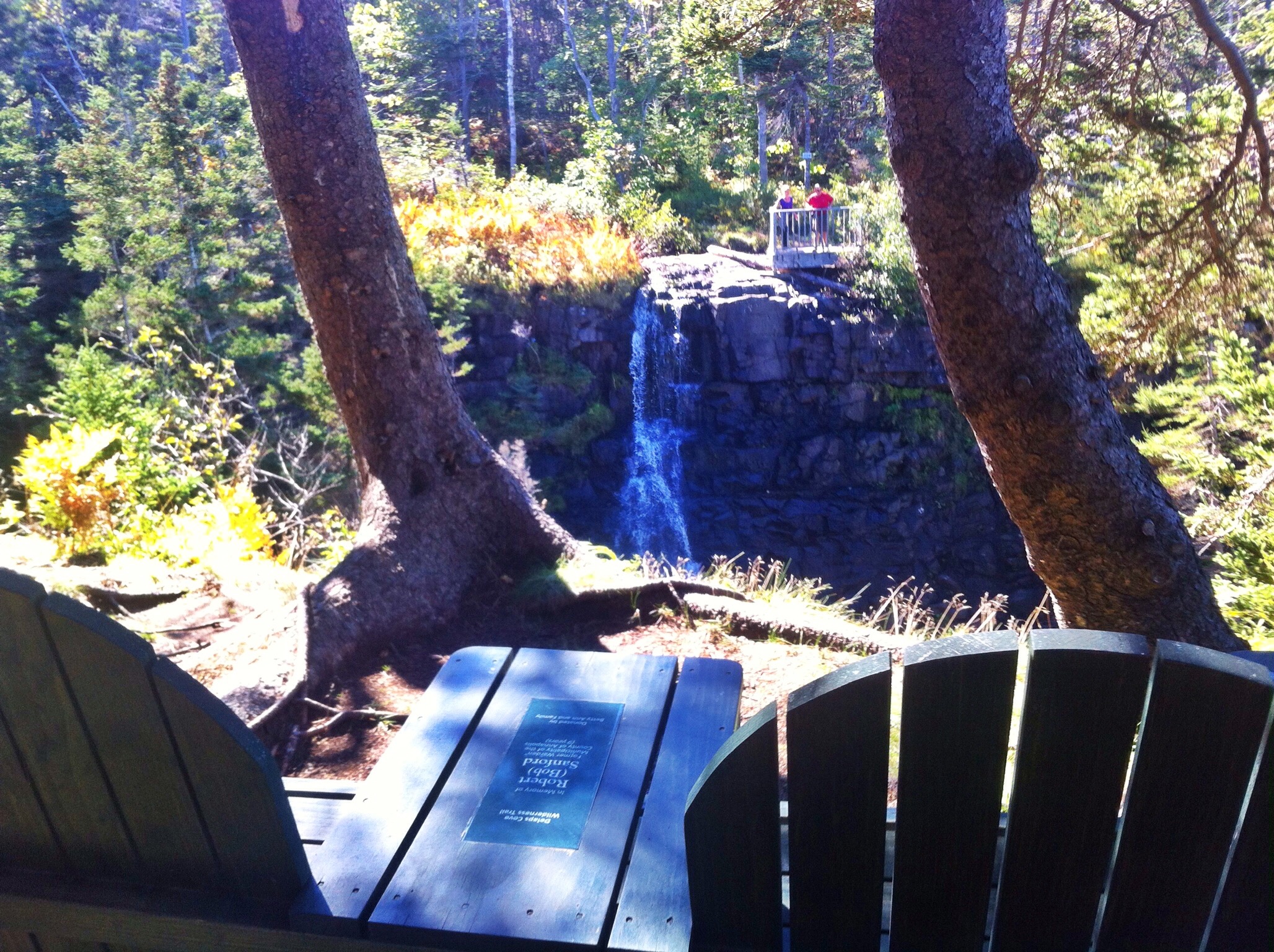
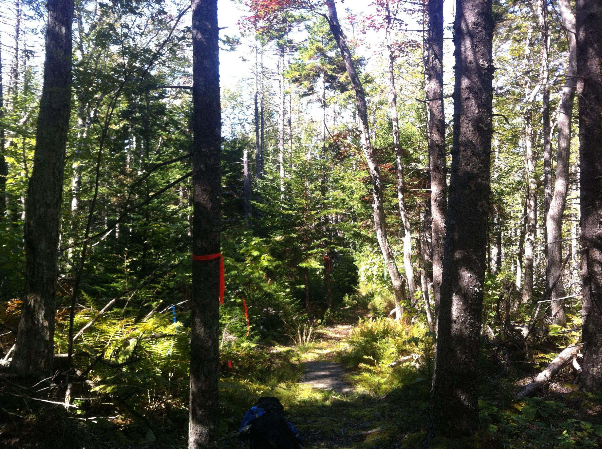
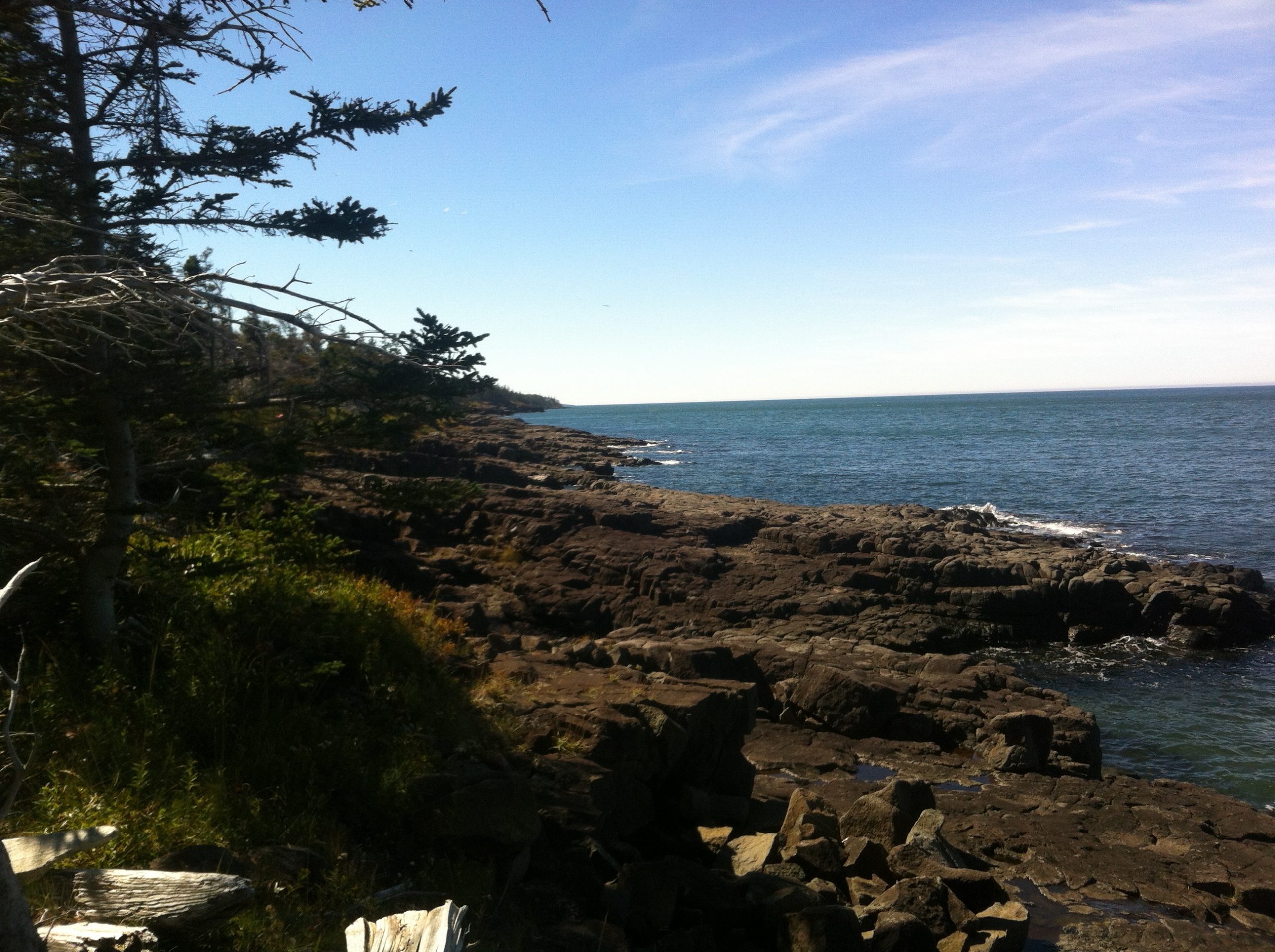
Delaps Cove Wilderness Trail System is located along the shores of the Bay of Fundy near the historic town of Annapolis Royal, Nova Scotia.
There are two short loop trails (Bohaker & Charlies) connected by a 3k old government road, making the overall trip a little over 9km.
Bohaker trail is 2.2 km long and offers a great view of a waterfall at the coast. Adventurous people can use the old frayed rope to descend down to the ocean floor.
Charlies trail is 1.9 km long. What makes this trail interesting as the site was once a settlement of Freed Blacks. Some say they settled here around the time of the American Revolution. This trail is still under development, but you can see a number of relics, wood from docks, stone foundation, etc…
Expect to not have any cell phone reception in this area. The trailhead offers a parking lot, a few picnic tables and outhouse. Keep pets on leash and an eye on smaller children once you reach the coast. Make note of the tide schedule to visit during low tide.
http://annapoliscounty.ca/community-recreation/parks-trails/415-delaps-cove-wilderness-trail
Recent Trail Notes
Recent trail-related items found during a five-year news and organization scan. Conditions and access can change quickly, so verify details with the park, trail manager, or local association before heading out.
Delaps Cove Wilderness Trail
- 2025-10-11 – Delaps Cove Wilderness Trail named UNESCO Amazing Place – PNI Atlantic News (PNI Atlantic News)