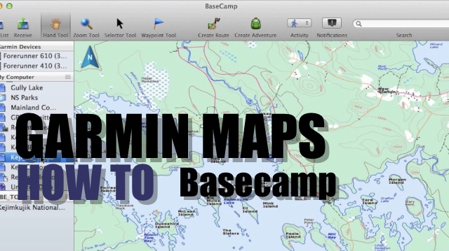
We dive into the kind of maps you can load onto your Garmin GPS device and Basecamp.
There are 2 types of maps: paid vs free.
Paid Maps: You can go and buy the various mapping products from Garmin, including the subscription service called Birdseye Imagery where you can choose between satellite or topo images. Loading these maps onto your device is fairly easy via Basecamp
However for hiking, topo images may be a better option than the satellie simply because they do not provide the detail we’d want. Also depending on your area, you may have low-res satellite images.
Birdseye Topo is much more useful for hiking, but the main disadvantage is not knowing how old these maps are based on your area. Luckily, there is an easier & free method to get the same type of map.
Free Maps: Making a Garmin Custom Map using Google Earth is a good option which can take a few minutes to build. In our example, we’ve used the same data source to grab the latest published topo maps, cut a slice and made the KML file to import into Basecamp
The disadvantage is that Custom Maps are picky and you might have to tweak your KML file to get the results that you want.
The other free option is to simply search for “Free Garmin Maps”. A number of sites like GPSfiledepot.com and others will have repositories with submitted maps. Depending on your area this might be a useful resource.
If you are in Canada, there is the Ibycus Topo product, where the same government data source was used to grab the GIS (shapefiles) data instead of the raster images and produced Garmin maps using free tools. The advantage is that these are vector maps and will behave like the Garmin products like City Navigator or Garmin Topo. Meaning that you can zoom in tight and not have pixel distortion like the Garmin Custom Map or Birdseye Topo.
Another Free option which is to use the Garmin Openstreetmap (http://garmin.openstreetmap.nl/) . This is a free service that compiles garmin maps from openstreetmap.org Depending on your area, the detail might be lacking, however being an open source project, anybody including yourself can contribute to the map in a few clicks.
Installing maps on our device is straight forward, take the img files and frop them into a folder named “Garmin” on your SD card. You can drop the file in the Garmin folder on the device, but there are limitation and you’ll have to rename your file gmapsupp.img
By placing your .img files on a SD card, you can rename them making it easier to manage. Also you can swap the card and insert into Garmin models.