From the Nova Scotia Hiking Trail Guide
- Guide category: Stroller Friendly
- Length: 2 km (return)
- Difficulty: 1A
- Duration: 30 minutes
- Book trailhead: N44 38.043 W63 35.710
 Parking
 Pets on leash / Dog friendly
 Trailhead
 Information
 Bicycle trail
 Strollers
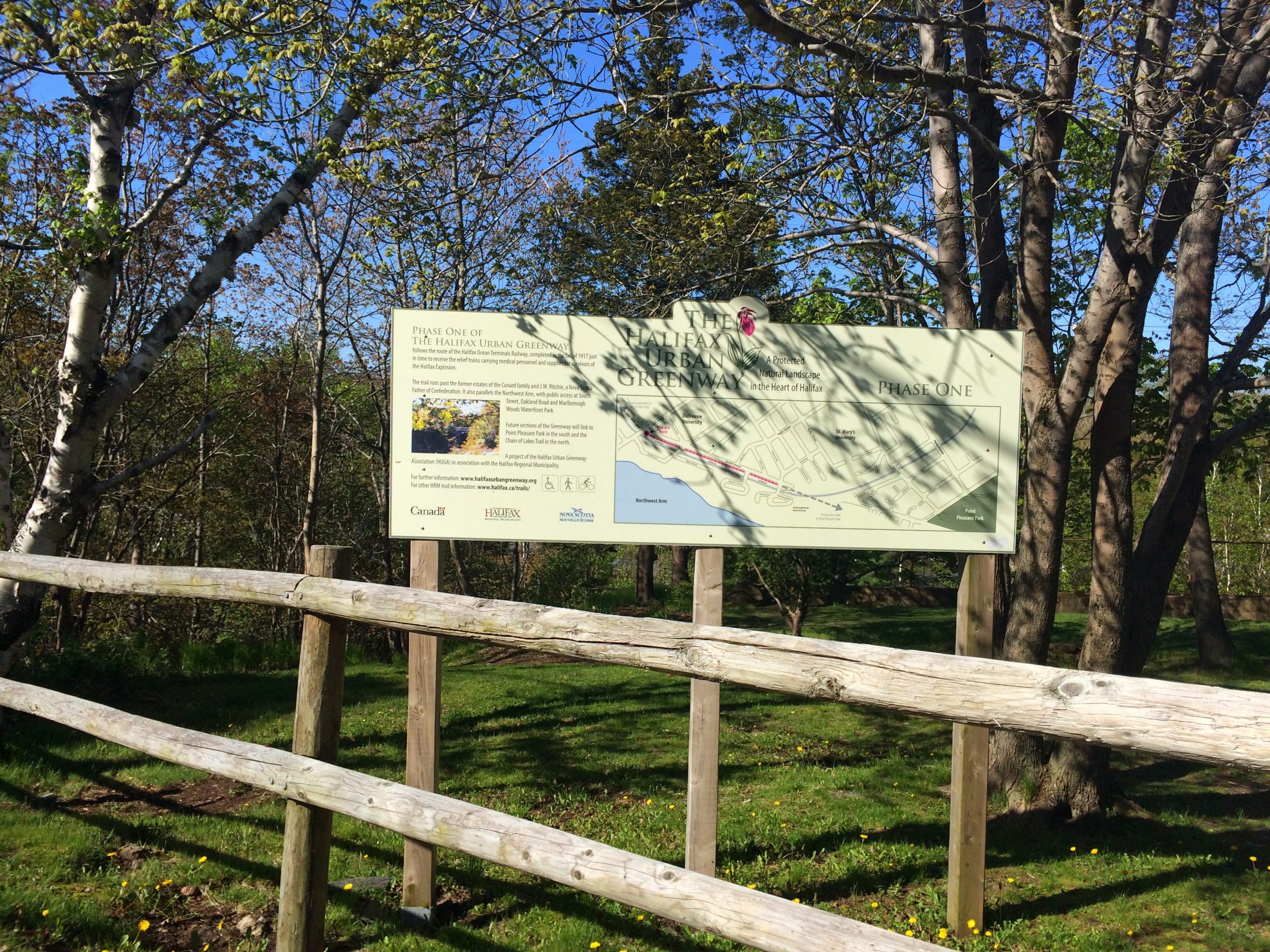
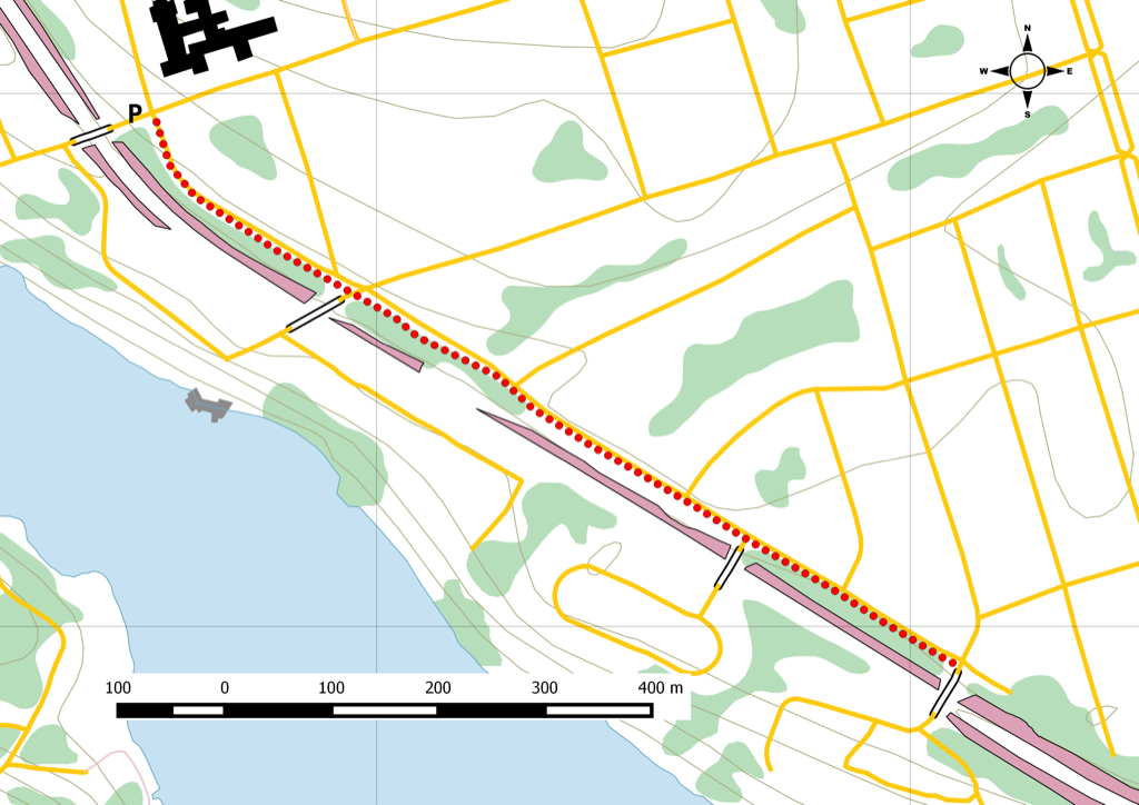
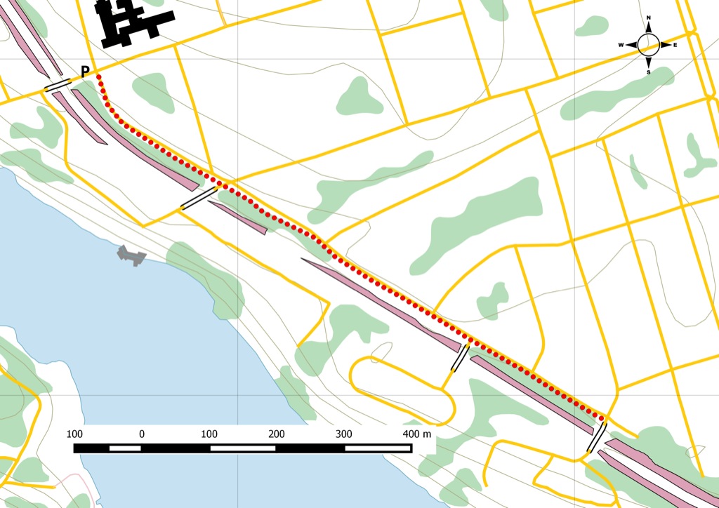
Phase one of an urban greenway to connect to Chain of Lakes trail.
This short segment is part one of a multi-phase project to establish a multi-use trail that follows the CN rail line and connects Point Pleasant Park to Chain of Lakes rails to trails. For transit users, take Bus route 10 .
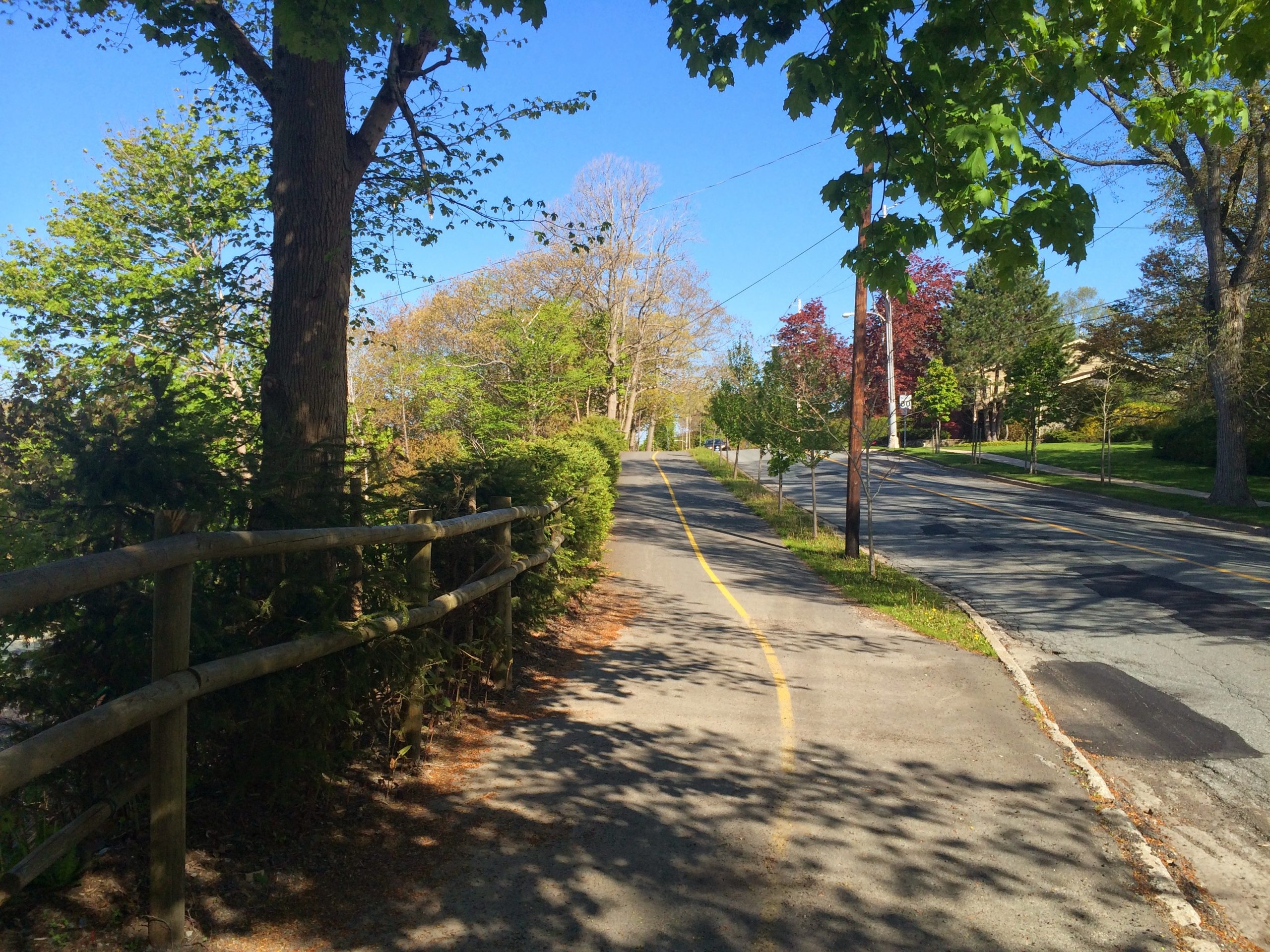
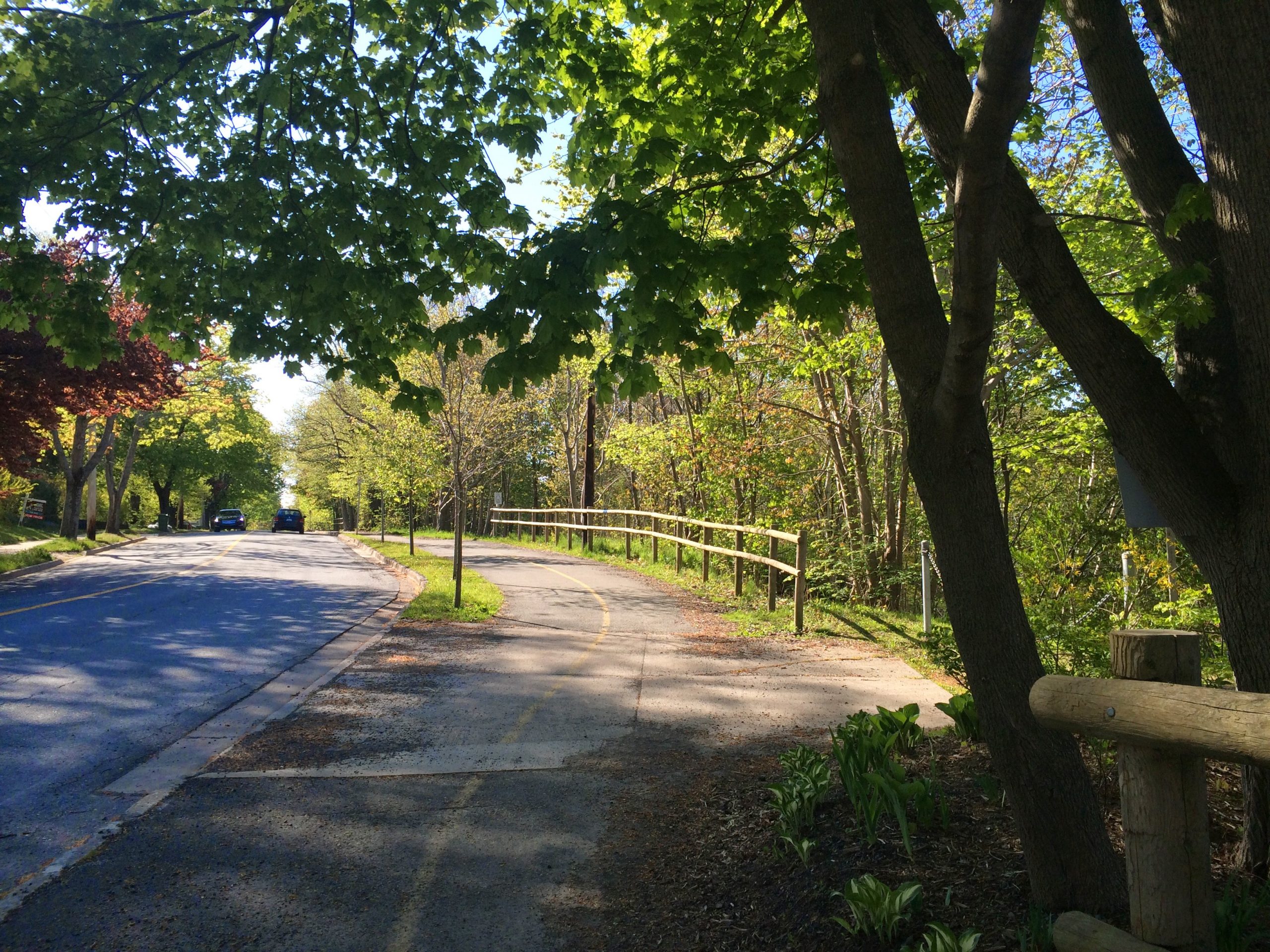
The Halifax Urban Greenway is a paved multi-use trail that follows the Canadian National Railway alignment. Currently in Phase 1, this section runs along Beaufort avenue.
Trail Location
- Starting waypoint: 44.634063, -63.595154 (open map)
- Location source: Trail waypoint from gpx_for_app index
- GPX file: HalifaxUrbanGreenway.gpx
- GPX track name: Halifax Urban Greenway
Recent Trail Notes
Recent trail-related items found during a five-year scan from July 12, 2021 through July 12, 2026. Verify access, closures, and conditions with the park, trail manager, or local association before heading out.
- 2025-09-17 – Committee hears about plan to extend Halifax Urban Greenway, build active transportation to Point Pleasant Park – Halifax Examiner (Halifax Examiner)
- 2025-08-04 – 3 urban Halifax trails where the city disappears – haligonia.ca (haligonia.ca)
Trip Summary
Trip Stats
Elevation Profile
Terrain & Pace Summary
Easy going with only 10 m of elevation gain (10 m/km) — suitable for most fitness levels.
Moving at 6.3 km/h — a solid trail pace. Good footwear and layering recommended.
Trails Near This Route
Nearby Trails
Trail Access & Pass Information
- Check your provincial / state OHV registration requirements before riding.
- Verify gate and seasonal-closure status with a local ATV club or land manager.
- Some trail networks require a separate trail pass — confirm with the local OHV association.
Trail Photos