
Last updated: July 28, 2026. Trail access, park facilities, overnight options and local rules can change. Check the current park, municipality or trail manager before relying on older directions.
From the Nova Scotia Hiking Trail Guide
- Guide category: Walk In The Park
- Length: 2.9 km (return)
- Difficulty: 2C
- Duration: 1 hour
- Book trailhead: N44 39.990 W65 27.690
 Litter Receptacle
 Parking
 Pets on leash / Dog friendly
 Stay on trail
 Trailhead
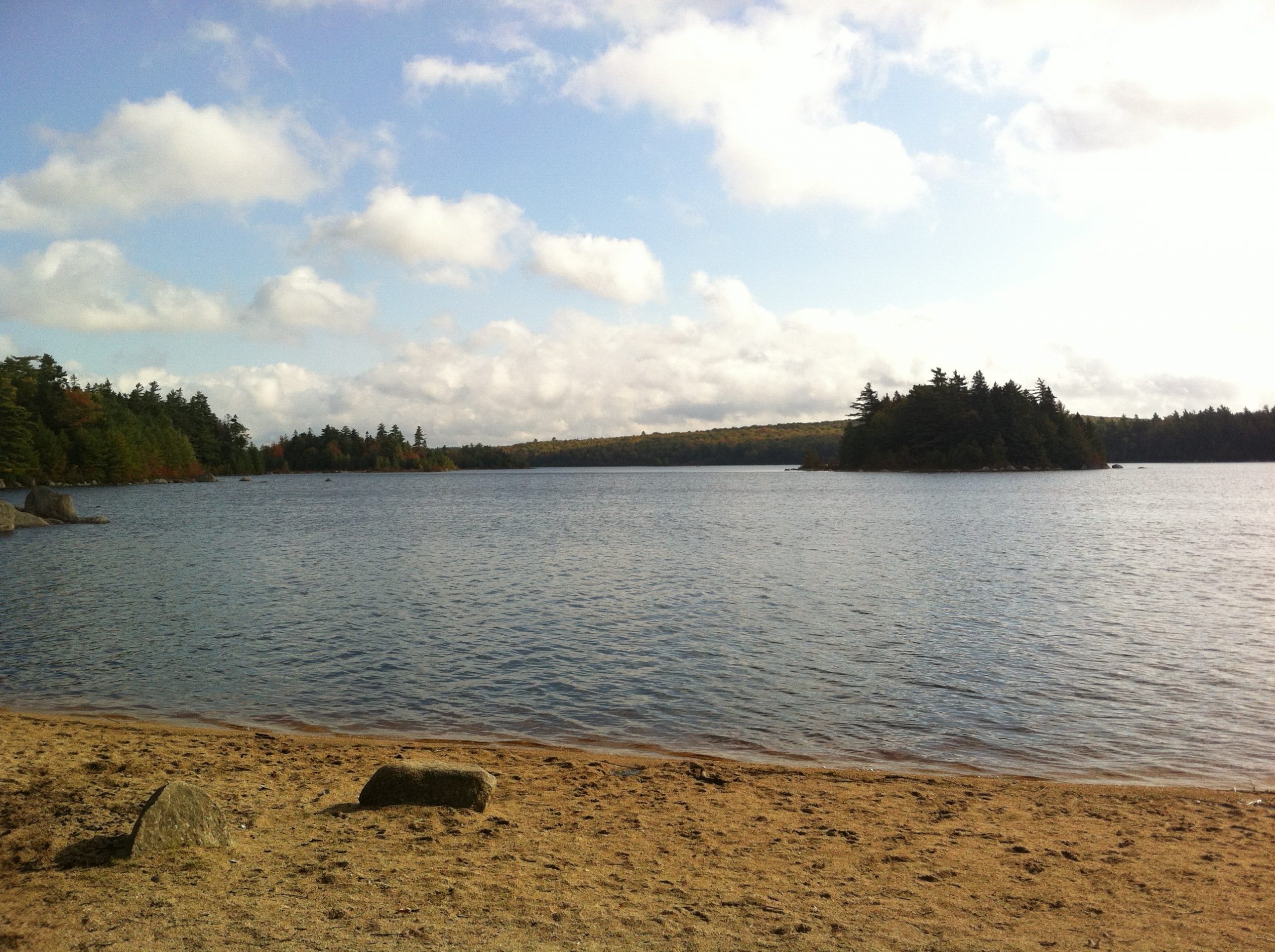
Hidden day use area off route 8, includes a small beach.
Situated between Kejimkujik National Park and Annapolis Royal, this d ay-use provincial park has a beach, picnic area, and a series of short trails. The trails give you an opportunity to stretch your legs and enjoy walking through the woods. Watch this trail on YouTube.
Trip Summary
Trip Stats
Elevation Profile
Terrain & Pace Summary
Easy going with only 56 m of elevation gain (20 m/km) — suitable for most fitness levels.
Easy 2.9 km/h pace — plenty of time to take in the surroundings.
Trails Near This Route
Nearby Trails
Trail Access & Pass Information
- Check your provincial / state OHV registration requirements before riding.
- Verify gate and seasonal-closure status with a local ATV club or land manager.
- Some trail networks require a separate trail pass — confirm with the local OHV association.
Trail Photos
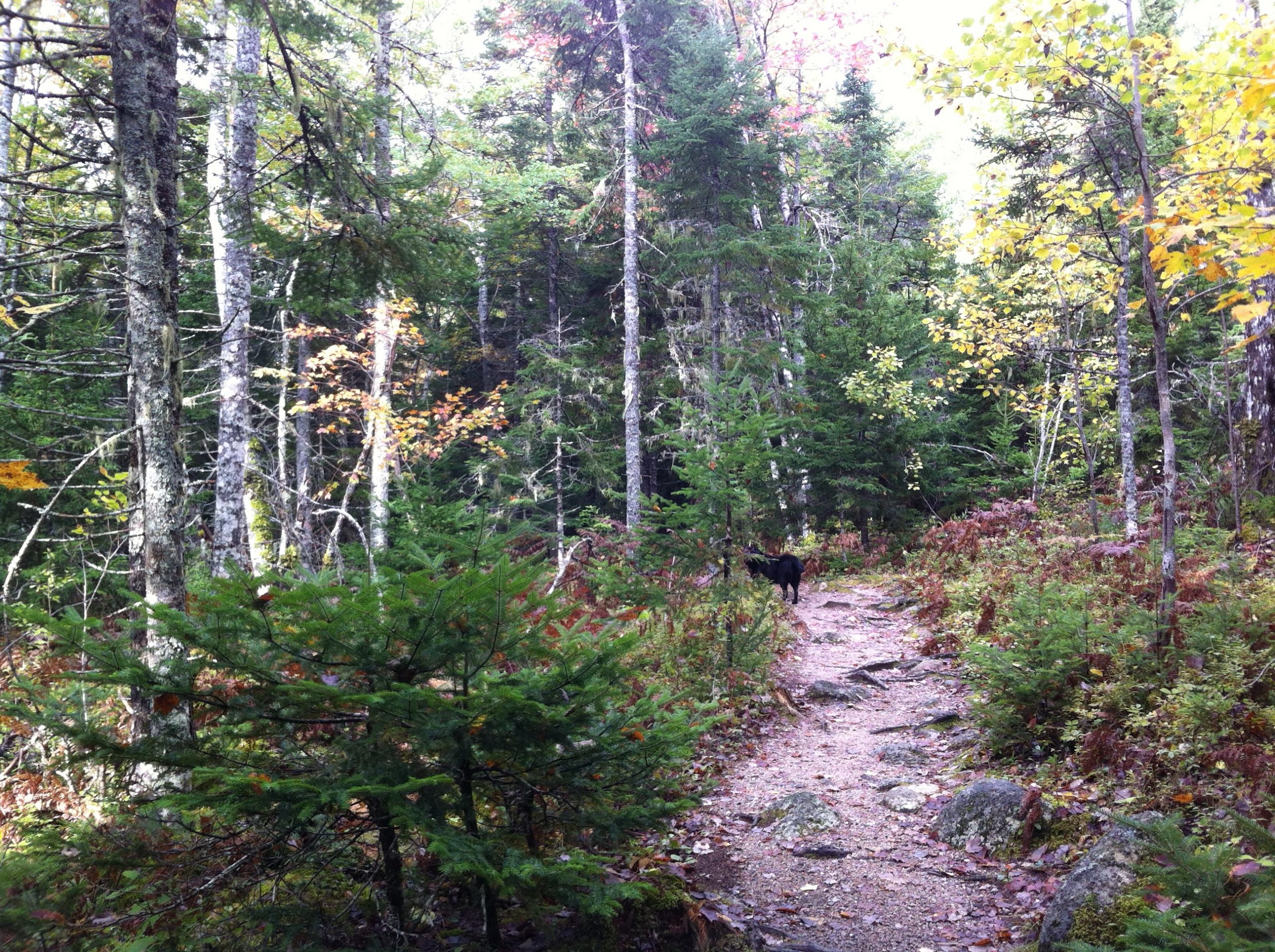
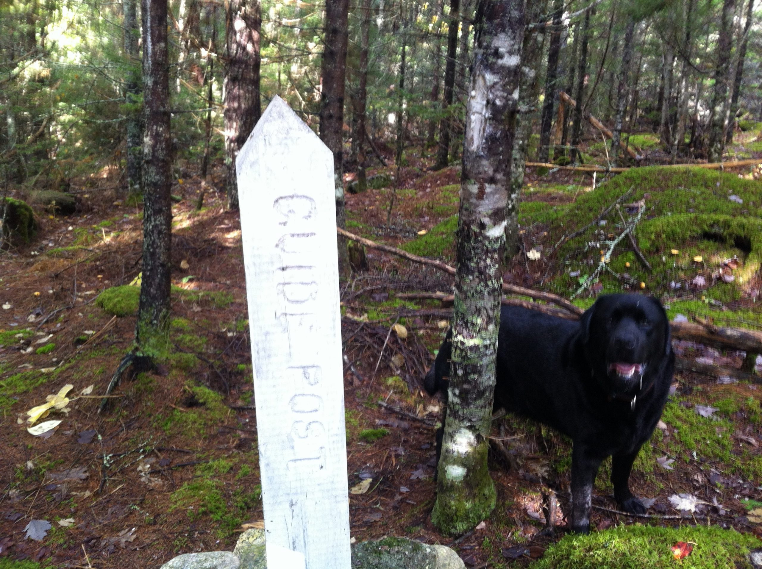
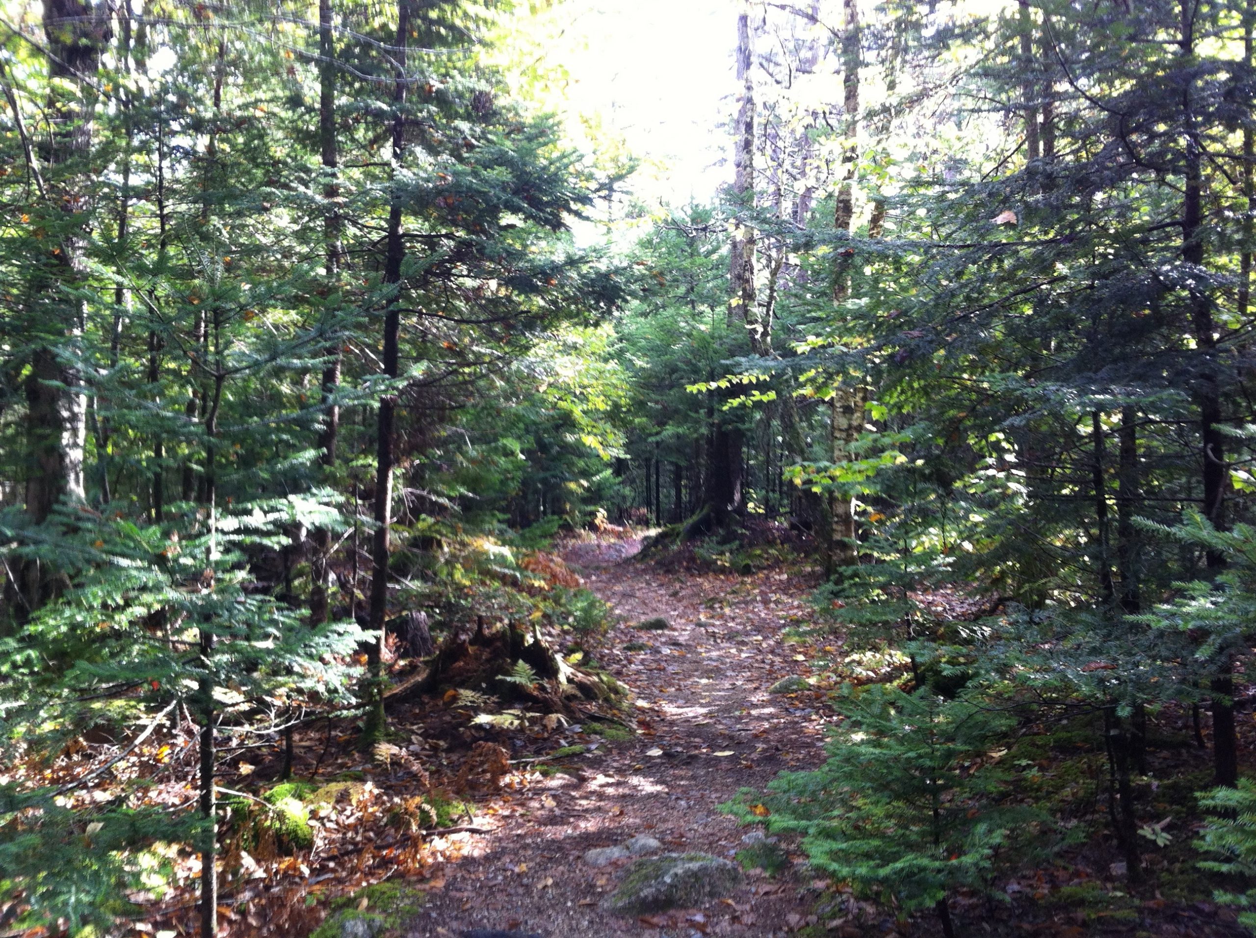
One of the most interesting day use picnic sites around.
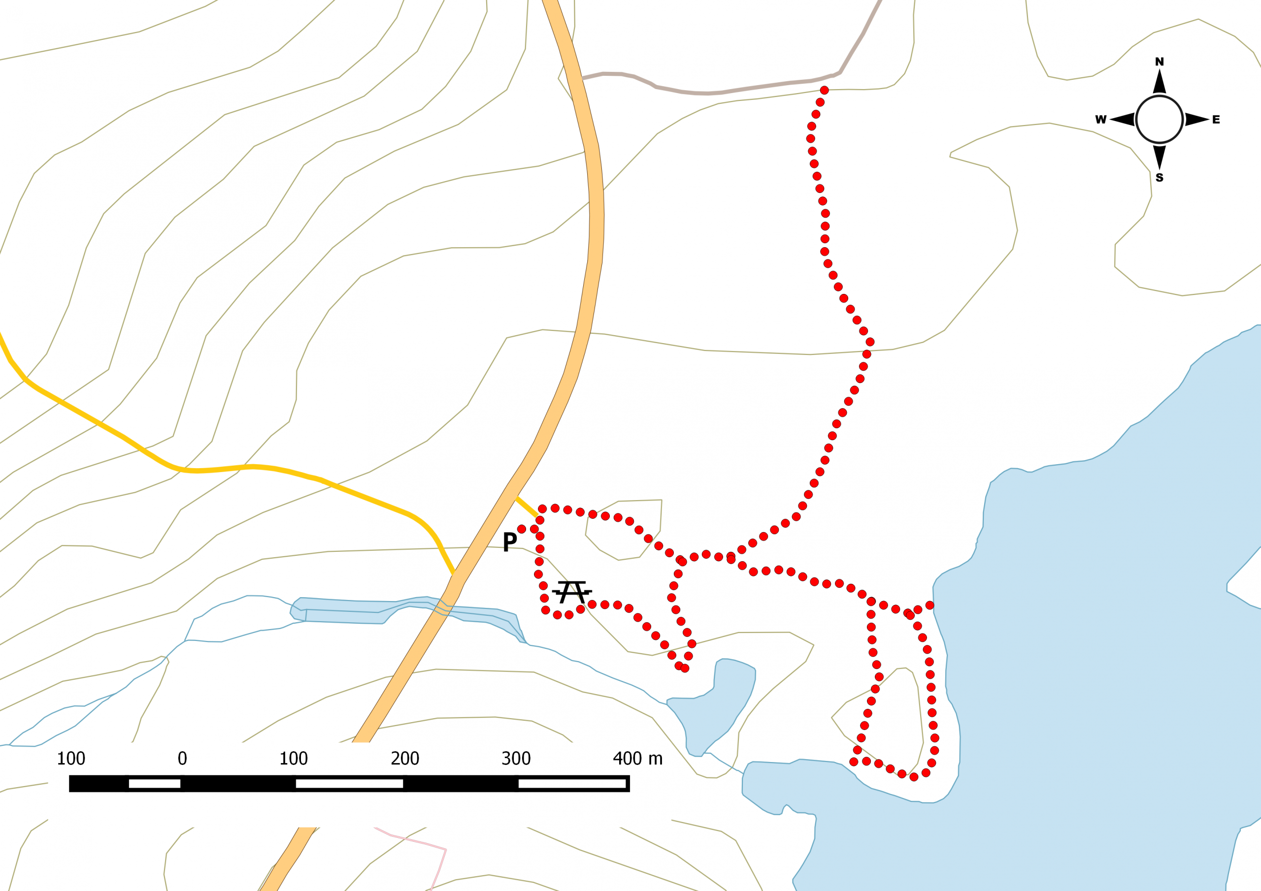
There are three trails that make up this site: Picnic, Beach & Ski. Expect to take about an hour or more to explore and enjoy the wilderness. You will walk past typical Acadian forest to the beach which is a nice change from the granite eractics that litter the landscape.
A number of picnic tables, and benches are available at different locations and the parking lot can accomodate a fair number of cars. An outhouse is available along with a trail map.
You can look at out path and download the trackfile via Garmin Basecamp
- More about the trail
- Nearby accommodation
Music
Keep Your Lamps Trimmed and Burning demo – McDowell (M.RUX RMX)
Maart Roux
Google+