From the Nova Scotia Hiking Trail Guide
- Guide category: Water Trails
- Length: 5.2 km (return)
- Difficulty: 2C
- Duration: 2 hours
- Book trailhead: N45 39.754 W61 49.283
 Parking
 Pets on leash / Dog friendly
 Trailhead
 Information
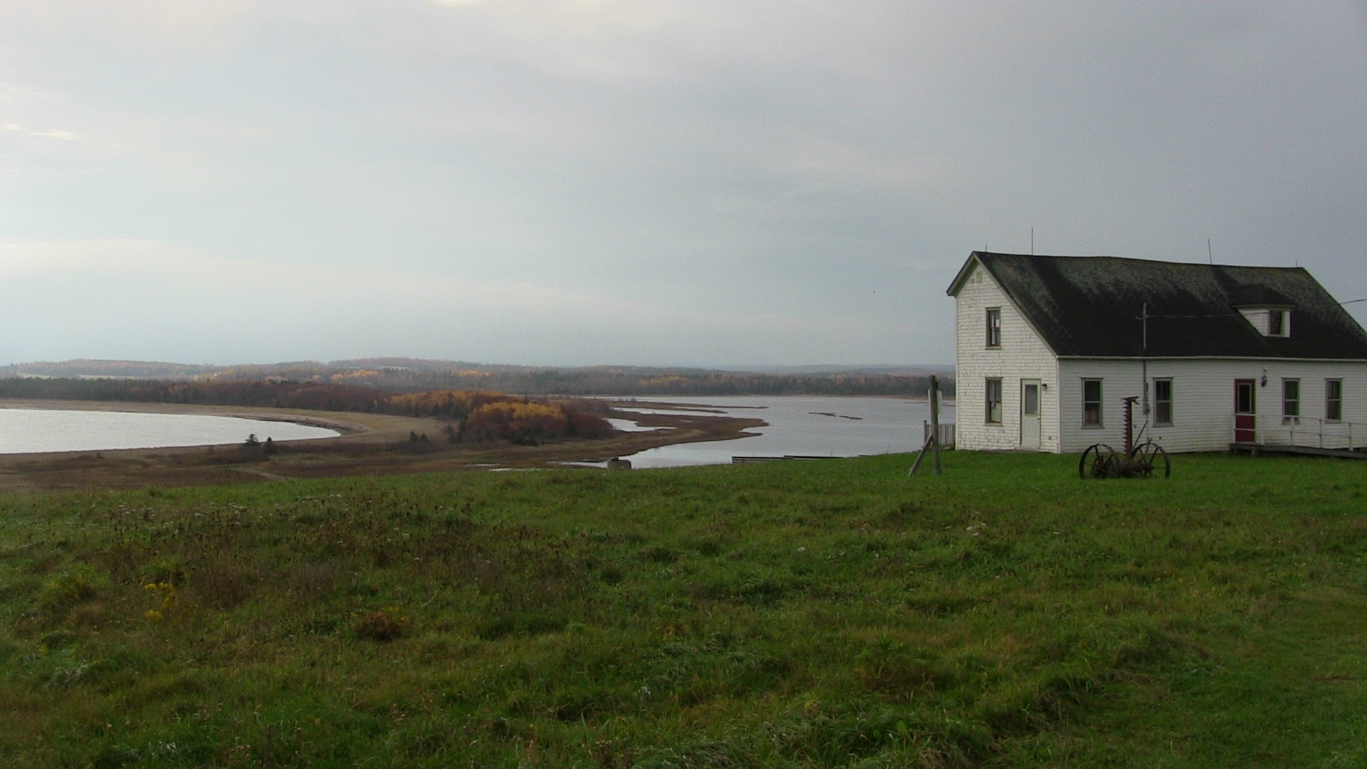
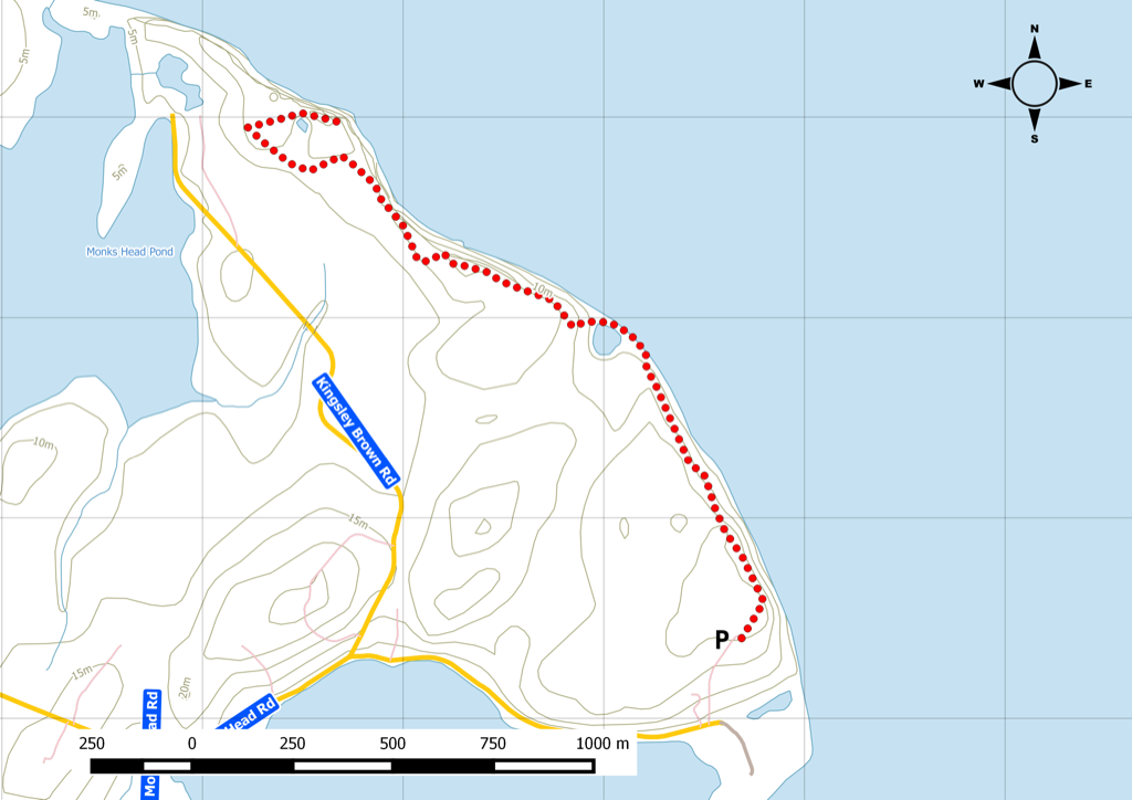
Coastline route behind an old Acadian homestead.
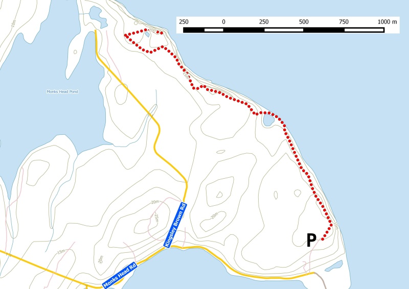
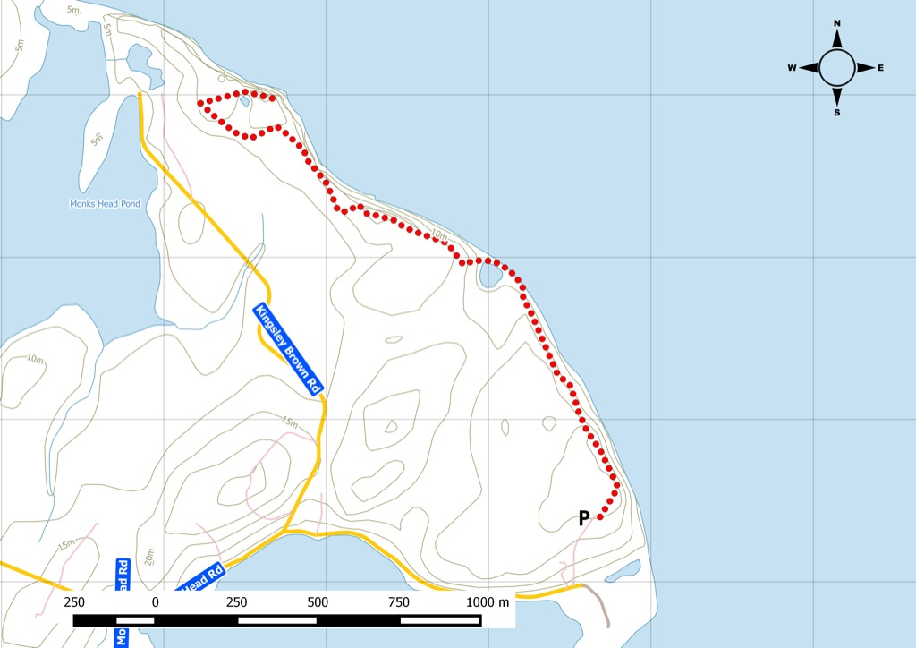
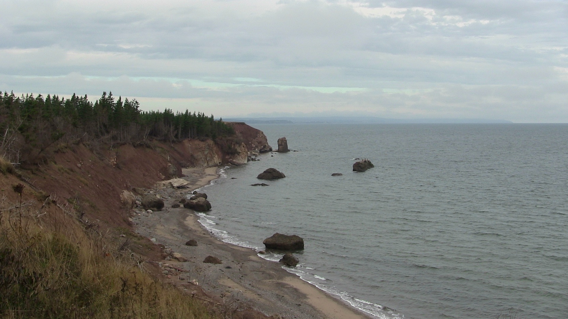
Just beyond Pomquet Provincial Beach, this trail is located at the Chez Deslauriers property at the top of Monk ’ s Head. Part of a stacked loop trail network, the longest trail offers great views all along the coastline of George’s Bay. The receding cliffs are striking. Time your visit with low tide so that you can venture on to the shore. Watch this trail on YouTube.
Trip Summary
Trip Stats
Elevation Profile
Terrain & Pace Summary
Good rolling terrain with 163 m of gain over 5.2 km (31 m/km). Rewarding underfoot without being punishing.
Easy 2.6 km/h pace — plenty of time to take in the surroundings.
Trails Near This Route
Nearby Trails
Trail Access & Pass Information
- Check your provincial / state OHV registration requirements before riding.
- Verify gate and seasonal-closure status with a local ATV club or land manager.
- Some trail networks require a separate trail pass — confirm with the local OHV association.
Trail Photos
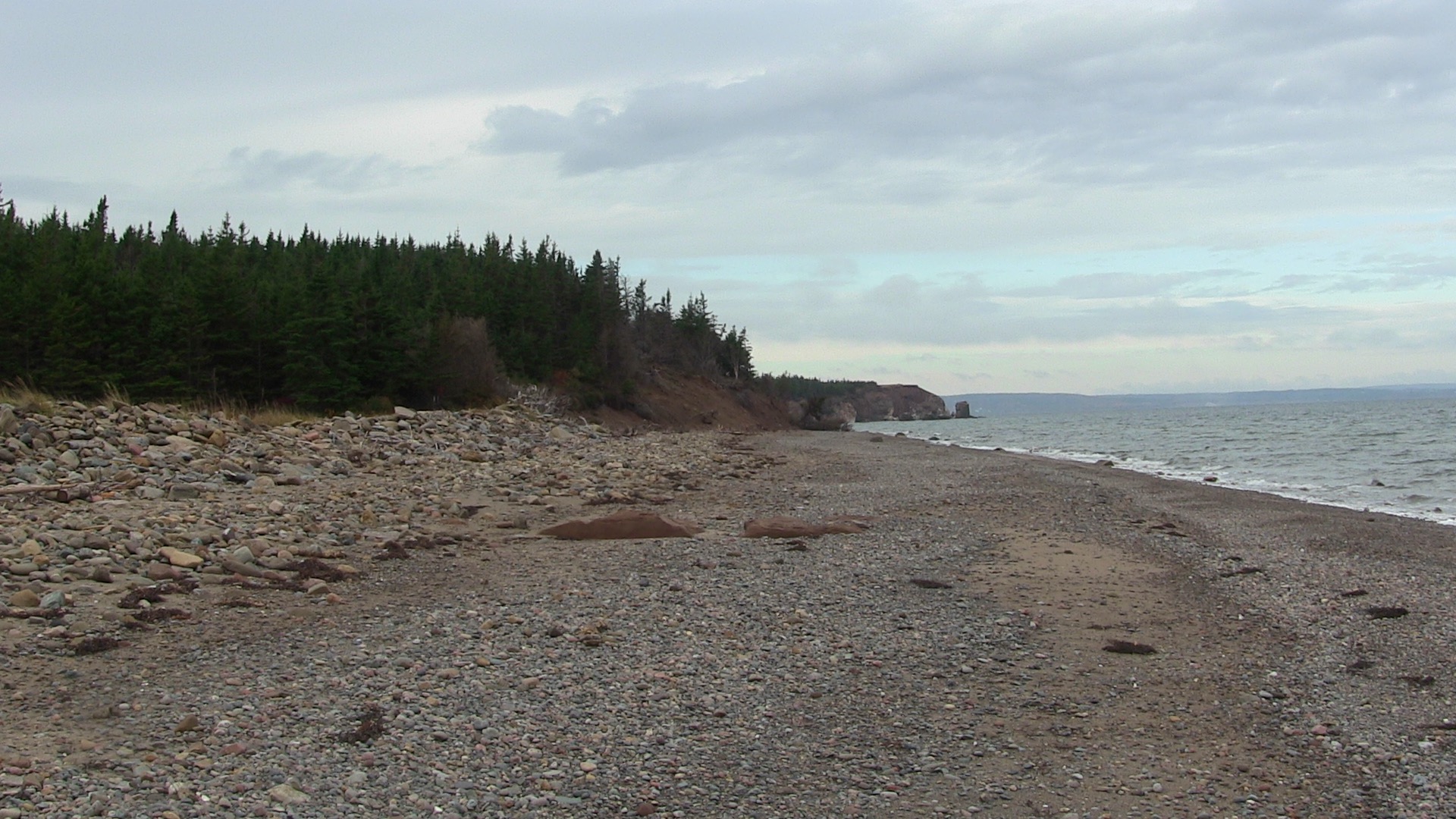
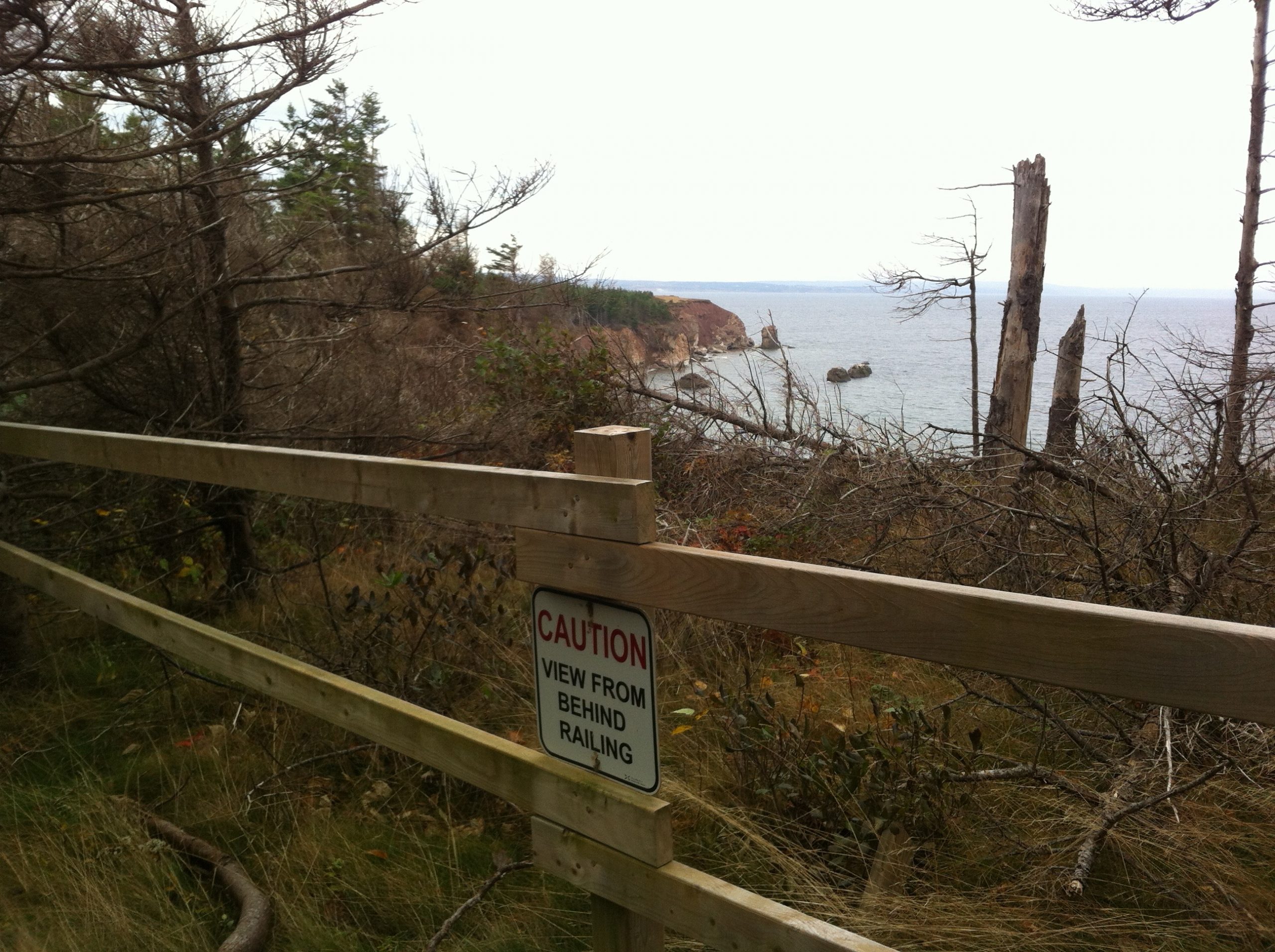
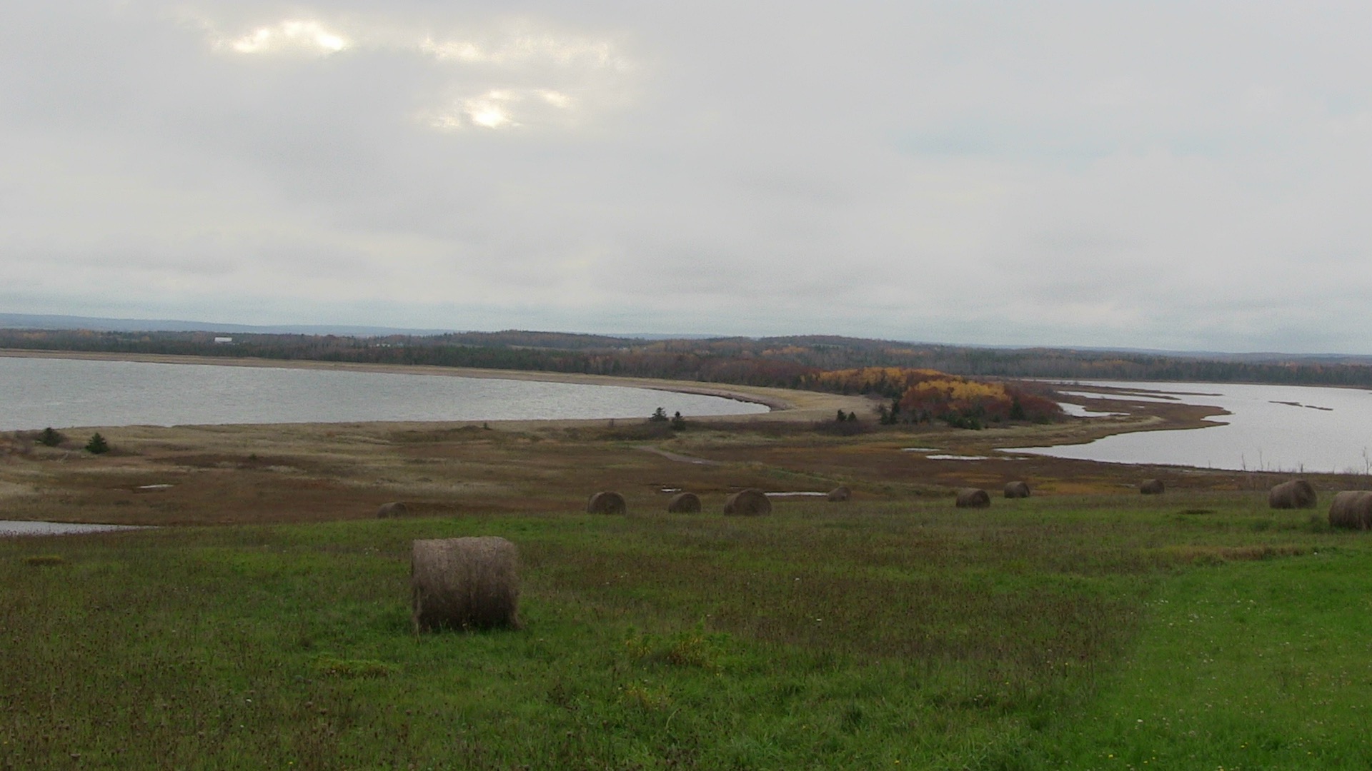
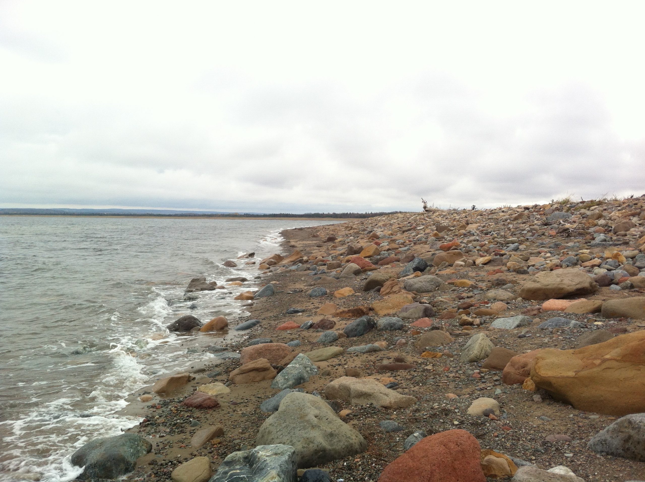
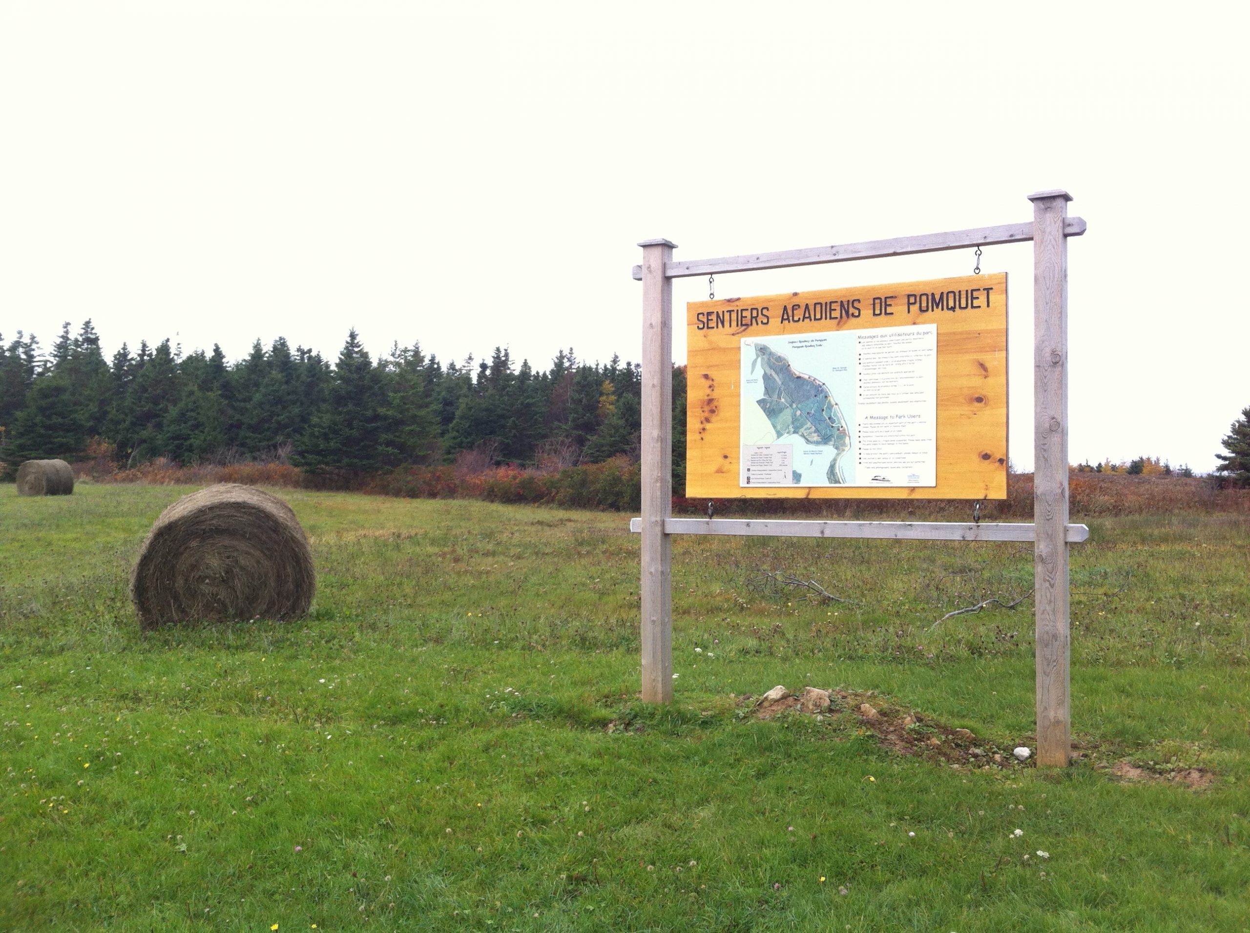
6km of coastal trails around Monk’s Head.
I decided to take the drive up to the Pomquet area, specifically to Monks Head to hike the local trails. We parked the car at Chez Deslauriers and checked out the trail map.The general area was settled by George Monk in 1784, the home that sits on top of the hill was moved to its current location sometime after the 1860’s.
Since then the area has become a source of local development by the local community which includes tea room, interpretive centre and outdoor stage.

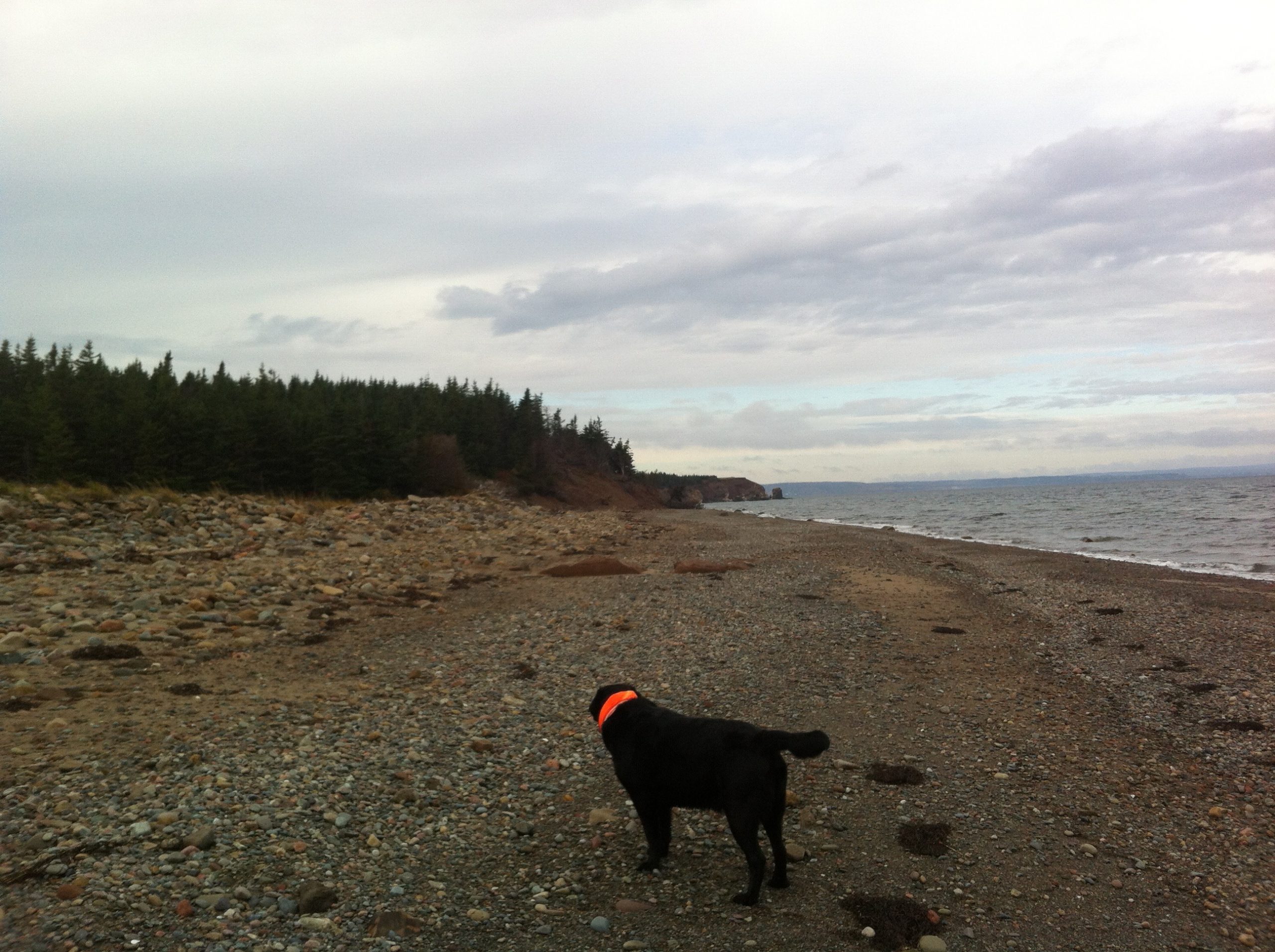
But today I arrived with my partner, Keji the black lab, to focus on the trail on this late November day.
6km of coastal trails are part of adventure, you can add several more if you consider the adjacent Pomquet Provincial Beach Park.
The trail system, developed in 2005 offers a linear and a couple loop trail around Chez Deslauriers, which is within the Monks Head Provincial Park Reserve. We decided to do the linear trail to check out the coastal views.
We start out walking across the open fields from Chez Deslauriers and start going downhill to the main trailhead. We pass through a softwood forest until we hit the Barachois pond and the water. Nearby cranberry bushes offer a nice contrast to the coastline.
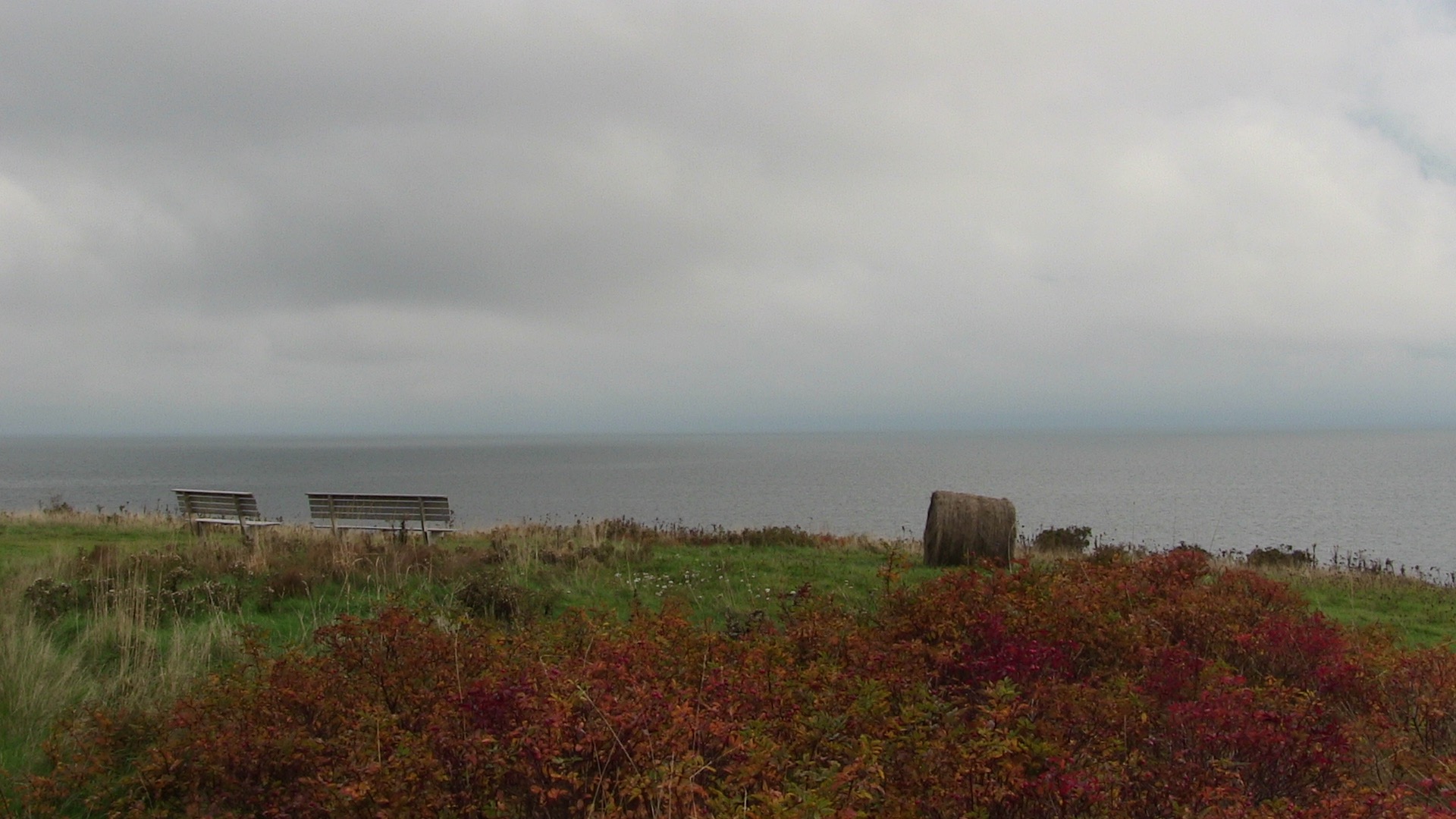
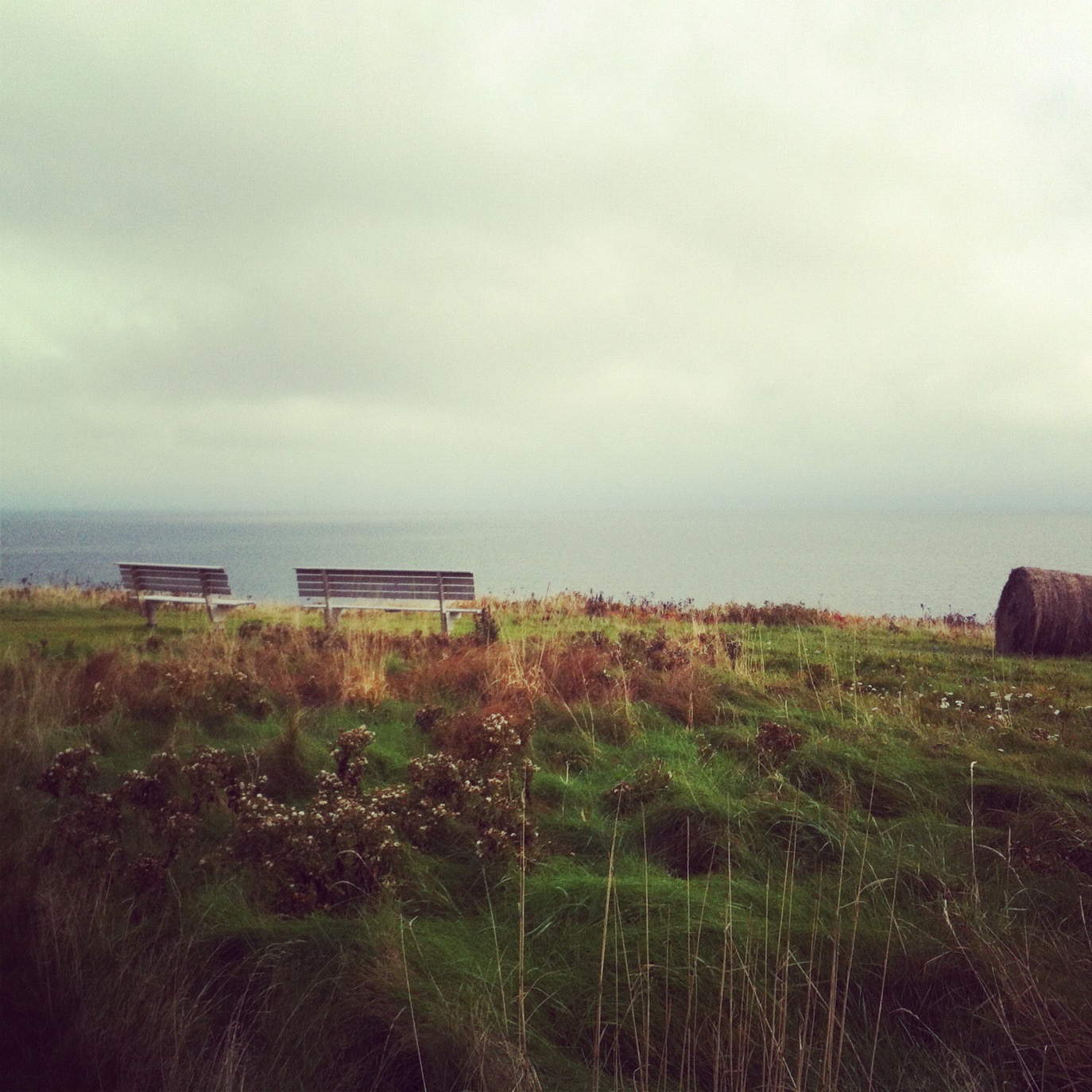
The trail passes fairly close to the cliff to a few viewpoints. We encountered a few benches which would make a great spot for a quick bite to eat.
Not a lot of wildlife tracks, deer and smaller animals were noted.
Check out my trackfile by viewing it via Delorme MapShare (Nov 3)
https://share.delorme.com/JimCyr
Load up this adventure onto your Garmin GPS
http://adventures.garmin.com/en-US/by/thecyr/pomquet-acadian-trails-coastal-hike
More about the trails in Monks Head:
http://www.pomquet.net/en/trails.html