Tag: gaiagps
-
Find ATV Trail Access And Difficulty Information On Garmin Tread
How Garmin Tread can help with ATV trail access and difficulty research, plus why official trail access still needs to be verified.
-
Plan An Off-Road ATV Trip With Gaia GPS And Garmin Explore
A refreshed ATV route-planning guide for using Gaia GPS and Garmin Explore, with reminders to verify trail access before riding.
-
How To Use Your Apple Watch And Gaia GPS For Hiking
In this video, I’ll show you how to use the Gaia GPS Apple Watch app to record a hike or outdoor activity. First thing you’ll need to do is to download the GAIA GPS smartphone app on your iPhone and the watch app should automatically download onto your Apple Watch. If it doesn’t simply go…
-
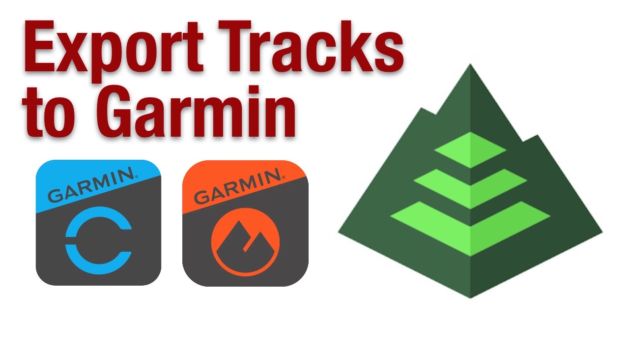
How To Export Gaia GPS Tracks to Garmin
In this video, I’ll show you how you can export a track saved in Gaia GPS and import it to Garmin Connect or Garmin Explore. Here I’m using iOS so this will work on iPhone and IPad, but will also work in Android and on your desktop. Here I’ve recorded a hike using the Gaia…
-
Planning An Urban Hike With Gaia GPS
A great smartphone app for outdoor recreation is Gaia GPS, I tend to use it to record my hiking activities around the urban core or use the downloaded maps when in the backcountry. In this video, I’ll show you some use cases where you can use Gaia GPS with your smartphone while out hiking. Gaia…
-
How To Export & Share GPS Tracks Using Garmin Explore and GaiaGPS
I’ve been slowly trying to get away from the Garmin eco-system for the last few months. For years now, I’ve been adding tracks to my Garmin basecamp collection but as my personal computer usage goes to more portable devices like a smartphone or tablet (all the content you’ve seen from me in 2020 has come…