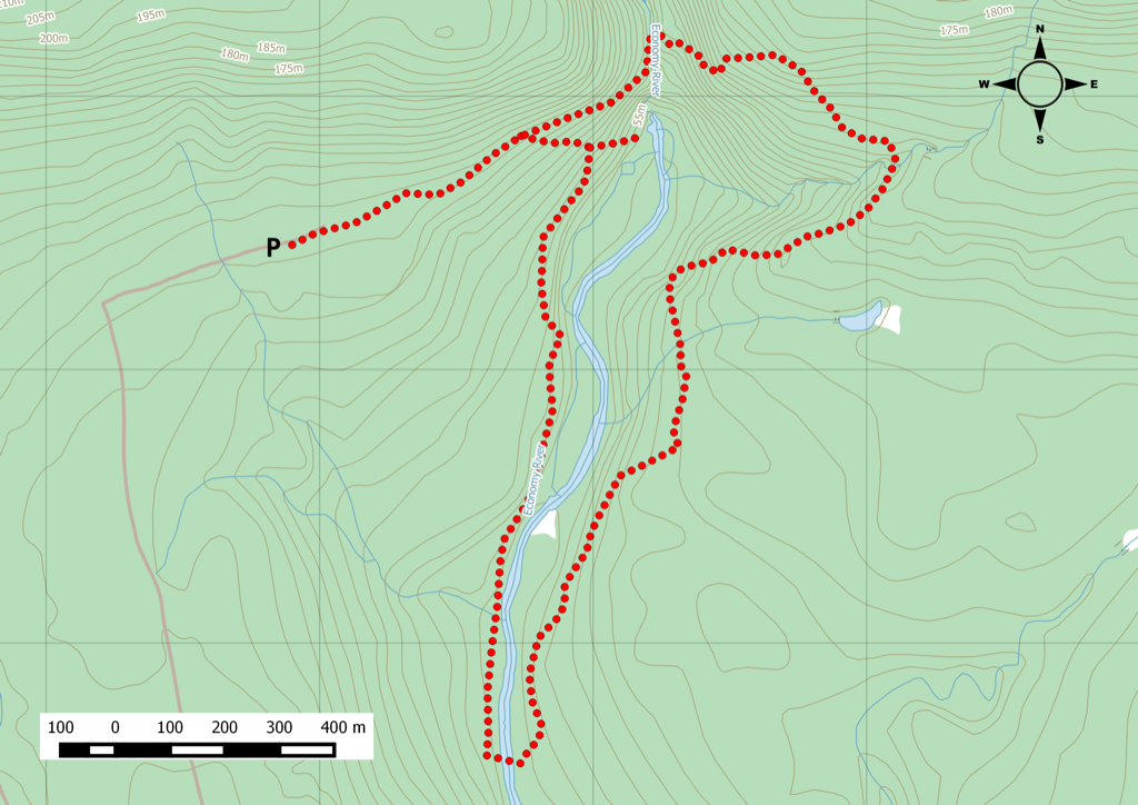
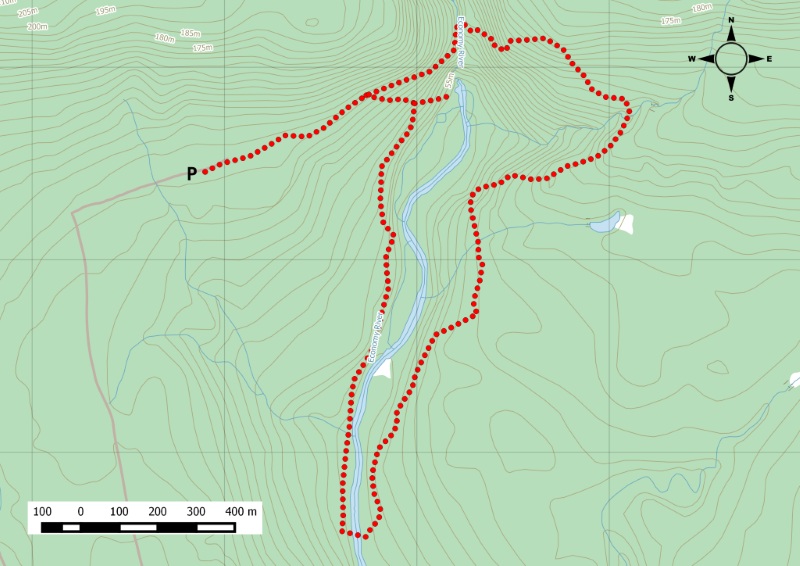
The middle section of the larger Kenomee trail system.
In between the Devil’s Bend and Kenomee Canyon trails is the Cobequid Escarpment trail . This trail has two water crossings: one at the footbridge at the top of Economy Falls, and one downstream where there is no bridge. That’s right, your feet are going to get wet. Bring sandals or some kind of water shoes or extra socks, at least. Starting clockwise, you can tackle the short, tough climb to the falls first, and then make your way more leisurely downhill to the second water crossing. From here, you can jump on to the Devil’s Bend trail to loop around and finish back at Economy Falls. Watch this trail on YouTube. Parking is available at the trailhead.
Trip Summary
Trip Stats
5.3km
Distance
3.3mi
Distance
2h 22m
Total time
2.2km/h
Avg speed (incl. stops)
2.6km/h
Moving speed
411m
Elevation gain
396m
Elevation loss
164m
Highest point
Elevation Profile
Terrain & Pace Summary
Steep Hike
A demanding climb with 411 m of elevation gain over 5.3 km (78 m/km). Expect sustained ascent and a real workout.
Leisurely Walk
Easy 2.6 km/h pace — plenty of time to take in the surroundings.
Stops Along the Way
15 min1h 16m into ride · 51 m elevation · 13:49–13:55 UTCMap it
28 min1h 22m into ride · 50 m elevation · 13:55–14:03 UTCMap it
35 min1h 59m into ride · 65 m elevation · 14:33–14:38 UTCMap it
42378881 min2h 18m into ride · 137 m elevation · 14:52–14:52 UTCMap it
Stops detected where GPS movement paused for 5 minutes or more — likely a viewpoint, snack break, or photo opportunity.
Trails Near This Route
🧭️ Trails from avoidingchores.com within 10 km of the trailhead, sorted nearest first. Distances are straight-line from the trailhead.
5.3 km trail · 0.0 km away
Cobequid Escarpment Trail
Starting from the upper parking lot, 7 kms from Route 2, take the trail head to the right. Take either the trail junction for the Devils Bend or Economy…
A challenging 13km trail along the Economy River finds its way to beautiful Economy Falls, quite the reward for a good backcountry hike. There are lookoffs…
🗺️ The links below open trail maps centred on the trailhead. Always cross-reference with a local club or land manager before riding an unfamiliar trail.
Gaia GPS
Browse trails on Gaia GPS
Opens Gaia GPS topo map centred on the trailhead. Shows recorded routes, public land layers, and trail overlays. Free account required to save routes.
⚠️ Trail pass and gate information changes seasonally.
The notes below are based on publicly available information at time of generation — verify before you go.
Check your provincial / state OHV registration requirements before riding.
Verify gate and seasonal-closure status with a local ATV club or land manager.
Some trail networks require a separate trail pass — confirm with the local OHV association.
Trail Photos
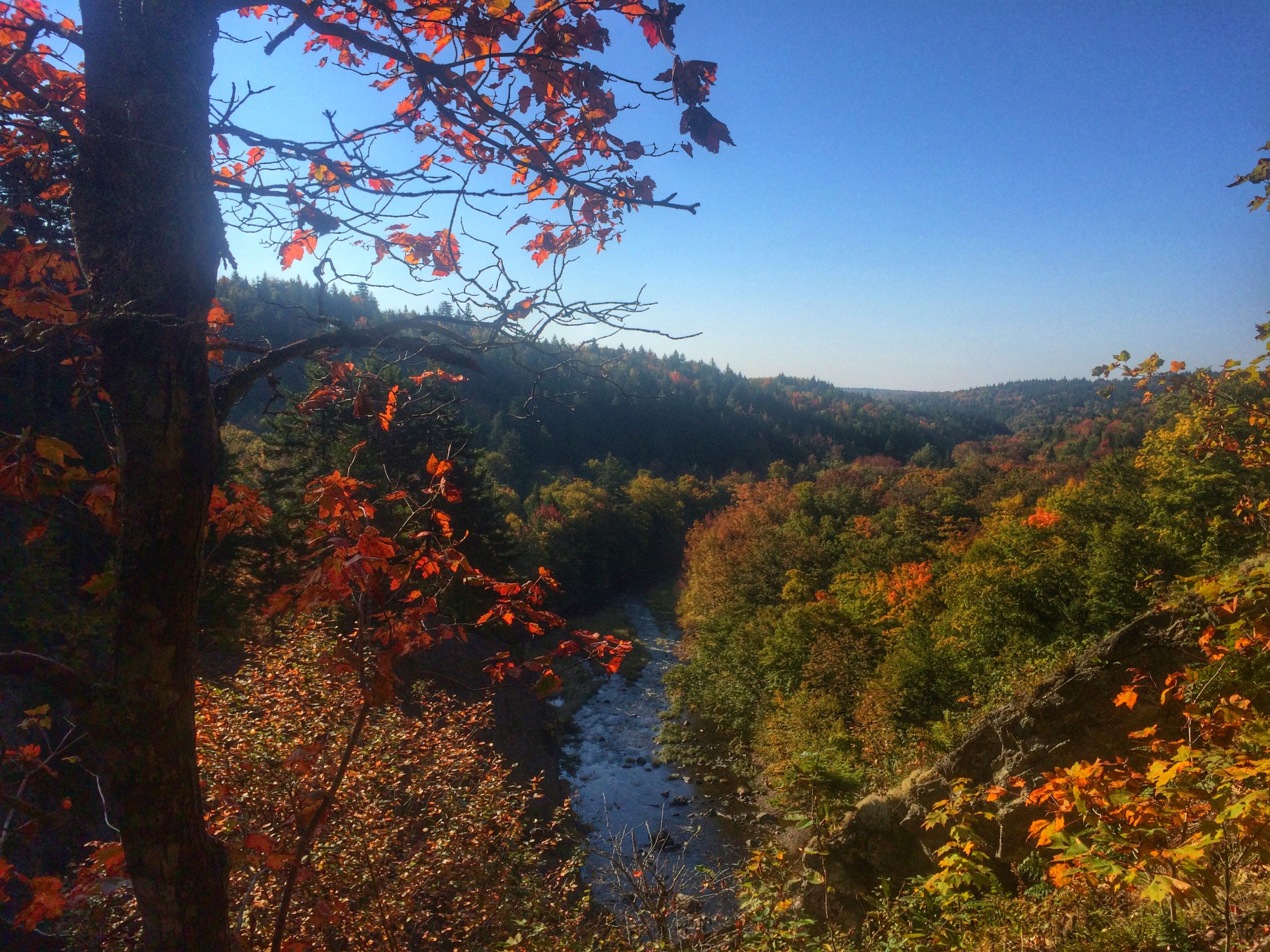
We travelled towards Economy Nova Scotia to do a 6km loop at the start of fall colors season.
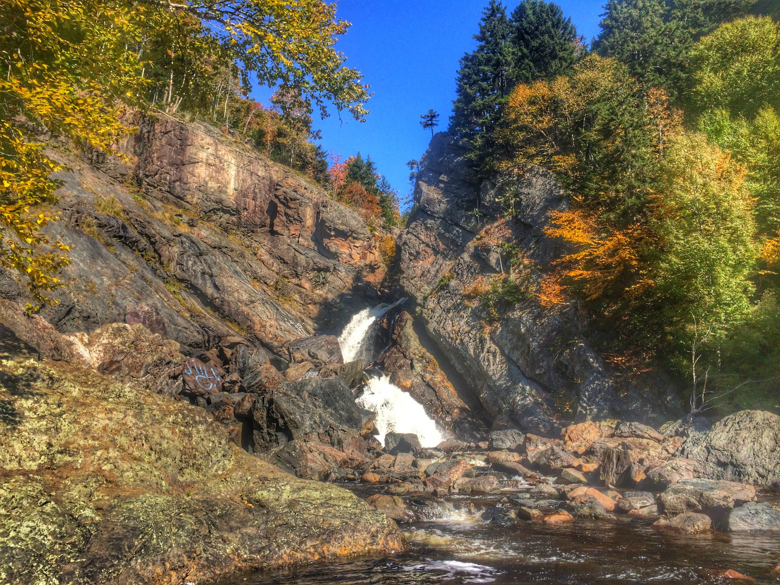
The main trail we wanted to access was called Cobequid Escarpment, but it is a segment amongst the other trails within the system. Many would opt to hike the Kenomee Canyon or along Devil’s Bend trails. The common element is that you get to see Economy Falls.
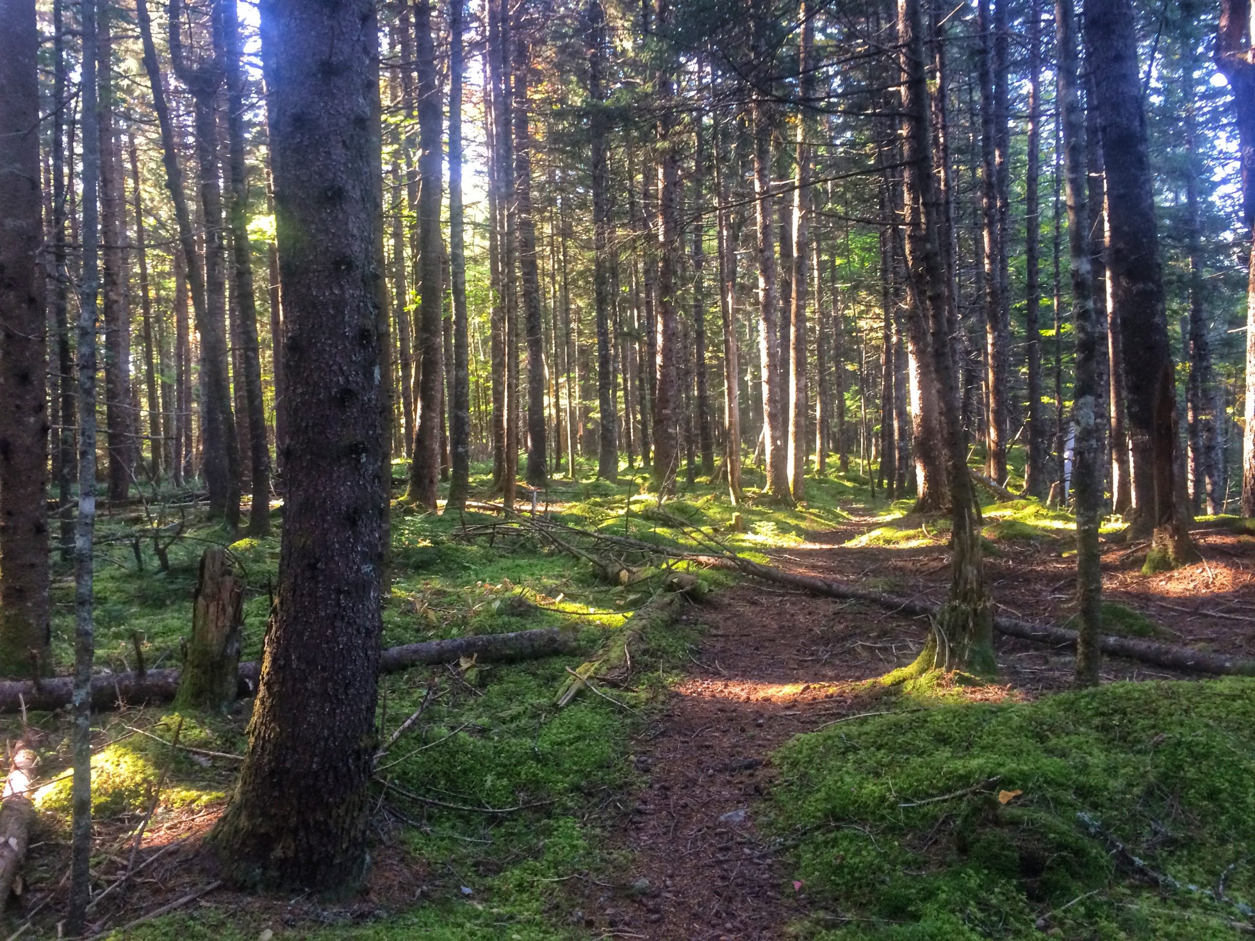
We started out doing the loop clockwise, and crossed the bridge to the other side of the escarpment. The forest was a nice mix of soft & hard woods.
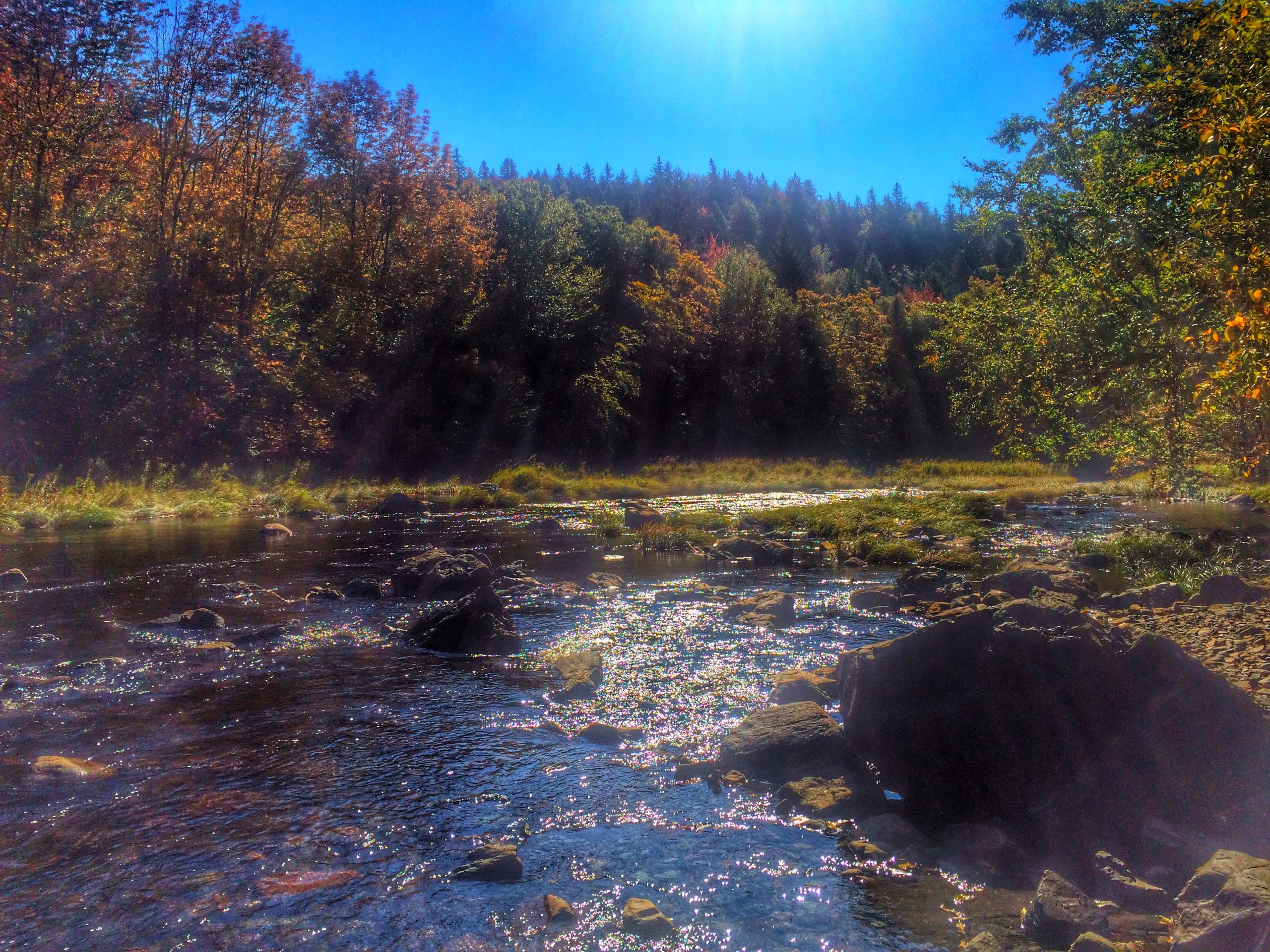
The trail was well marked but sometimes you had to double check to make sure. Like when to cross the river again. There’s no second bridge; you had to get wet in order to get on the Devil’s Bend trail and get back to the upper parking lot.
Usually the river would be low, but we had a large amount of rain a few days before. Great for the falls, but not for the river crossing as the water reached over my knees along the crossing. Cold cold water.
Once my feet dried and my hiking boots were back on, it’s an easy finish to the trail intersection where you can go down, way down to view the falls. Bare in mind that you will have many, many steps to climb, so take your time.
This took about 3 hours to complete, bring a buddy. The terrain is not complex, and don’t forget to bring some sandals to cross the river.
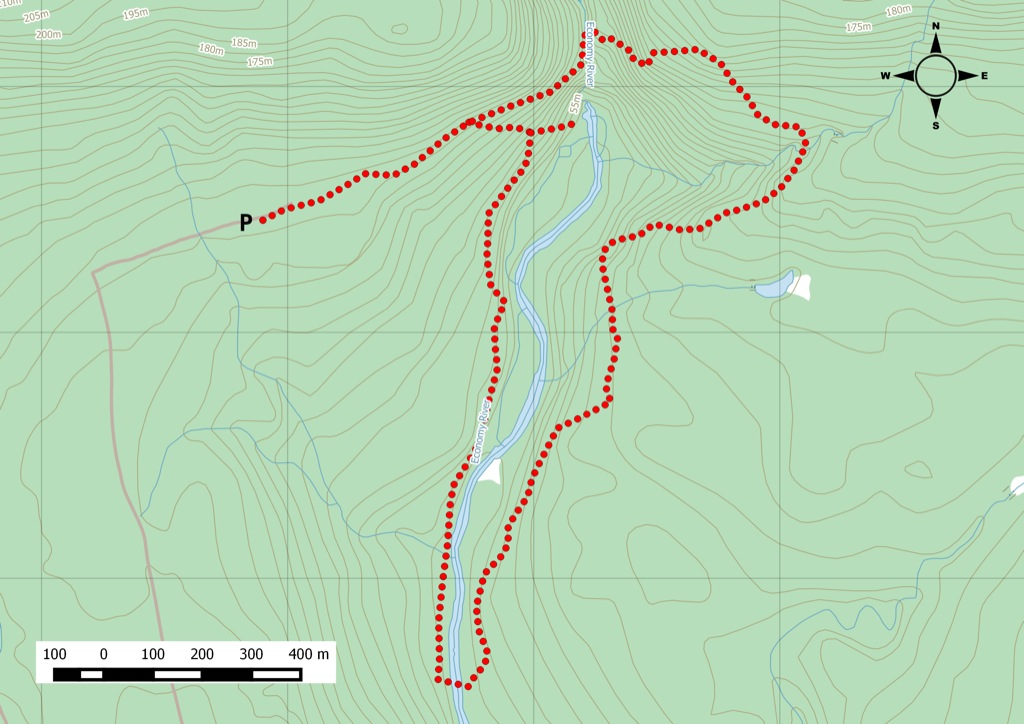
The map for this hike.
Recent Trail Notes
Recent trail-related items found during a five-year news and organization scan. Conditions and access can change quickly, so verify details with the park, trail manager, or local association before heading out.

 Trailhead
 Parking