
Last reviewed: July 14, 2026. ATV trail access, permits, road-trail approvals and closures change. Verify the current route before riding.
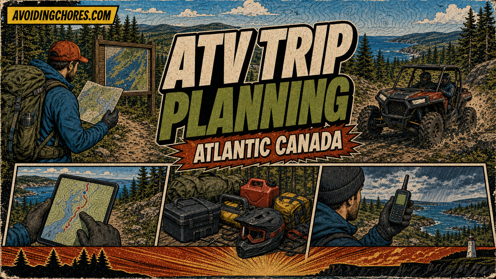
A good Atlantic Canada ATV trip starts before the machine leaves the driveway. The route, trail access, weather, fuel, communication plan, recovery gear and group expectations matter just as much as the ATV or side-by-side itself.
Quick Planning Workflow
- Pick the region and route idea.
- Verify access through the current provincial or trail-organization source.
- Check whether a trail pass, club membership or permit is required.
- Load the route into your GPS or mapping app and keep a backup map.
- Pack recovery gear, first aid, water, food, layers and tools.
- Prepare satellite communicator contacts if travelling outside reliable cell coverage.
- Tell someone where you are going and when you expect to return.
Nova Scotia Access Checks
For Nova Scotia, start with the province’s OHV information and ATVANS trail resources. ATVANS publishes trail information, maps and approved road-trail information, including road-trail maps by county or region. Those sources should be checked before relying on any older trip report.
New Brunswick Access Checks
For New Brunswick, start with QuadNB. QuadNB presents itself as the place to plan a trip, view trail maps, buy permits, find clubs and learn safety rules. It also describes a province-wide trail system with thousands of kilometres of trails supported by member clubs.
Navigation Setup
- Use a GPS or app you already understand before the ride starts.
- Download offline maps before leaving cell coverage.
- Mark start point, fuel, bailout roads and the planned end point.
- Keep a power source or spare batteries available.
- Do not rely on a single app screenshot as your only map.
Communication Setup
Remote ATV rides often move through weak or nonexistent cell coverage. A Garmin inReach, ZOLEO or other satellite communicator can help, but only if the subscription is active, contacts are current and everyone understands the check-in plan.
Bottom Line
The best ATV trip plan is boring in the right ways: legal route, current map, working communication, enough fuel, practical recovery gear and a group that knows the plan.
Access And Rules To Verify
ATV route access changes. Before riding, check the Nova Scotia OHV information page, ATVANS, ATVANS approved road trails, or QuadNB for New Brunswick routes. Also follow posted signs, landowner rules, club guidance, seasonal closures, fire restrictions and local laws.
Related AvoidingChores ATV And Navigation Guides
- Remote ATV ride packing checklist
- Prepare satellite communicator contacts before a trip
- Plan an off-road ATV trip with Gaia GPS and Garmin Explore
- Find trail access and difficulty information on Garmin Tread
- Garmin maps: free vs paid options for handheld GPS users
- Garmin inReach vs ZOLEO for Canadian outdoor users