Author: thecyr
-
Garmin GPSMAP H1 vs GPSMAP 67: Choosing the Right Handheld GPS for Canadian Backcountry
Garmin’s new GPSMAP H1 impresses with a touchscreen interface, massive battery life, and survival tools. But how does it compare to the rugged GPSMAP 67, which is already a top choice for serious outdoor users? Here’s a practical breakdown for Canadian adventurers. Canadian Retail Pricing Side-by-Side Comparison Feature Garmin GPSMAP H1 Garmin GPSMAP 67 Display…
-
Electrify Your Garage: Home Charging Guide for the F-150 Lightning Standard Range
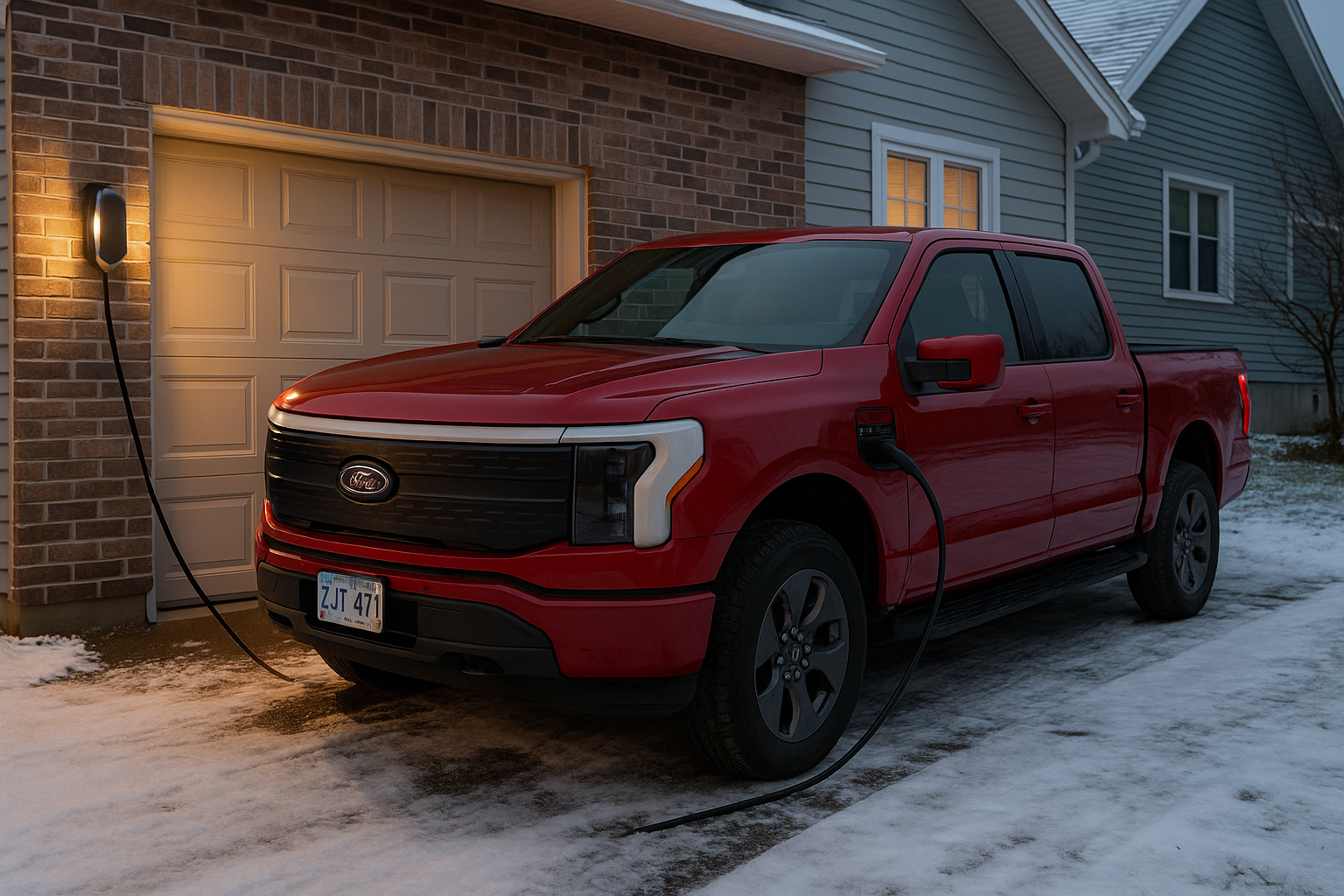
If you’ve welcomed a 2024–2025 Ford F-150 Lightning Standard Range into your life, you’re in for impressive EV capability—but that also means getting smart about how you charge it at home. Here’s everything you need to know, from cozy overnight plugs to rapid backup-ready setups. Level 1 Charging – The “Just Plug & Go” Option…
-
Garmin Trails and Garmin Explore: How to Plan Your Next Adventure with Outdoor Maps+
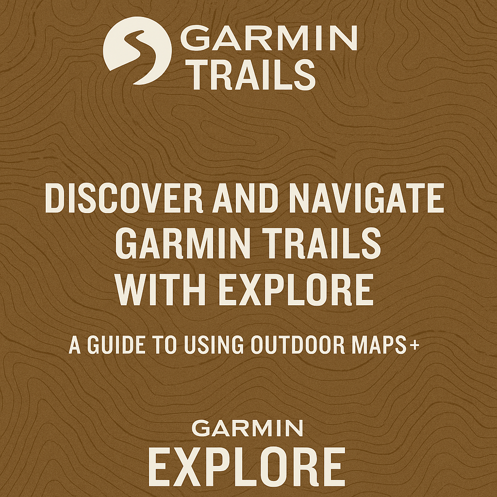
Updated: August 2025 Garmin has taken another big step toward making outdoor trip planning easier and more connected. With the launch of Garmin Trails in May 2025, hikers, backpackers, and outdoor enthusiasts can now discover curated, vetted routes directly within Garmin’s ecosystem — and seamlessly integrate them into the Garmin Explore app for offline navigation.…
-
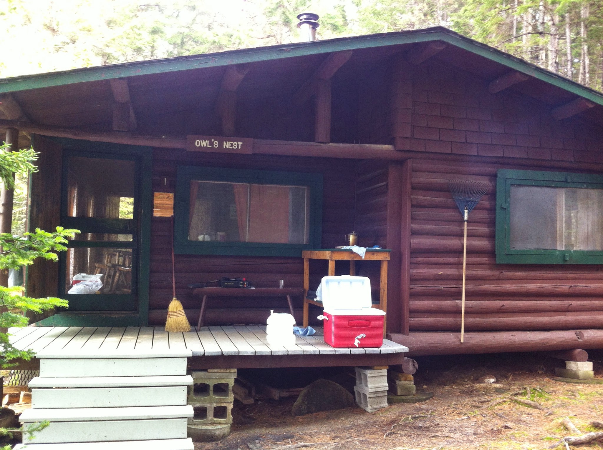
Preserving Wilderness Charm: The Restoration of Daicey Pond Cabins
A Year of Careful Conservation Beginning in May 2024, Baxter State Park embarked on an ambitious restoration effort to repair and preserve the historic cabins at Daicey Pond. To allow this work to proceed efficiently, the campground was closed to overnight guests from May 2024 through April 2025 . Restoration, Not Renovation This project wasn’t…
-

ZOLEO’s Safety & Tracking Features Explained: Peace of Mind Beyond Cell Coverage
Venturing off-grid can be thrilling—but it’s also unpredictable. ZOLEO’s satellite messenger ensures you stay connected, safe, and trackable no matter where you go. Here’s a complete breakdown of its key features and why every outdoor adventurer should consider adding one to their gear. Two-Way Messaging That Just Works Seamless connectivity switching: Automatically moves between Wi‑Fi,…
-

MEC’s Environmental Ambitions: What It Means for Outdoor Enthusiasts
If you’ve walked into an MEC store lately or browsed their site, you might’ve noticed something new: a quiet but powerful shift in how they do business. MEC—Canada’s iconic outdoor retailer—has officially returned to Canadian ownership and is doubling down on sustainability in a big way. With bold new targets to cut greenhouse gas emissions…
-

BRP and Polaris Report Weaker-than-Expected Q3 2024 Financial Results
In the latest financial reports, both BRP (DOO) and Polaris (PII) have reported significant declines in revenue, net income, and earnings per share (EPS) for the third quarter of 2024. Both companies, major players in the powersports industry, faced considerable challenges due to reduced consumer demand, rising interest rates, and ongoing inflationary pressures.
-

🚀 Exploring the Great Outdoors with the Tread 2 Powersports Navigator 🏔️
Garmin, has just announced the launch of its latest off-road device, the Tread 2 powersports navigator. Designed for adventure enthusiasts who love exploring off the beaten path, this rugged device is built to handle all terrains and weather conditions. Incremental Updates The Tread 2 features a 6-inch high-resolution, ultrabright display that’s easy to view in…
-
Sunsetting GPS.training
The GPS.Training domain website was a project lauched in 2017 that provided tutorials related to GPS navigation systems. Jim Cyr, a Canadian outdoor enthusiast and technology expert, created the site to help users effectively navigate and make the most of GPS devices. The content focused on practical advice for hikers, bikers, and adventurers using GPS…
-

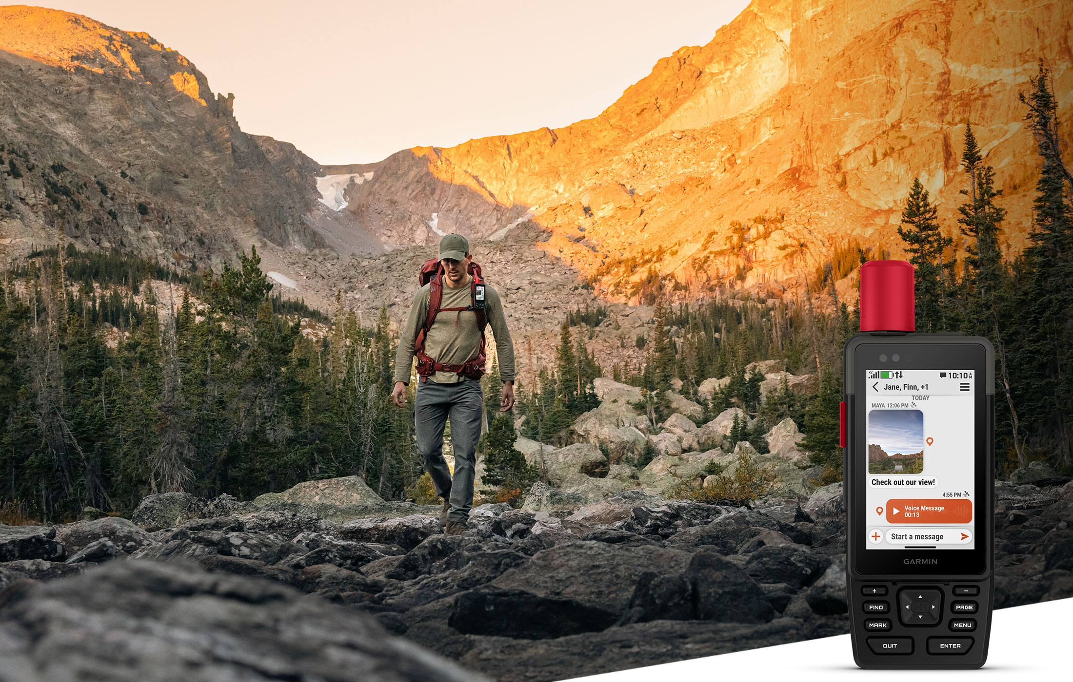
Garmin inReach Messenger Plus: Satellite Communication with Photo & Voice Messaging
Garmin, a leader in GPS technology and outdoor devices, has once again raised the bar with the inReach Messenger Plus, launched on 18 September 2024. Packed with advanced features, this new satellite communicator offers adventurers a more versatile way to stay connected beyond the limits of cell service. Whether trekking through remote wilderness or navigating…