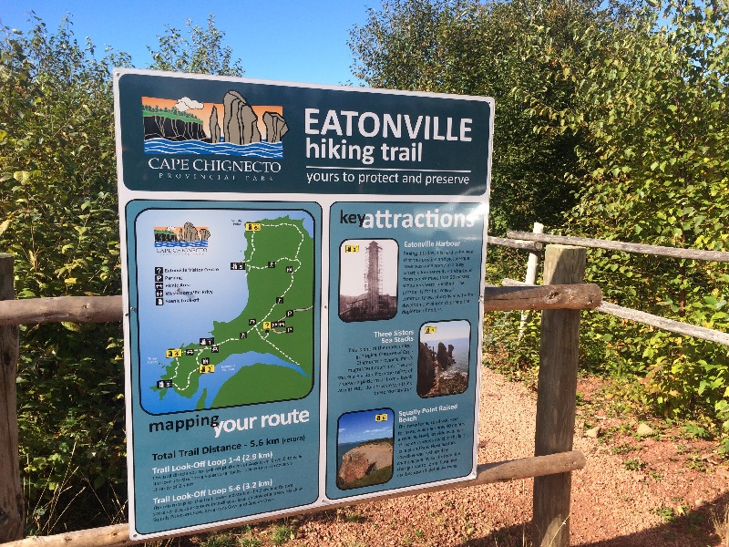
The hiking is fairly easy, with no difficult sections. Plan your visit on a clear day to fully enjoy the scenery. Depending where you came from, you either return to Amherst or take the scenic route to Advocate Harbour to Five Islands and to Truro.
For a more challenging route, the Advocate Harbour entrance to the park offers more options including walk-in camping sites and cabins in case you wanted to undertake the 3 day backcountry hike around the cape. Update: The visitor centre at the Eatonville location has been closed permanently due to structural issues. So I’d visit the Advocate harbour location if you want to speak to park staff or get literature.
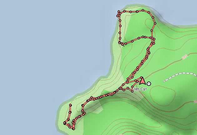
Trip Summary: Cape Chignecto Day Use
Trip Stats
5.6km
Distance
3.5mi
Distance
2h 01m
Total time
2.7km/h
Avg speed (incl. stops)
2.8km/h
Moving speed
172m
Elevation gain
171m
Elevation loss
102m
Highest point
Elevation Profile
Terrain & Pace Summary
Hilly / Technical
This route packs 172 m of climbing over 5.6 km (31 m/km) — expect frequent ups and downs and sections that demand attention.
Technical / Slow-going
Tight trails, obstacles, or frequent stops kept speeds low — come prepared.
Points of Interest near Start / End
⚠️ The businesses below were identified from public mapping data at the time of generation.
Always verify hours and ATV-friendliness before you ride.
Accommodation
Airbnb near trailhead
Search Airbnb for rural properties that welcome trailers.
View on Maps / WebTrail Access & Pass Information
⚠️ Trail pass and gate information changes seasonally.
The notes below are based on publicly available information at time of generation — verify before you go.
- Check your provincial / state OHV registration requirements before riding.
- Verify gate and seasonal-closure status with a local ATV club or land manager.
- Some trail networks require a separate trail pass — confirm with the local OHV association.
Original Photos