Cape George Heritage Trails are a network of footpaths totalling 37kms about a half hour from Antigonish Nova Scotia. One of the first trails designed by local trail building guru Peter jackson, you park at the Cape George Heritage School along route 337.
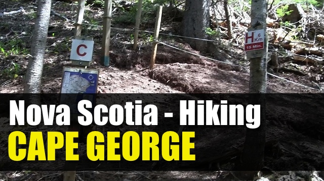
While driving you may see highway signs to take the scenic route, and it is recommend, but you won’t have any signs to tell you where the parking lot is unless you come up in the opposite direction. Once at the school, you cross the road and start down the path for the main hub. Trail segments are lettered and trail maps are plentyful along the trail. Trail marking is also very good.
From here you will be looking at doing the various loop all have some moderate difficulty as you navigate around the valley. Expect to hike between 5-9km depending on your route. To reach the actual Cape, expect to hoof it closer to 20km (which I don’t recommend unless you have multiple cars)
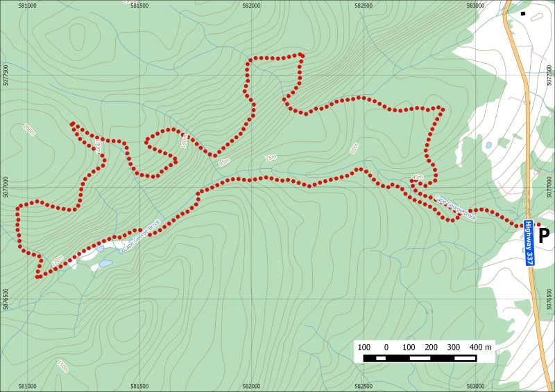
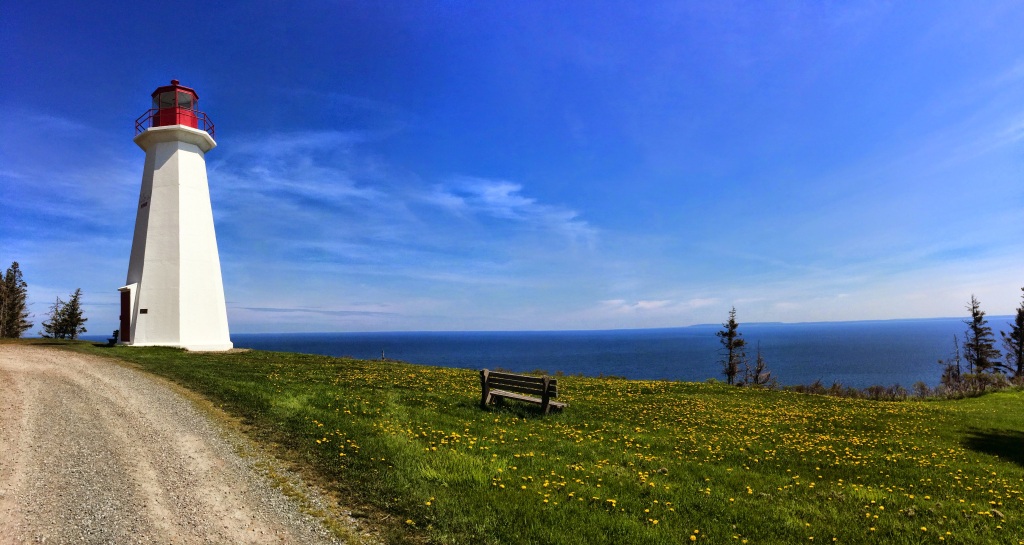
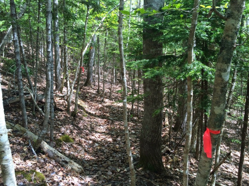
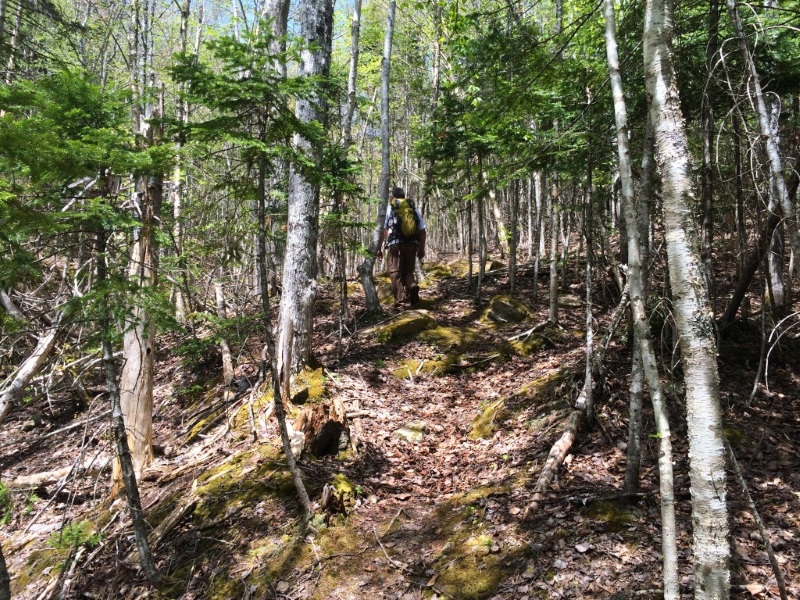
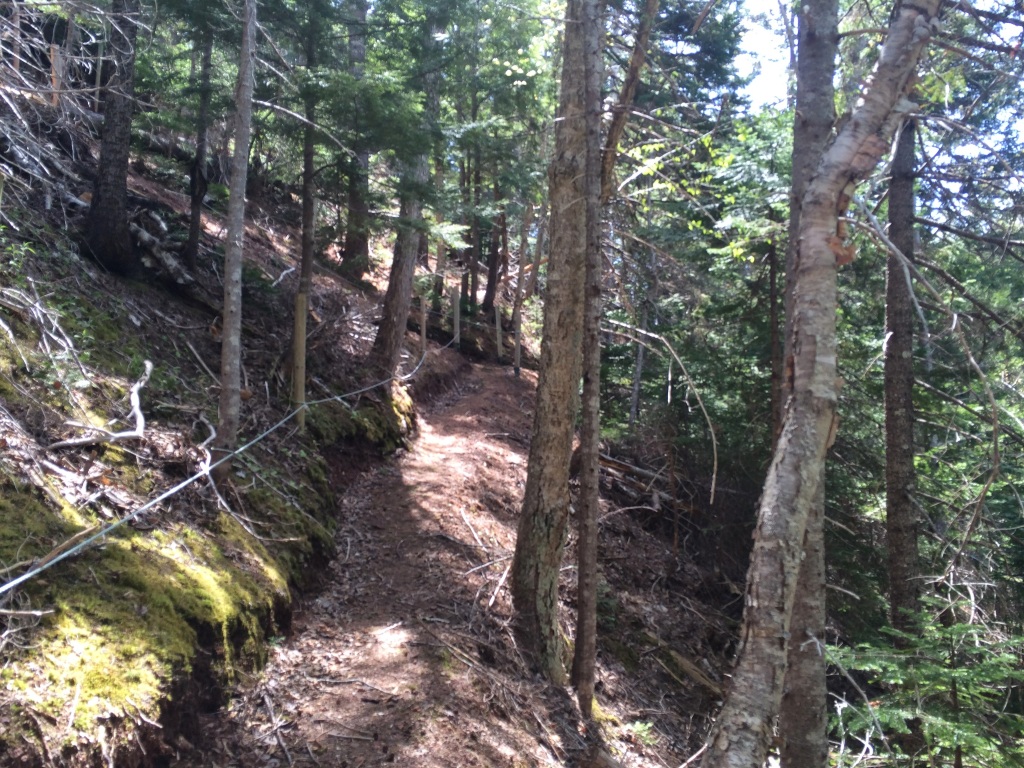
We chose route B – C – H – I – B which totalled just about 8kms. We hiked along very nice section of forest, which is similar to Gully lake. Foliage colors in the fall should be spectacular. With tree growth over the years, planned sections of trails which offer ocean views on top of the 600ft elevation is partially hidden which is a bit of a downer.
We took 3 hours to complete our route with plenty of stops for pictures and snacks. No facilities other than parking and a few benches can be found along the trails.
Learn more about the trails at their website
Music Doxent Zsigmond » “Forgotten Land” http://ccmixter.org/files/doxent/45486
Trip Summary: Cape George Trails
Trip Stats
8.2km
Distance
5.1mi
Distance
3h 09m
Total time
2.6km/h
Avg speed (incl. stops)
2.6km/h
Moving speed
359m
Elevation gain
344m
Elevation loss
232m
Highest point
Elevation Profile
Terrain & Pace Summary
Hilly / Technical
This route packs 359 m of climbing over 8.2 km (44 m/km) — expect frequent ups and downs and sections that demand attention.
Technical / Slow-going
Tight trails, obstacles, or frequent stops kept speeds low — come prepared.
Points of Interest near Start / End
⚠️ The businesses below were identified from public mapping data at the time of generation.
Always verify hours and ATV-friendliness before you ride.
⚠️ Trail pass and gate information changes seasonally.
The notes below are based on publicly available information at time of generation — verify before you go.
Check your provincial / state OHV registration requirements before riding.
Verify gate and seasonal-closure status with a local ATV club or land manager.
Some trail networks require a separate trail pass — confirm with the local OHV association.