From the Nova Scotia Hiking Trail Guide
- Guide category: Historical Trails
- Length: 4 km (return)
- Difficulty: 2C
- Duration: 2 hours
- Book trailhead: N44 56.238 W64 13.064
 Litter Receptacle
 Pets on leash / Dog friendly
 Stay on trail
 Trailhead
 Snow-shoeing
 Transit access
 Parking
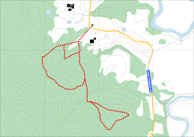
Network of walking trails within a woodlot, containing archeological artifacts.
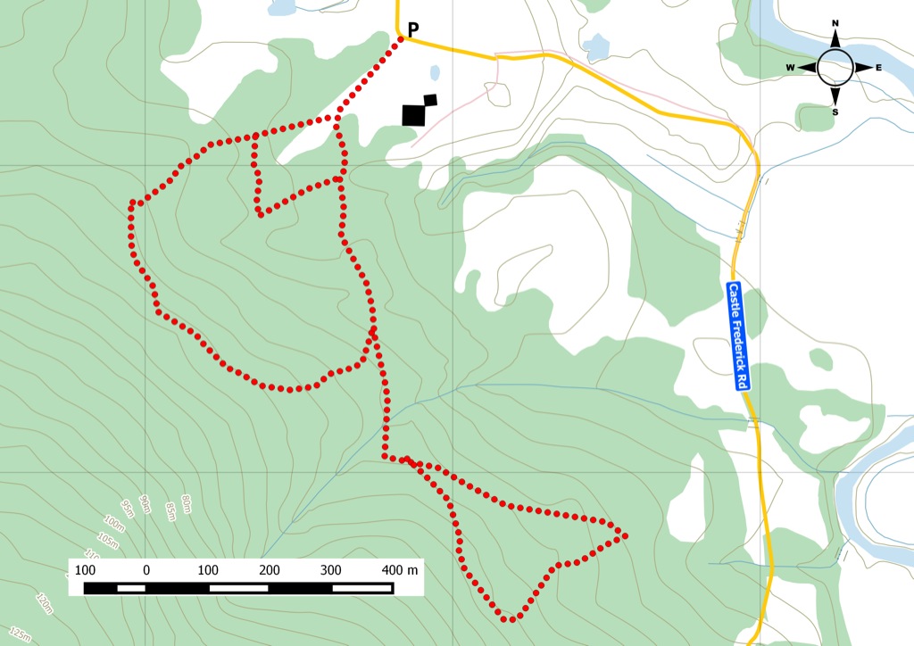
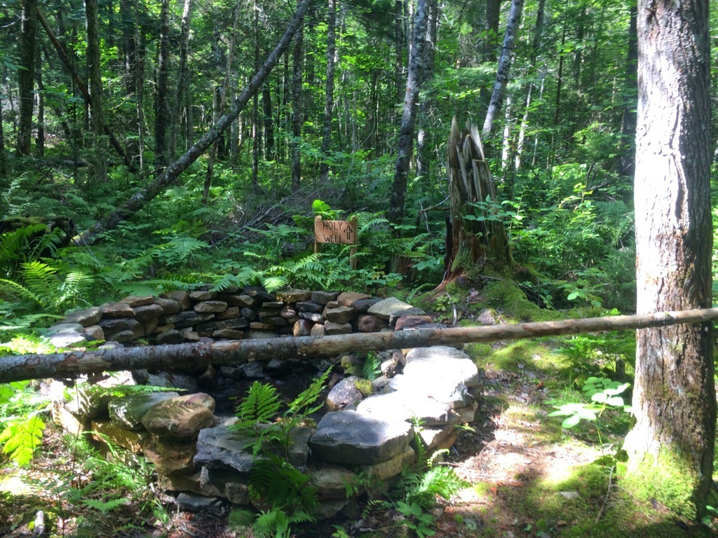
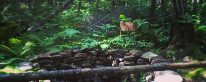
These trails encompass a number of loops within Castle Frederick Farm . The terrain isn’t difficult, mainly footpaths running over nice rolling hills and soft ground, and a few sections along old roads. This 2000-acre woodlot was recently put under a stewardship agreement with the Archaeological Land Trust of Nova Scotia to protect the six archaeological sites and enable further investigation. Castle Frederick Farm was home to a large manor house and observatory owned by Colonel Joseph Frederick Wallet DesBarres in 1764. DesBarres is responsible for publishing the Atlantic Neptune maps & charts , the most important mapping resource of the 18th century for North America. He took 10 years to survey the coastline of Nova Scotia. Today, a few relics remain on the property: a chapel, a baptism well, and a discarded farm dump from the early 1900's. There are tree identification cards along the trails. The picnic table & firepit by the holy well offer a nice spot to take a break. Watch this trail on YouTube.
Trip Summary
Trip Stats
Elevation Profile
Terrain & Pace Summary
Good rolling terrain with 101 m of gain over 3.5 km (29 m/km). Rewarding underfoot without being punishing.
Easy 2.3 km/h pace — plenty of time to take in the surroundings.
Stops Along the Way
Stops detected where GPS movement paused for 5 minutes or more — likely a viewpoint, snack break, or photo opportunity.
Trails Near This Route
Nearby Trails
Trail Access & Pass Information
- Nova Scotia Off-Highway Vehicle Act: A valid Nova Scotia OHV registration is required for off-highway vehicle use on approved trails and crown land routes.
- Seasonal closures: Forestry roads and managed trail systems may close during spring break-up, storm cleanup, wildfire risk, or maintenance. Confirm current access with Nova Scotia Crown Land Roads and local trail managers before heading out.
- Road connectors: Rules for off-highway vehicles on public roads vary by municipality and designated connector. Trailer to an approved trailhead unless you have confirmed a legal connector route.
- Trail passes and land access: Some club-maintained or private-land connectors may require a local club pass, membership, or landowner permission. Check local association updates before your ride.
Trail Photos
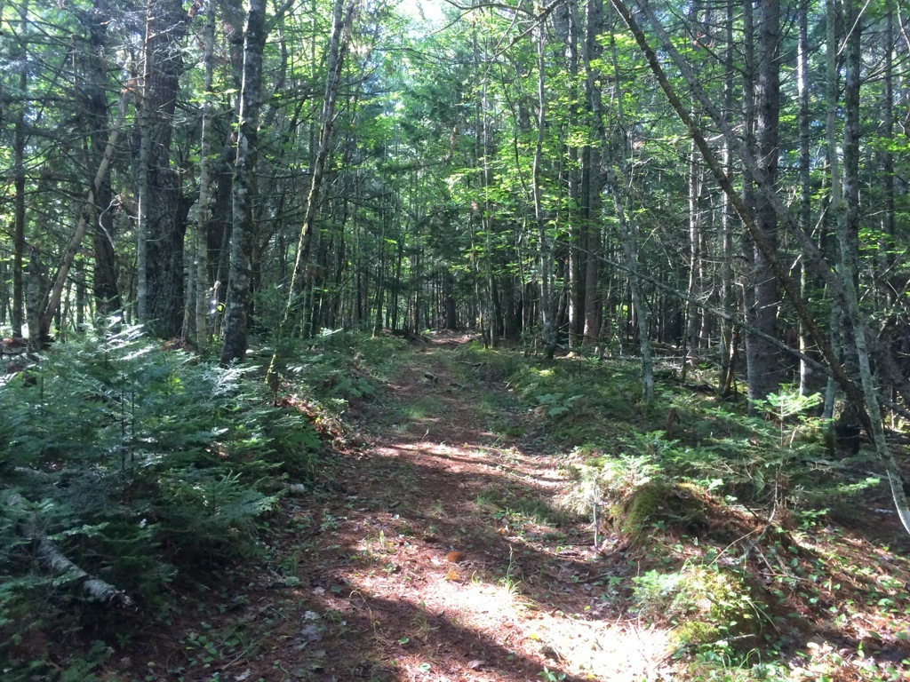
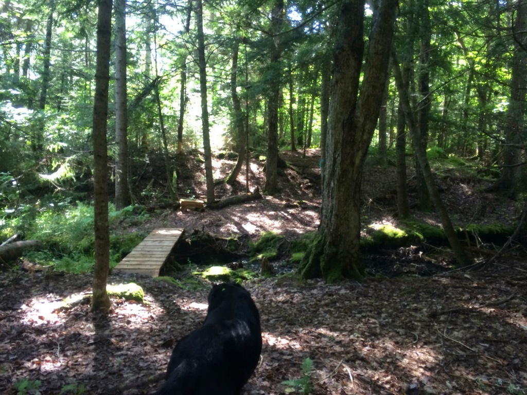
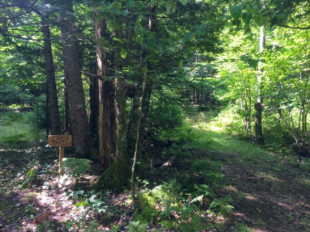
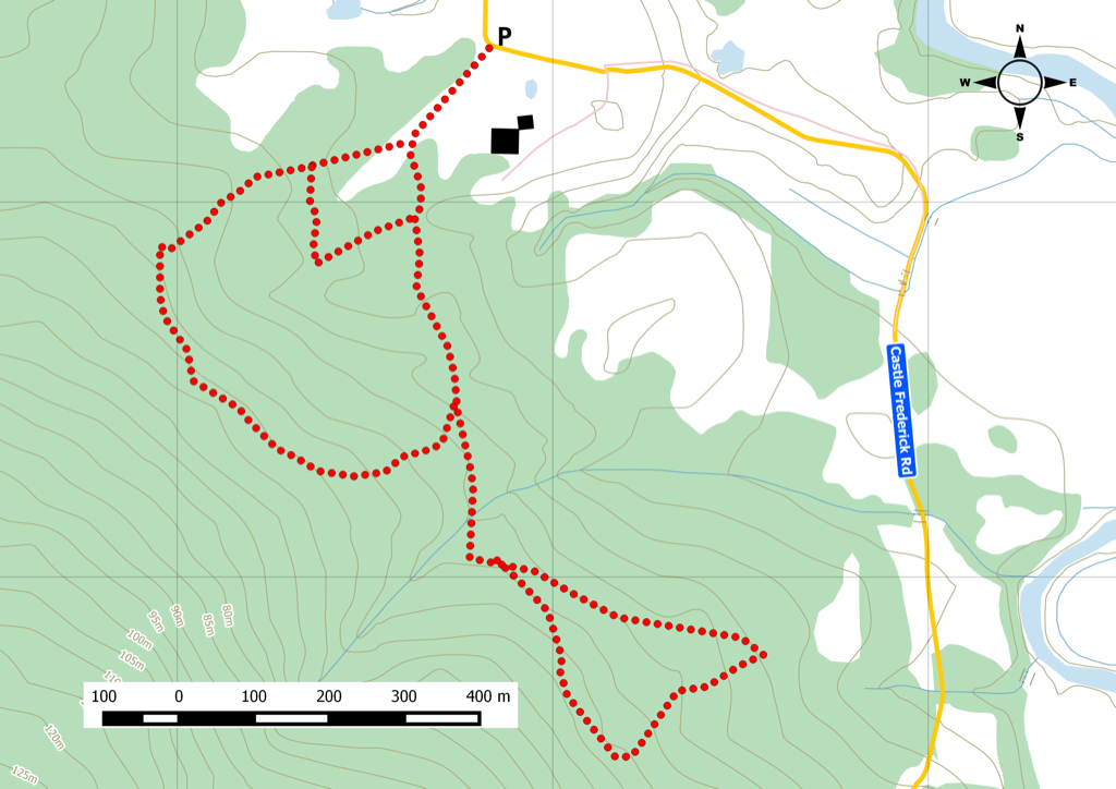
 We started along Old Smith Rd trail. The trails themselves are a mix between footpaths, old farming/access roads. Overtime, as hikers come out, trail definition will take hold. While some sections are nicely marked, you sometimes get a bit confused once you get to a junction.
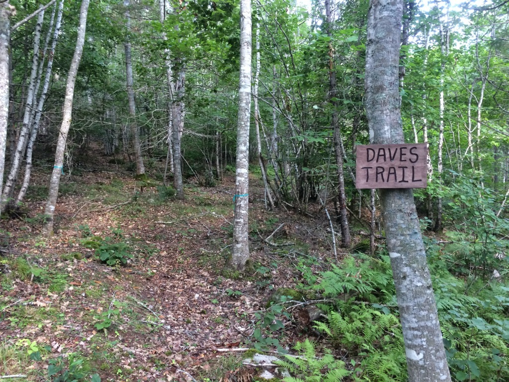
We got on Dave’s tail segment and continued along King’s Trail + Tom Cole Trail + Cross trail where the bulk of the infrastructure can be found.
Picnic table & firepit nearby the holy well is a nice break as you encounter tree identification cards along the way. The terrain wasn’t difficult in terms of elevation, nice rolling hills and soft ground.
I’d bring a GPS, snacks & water. We did about 4km on this loop, but you can easily add on closer to the overall total of 10km of trails. Plenty of activities are planned all year, including snowshoeing.
Links of Interest
http://www.altns.ca/castlefrederick.htm
https://www.facebook.com/castlefrederickfarms
http://en.wikipedia.org/wiki/Atlantic_Neptune
http://www.westhantstrails.ca/maps
We started along Old Smith Rd trail. The trails themselves are a mix between footpaths, old farming/access roads. Overtime, as hikers come out, trail definition will take hold. While some sections are nicely marked, you sometimes get a bit confused once you get to a junction.
We got on Dave’s tail segment and continued along King’s Trail + Tom Cole Trail + Cross trail where the bulk of the infrastructure can be found.
Picnic table & firepit nearby the holy well is a nice break as you encounter tree identification cards along the way. The terrain wasn’t difficult in terms of elevation, nice rolling hills and soft ground.
I’d bring a GPS, snacks & water. We did about 4km on this loop, but you can easily add on closer to the overall total of 10km of trails. Plenty of activities are planned all year, including snowshoeing.
Links of Interest
http://www.altns.ca/castlefrederick.htm
https://www.facebook.com/castlefrederickfarms
http://en.wikipedia.org/wiki/Atlantic_Neptune
http://www.westhantstrails.ca/maps