ParkingPets on leash / Dog friendlyStay on trailTrailheadViewing area
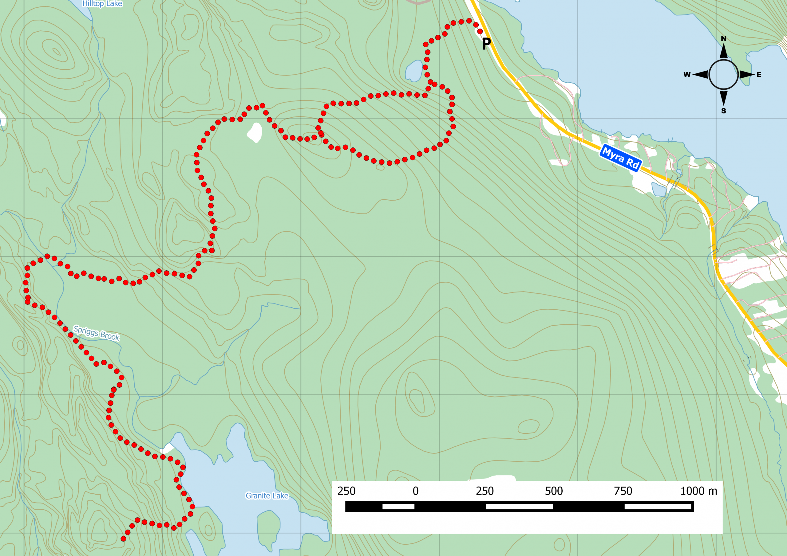
A short 6km route combining two of the five wilderness trails.
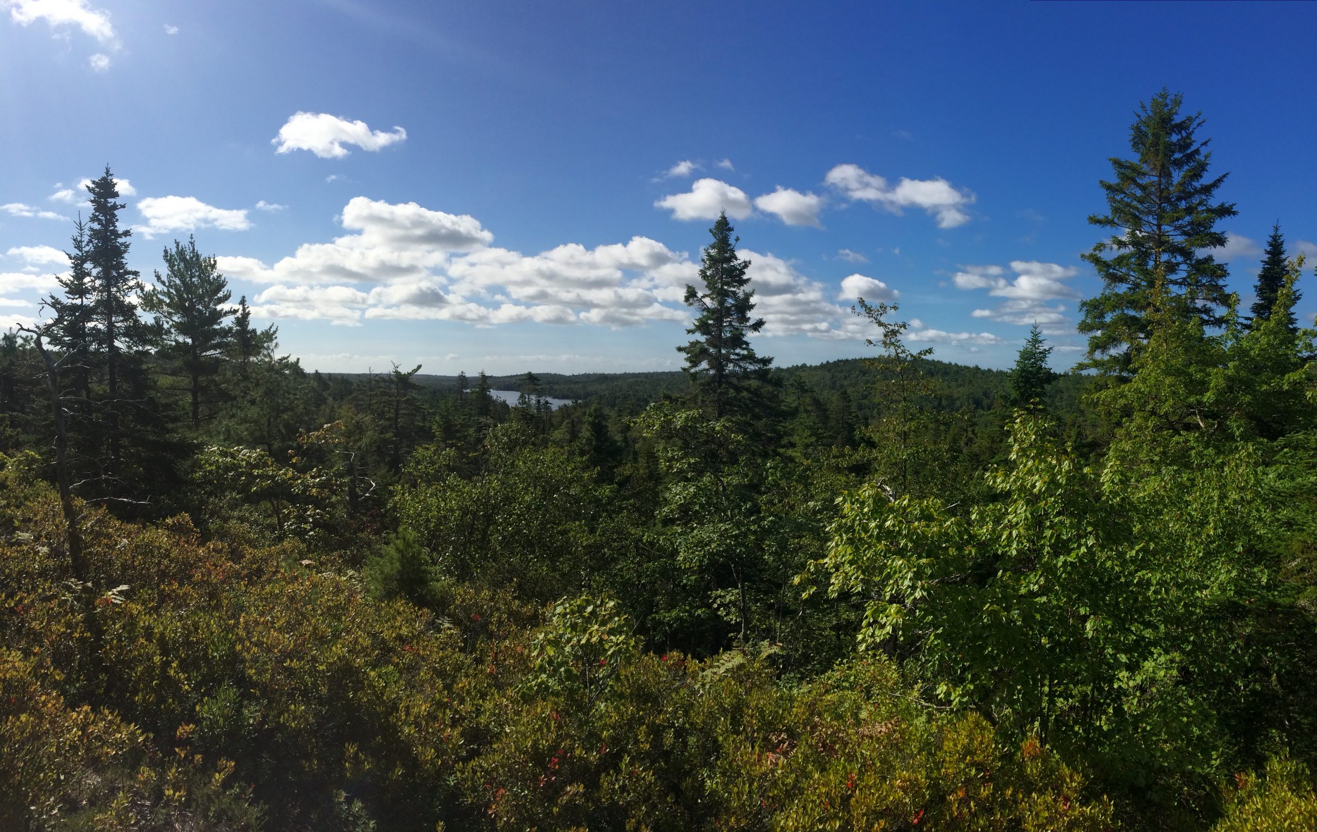
One of few wilderness hiking options close to Halifax, Crowbar Hiking trails comprise five segments totalling 18km. A nice warm-up route is this simple 6km out & back. Follow the Porters Lake loop, branch off to the Spriggs Brook segment, and continue to the McLaughlin crossing. This is difficult terrain. Proper footwear is needed. Cell reception can be spotty even though you can see Dartmouth and Cole Harbour from the look out spot. Parking is available at the trailhead along Myra Road. Watch this trail on YouTube.
Trip Summary
Trip Stats
3.5km
Distance
2.2mi
Distance
0h 00m
Total time
0.0km/h
Avg speed (incl. stops)
0.0km/h
Moving speed
172m
Elevation gain
171m
Elevation loss
114m
Highest point
Elevation Profile
Terrain & Pace Summary
Hilly Walk
Good rolling terrain with 172 m of gain over 3.5 km (49 m/km). Rewarding underfoot without being punishing.
Leisurely Walk
Easy 0.0 km/h pace — plenty of time to take in the surroundings.
Trails Near This Route
🧭️ Trails from avoidingchores.com within 10 km of the trailhead, sorted nearest first. Distances are straight-line from the trailhead.
3.5 km trail · 0.0 km away
Crowbar Lake Trails – Spriggs Brook Trail
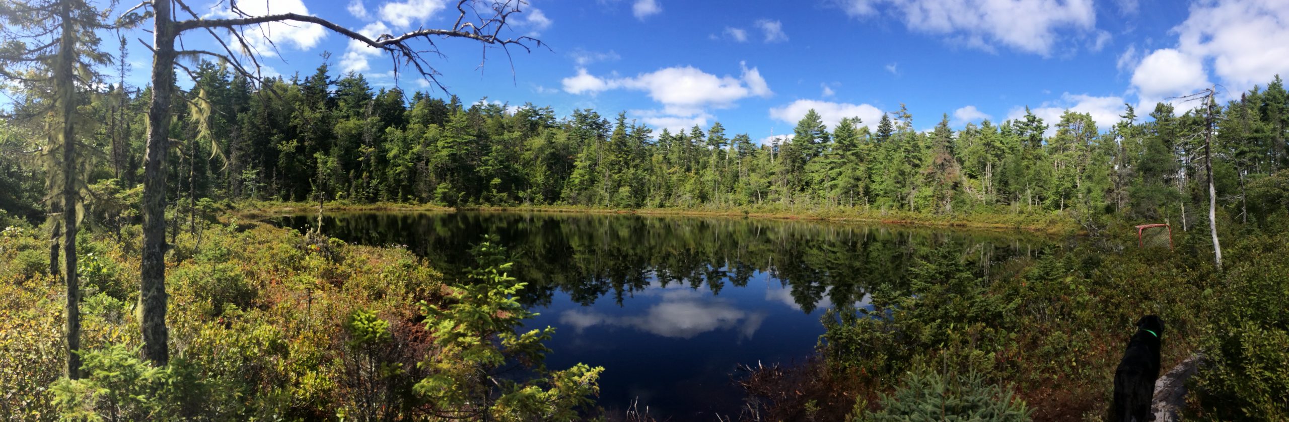
The route offers views of distant Granite Lake and stillwater sections of Spriggs Brook.
🗺️ The links below open trail maps centred on the trailhead. Always cross-reference with a local club or land manager before riding an unfamiliar trail.
Gaia GPS
Browse trails on Gaia GPS
Opens Gaia GPS topo map centred on the trailhead. Shows recorded routes, public land layers, and trail overlays. Free account required to save routes.
⚠️ Trail pass and gate information changes seasonally.
The notes below are based on publicly available information at time of generation — verify before you go.
Check your provincial / state OHV registration requirements before riding.
Verify gate and seasonal-closure status with a local ATV club or land manager.
Some trail networks require a separate trail pass — confirm with the local OHV association.
Trail Photos
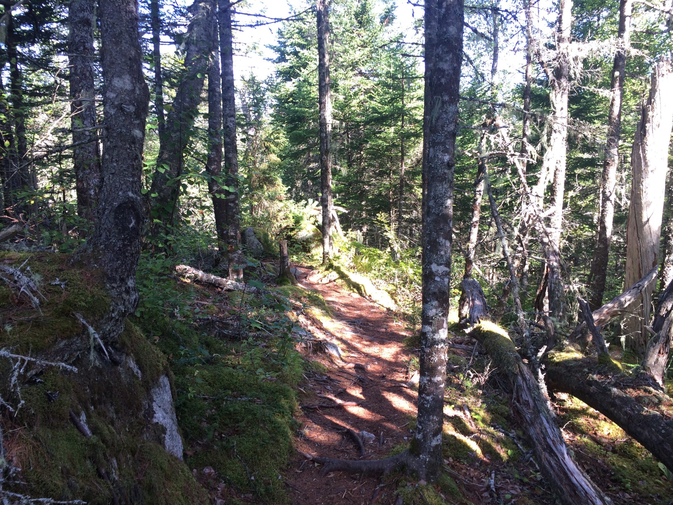
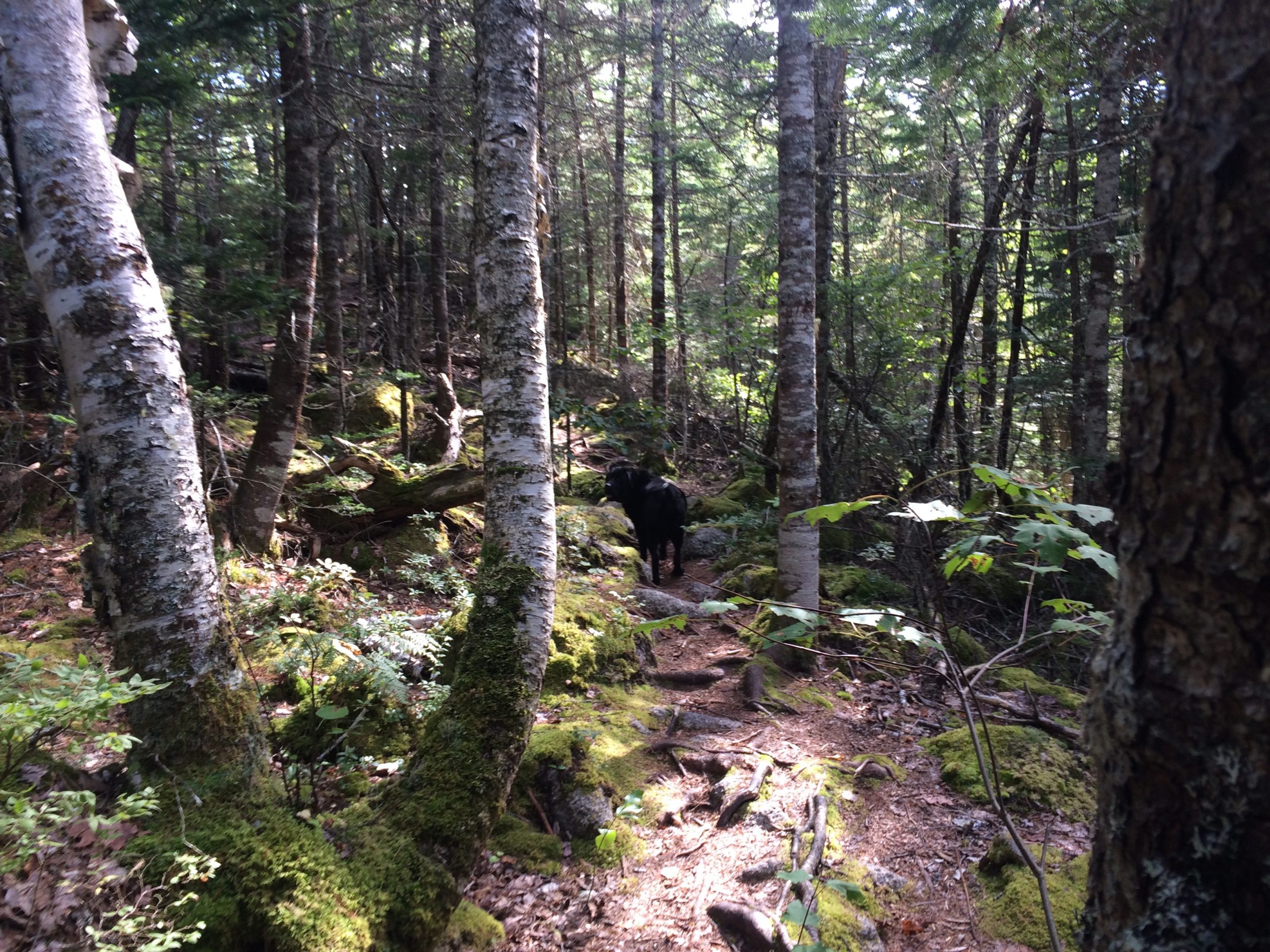
We talk about finding wilderness trails not far from the city, yet we don’t mention the Crowbar Hiking Trail system, just next to Porters Lake, barely a 20 min drive from downtown Halifax.
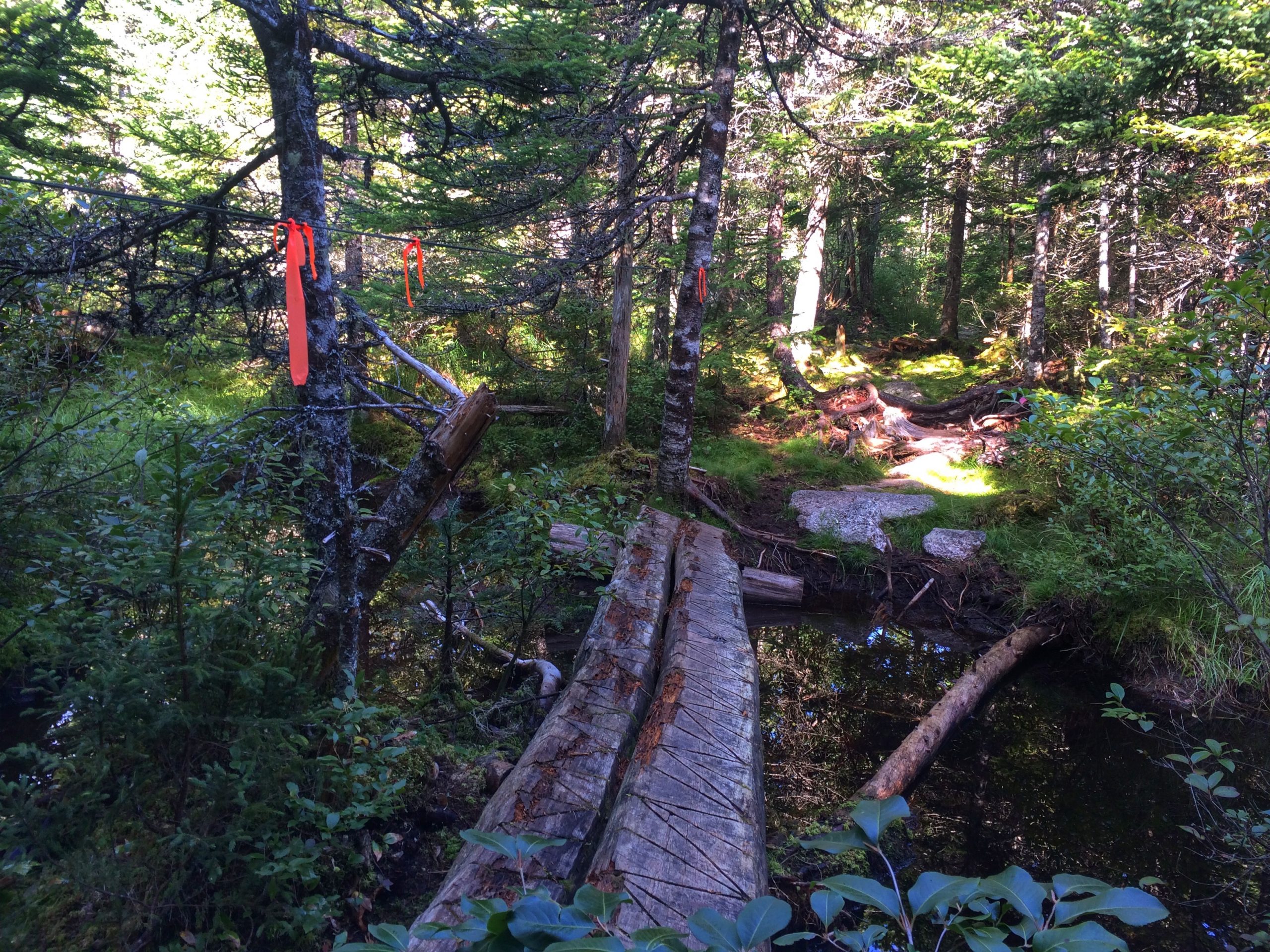
This was a 6k out & back along the Porters Lake & Spriggs Brook trail until the bridge to cross the stream.
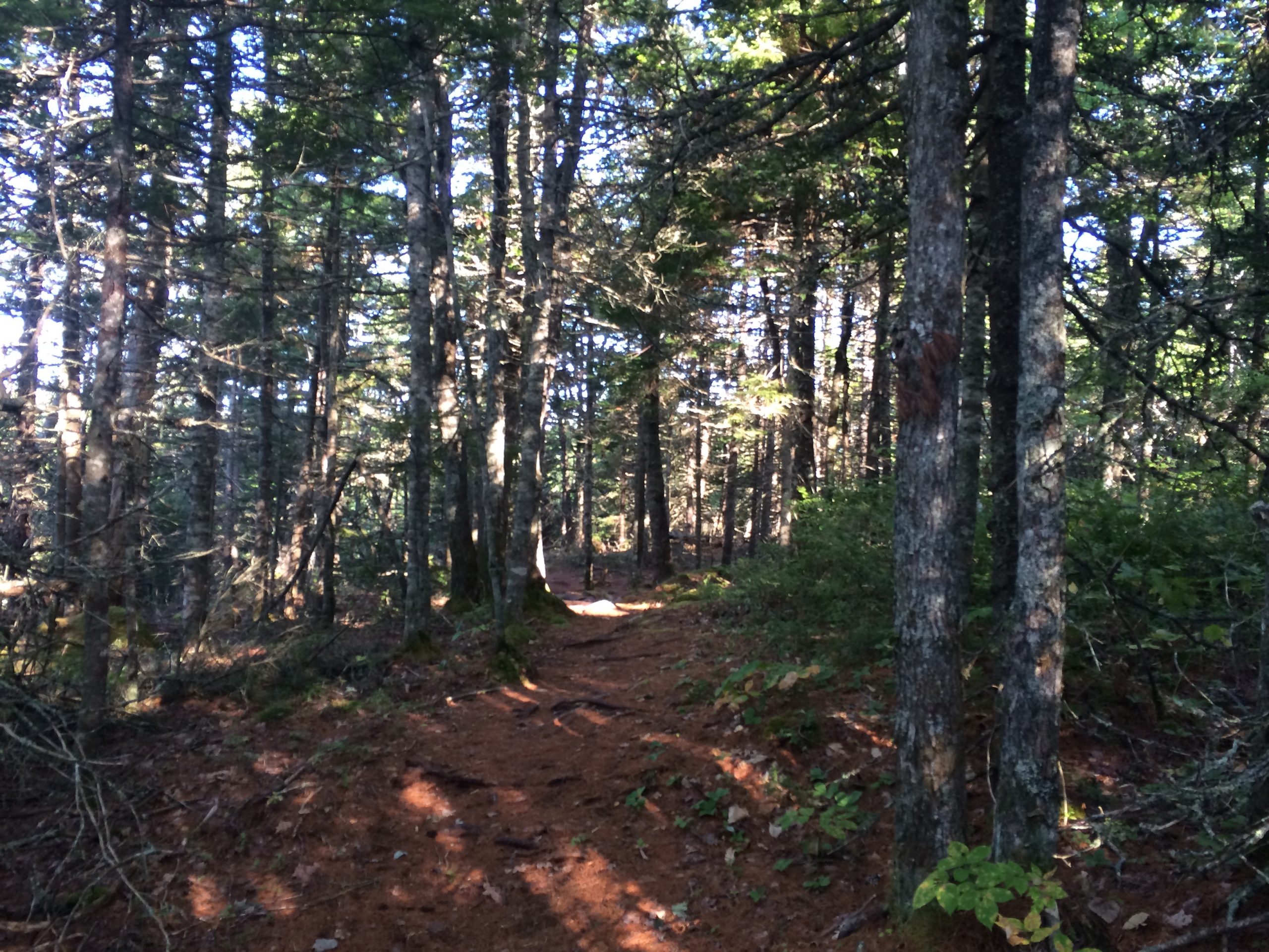
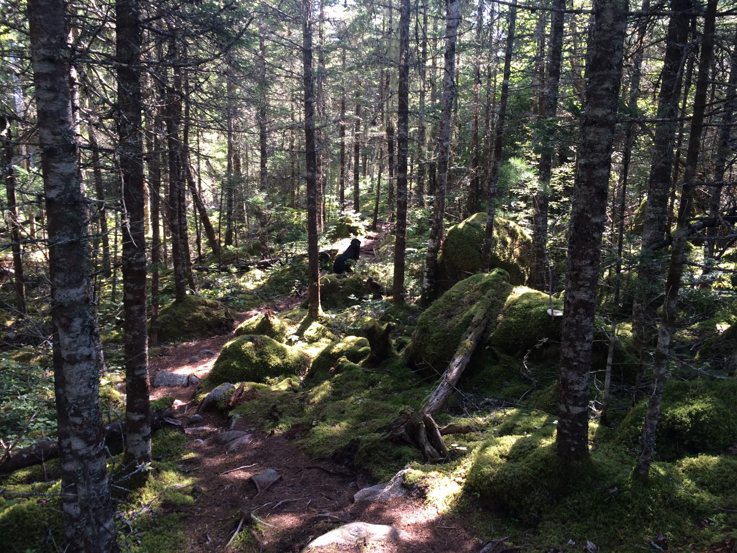
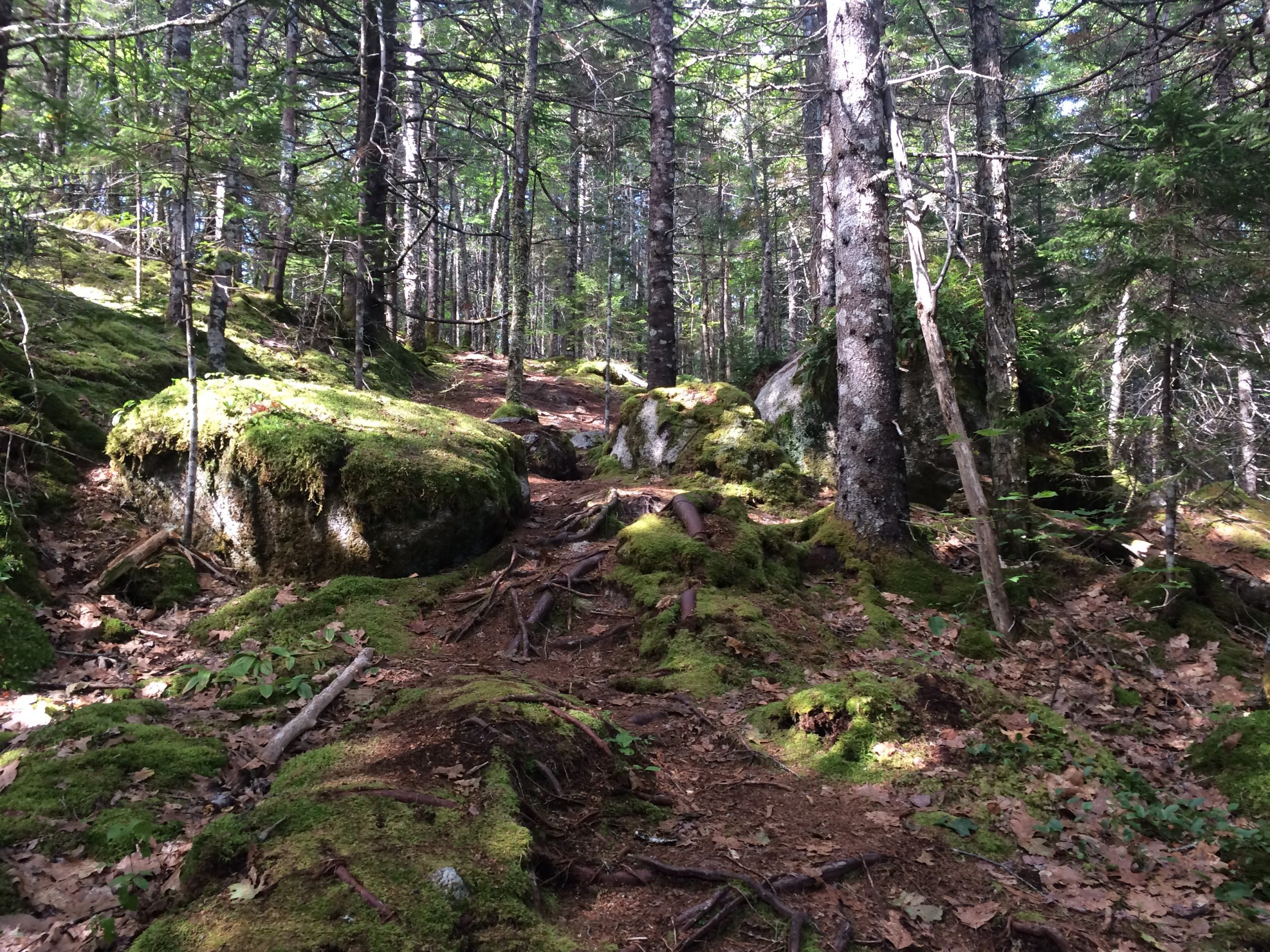
The plan was to make it to the West Lake trail junction. One of the things you’ll note when entering these trails is that it is pure wilderness. The terrain, doesn’t appear to be tough, but as you add the kms, the terrain slowly beats you down.
We opted to come here in the fall as the bugs are mostly gone and it was pretty dry summer, so many of the wet spots were dry as a bone. This made things easy going.
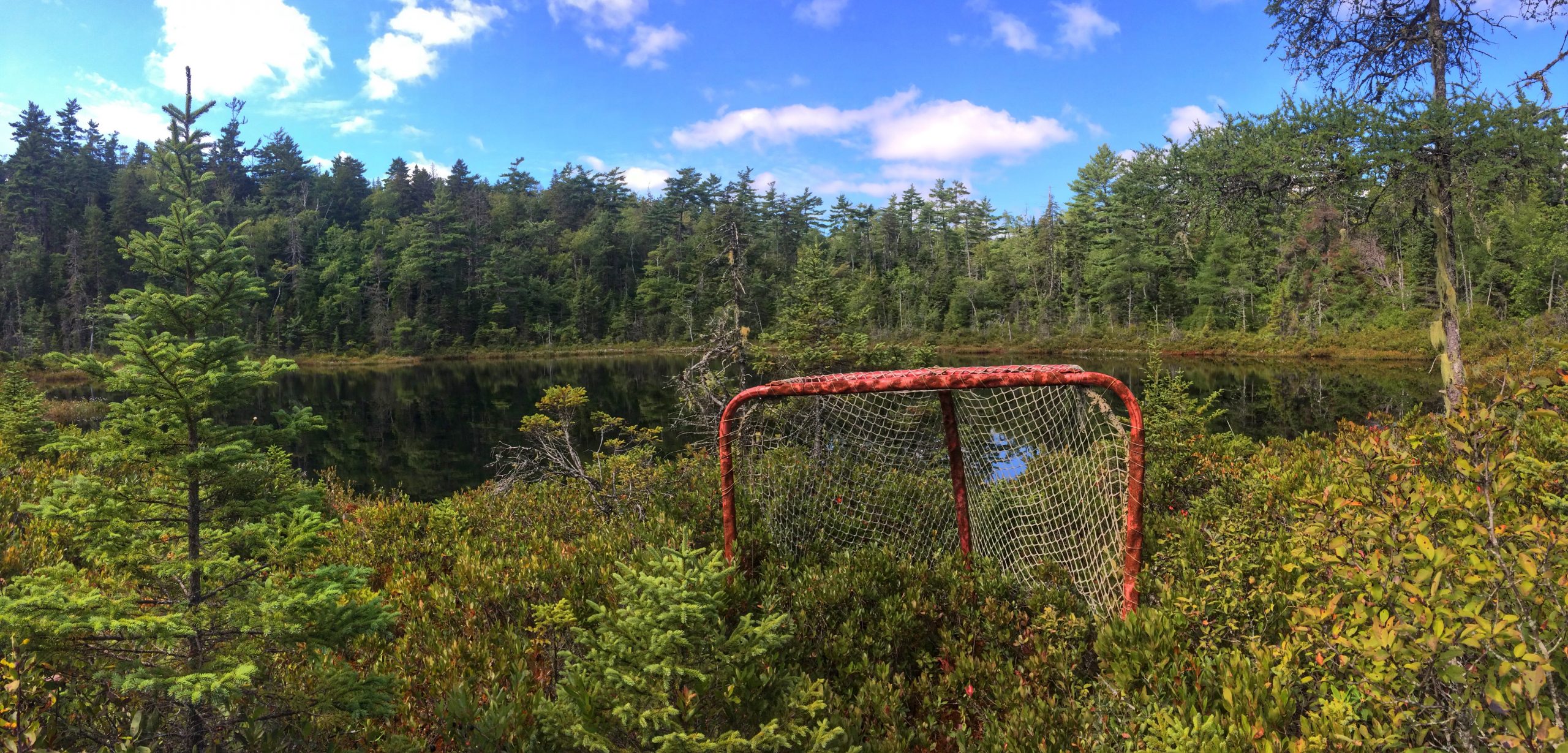
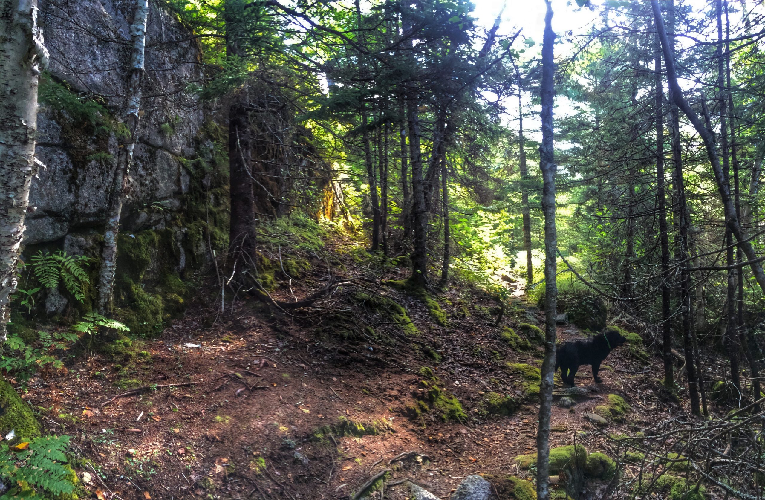
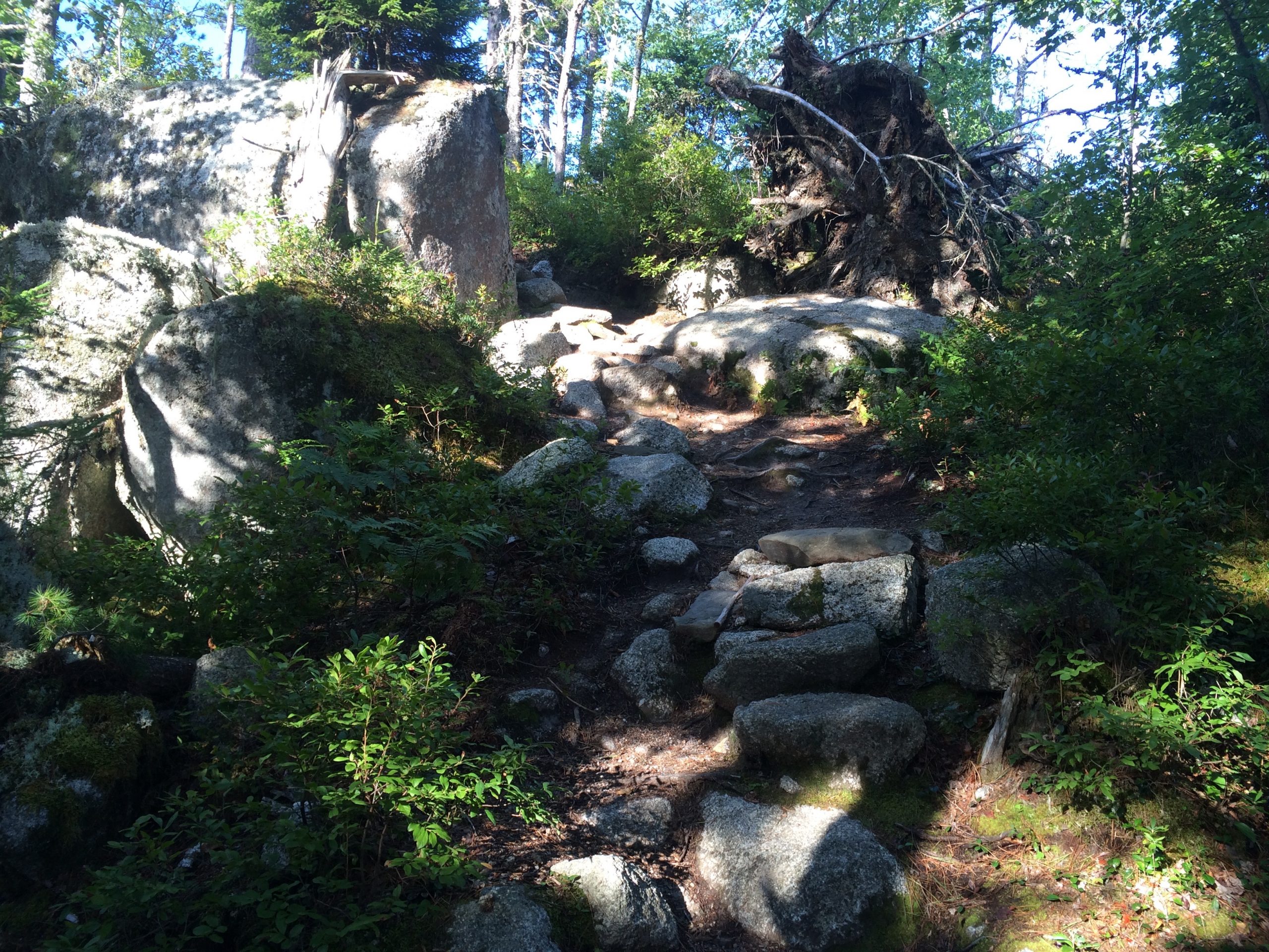
The biggest attraction along this trail is the granite landscape and the barrens forest peeking. Only a few sights can be had along the trail. You will reach a lookout point after 2k and the trail slowly gets better and wider the closer to the Spriggs Brook bridge.
After 90min to reach the bridge, we opted to turn back. 3 hours for 6k is quite the trek, The most deceiving part is that there are a lot of elevation. It seems you are going up hill both ways.
The parking lot can place a dozen cars and cell phone reception is very spotty along the trail.
More info here:
https://www.halifax.ca/trails/documents/CrowbarLakeHikingTrail_June17th.pdfhttp://www.trails.gov.ns.ca/shareduse/hx122.html

 Parking
 Pets on leash / Dog friendly
 Stay on trail
 TrailheadViewing area