
Last updated: July 28, 2026. Kejimkujik routes, backcountry rules, campsite access and seasonal advisories can change. Check Parks Canada before using older route or packing notes.
From the Nova Scotia Hiking Trail Guide
- Guide category: Walk In The Park
- Length: 5 km (return)
- Difficulty: 2B
- Duration: 1 hour
- Book trailhead: N44 26.537 W65 15.202
 Bicycle trail
 Information
 Litter Receptacle
 Parking
 Pets on leash / Dog friendly
 Stay on trail
 Trailhead
 Trail boardwalk
 Restrooms / Pit Toilet
 Strollers
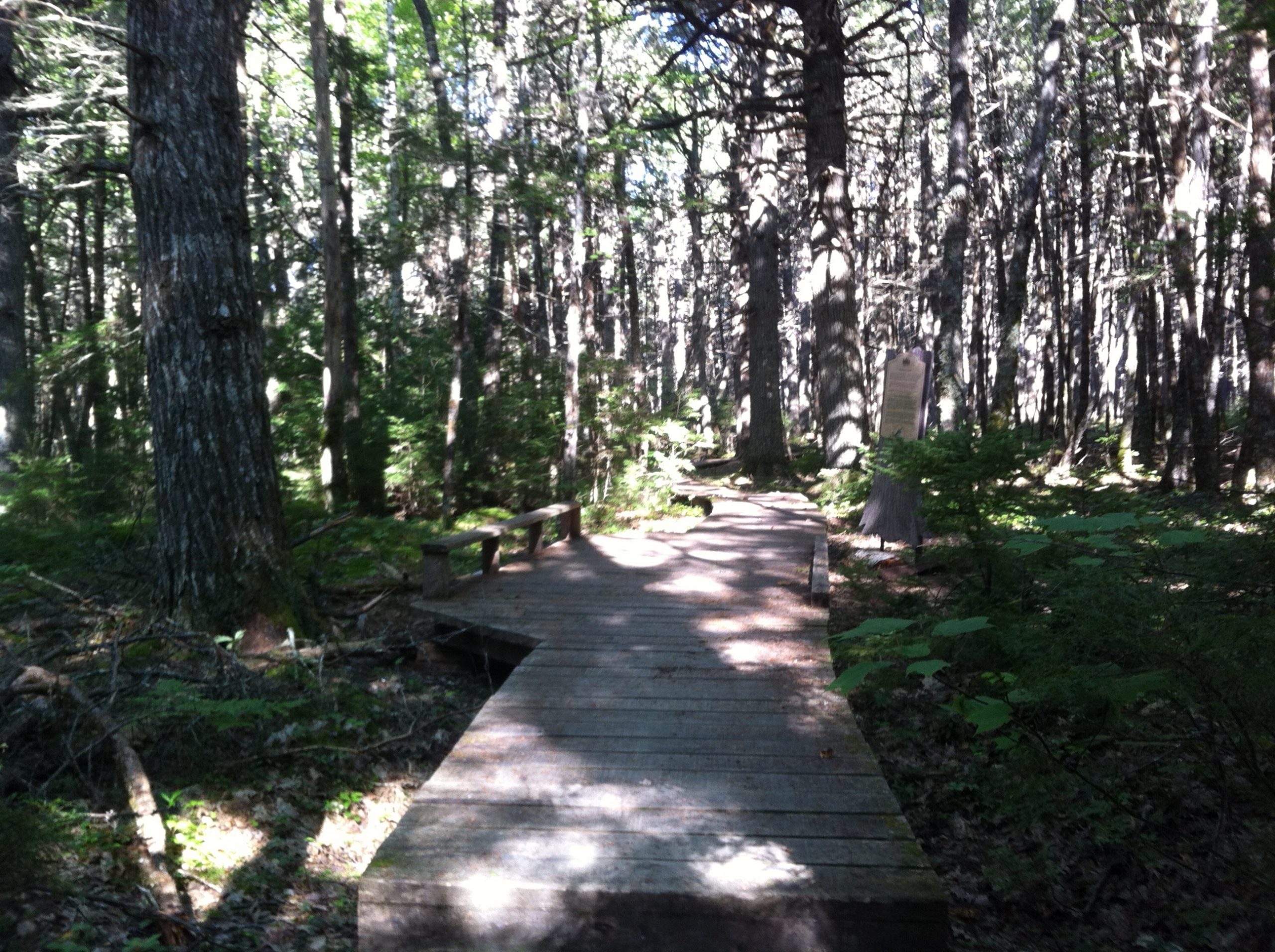
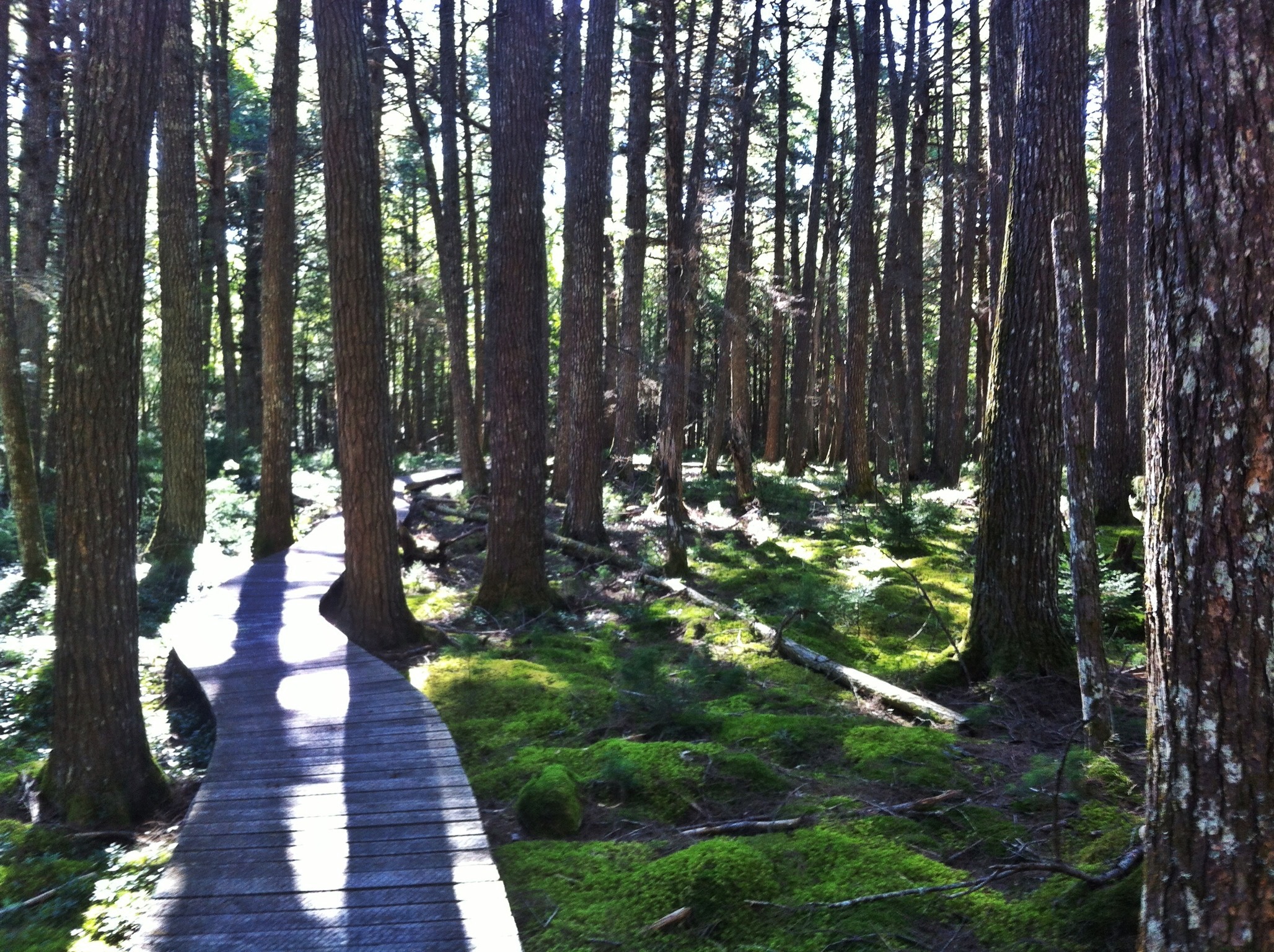
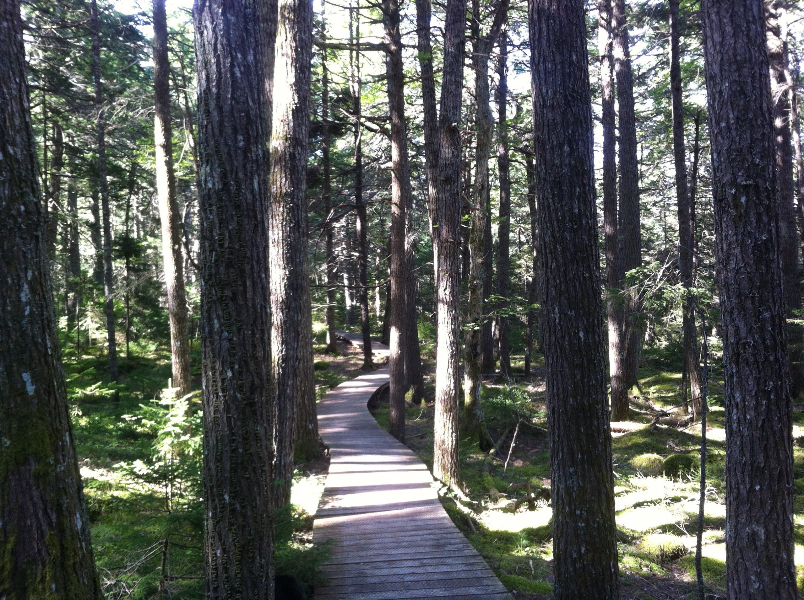
Walk under the oldest stand of hemlock trees in Nova Scotia.
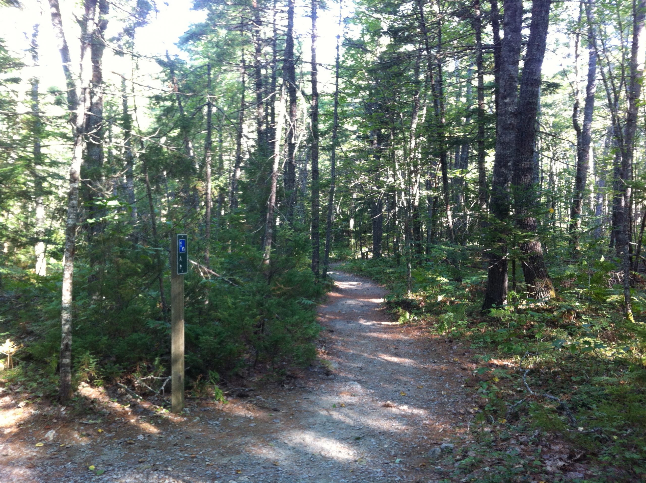
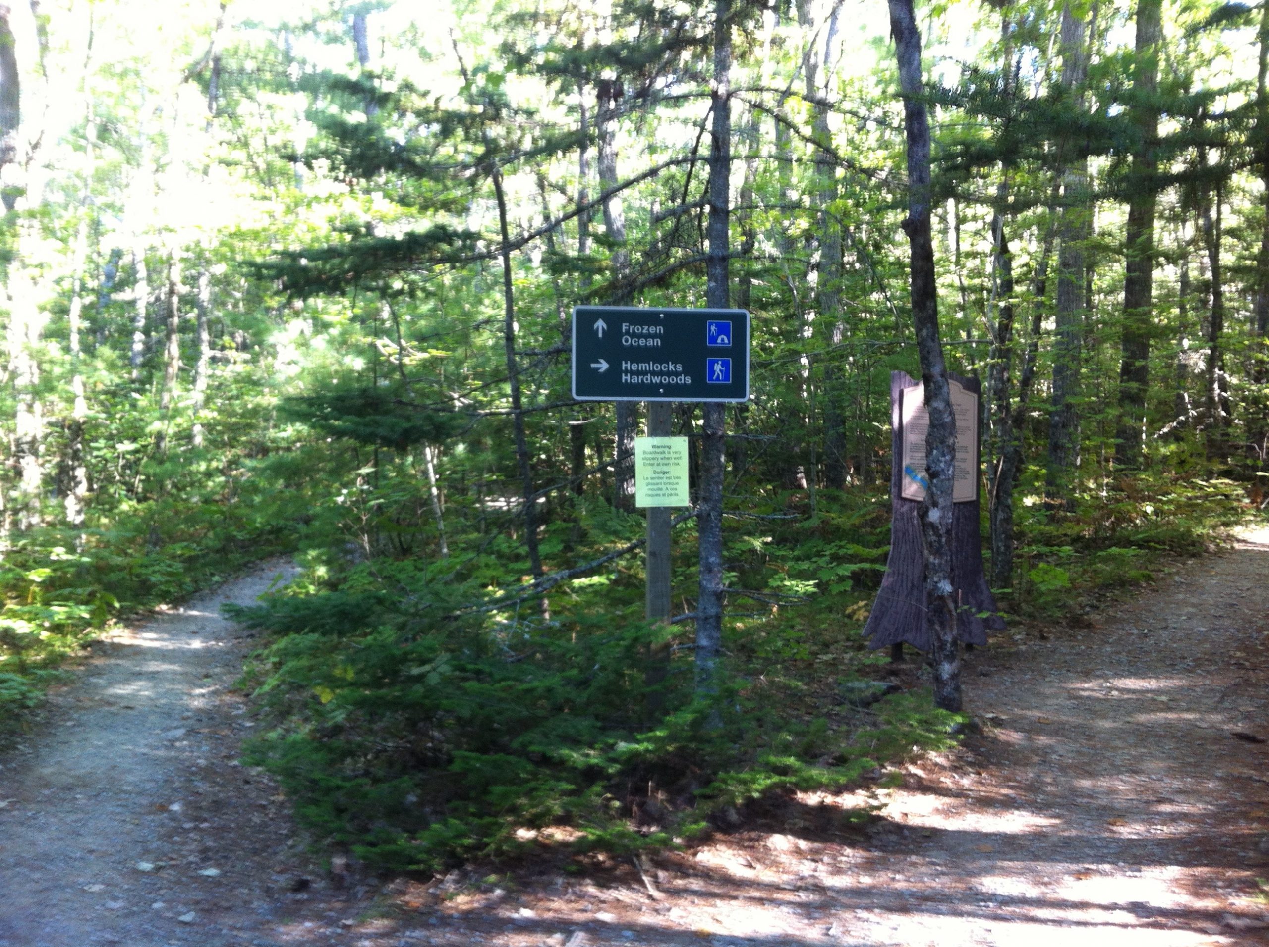
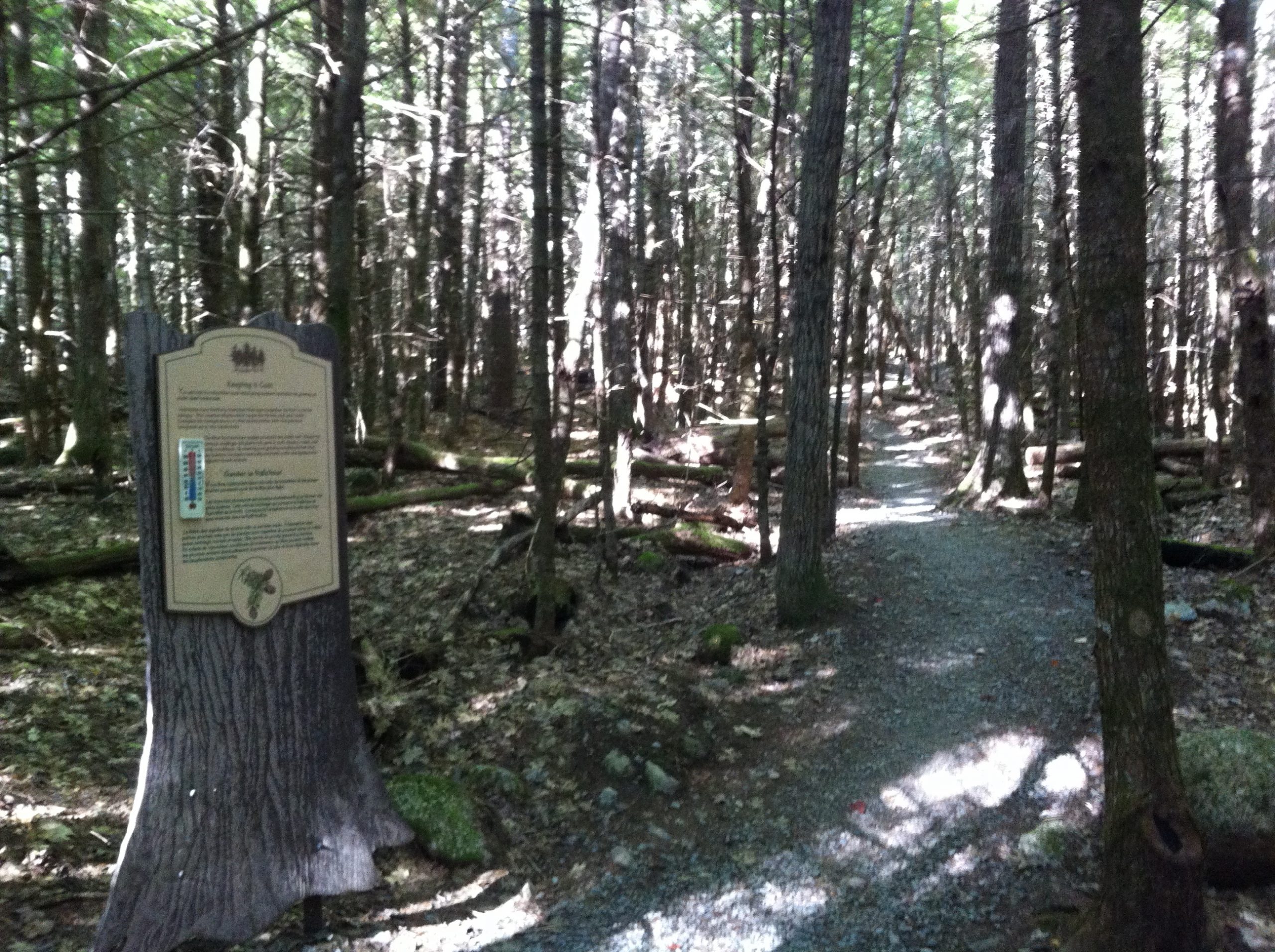
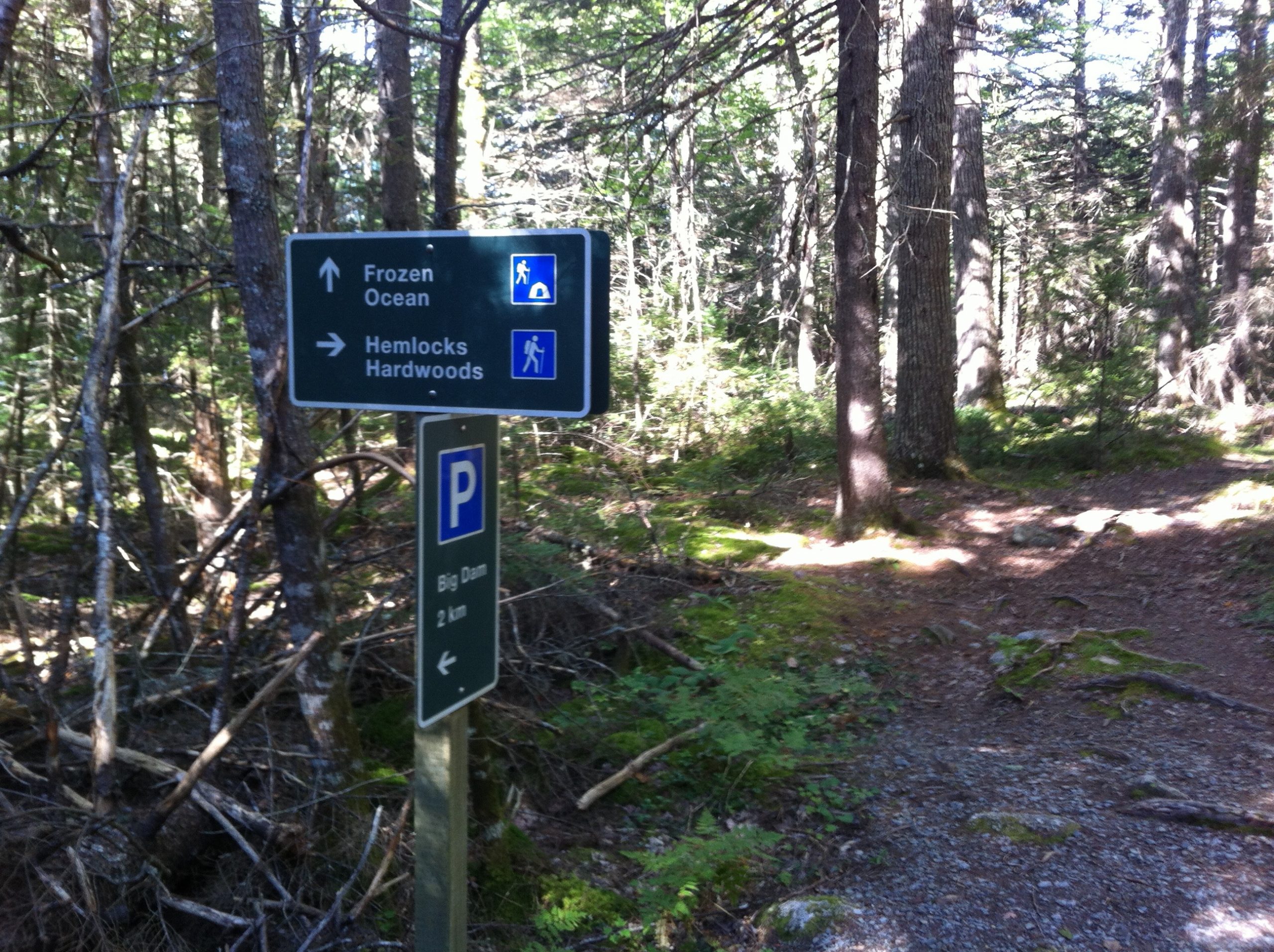
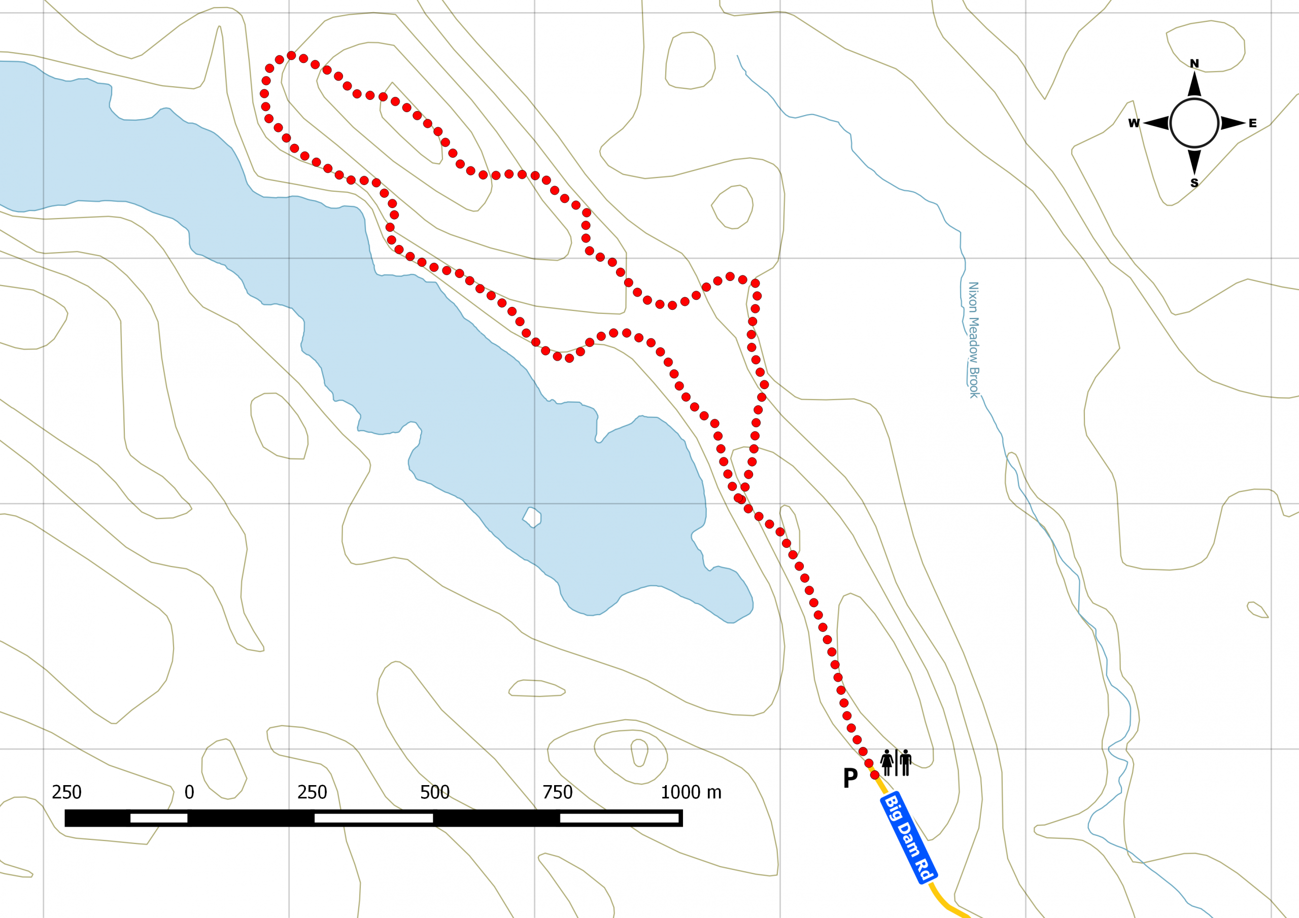
First-time visitor to Kejimkujik Provincial Park? This is a must-do trail . Start from the Big Dam parking lot and pass the walk-in campsites (take a peek if unoccupied, they’re different from the drive-up campsites). Continue until the fork splits the trail. To the right, there are interpretation panels to guide you along the hemlock section. Keep straight and the original path brings you to the end of the loop. Until mid-summer 2015, construction on the boardwalk section may make it impossible to complete the loop.
Trip Summary
Trip Stats
Elevation Profile
Terrain & Pace Summary
Good rolling terrain with 201 m of gain over 4.7 km (43 m/km). Rewarding underfoot without being punishing.
Easy 3.9 km/h pace — plenty of time to take in the surroundings.
Stops Along the Way
- 110 minMap it
Stops detected where GPS movement paused for 5 minutes or more — likely a viewpoint, snack break, or photo opportunity.
Trails Near This Route
Nearby Trails
Trail Access & Pass Information
- Check your provincial / state OHV registration requirements before riding.
- Verify gate and seasonal-closure status with a local ATV club or land manager.
- Some trail networks require a separate trail pass — confirm with the local OHV association.
Trail Photos
A great day of activities are shaping up over at Kejimkujik National Park & National Historic Site of Canada. The park is hosting their first geocaching challenge launch event on November 6th 2010 (GPS: N 44° 26.299 W 065° 12.964). This is a great opportunity to visit the park and to hike several trails in effort to earn a limited reward item.
Similar challenges can be found at either Cape Breton Highlands National Parks or at several participating Nova Scotia Provincial Parks.
The basic setup is that you have a “passport” and you need to log each location on the passport in order to claim a prize. It’s that simple. All you need is a GPS and a good pair of hiking boot. You don’t need to stray away from the trail in order to find each location; every location is along a marked trail.
I was able to get up to the park last week and do some of the initial scouting to assist the park for the event, so this will be a special preview.
The park recently got a Dark Sky Preserve designation earlier this year. This means that the lack of artificial light makes it a great location for astronomy. So with that in mind, the theme for the challenge in Kejimkujik is “Under Starry Skies”.
If you were to plot the locations on the passport onto a map, you’ll see that it takes the shape of a star constellation.
I scouted three locations for the event and started with a less used trail down in the south end of the park: Gold Mine trail. This is a short 3km loop trail with plenty of information about the brief gold mining operation in the area. Indeed, we ran into a number of open pits and even a discarded iron boiler. In winter time, the access road to the trail head is converted to a classic cross country ski trail. So this would make a great winter outing by ski or by snowshoe.
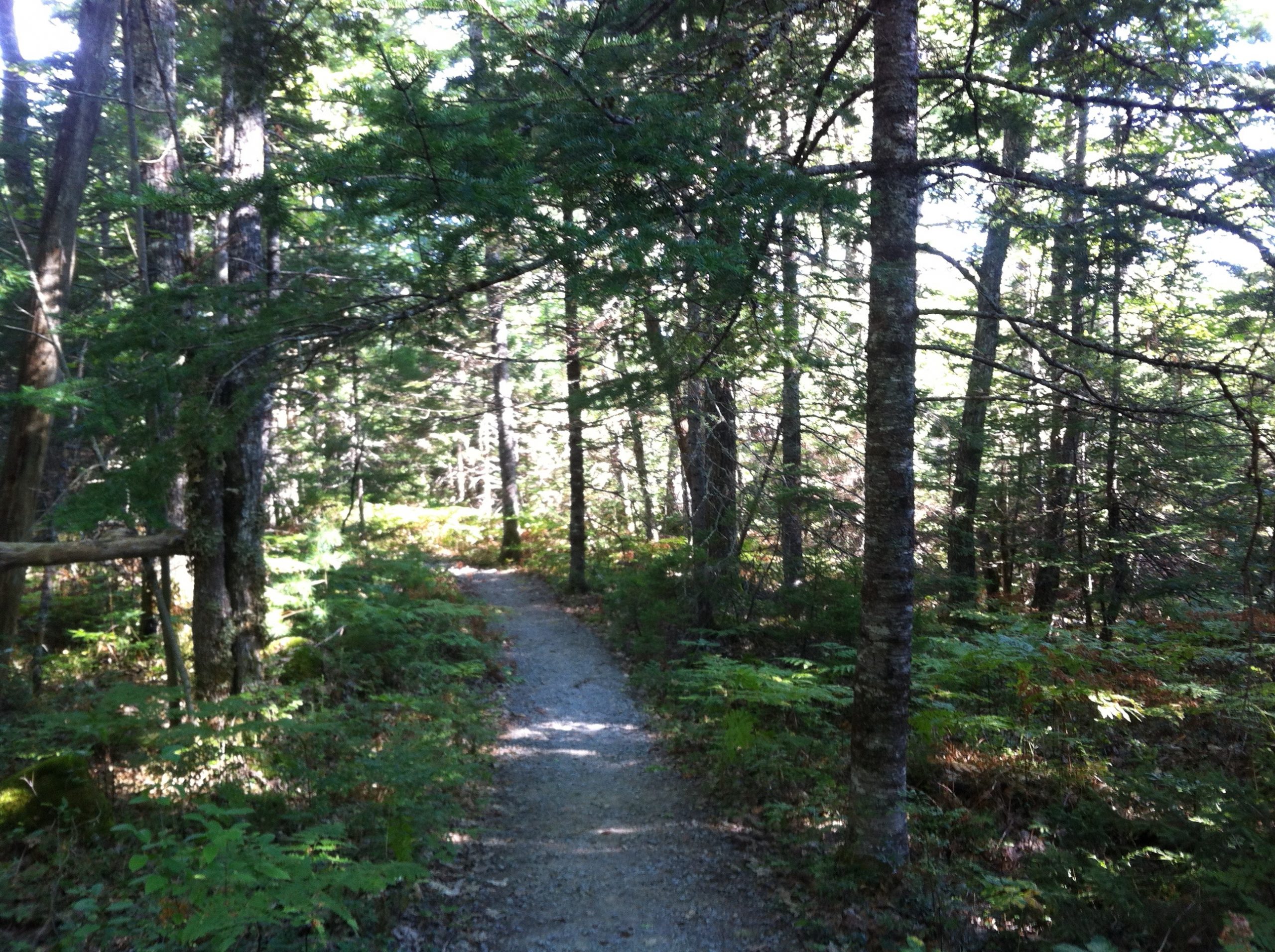
The next location was along the popular Hemlocks & Hardwoods trail. This is a 6km loop trail where on one side you see a number of walk-in camp sites and back country camp site #1. This section of the trail has gentle rolling hills. The other side of the loop is along a long section of boardwalk within a large field of 300-year-old Hemlock trees. This is the oldest hemlock forest still standing in Nova Scotia.
I’ll showcase the second part of the challenge in a few weeks, this will include a trip to the back country and a canoe paddle. Make sure you make plans to attend this event on November 6th 2010! (Facebook Event Listing).
[notice class=”approved”]Originally posted on novascotiablogs.com[/notice]
Current References
- Parks Canada: Kejimkujik National Park and National Historic Site
- Parks Canada: Kejimkujik camping
- Parks Canada: Kejimkujik backcountry
- Parks Canada reservations
- AdventureSmart trip planning
Related Avoiding Chores Links
- Kejimkujik Paddle And Portage Trip Planning Guide
- What To Pack For A Day Hike
- Prepare Satellite Communicator Contacts Before A Trip
- Garmin inReach vs ZOLEO for Canadian Outdoor Users
- Nova Scotia Hiking Trail Guide
- What To Carry For A Two-Hour Hike In Atlantic Canada
- Garmin Maps: Paid vs Free
- How To Prepare Your GPS For A Hike