From the Nova Scotia Hiking Trail Guide
- Guide category: Out & Back Trails
- Length: 9.2 km (return)
- Difficulty: 2C
- Duration: 3 hours
- Book trailhead: N45 00.588 W63 33.316
 Bicycle trail
 Cross-country ski trail
 Parking
 Pets on leash / Dog friendly
 Snow-shoeing
 Stay on trail
 Trailhead
 Litter ReceptacleWinter recreation area
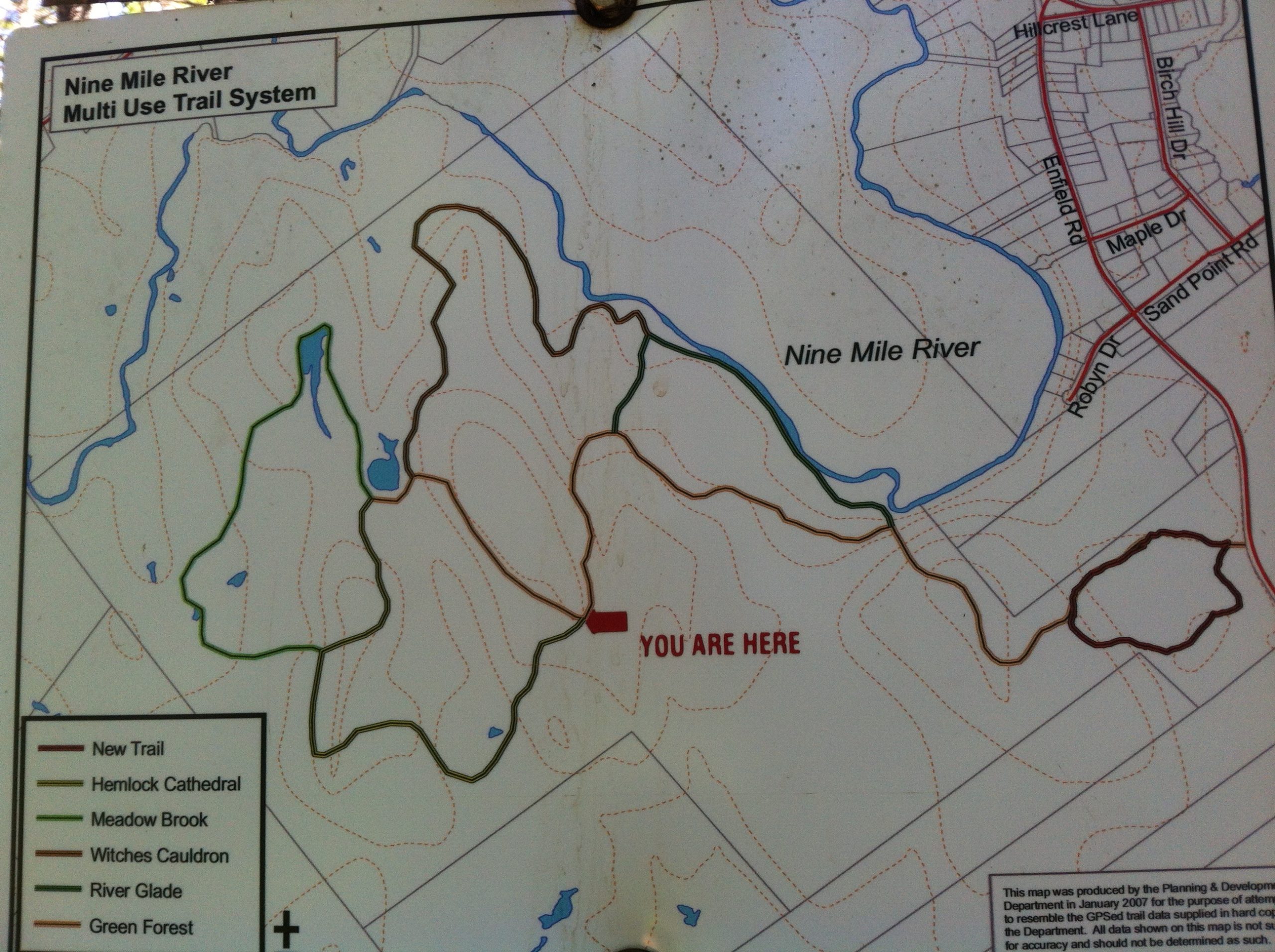
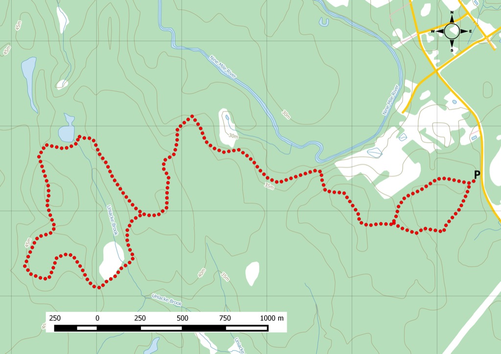
A multi-use trail system in development, offers a mix of terrain and length for many activities.
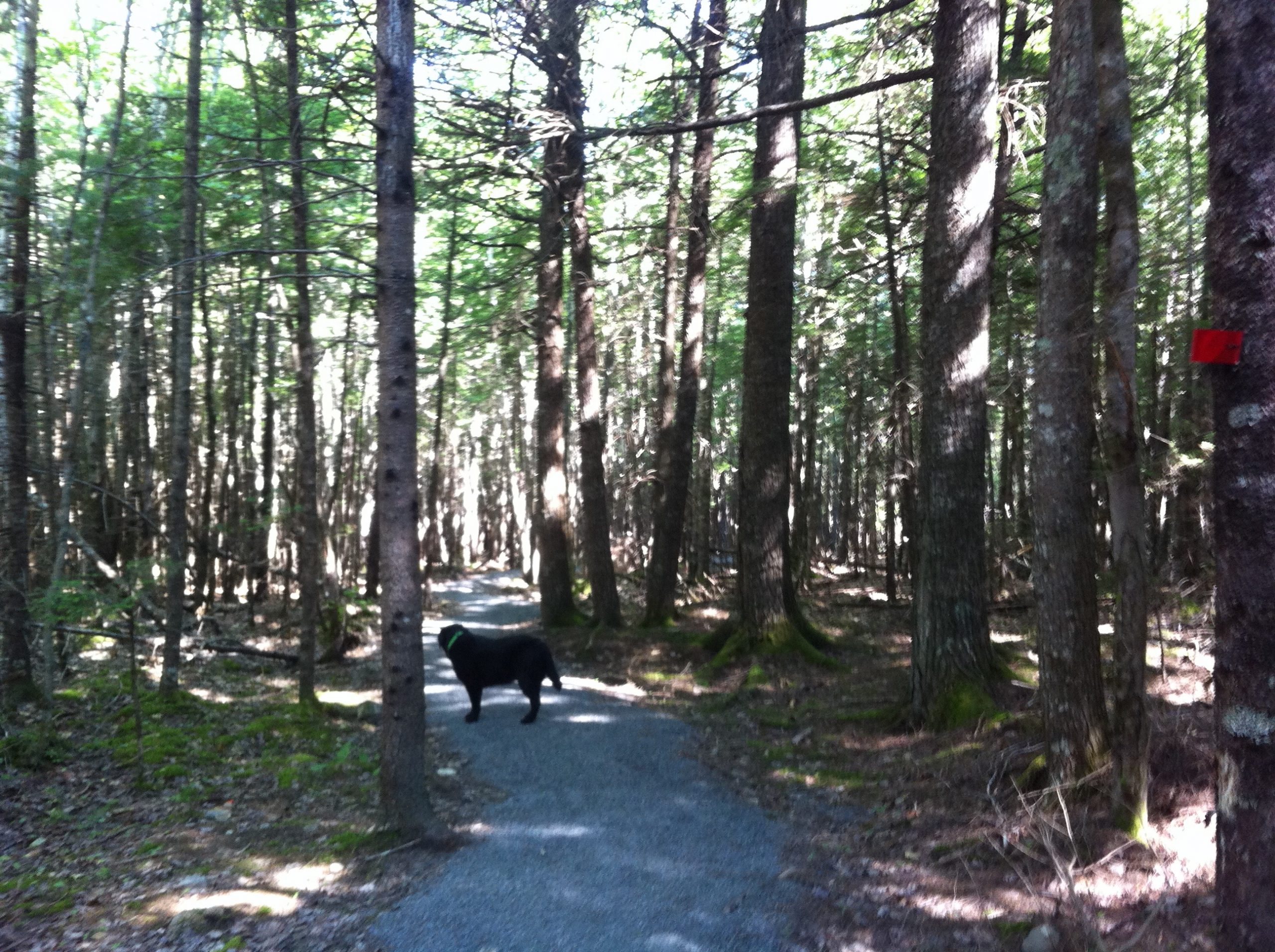
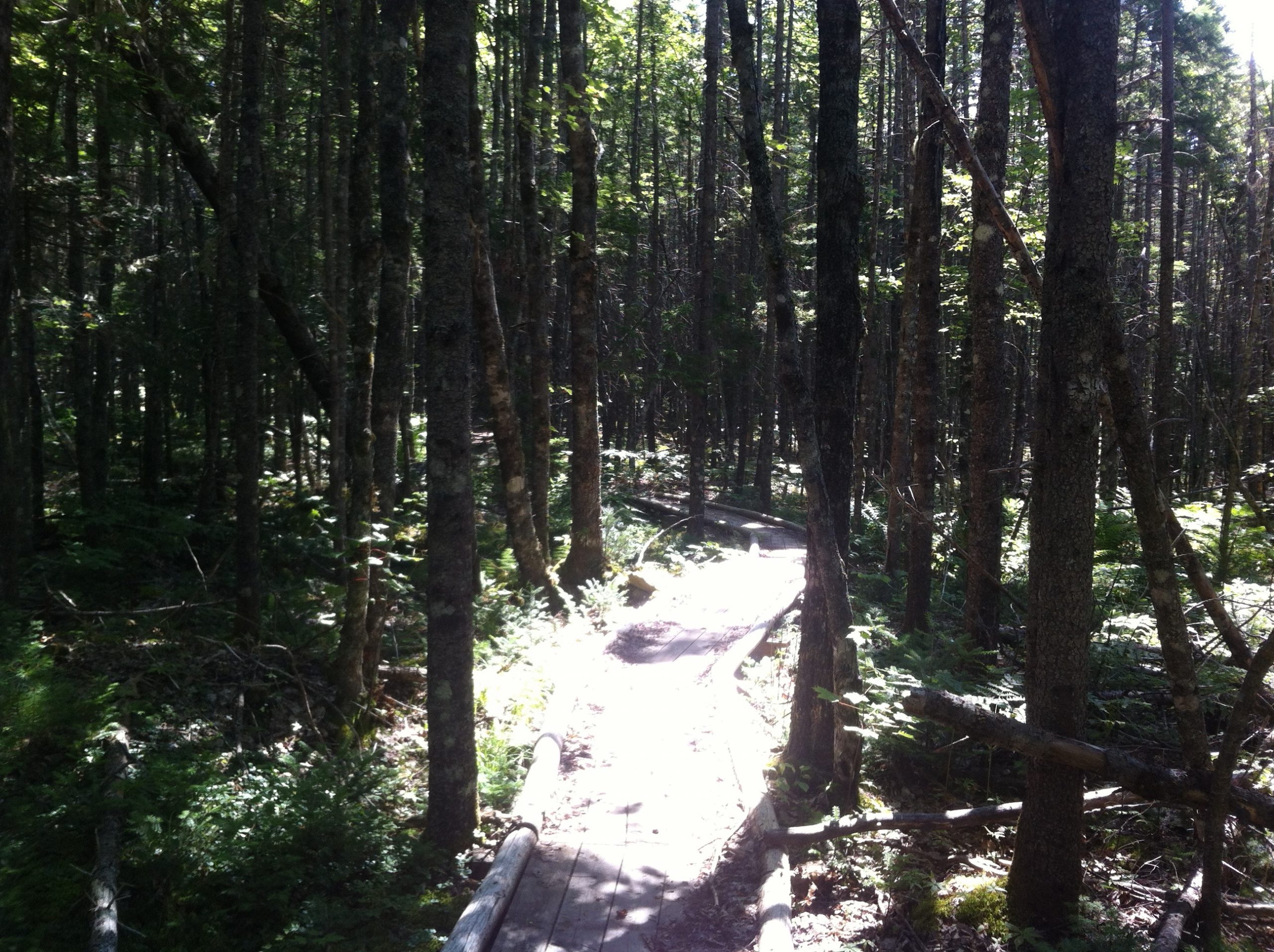
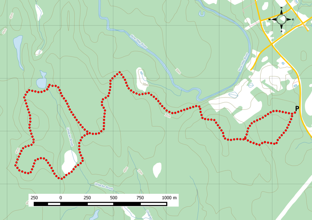
A series of stacked loops close to the community of Enfield that total six trails have been cleared and marked. Leaving the parking lot, the trail is covered in gravel, suitable for taking a quick walk with the dog or stroller. Deeper in, the trail becomes more rugged. Bring boots. The trail can be quite wet and muddy. Expect to see a mix of walkers, hikers, and dogs on a nice day. And watch out for the mountain bikers. Watch this trail on YouTube.
Trip Summary
Trip Stats
9.2km
Distance
5.7mi
Distance
0h 00m
Total time
0.0km/h
Avg speed (incl. stops)
0.0km/h
Moving speed
353m
Elevation gain
364m
Elevation loss
81m
Highest point
Elevation Profile
Terrain & Pace Summary
Hilly Walk
Good rolling terrain with 353 m of gain over 9.2 km (38 m/km). Rewarding underfoot without being punishing.
Leisurely Walk
Easy 0.0 km/h pace — plenty of time to take in the surroundings.
Trails Near This Route
🧭️ Trails from avoidingchores.com within 10 km of the trailhead, sorted nearest first. Distances are straight-line from the trailhead.
9.2 km trail · 0.0 km away
9 Mile River
A series of stacked loops close to the community of Enfield, eventually totalling five as trails are cleared and marked. The portion of the trail closest to…
Trailhead map · Watch on YouTubeNearby Trails
🗺️ The links below open trail maps centred on the trailhead. Always cross-reference with a local club or land manager before riding an unfamiliar trail.
Gaia GPS
Browse trails on Gaia GPS
Opens Gaia GPS topo map centred on the trailhead. Shows recorded routes, public land layers, and trail overlays. Free account required to save routes.
Open Gaia GPS AllTrails
Explore on AllTrails
Searches AllTrails for trails near this location. Useful for reviews, photos, and difficulty ratings.
Open AllTrails Trail Access & Pass Information
⚠️ Trail pass and gate information changes seasonally.
The notes below are based on publicly available information at time of generation — verify before you go.
- Check your provincial / state OHV registration requirements before riding.
- Verify gate and seasonal-closure status with a local ATV club or land manager.
- Some trail networks require a separate trail pass — confirm with the local OHV association.
Trail Photos