From the Nova Scotia Hiking Trail Guide
- Guide category: Culinary Trails
- Length: 7.4 km (return)
- Difficulty: 3C
- Duration: 3 hours
- Book trailhead: N45 33.894 W63 09.186
 Information
 Litter Receptacle
 Pets on leash / Dog friendly
 Trailhead
 Transit access
 Restrooms / Pit Toilet
 Parking
Make this an early morning trek and reward yourself with a pancake breakfast at Sugar Moon Farm.
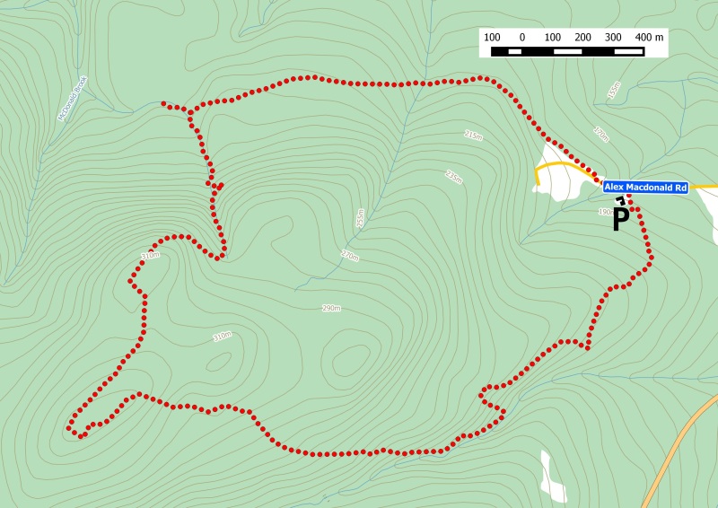
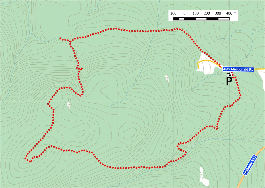
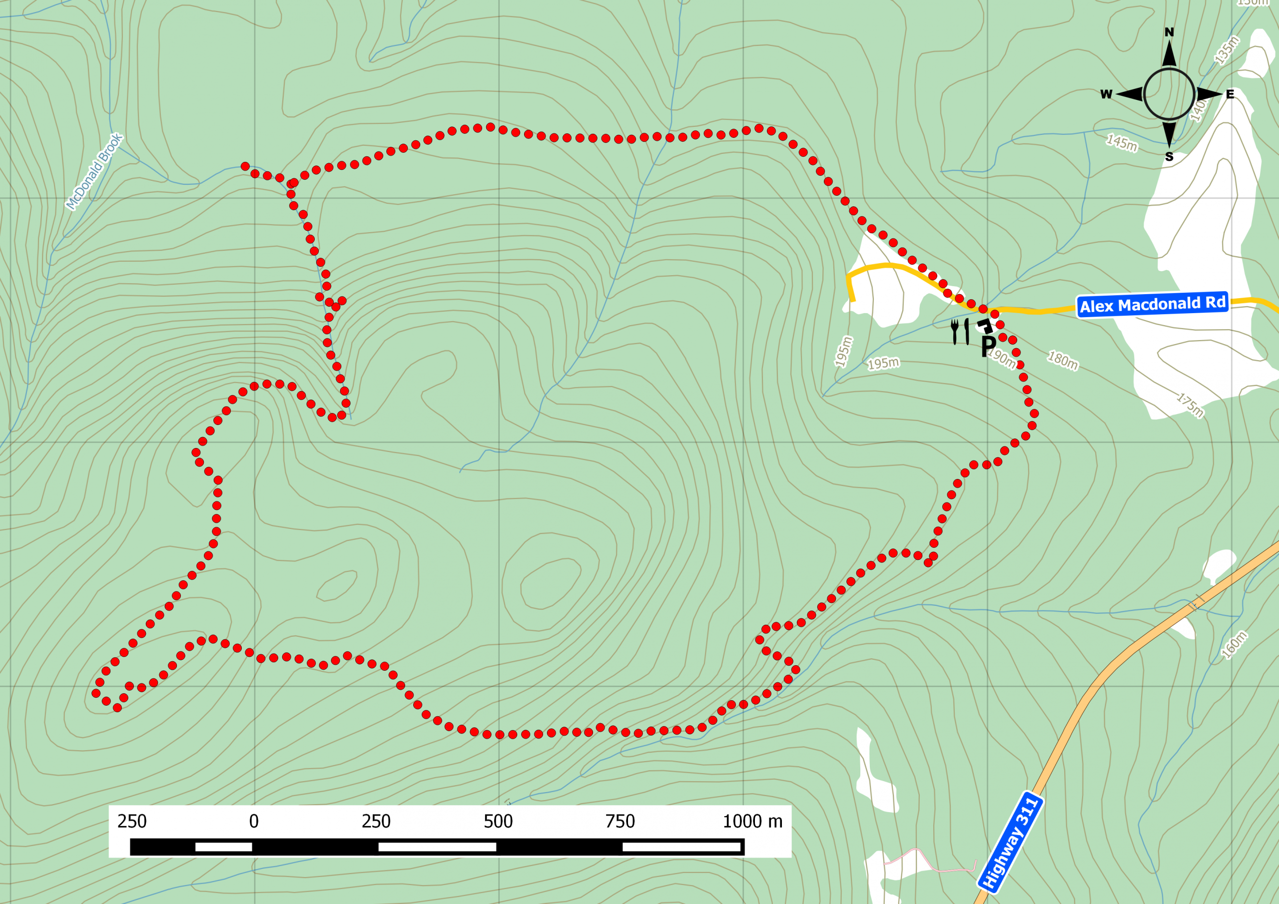
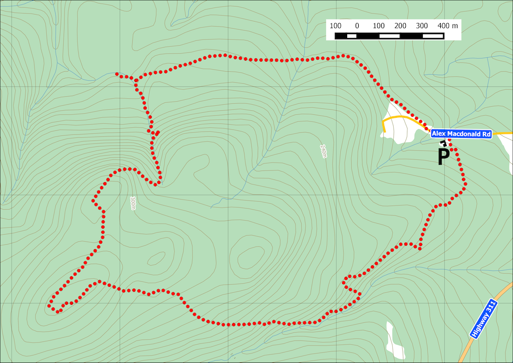
Starting from the parking lot at Sugar Moon Farm , this easy footpath takes you up a moderate incline in either direction. Hike the route clockwise to enjoy Jane's Falls at the end. You will pass a number of interpretive panels and signs of past foundations. The end of the trail is adjacent to the small farm behind Sugar Moon. From here, just follow the dirt road back to the turn off for Sugar Moon’s parking lot. Remember, you’re crossing private lots, so keep pets on leashes. Watch this trail on Youtube.
Trip Summary
Trip Stats
Elevation Profile
Terrain & Pace Summary
A demanding climb with 520 m of elevation gain over 7.4 km (70 m/km). Expect sustained ascent and a real workout.
Easy 2.1 km/h pace — plenty of time to take in the surroundings.
Trails Near This Route
Nearby Trails
Trail Access & Pass Information
- Check your provincial / state OHV registration requirements before riding.
- Verify gate and seasonal-closure status with a local ATV club or land manager.
- Some trail networks require a separate trail pass — confirm with the local OHV association.
Trail Photos
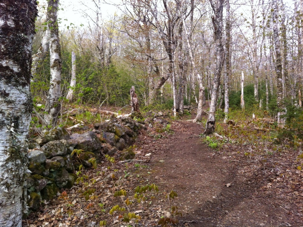
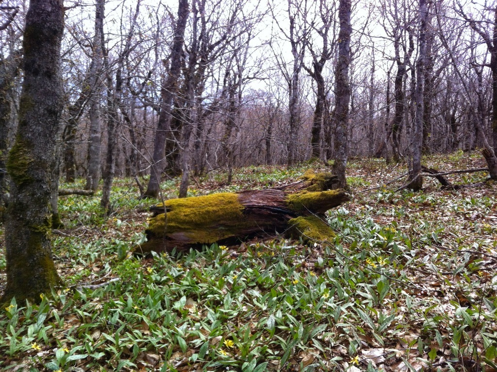
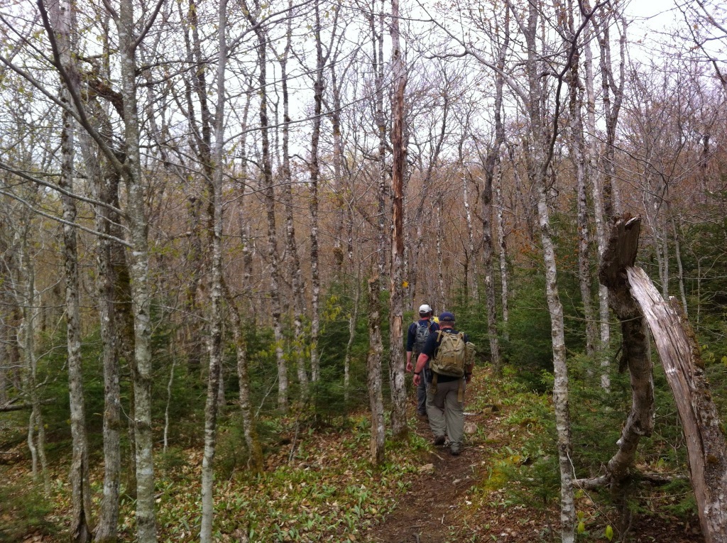
A nice warm day and we decided to drive up to Sugar Moon Farms and hike this popular trail and some pancakes afterwards.
What better way to entice your friends than to propose a hike with pancakes and maple syrup!
It ended up being a nice warm day that we drove up to Sugar Moon Farm [http://sugarmoon.ca/] and hiked this popular trail. This was not far from our last hike in the area: Sandy Cope Loop. Actually, this trail is part of the Cape to Cape Wilderness Trail system under development and is managed by the Cobequid Eco-Trails Society [http://www.cobequidecotrails.ca/trails/trail_details.asp?trailID=1].
We started at the parking lot of Sugar Moon Farm, we took a quick scan of the kiosk and trail map. This was a 6.2km hike which crossed private property. We opted to keep our pets at home for this hike. I opted to wear my Keen Verdi Mid boots which did well under this type of terrain of mostly dirt and tree roots.

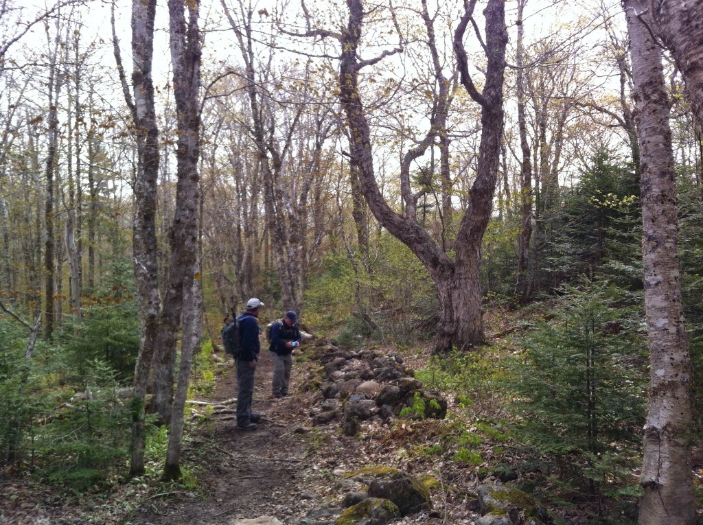
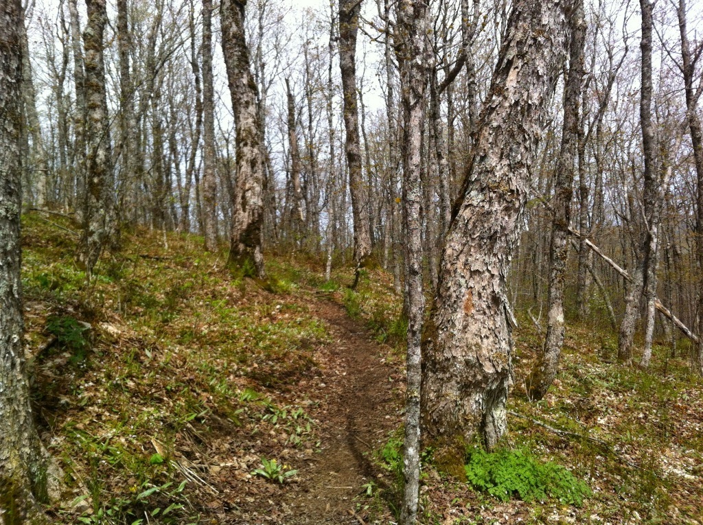
The clockwise loop crossed a few streams and old foundations along the way. The climb wasn’t very hard and the trail was well used. Once we started the final climb to the summit, you could see some great views including Nuttby Mountain, the highest peak in mainland Nova Scotia. The mix of hardwoods and maple trees made the hike very scenic, you could imagine how nice it would be in the fall.
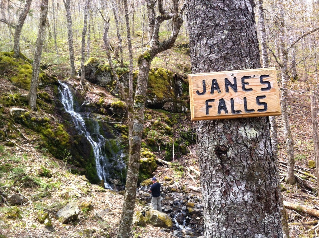
We crossed Jane’s falls on the way down. One of the nicer waterfalls I’ve come across in Nova Scotia. We chose to stop here for a few minutes and have a little snack.
We explored a few more foundations along the way before the trail ended along the road behind Sugar Moon Farm. Then it was a short walk to some delicious pancakes and maple syrup.

I recommend that you come early and hike, then make plans to eat afterwards. You don’t want to hike up that mountain with a full belly. A number of group hikes in the are usually planned throughout, so keep an eye out if you want some company along the way.