
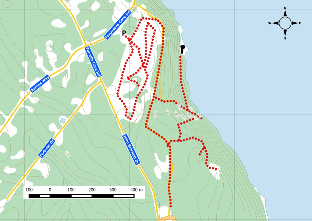
From the Nova Scotia Hiking Trail Guide
- Guide category: Historical Trails
- Length: 6 km (return)
- Difficulty: 1B
- Duration: 2 hours
- Book trailhead: N44 35.841 W63 33.275
 Information
 Litter Receptacle
 Pets on leash / Dog friendly
 Trailhead
 Transit access
 Restrooms / Pit Toilet
Part of the defence to protect Halifax harbour from the 18th century up to World War II.
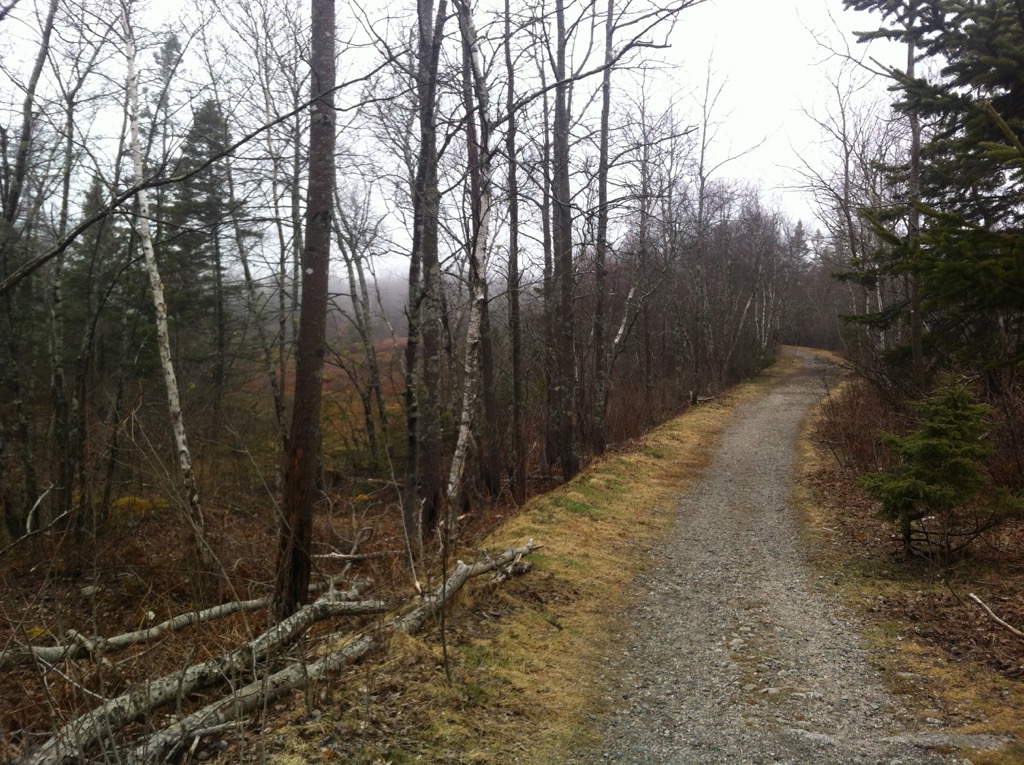
In 1793, York Redoubt became a key military post for the British in their ongoing conflict with the French. With straight lines of sight to both the Halifax Citadel and Fort McNab, York Redoubt was the first line of defence as you approached the Halifax Harbour. Continually upgraded, it continued as the tactical command hub for all harbour defence from war to war. During WWII, it was used as a loading zone for infantry who were shipping off to Europe. York Redoubt remained active until 1956. Today, it’s a popular spot for walkers and dog owners. A number of smaller footpaths are visible off the main trail. Use caution as they are not official offshoots. You might run into granite stone markers down one of these footpaths. Depending on the season, you can park either inside the fortification or outside. You can also reach the site via Bus route 15 . Watch this trail on YouTube.
Trip Summary
Trip Stats
Elevation Profile
Terrain & Pace Summary
A demanding climb with 418 m of elevation gain over 6.0 km (70 m/km). Expect sustained ascent and a real workout.
Easy 3.1 km/h pace — plenty of time to take in the surroundings.
Stops Along the Way
- 15 minMap it
Stops detected where GPS movement paused for 5 minutes or more — likely a viewpoint, snack break, or photo opportunity.
Trails Near This Route
Nearby Trails
Trail Access & Pass Information
- Check your provincial / state OHV registration requirements before riding.
- Verify gate and seasonal-closure status with a local ATV club or land manager.
- Some trail networks require a separate trail pass — confirm with the local OHV association.
Trail Photos
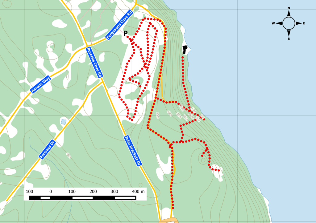
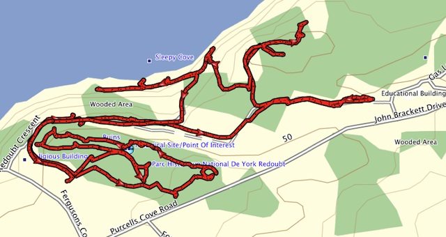
200 Years Of Military Strategy
Starting in 1793, York Redoubt was an important defensive piece of the British during its various conflicts with France. With straight line of sight to both the Halifax Citadel and Fort McNab, York Redoubt was the first line of defence as you approached the Halifax Harbour. Constantly being upgraded, it was used as a loading zone for infantry heading off to Europe during WWI, It was also the tactical command hub for all harbour defences, even during WWII where an anti-submarine net ran across the harbour to Fort McNab.Visiting Today
 Today, this historic site is open year-round with 6kms of hiking trails & exploration within the 75 acre property. Many of the ruins have been conserved and some interpretation signs can give you an idea of the military life during it’s operation. Did you know that the site was active until 1956?
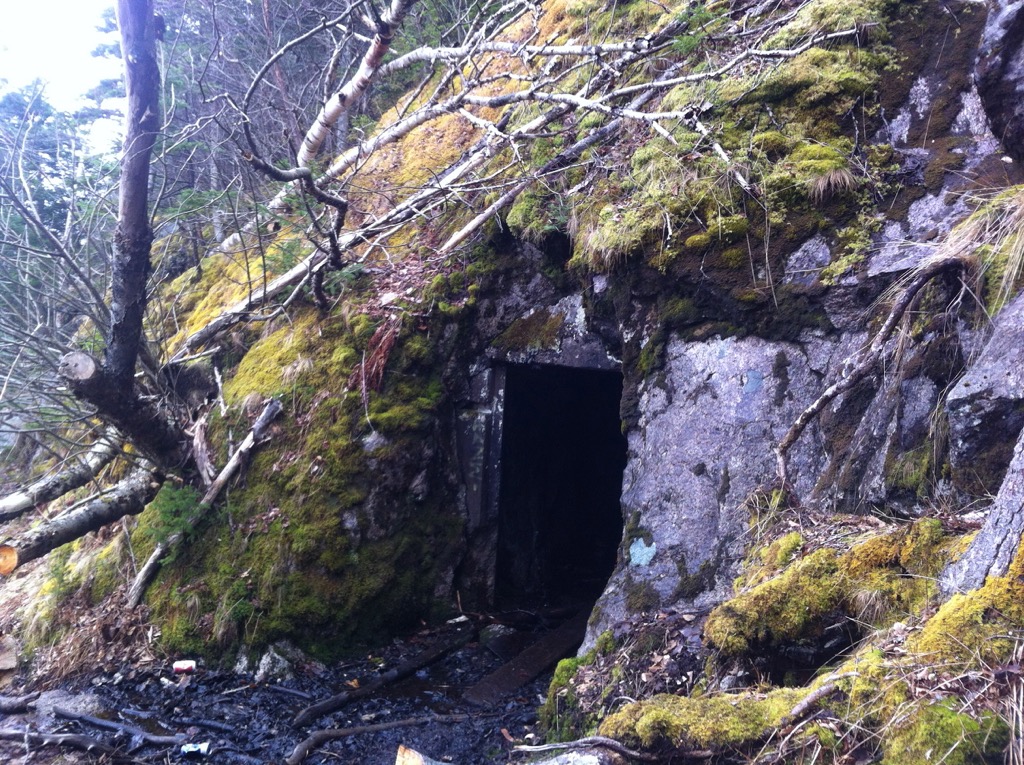
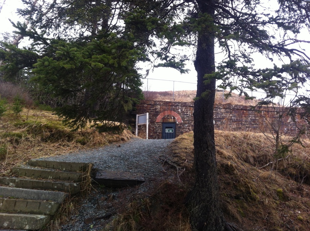
Within the walls, you can walk up and view the WWII command tower, given the season you can enter a number of sites and even tunnels towards the shore. York Shore Battery is a closed area of the site due to the stability of the structures, however you can hike the trails and take a look at the views for sea level. A little more exploration will lead you towards a number of WWI era structures and command posts. Some older structures now have currently plywood covering. Take a peek inside to see original pillars.
A number of smaller footpaths are visible, take caution as they are not official trails. During the walk down a footpath, you might run into granite stone markers. A popular site for walkers and dog owners to enjoy.
Today, this historic site is open year-round with 6kms of hiking trails & exploration within the 75 acre property. Many of the ruins have been conserved and some interpretation signs can give you an idea of the military life during it’s operation. Did you know that the site was active until 1956?
Within the walls, you can walk up and view the WWII command tower, given the season you can enter a number of sites and even tunnels towards the shore. York Shore Battery is a closed area of the site due to the stability of the structures, however you can hike the trails and take a look at the views for sea level. A little more exploration will lead you towards a number of WWI era structures and command posts. Some older structures now have currently plywood covering. Take a peek inside to see original pillars.
A number of smaller footpaths are visible, take caution as they are not official trails. During the walk down a footpath, you might run into granite stone markers. A popular site for walkers and dog owners to enjoy.
Links of interest
- http://www.pc.gc.ca/eng/lhn-nhs/ns/york/index.aspx
- http://adventures.garmin.com/en-US/by/thecyr/york-redoubt/#.UYaThivXlMA
- Find this trail on our iOS app
Recent Trail Notes
Recent trail-related items found during a five-year news and organization scan. Conditions and access can change quickly, so verify details with the park, trail manager, or local association before heading out.