Tag: outdoors
-
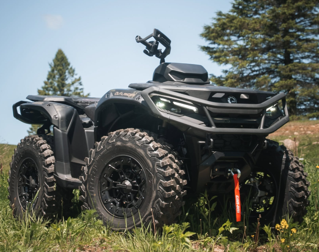
Can-Am Outlander Electric: BRP’s New ATV and What Its Electrification Push Actually Means for Riders
BRP has been talking about electrifying its lineup for a while now. The 2026 Outlander Electric is the part of that plan that actually showed up on a trailer — a battery-powered ATV built on the same in-house Rotax E-Power powerpack BRP already uses in its Ski-Doo and Lynx electric snowmobiles. That last detail matters…
-
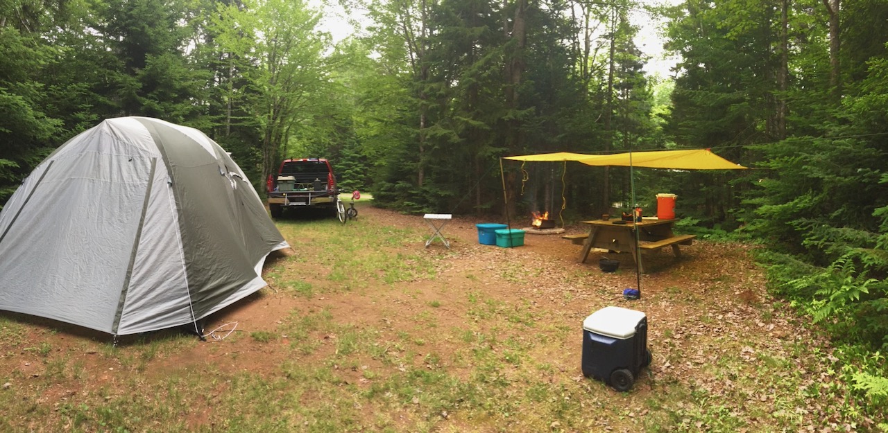
Nova Scotia’s 2026 Wildfire Season: What Every Camper and Hiker Needs to Know Before You Go
Nova Scotia’s provincial parks opened for the season back in May, and if you’ve already booked a site for July or August, here’s the short version: pack like always, but check the burn map before you light anything. Provincial officials have been straightforward about it this year — another dry wildfire season is expected, and…
-
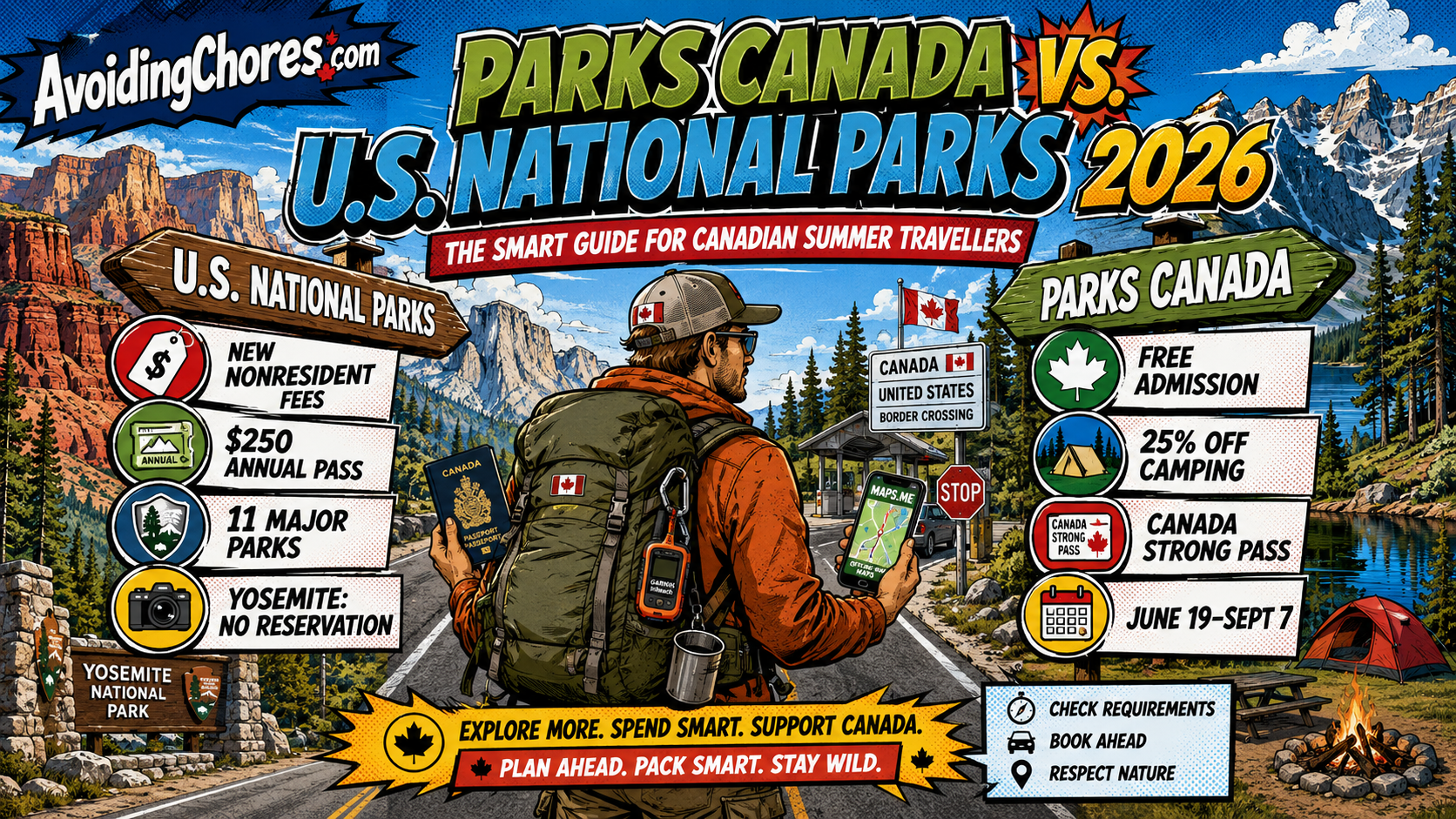
Crossing the Border for a U.S. National Park This Summer? Here’s What Changed in 2026
If you’re a Canadian planning a road trip south this summer — maybe Acadia, Yosemite, Yellowstone, Grand Canyon, Glacier, or one of the other big-name U.S. national parks — the planning math changed in 2026. The short version: some of the busiest U.S. national parks now cost more for non-U.S. residents, the annual pass has…
-
Garmin Trails and Garmin Explore: How to Plan Your Next Adventure with Outdoor Maps+
Updated: August 2025 Garmin has taken another big step toward making outdoor trip planning easier and more connected. With the launch of Garmin Trails in May 2025, hikers, backpackers, and outdoor enthusiasts can now discover curated, vetted routes directly within Garmin’s ecosystem — and seamlessly integrate them into the Garmin Explore app for offline navigation.…
-

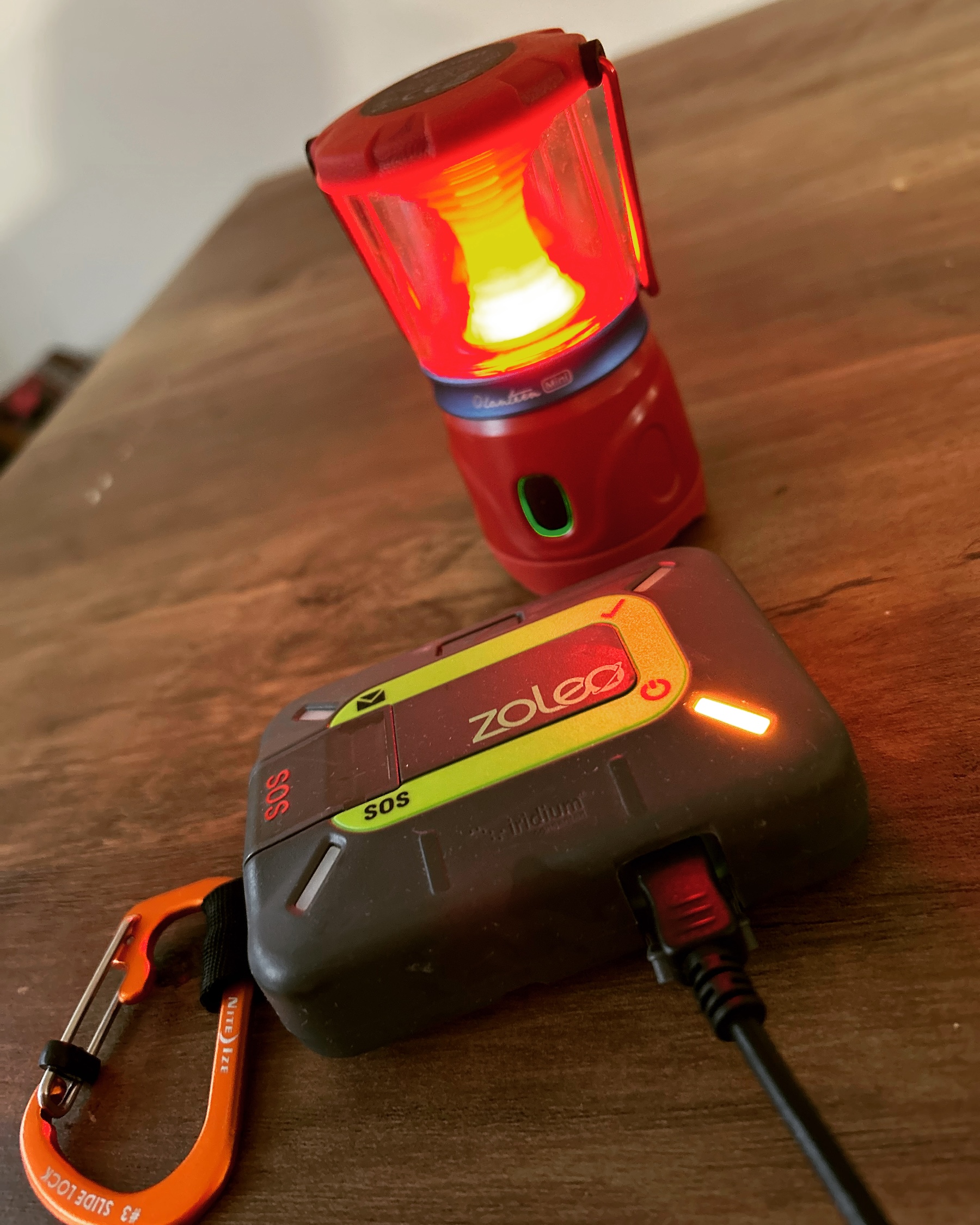
ZOLEO Safety And Tracking Features For Canadian Outdoor Trips
A practical ZOLEO safety and tracking guide for Canadian outdoor trips, including SOS, check-ins, Location Share+ and contact planning.
-

Garmin inReach Messenger Plus: Satellite Communication with Photo & Voice Messaging
Garmin, a leader in GPS technology and outdoor devices, has once again raised the bar with the inReach Messenger Plus, launched on 18 September 2024. Packed with advanced features, this new satellite communicator offers adventurers a more versatile way to stay connected beyond the limits of cell service. Whether trekking through remote wilderness or navigating…
-

Folly Mountain To Nutby Mountain ATV Route Notes
Updated ATV route notes for Folly Mountain and Nutby Mountain, with current access-verification reminders, trip-planning links and preserved original media.
-
Navigating the Year: ZOLEO’s Satellite Communicator Highlights
Ahoy, adventurers! As we set sail into the sunset of another incredible year, it’s time to drop anchor and take a look back at the exciting developments that unfolded in the world of ZOLEO satellite communicators. Grab your compass, because we’re about to navigate through a roundup of news that rocked ZOLEO’s boat in 2023.…
-
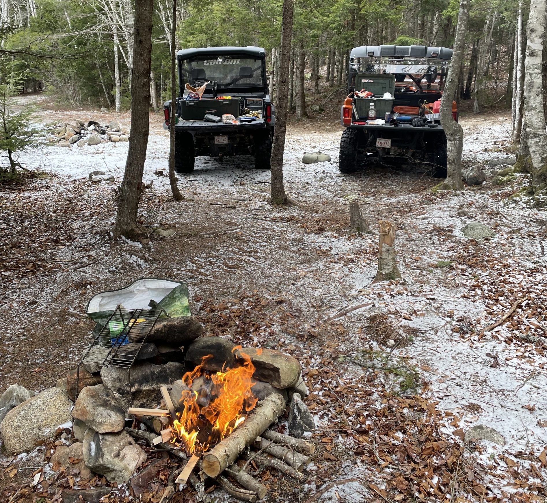
Tatamagouche To Pictou ATV Ride: Planning And Access Notes
Updated ATV route notes for Tatamagouche to Pictou, with current access-verification reminders, trip-planning links and preserved original media.
-
Two Days Riding Mersey Bowater: ATV Trip Planning Notes
Updated ATV route notes for Mersey Bowater area, with current access-verification reminders, trip-planning links and preserved original media.