Last reviewed: July 14, 2026. Verify current trail access, parking, land-use rules and local conditions before visiting.
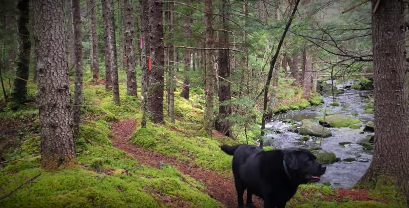
Acacia Valley Hiking Trails are a good example of the kind of local trail system that benefits from a little planning. The outing may be straightforward, but visitors should still confirm access, bring a map and prepare for wet or uneven footing.
Before You Go
- Confirm the trailhead and parking location from a current source.
- Download an offline map or save a GPS track if available.
- Check weather and recent rain.
- Wear footwear suited to roots, mud and uneven ground.
- Tell someone your plan if hiking alone or outside busy hours.
Navigation Notes
Older trail posts can become stale when signs, access points or informal routes change. Use this page as trip inspiration, then confirm the current route before you go. A handheld GPS or phone with offline maps is useful if the trail network has multiple junctions.
What To Carry
- Water and snack.
- Rain or wind layer.
- Offline map or GPS.
- Headlamp.
- Small first aid kit.
- Bug protection in season.
Related AvoidingChores Guides
- How to prepare your GPS for a hike
- Garmin maps: free vs paid options for handheld GPS users
- How to sync tracks on Garmin Explore for inReach users
- How to prepare satellite communicator contacts before a trip
- Camping gear checklist for wet Atlantic Canada weekends
Bottom Line
Treat Acacia Valley as a local hike that still deserves a current access check and a basic navigation plan. That keeps the outing simple without assuming old trail information is still perfect.
Original Acacia Valley Video
This original trail video is preserved from the earlier Acacia Valley Hiking Trails post.
Original Photos