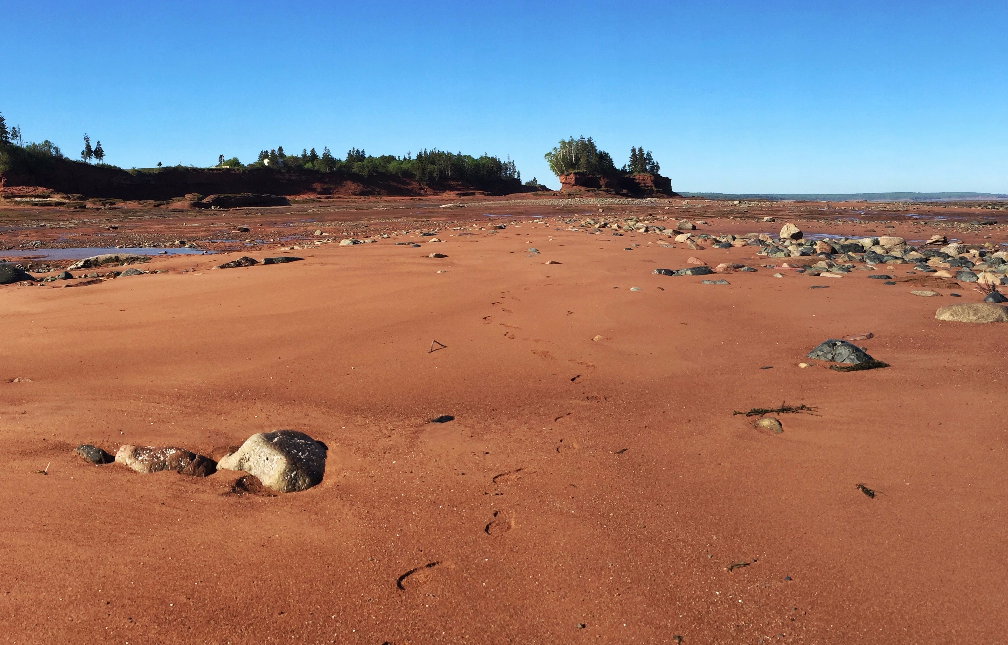
You’ll be able to venture about for a few hours, but once the tide comes in, you absolutely need to make it back to shore. The rising tides along the Bay of Fundy are deceptive and quick. Expect to hike a good 4-5km depending on your route and how far out you are able to go at low tide.
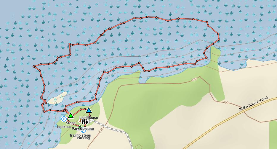
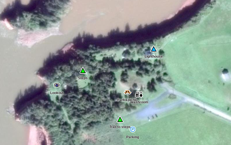
Trip Summary: Burntcoat Head Park
Trip Stats
3.3km
Distance
2.1mi
Distance
1h 41m
Total time
2.0km/h
Avg speed (incl. stops)
2.2km/h
Moving speed
203m
Elevation gain
214m
Elevation loss
34m
Highest point
Elevation Profile
Terrain & Pace Summary
Hilly / Technical
This route packs 203 m of climbing over 3.3 km (61 m/km) — expect frequent ups and downs and sections that demand attention.
Technical / Slow-going
Tight trails, obstacles, or frequent stops kept speeds low — come prepared.
Waypoints & Stops
- Lighthouse (45.31142, -63.80564)
- Lookout2 (45.31095, -63.80743)
- Park&picnic (45.31086, -63.80613)
- Parking2 (45.31038, -63.80603)
- Steps2 (45.31114, -63.80695)
- Trail to steps (45.31051, -63.80626)
- Washroom (45.31083, -63.80591)
Points of Interest near Start / End
⚠️ The businesses below were identified from public mapping data at the time of generation.
Always verify hours and ATV-friendliness before you ride.
Accommodation
Airbnb near trailhead
Search Airbnb for rural properties that welcome trailers.
View on Maps / WebTrail Access & Pass Information
⚠️ Trail pass and gate information changes seasonally.
The notes below are based on publicly available information at time of generation — verify before you go.
- Check your provincial / state OHV registration requirements before riding.
- Verify gate and seasonal-closure status with a local ATV club or land manager.
- Some trail networks require a separate trail pass — confirm with the local OHV association.
Original Photos