Last updated: July 26, 2026. Trail conditions, park advisories and weather can change quickly on the Eastern Shore. Verify current details before hiking.
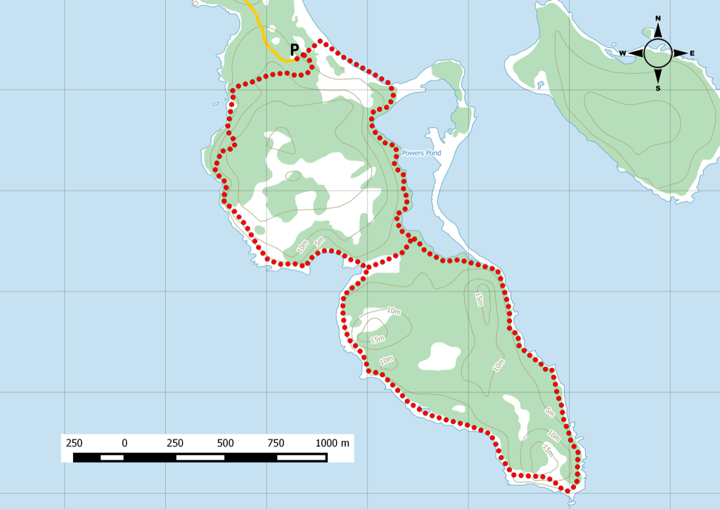
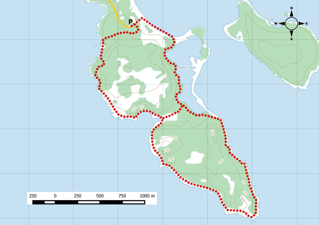
Taylor Head Provincial Park is one of Nova Scotia’s best coastal hiking areas, with interconnected trails, beaches, barrens and exposed shoreline. The preserved route summary below keeps Jim’s recorded trip information, photos, Garmin reference and map content intact.
Current Planning Notes
- Nova Scotia Parks describes about 14 km of interconnected trails and 16 km of coastline at Taylor Head.
- Wear sturdy footwear, bring layers and tell someone where you are going before taking the longer headland routes.
- Dogs should be leashed and garbage packed out.
Related Avoiding Chores Links
- Cape Chignecto Day Use Hiking Trails
- Coastal Hiking In The Fall
- Nova Scotia Hiking Trail Guide
- Garmin Maps: Paid vs Free
- Garmin inReach Messenger How-To Tutorials
- ZOLEO Satellite Communicator Overview
Current References
From the Nova Scotia Hiking Trail Guide
- Guide category: Water Trails
- Length: 8 km (return)
- Difficulty: 2D
- Duration: 4 hours
- Book trailhead: N44 48.442 W62 33.722
 Litter Receptacle
 Pets on leash / Dog friendly
 Trailhead
 Parking
Excellent location to enjoy the rugged, unspoiled Eastern Shore.
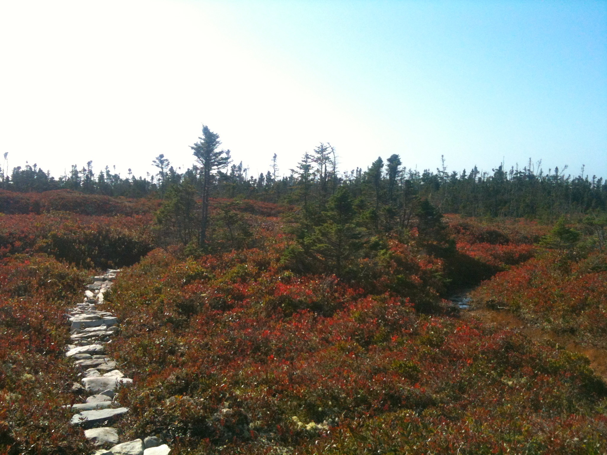
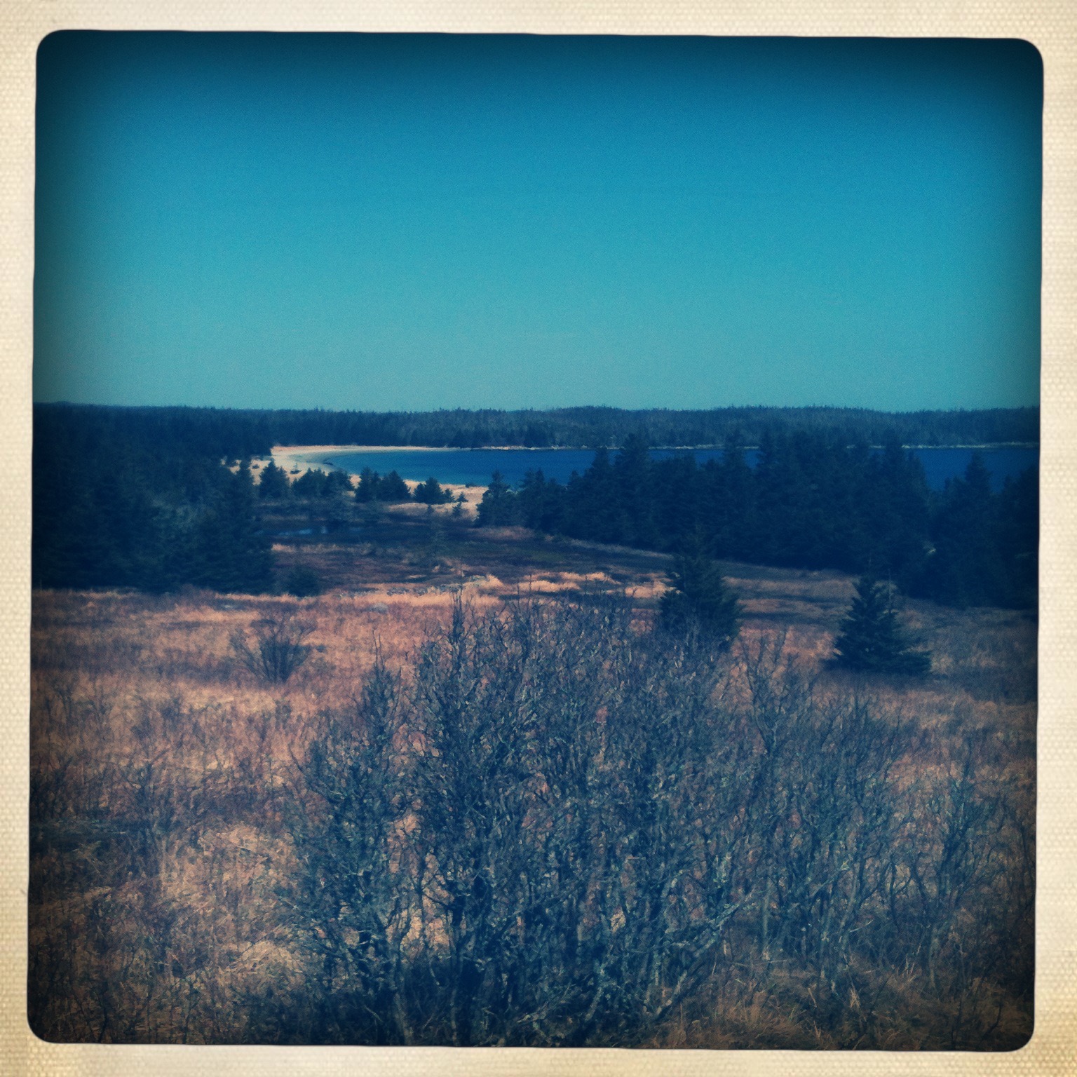
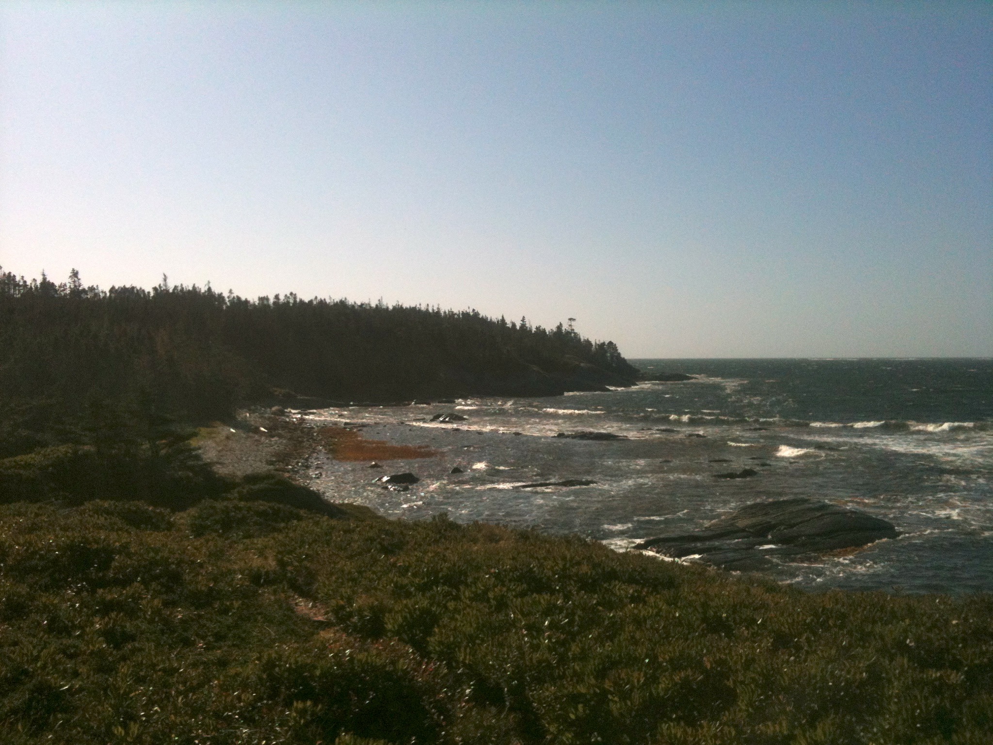
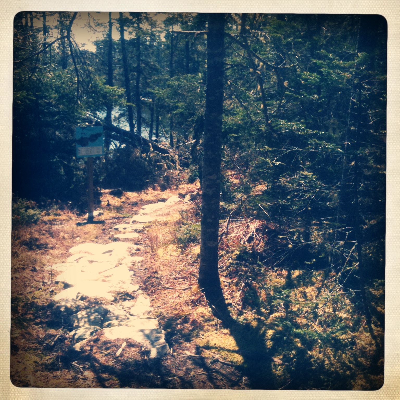
T aylor Head Provincial Park is worth the drive along the Eastern Shore. Not only is there a great beach, there’s a series of shoreline trails ranging from easy to difficult. Combining the Spry Bay & Headland trails will get you the most out of the rugged conditions and backcountry scenery. The park is a natural habitat to all kinds of wildlife visible along the trails. The nonprofit society Friends of Taylor Head offers a number of free events during the year that are especially popular with bird watchers. The gates to the park are open much later than other Provincial Parks for some great late fall hiking trips. Parking is available near the trailhead when the park gates are open. Watch this trail on YouTube.
Trip Summary
Trip Stats
Elevation Profile
Terrain & Pace Summary
A demanding climb with 286 m of elevation gain over 4.4 km (66 m/km). Expect sustained ascent and a real workout.
Easy 2.3 km/h pace — plenty of time to take in the surroundings.
Trails Near This Route
Nearby Trails
Trail Access & Pass Information
- Check your provincial / state OHV registration requirements before riding.
- Verify gate and seasonal-closure status with a local ATV club or land manager.
- Some trail networks require a separate trail pass — confirm with the local OHV association.
Trail Photos