
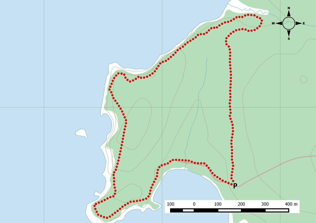
From the Nova Scotia Hiking Trail Guide
- Guide category: Water Trails
- Length: 7 km (return)
- Difficulty: 2C
- Duration: 2.5 hours
- Book trailhead: N45 21.770 W63 54.925
 Trailhead
 Parking
Two trails that offer great views of Five Islands and the Minas Basin.
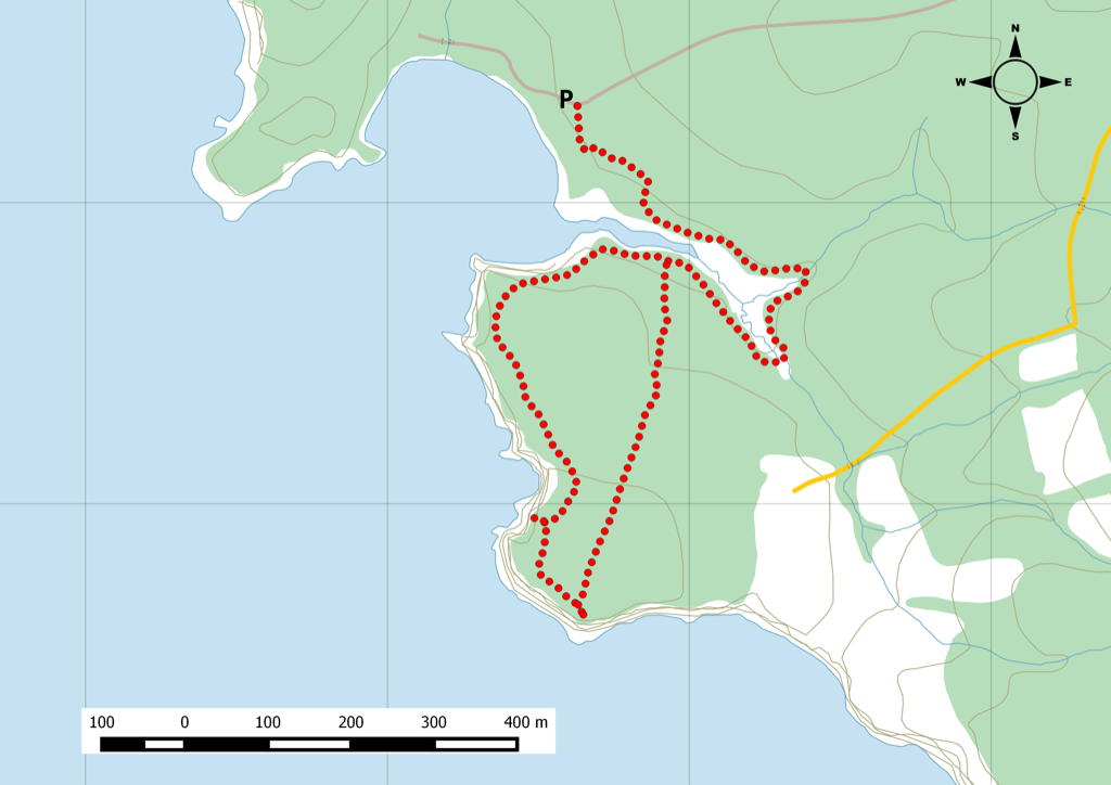
Thomas Cove Coastal Reserve is a coastal trail that looks out over Five Islands Provincial Park. The trail follows a tidal stream and estuary, and offers incredible viewpoints all along the way to the headland. There are also several access points to the beach and rock formations via the Economy trail (north trailhead). The Headland trail starts south from the parking lot. Both trails have sections where there are eroding cliffs. Watch this trail on YouTube.
Trip Summary
Trip Stats
Elevation Profile
Terrain & Pace Summary
Easy going with only 69 m of elevation gain (18 m/km) — suitable for most fitness levels.
Easy 2.8 km/h pace — plenty of time to take in the surroundings.
Trails Near This Route
Nearby Trails
Trail Access & Pass Information
- Check your provincial / state OHV registration requirements before riding.
- Verify gate and seasonal-closure status with a local ATV club or land manager.
- Some trail networks require a separate trail pass — confirm with the local OHV association.
Trail Photos
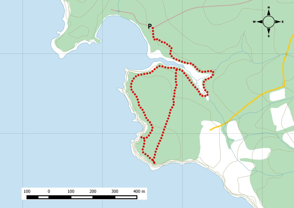
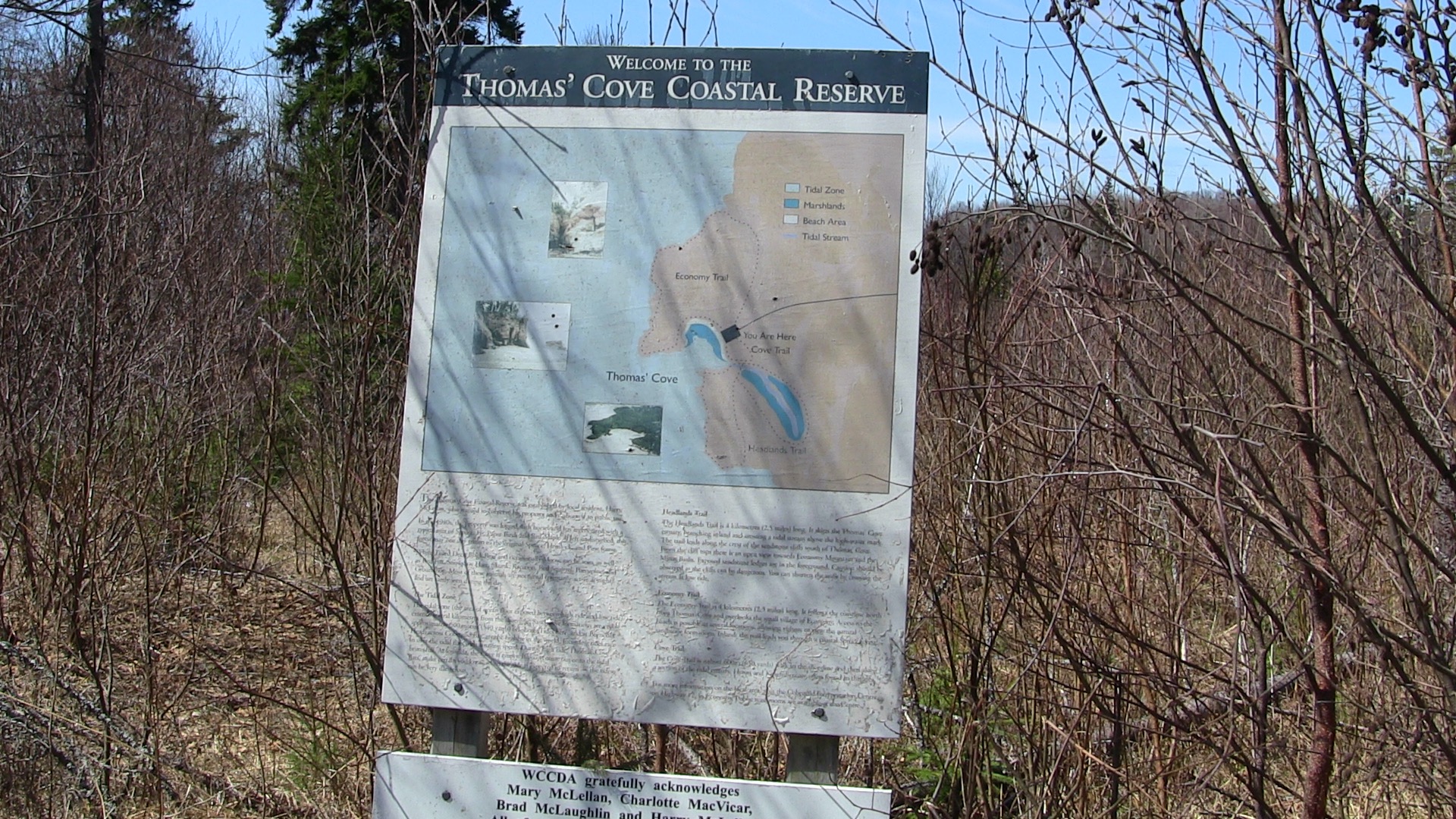
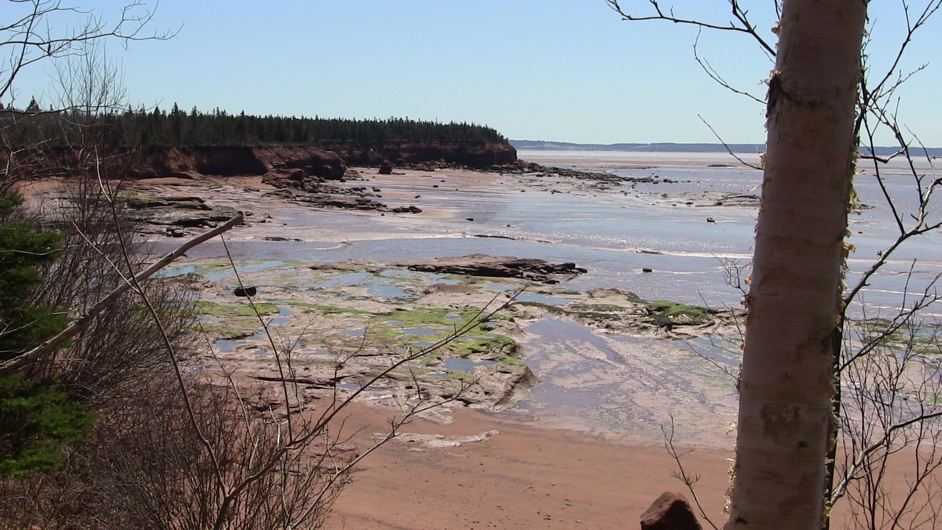
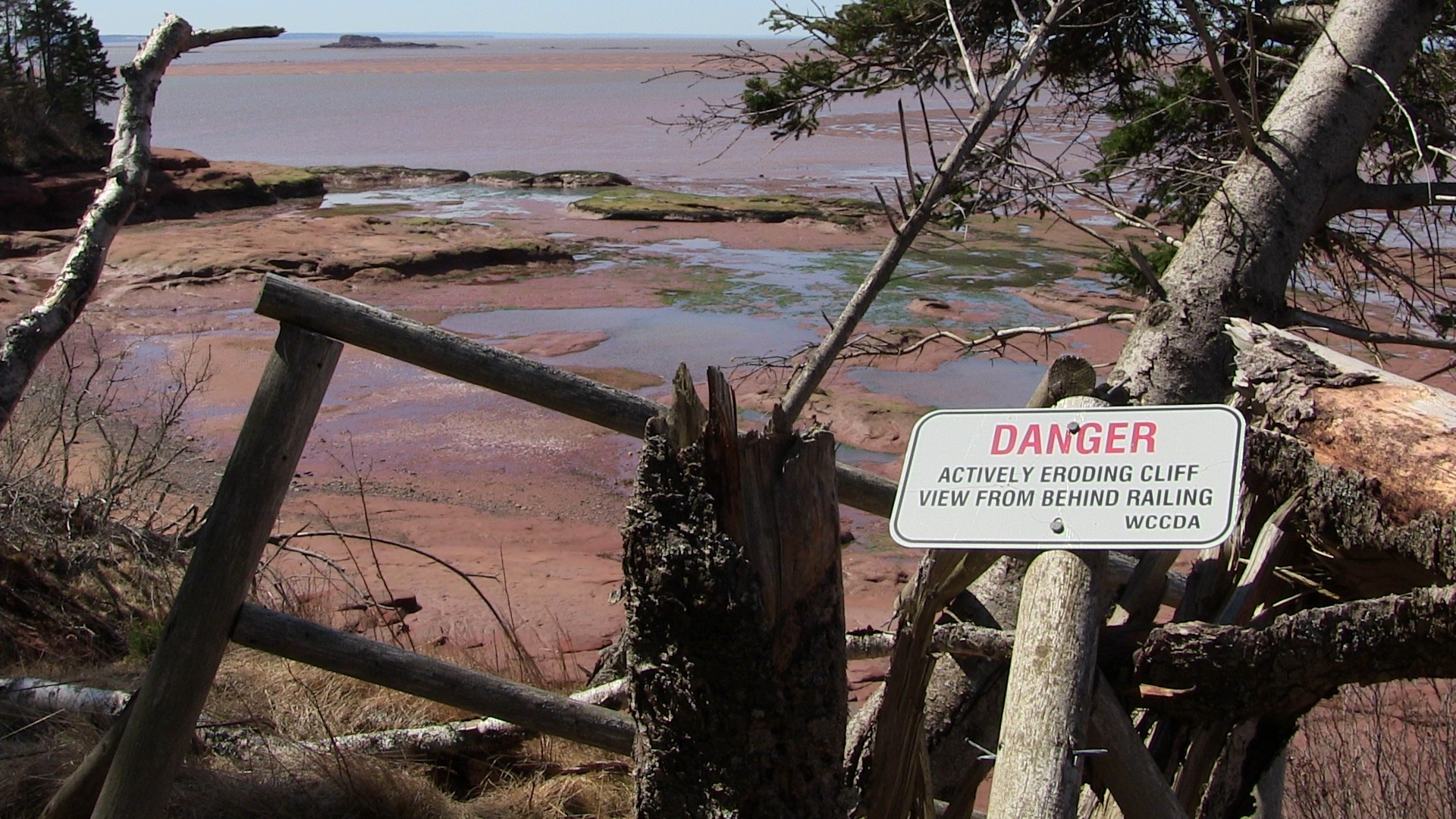
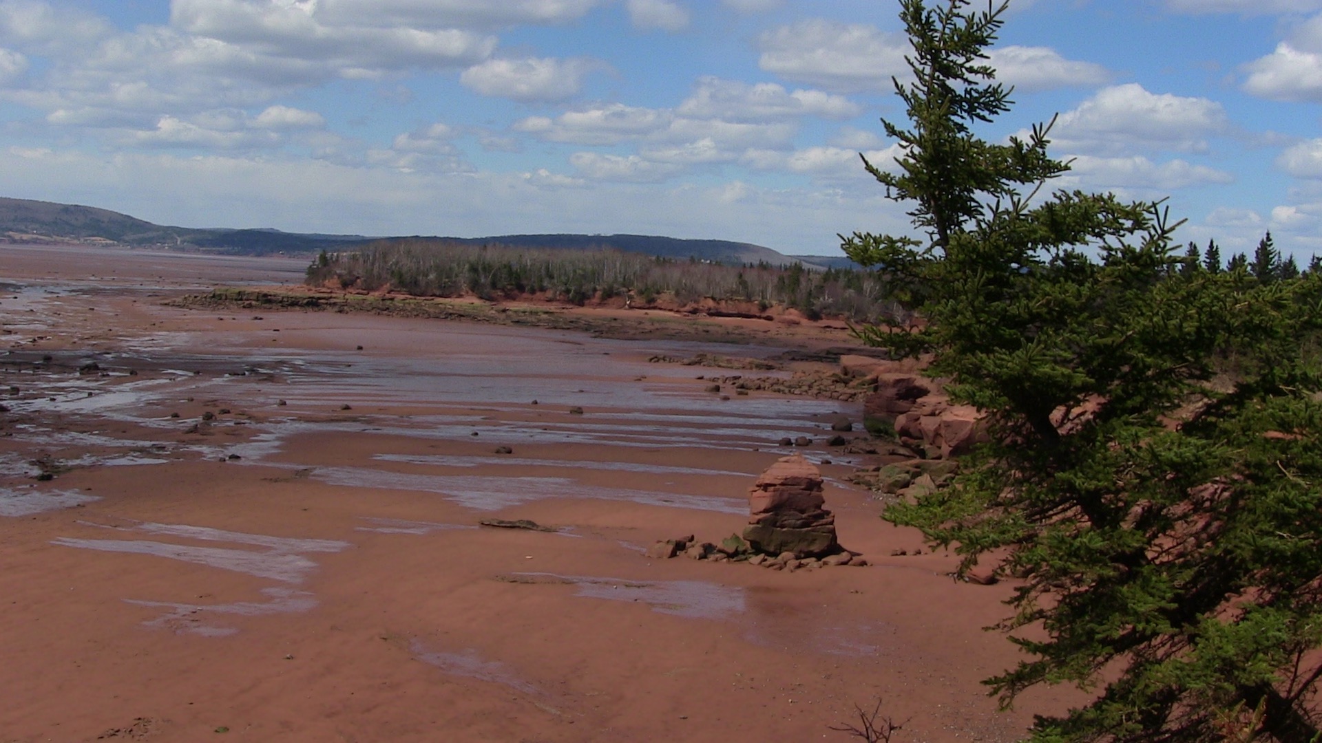
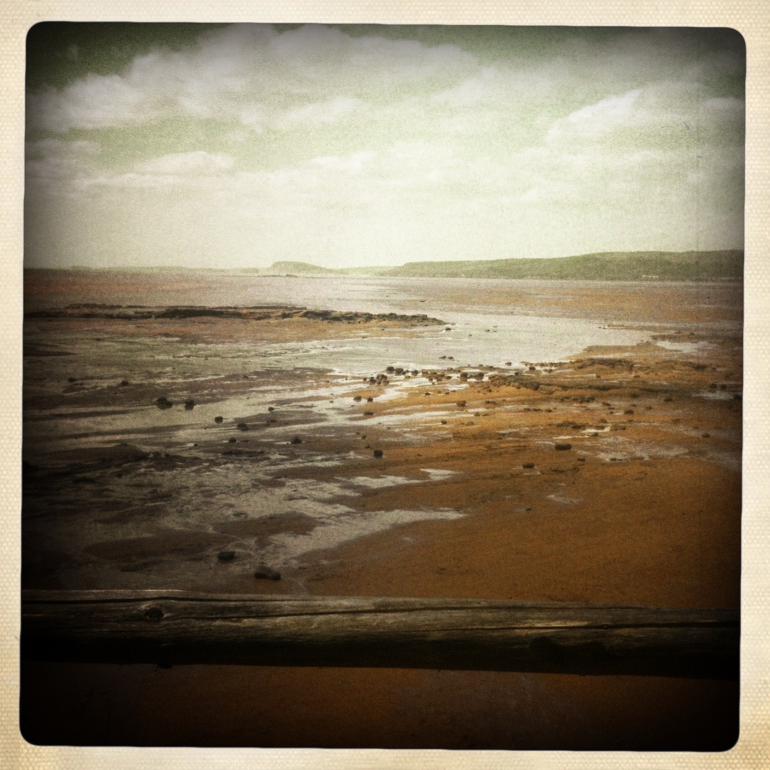
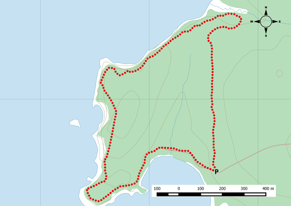
(Originally posted june 9 2012) We hiked 8k within this coastal preserve, just before you reach Five Islands, Nova Scotia. You have two loop to choose from: Headlands & Economy.
Both are about equal distance and both offer great views of the Bay of Fundy. Note that the trails are maintained by two distinct groups and you might find that the trail conditions are not consistent. I would recommend doing the Headlands trail if you don’t want to do the full distance.
What you do get is a nice footpath along the cliffs, I would leave the pets at home for this one. There are a few spots where you can get to the ocean floor. Since this is the Bay of Fundy, time your visit at low tide and you won’t be sorry.
You can download the track files via Garmin Connect when I hiked the trails in 2012:
2021 Update Hike – Headlands Trail
I returned to Thomas Cove after a long 9 year gap. From the parking lot, it looks like some work may be planned as there was a large amount of gravel dumped, but still room for 8-9 vehicles. From my understanding, each trail is on different property owners and Headlands is the better maintained, it certainly was the nicer trail when I was there last time.
The first kilometre give you a chance to get a nice opening view before you start on the out & back portion of the trail. I observed a beautiful blue heron in the marsh area. The boardwalk segments were still in good shape with only a few boards looking a bit old.
Once you get to the footbridge you can now see most of the trail hiked so far. About 400m in you will get to the fork where you will see large evergreen cut and one piece looks like a bench. From here you can start the loop section of the trail. One thing I noticed was how much growth occurred along a segment where I remembered a barren forest section. Spruce and maple started to take over and will be a nice section in a few years.
The view point along the coast are still in pretty good shape but mid you that coastal erosion has been eating in and a reminder to keep your dogs leashed when getting around the higher portion of the loop.
Fall is my favorite time of year to hike and my hike was during peak fall foliage season. Blue skies and warm air, it is a great hike to do with a group.