Litter ReceptaclePets on leash / Dog friendlyTrailheadParking
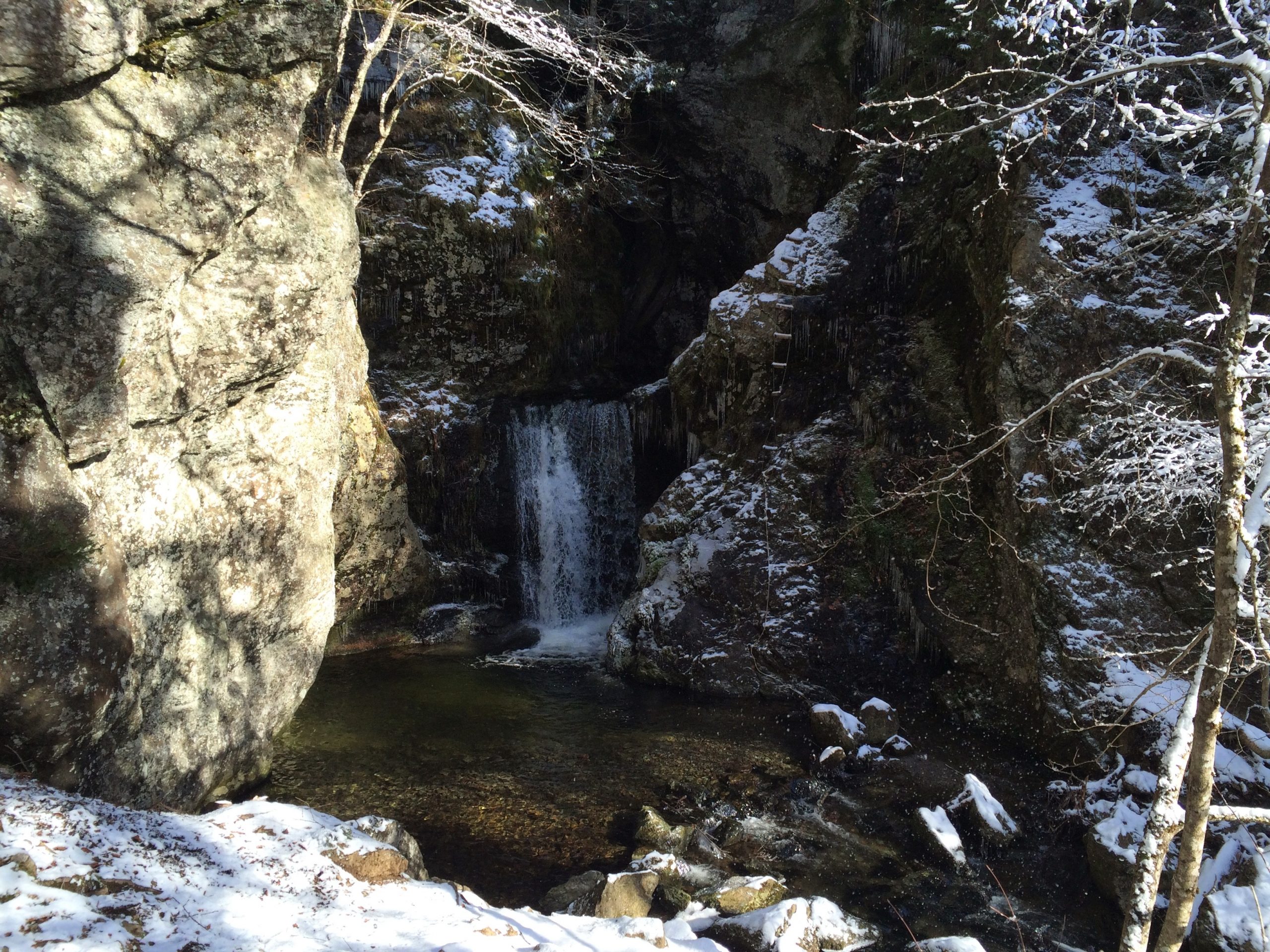
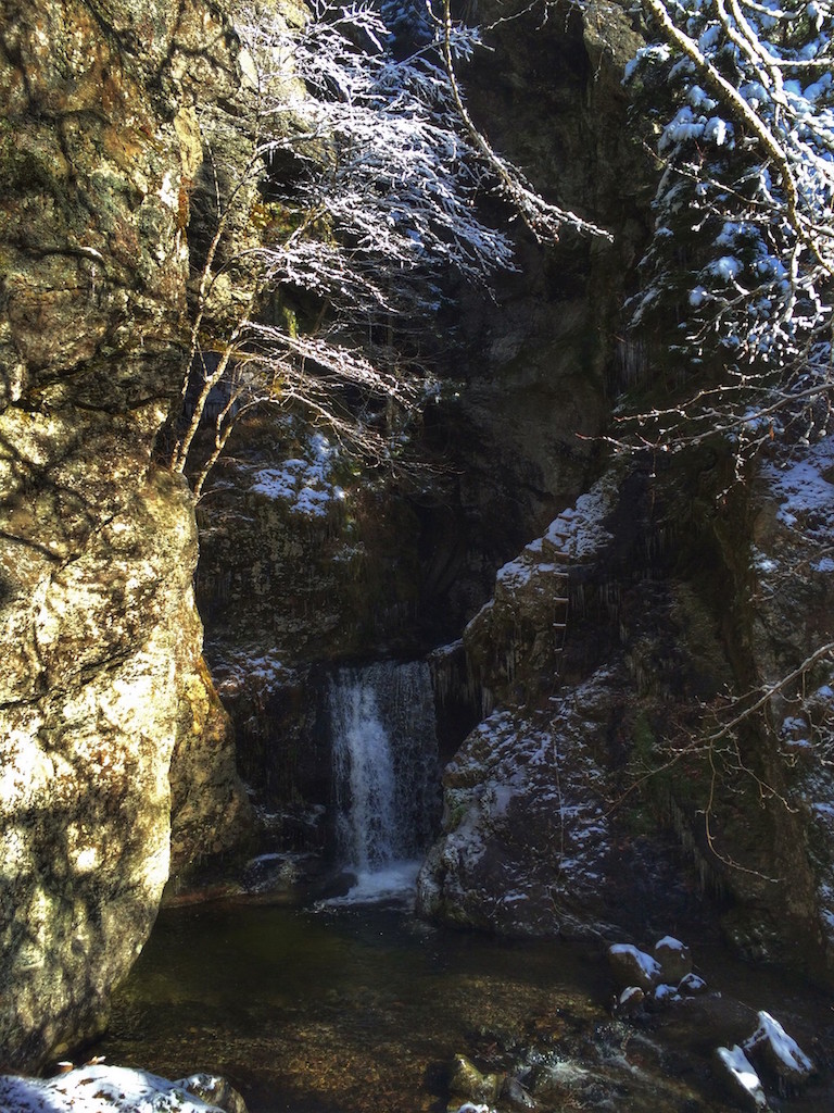
A popular swimming hole at the base of a waterfall.
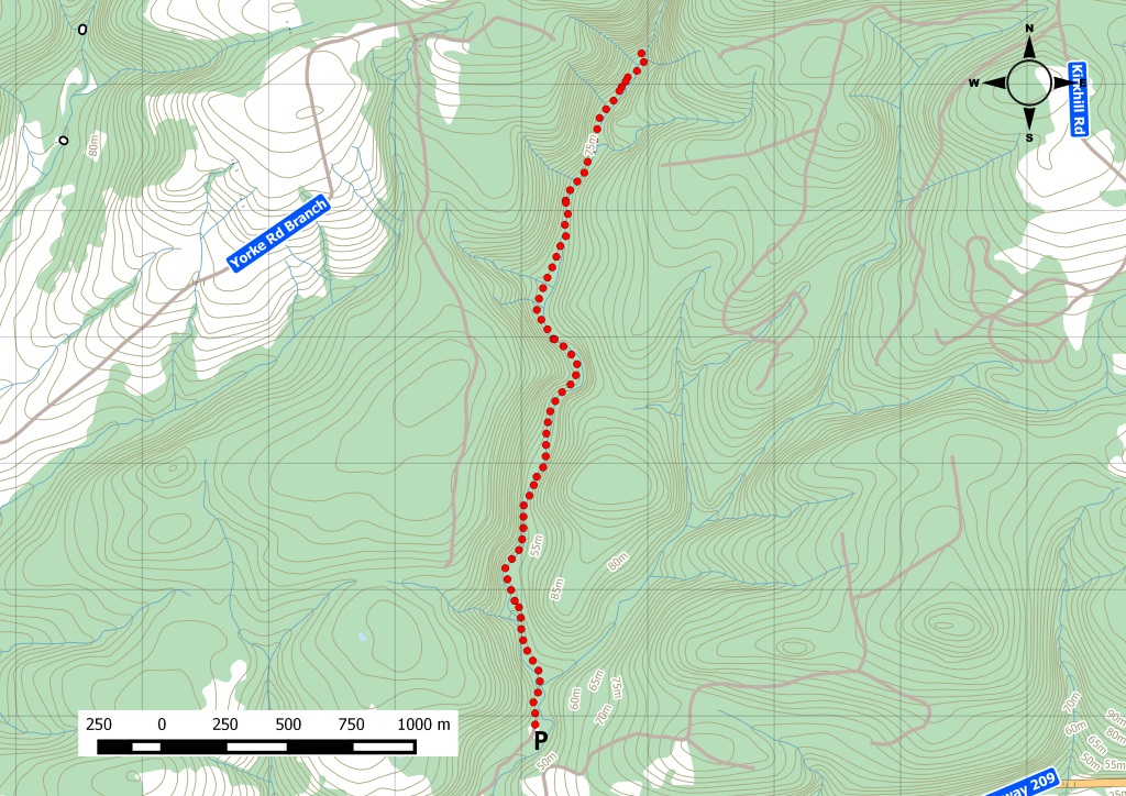
This is a short, fun hike along the North Branch Diligent River valley in the beautiful hills of Parrsboro. The trail follows a small stream upriver from the Bay of Fundy. The reward at the end of the trail is the lovely Ward’s Falls. In the spring, at its strongest, the falls gushes into the small, beautiful gorge it's created in the rock over time. Erosion + time = awesome swimming hole. Go on. Take a dip. It’s amazing after the hike. Along the trail there’s also a picnic table, a number of footbridges, and an outhouse. I didn’t look inside. You’ll have to take your chances. Watch this trail on YouTube. Parking is available at the trailhead.
Trip Summary
Trip Stats
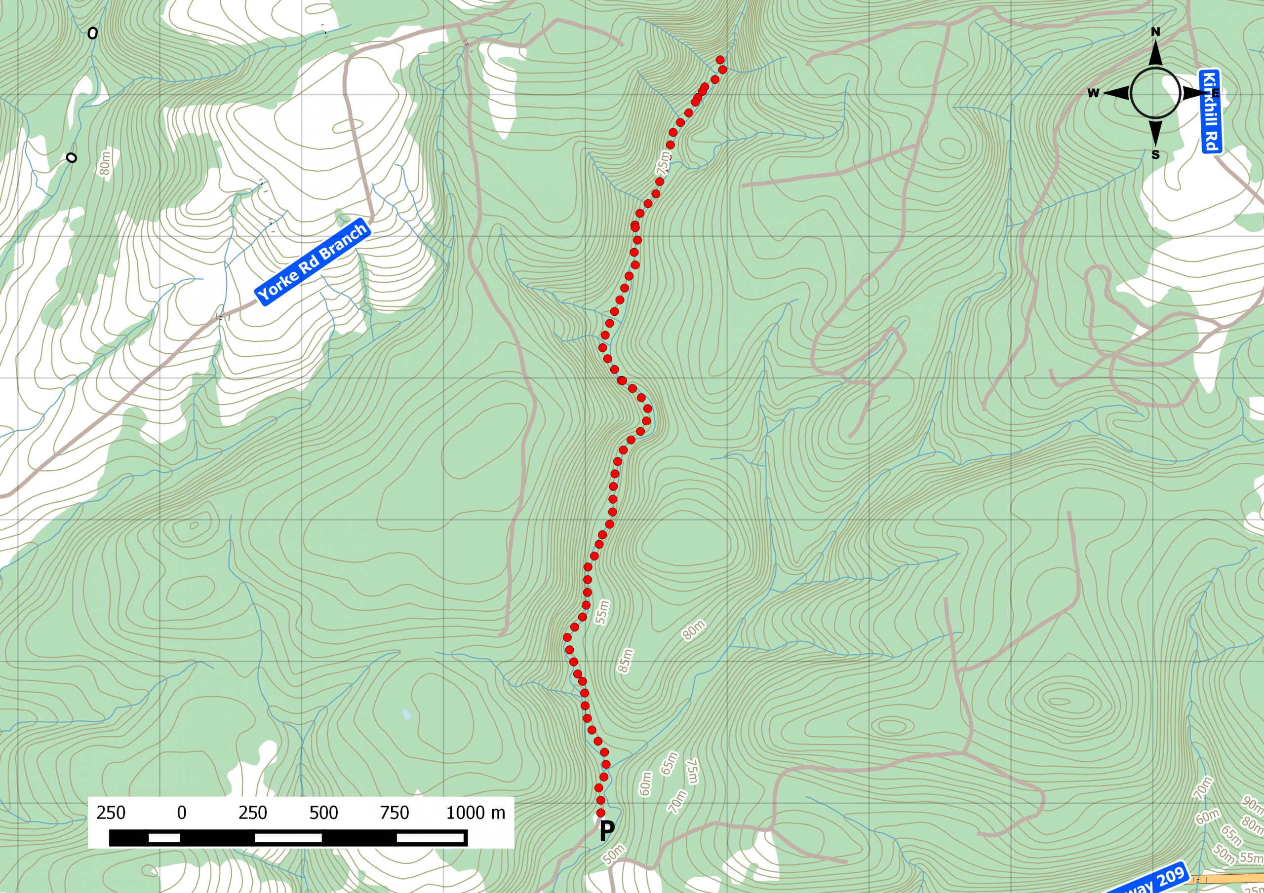
2.9km
Distance
1.8mi
Distance
0h 59m
Total time
2.9km/h
Avg speed (incl. stops)
4.2km/h
Moving speed
103m
Elevation gain
71m
Elevation loss
82m
Highest point
Elevation Profile
Terrain & Pace Summary
Hilly Walk
Good rolling terrain with 103 m of gain over 2.9 km (36 m/km). Rewarding underfoot without being punishing.
Leisurely Walk
Easy 4.2 km/h pace — plenty of time to take in the surroundings.
Trails Near This Route
🧭️ Trails from avoidingchores.com within 10 km of the trailhead, sorted nearest first. Distances are straight-line from the trailhead.
2.9 km trail · 0.0 km away
Wards Falls
A short, fun 7km hike along the North Branch Diligent River valley in the beautiful hills of Parrsboro. This is another short, pleasant hike along a small…
🗺️ The links below open trail maps centred on the trailhead. Always cross-reference with a local club or land manager before riding an unfamiliar trail.
Gaia GPS
Browse trails on Gaia GPS
Opens Gaia GPS topo map centred on the trailhead. Shows recorded routes, public land layers, and trail overlays. Free account required to save routes.
⚠️ Trail pass and gate information changes seasonally.
The notes below are based on publicly available information at time of generation — verify before you go.
Check your provincial / state OHV registration requirements before riding.
Verify gate and seasonal-closure status with a local ATV club or land manager.
Some trail networks require a separate trail pass — confirm with the local OHV association.
Trail Photos
Wards Falls is very common trail that hikers around these parts bring up as they discuss their most favorite hikes. So after a early snow fall in the area, I decided that it was finally time to drive up to Parrsboro and check out the sights!
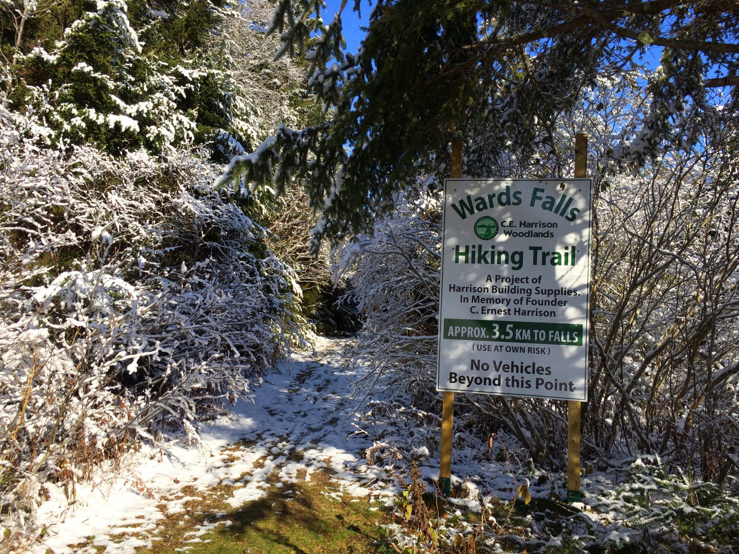
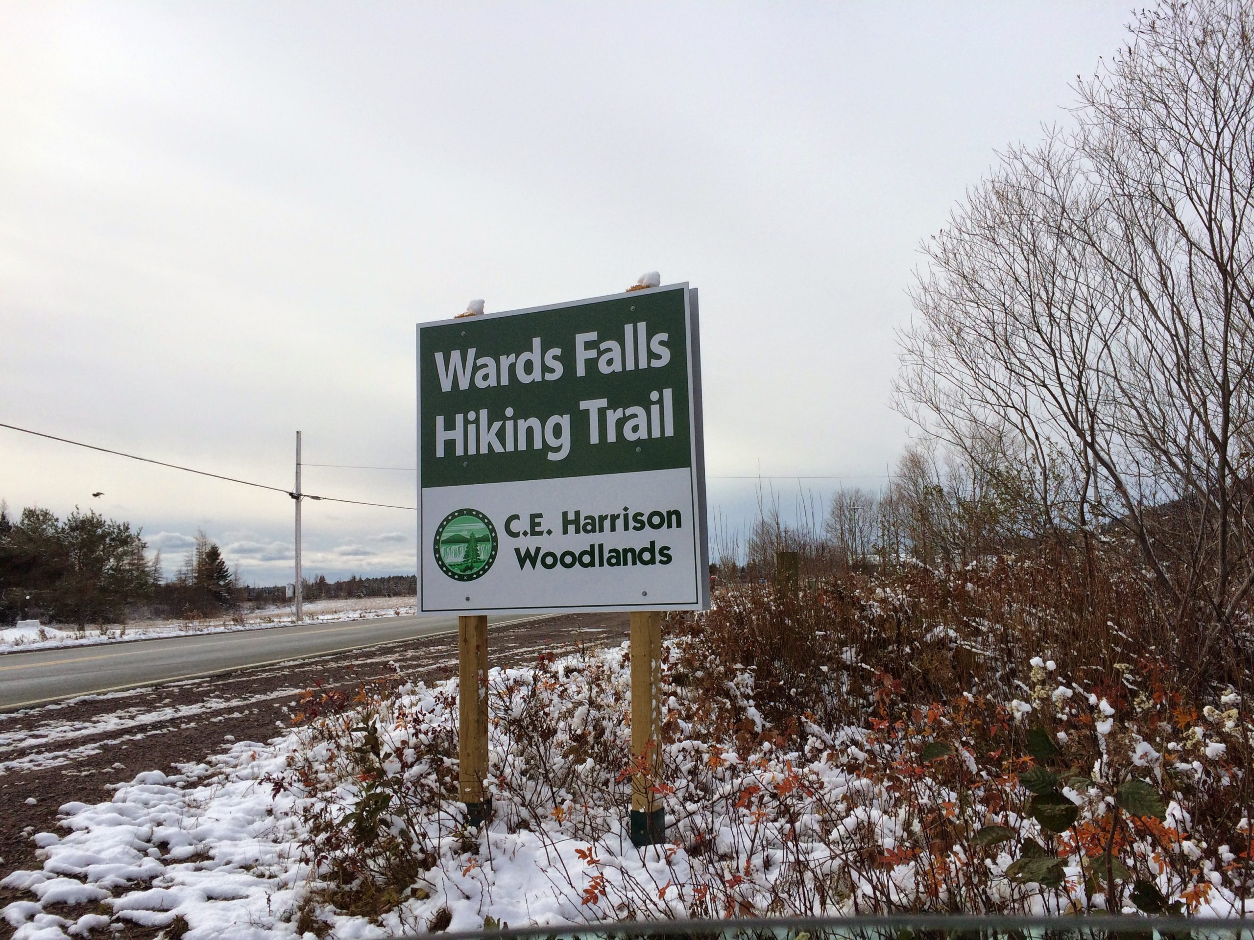
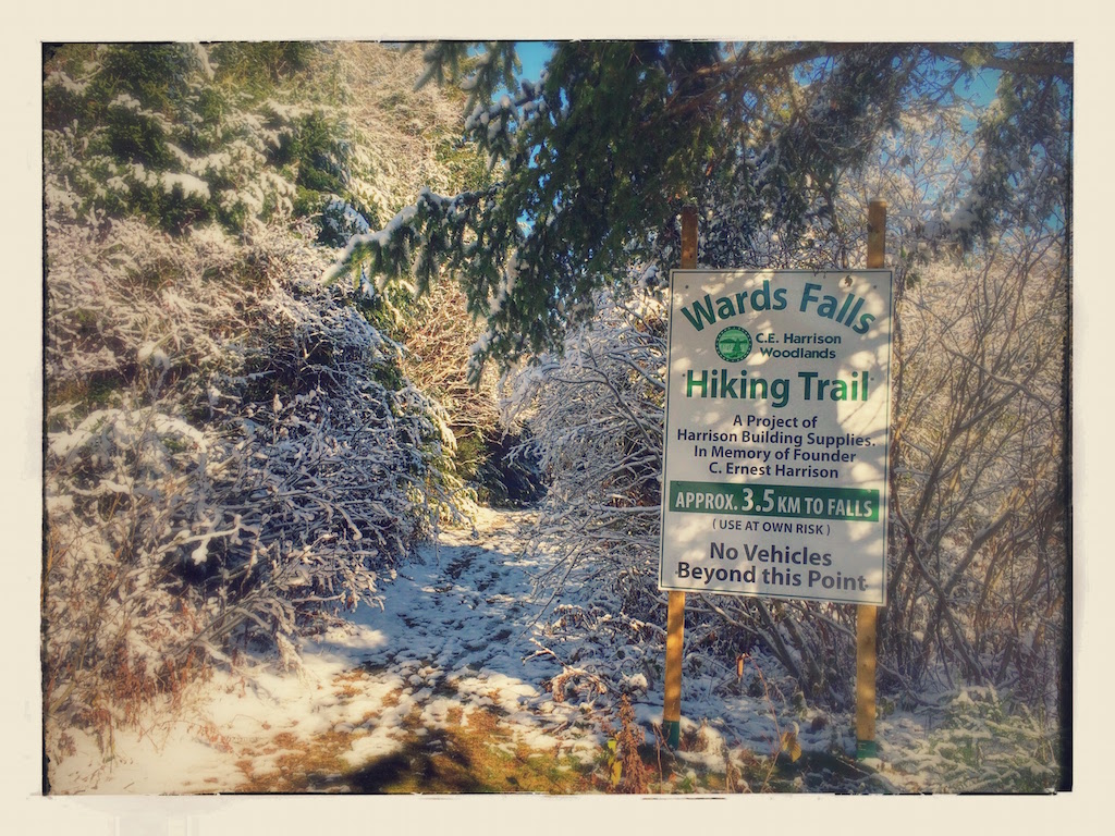
New signage along the route 209 makes it easy to turn into the dirt road for that short drive to the actual trail head and parking area.
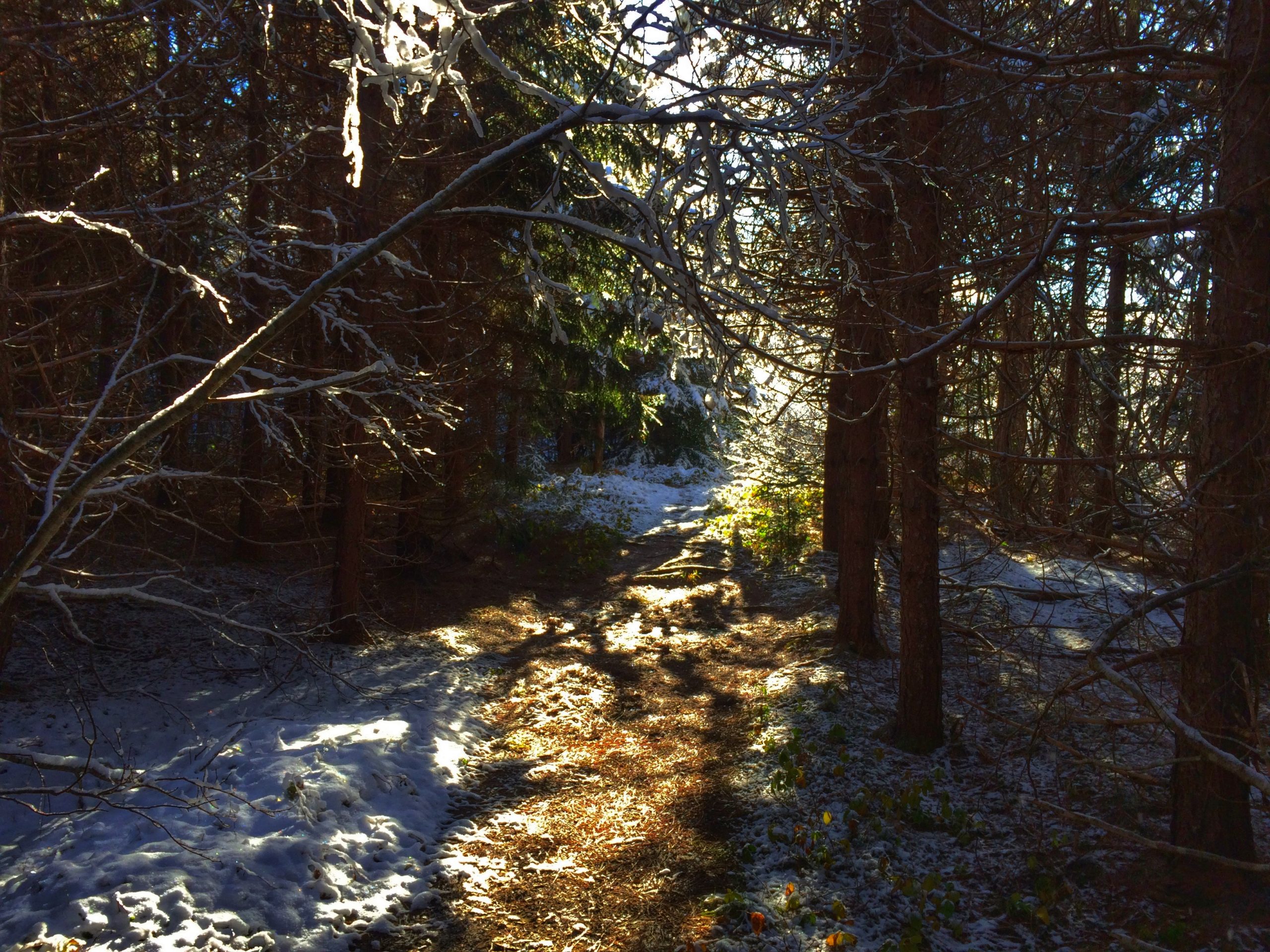
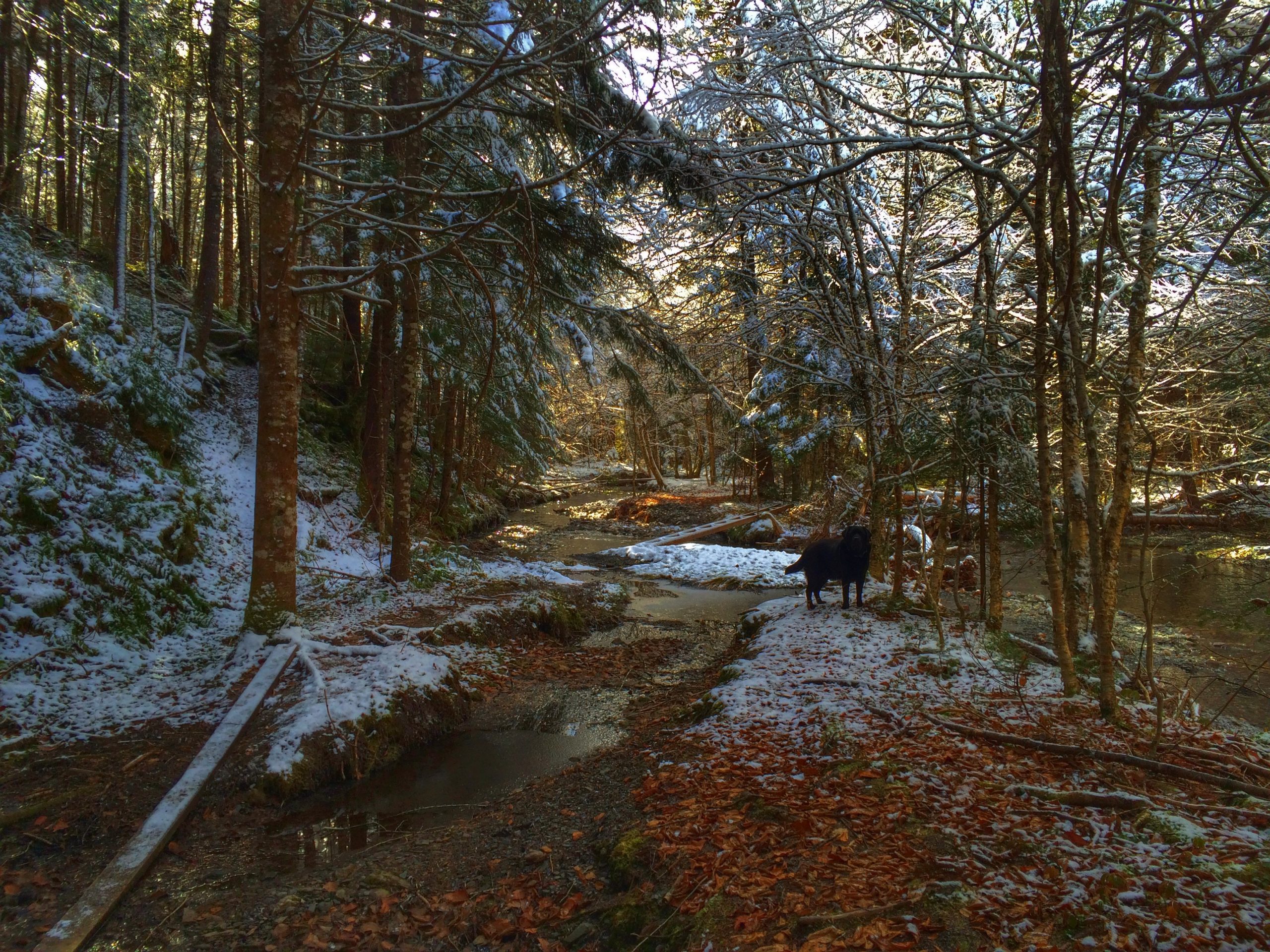
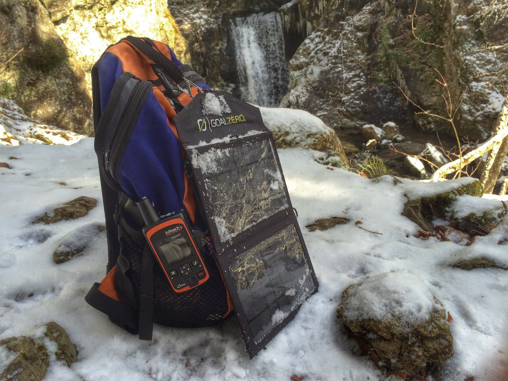
Don’t expect any cell phone coverage in this area, as you start the mostly flat walk up to the falls. By following the North Branch Dilligent River, you followed a well marked trail on a mostly flat terrtain. A very short section at the start would be footpath wilderness, but for the most part it seems like you are following a path made for All-Terrain Vehicle.
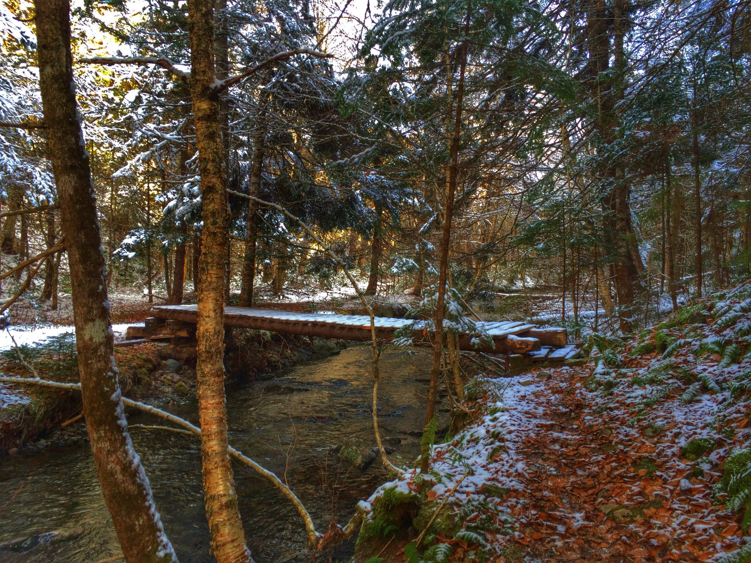
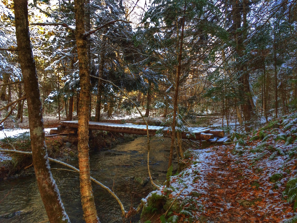
Bring some rubber boots as you will probably get wet crossing the river about a dozen times as you zigzag up. A few crossings are a bit iffy with the structure, but for the most part well built bridges are in place.
The tree coverage is fairly dense as the cayon walls seem to close in & out as you hike up the short 3.1km up to the destination; the falls. Overall, the trail return ~6.2kms.
Once at the base of the falls, a final footbridge to cross and a scramble up a goatpath to the money shot; the shallow pool where the falls empties into. You will see a rope ladder; used to be a wood ladder. Fearless people can try to scale up for a better view. However I was happy to just look out and enjoy the sounds of the water flowing downward.
Good for dogs, and younger hikers. Bring sturdy footwear and snacks. There are few picnic tables along the way. There is also an outhouse but not sure of it’s condition. Expect to take almost 2 hours to enjoy the hike and get back to your car.

 Litter Receptacle
 Pets on leash / Dog friendly
 Trailhead
 Parking