Pets on leash / Dog friendlyStay on trailTrailheadParking
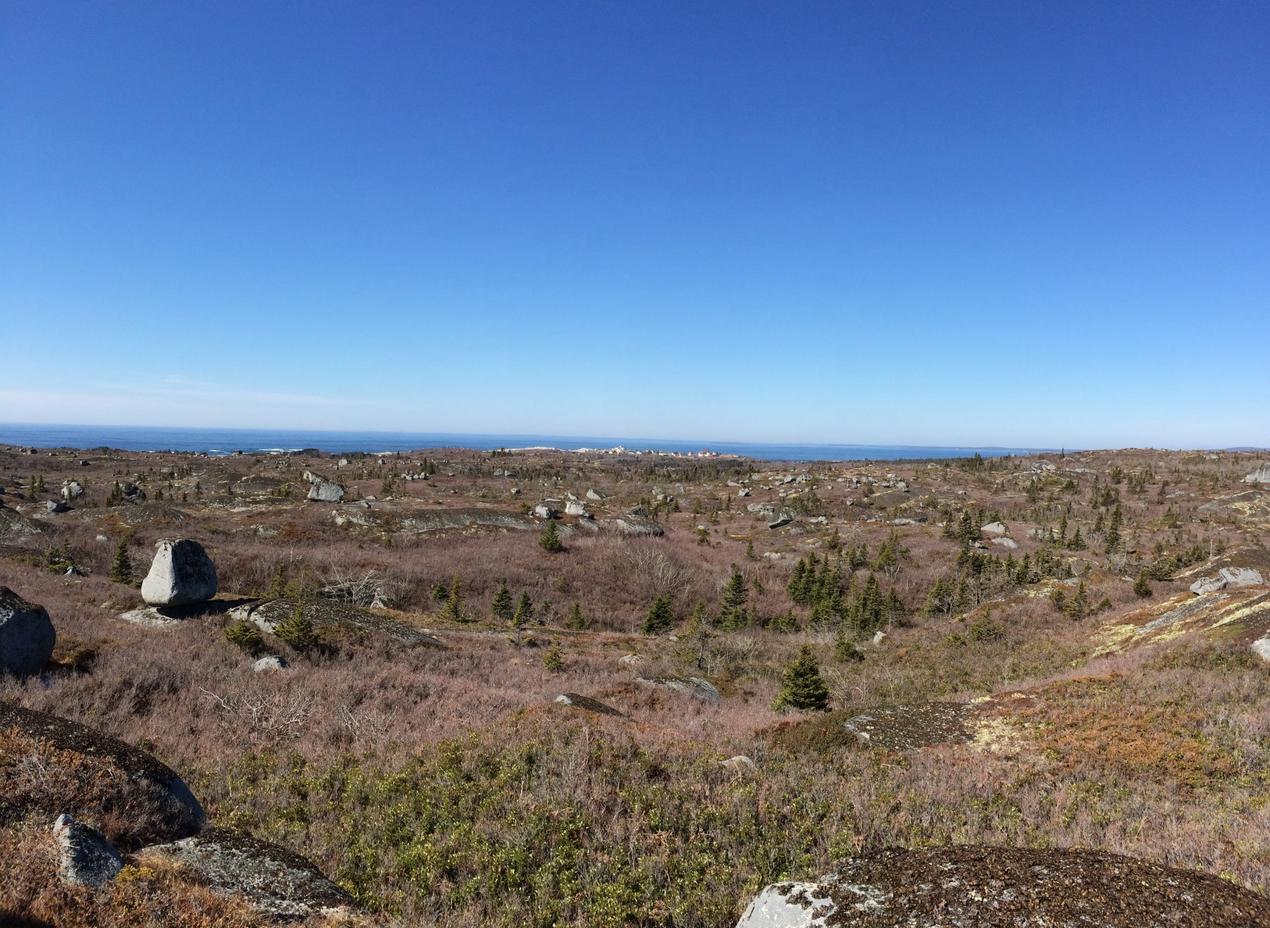
Overlooking Peggy’s Cove, a barren walk among the granite boulders.
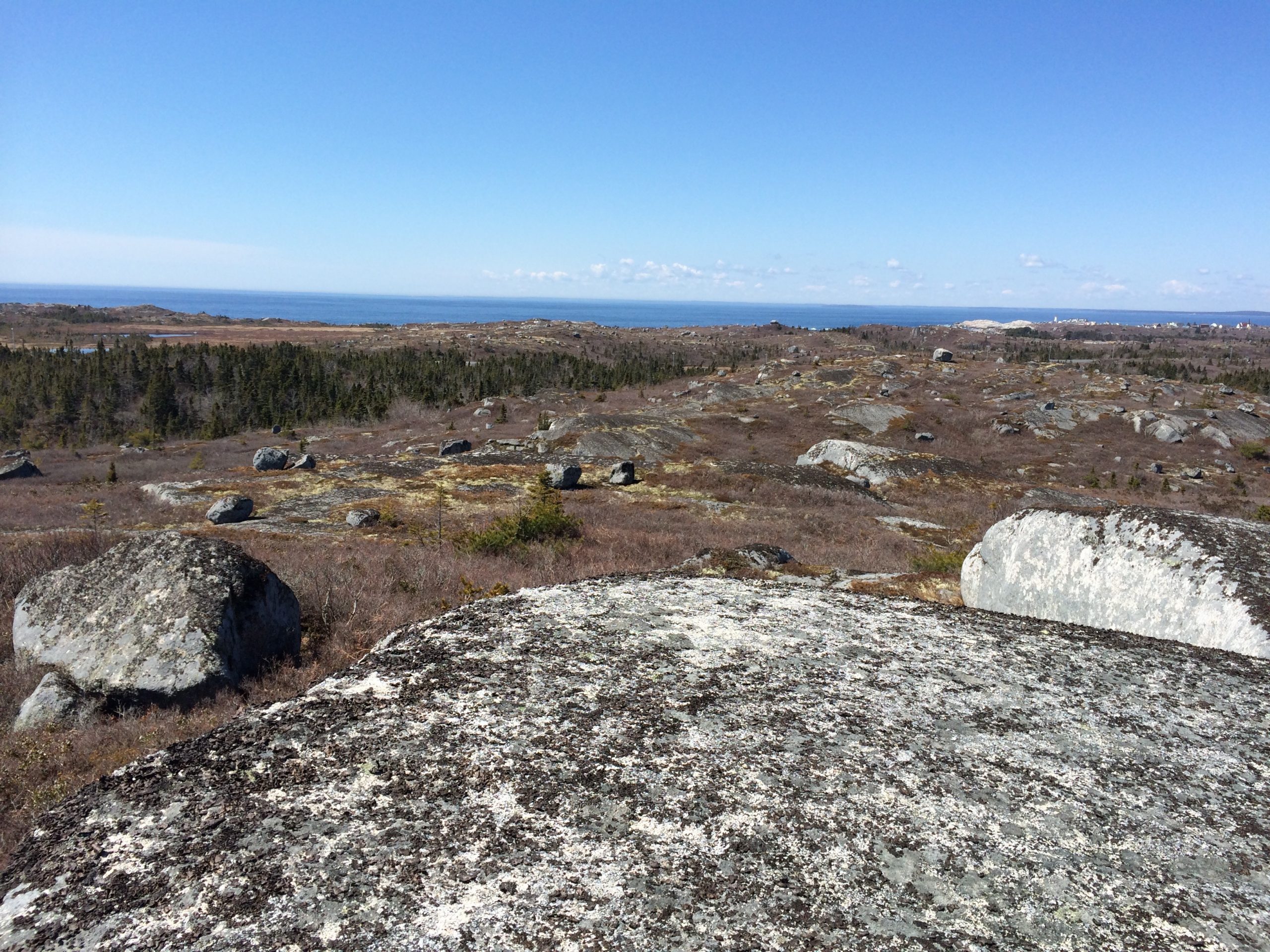
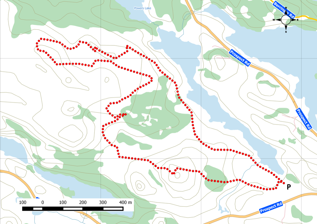
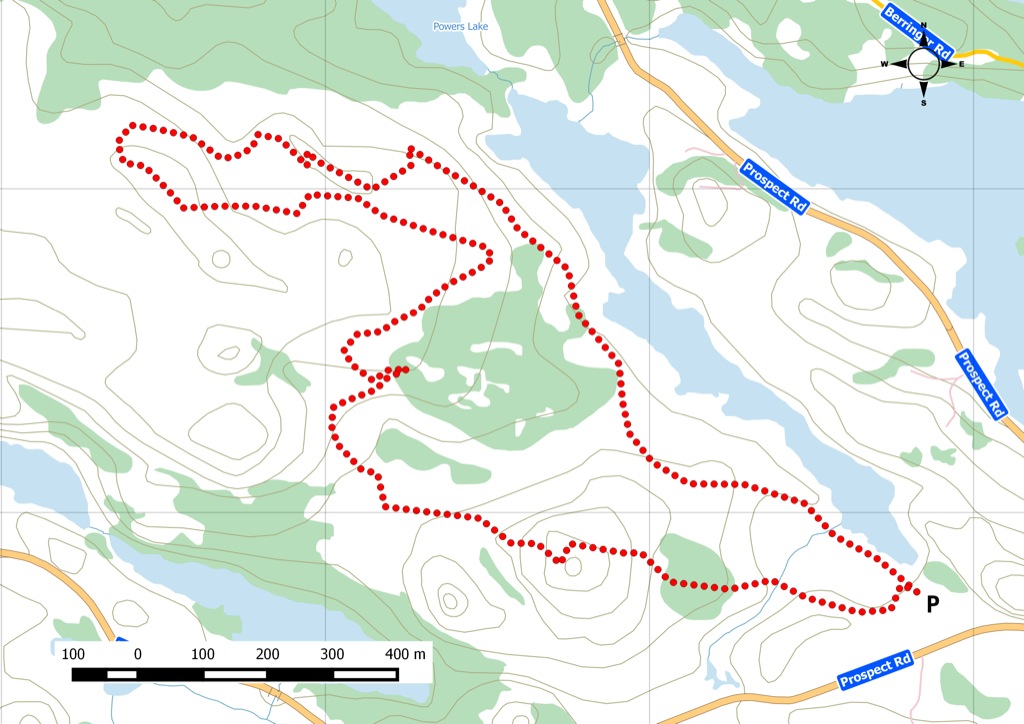
Locally known as the “ land of confusion, ” this is a short route among the spiderweb trail network that is within the West Dover Park Reserve . Bring good footwear. You’ll be skipping over granite boulders and crossing wet areas. Several great views are available but the best one is next to a boulder at the top of the highest peak. You’ll know it when you see the picnic table. The real challenge is finding the right combination of paths to get up there. Watch this trail on YouTube.
Trip Summary
Trip Stats
4.3km
Distance
2.7mi
Distance
3h 01m
Total time
1.4km/h
Avg speed (incl. stops)
2.6km/h
Moving speed
198m
Elevation gain
198m
Elevation loss
37m
Highest point
Elevation Profile
Terrain & Pace Summary
Hilly Walk
Good rolling terrain with 198 m of gain over 4.3 km (46 m/km). Rewarding underfoot without being punishing.
Leisurely Walk
Easy 2.6 km/h pace — plenty of time to take in the surroundings.
Stops Along the Way
17 min1h 00m into ride · 37 m elevation · 13:07–13:14 UTCMap it
219 min1h 13m into ride · 26 m elevation · 13:21–13:40 UTCMap it
332 min2h 16m into ride · 35 m elevation · 14:23–14:55 UTCMap it
Stops detected where GPS movement paused for 5 minutes or more — likely a viewpoint, snack break, or photo opportunity.
Trails Near This Route
🧭️ Trails from avoidingchores.com within 10 km of the trailhead, sorted nearest first. Distances are straight-line from the trailhead.
4.3 km trail · 0.0 km away
West Dover
Almost 1000 Hectares behind Peggy’s Cove; this wilderness area named West Dover Provincial Park is known locally as “Land of Confusion” due to the spider…
This is an informal trail established by continuous use, with no known trail maintaince. Flora includes orange wall lichen on the rocks, mossy foot paths,…
🗺️ The links below open trail maps centred on the trailhead. Always cross-reference with a local club or land manager before riding an unfamiliar trail.
Gaia GPS
Browse trails on Gaia GPS
Opens Gaia GPS topo map centred on the trailhead. Shows recorded routes, public land layers, and trail overlays. Free account required to save routes.
⚠️ Trail pass and gate information changes seasonally.
The notes below are based on publicly available information at time of generation — verify before you go.
Check your provincial / state OHV registration requirements before riding.
Verify gate and seasonal-closure status with a local ATV club or land manager.
Some trail networks require a separate trail pass — confirm with the local OHV association.
Trail Photos
We drove out to Peggy’s Cove to check out a designated Provincial Park in West Dover to explore the trails known as “The land of confusion”.
It’s called that as there are a spier web of curren & old trails along with ATV trails. So there are multiple ways to do the same segment.
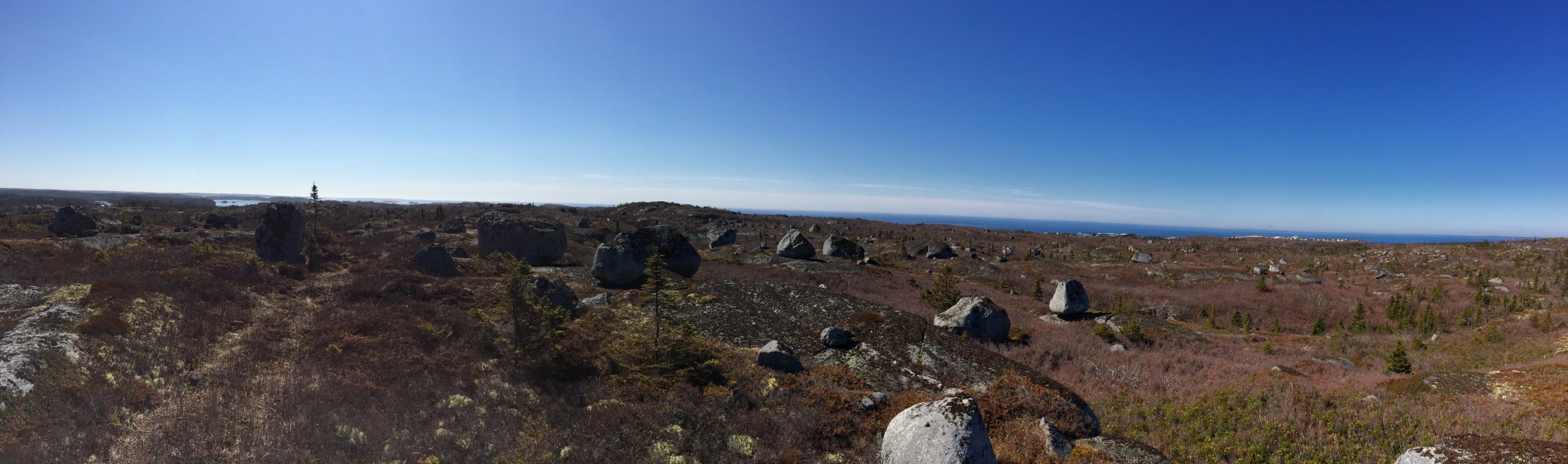
We started out at a parking lot across the road from the baseball field and the terrain is pretty much something from Lord of the Rings, barrens with large granite boulders sprinkled across the land.
The landscape is one of a handful of areas where the ice age receded, the ice dragged the granite boulders all over the place – called Glacial erratics.
In the distance we can see the community of Peggy’s Cove. The terrain is mostly rolling hills. Along the way, we noticed on top of the highest point what looked liked chairs – so we decided to try to reach that point.
Trying to figure out the route to get on the right path to get to the highest point was the challenge, but we reached the top and was greeted with a picnic table so that we could take a break and overlook the view.
We took about 3 hours to complete our 4km loop, there is a 8km version that you can attempt but the exact trail may be hard to distinguish.
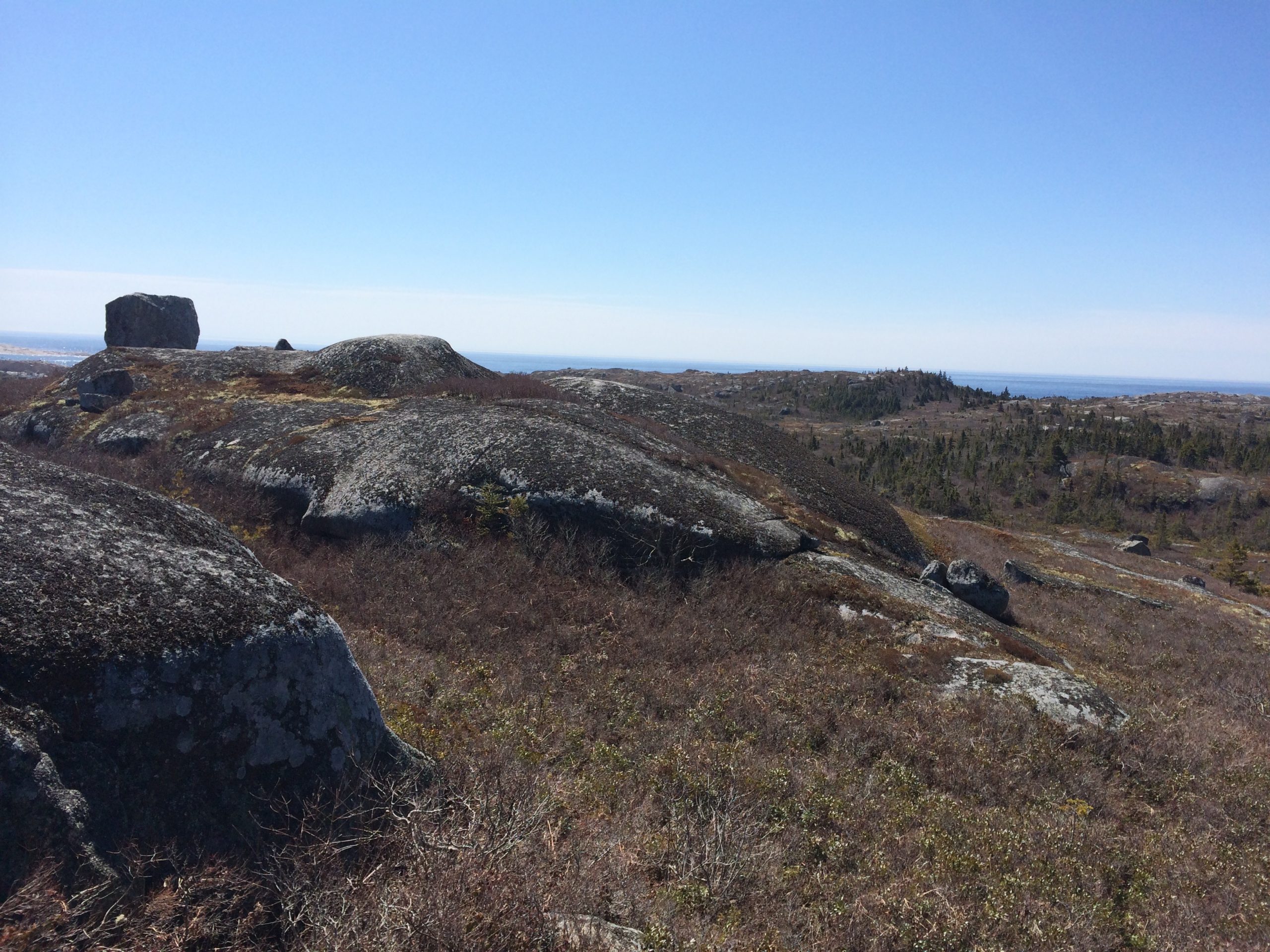
While the elevation is easy navigating, the terrain is granite with barrens growth; you will need adequate footwear and gear as the rocks can be slippery when wet. I would leave the kids and pets at home as some section may be challenging and potential for injury is present.

 Pets on leash / Dog friendly
 Stay on trail
 Trailhead
 Parking