Last updated: July 26, 2026. Verify current trail access and route status before visiting, especially where trail information depends on local trail groups or private-land permissions.

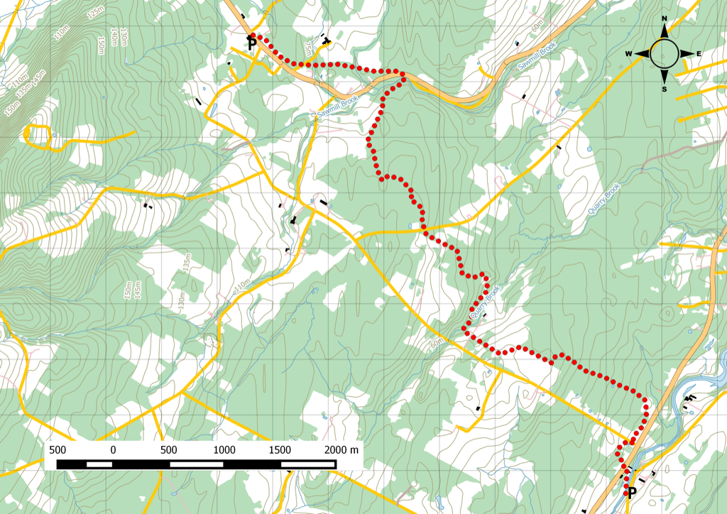
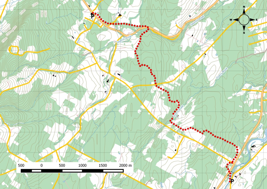
Rogers Hill is preserved here as one of Jim’s older Pictou County hiking route notes. The map and GPX-derived route content remain below for trip-reference value.
Current Planning Notes
- Use current local trail-group information before relying on old Cape to Cape route notes.
- Bring offline maps and do not assume old Garmin Connect links still provide complete public access details.
- If signs, gates or landowner notices disagree with this page, follow the current on-site information.
Related Avoiding Chores Links
- Cape George Hiking Trails
- Pomquet Acadian Trails
- Nova Scotia Hiking Trail Guide
- Garmin Maps: Paid vs Free
- Garmin inReach Messenger How-To Tutorials
- ZOLEO Satellite Communicator Overview
Current References
Original Garmin Track
From the Nova Scotia Hiking Trail Guide
- Guide category: Trekking
- Length: 8.2 km (one-way)
- Difficulty: 2C
- Duration: 3 hours
- Book trailhead: N45 37.030 W62 48.726
Stay on trail Trailhead
Linear segment along the Cape to Cape footpath trail system. a.k.a Rogers Hill
Starting at the Durham Bridge, the Cape to Cape trail markers guide your walk along the various property lines, woodlots, and agricultural fields. Things get interesting as you get closer to Scotsburn. There’s a water crossing (don’t worry, there’s a footbridge) that leads you up onto the Jitney rails to trails segment. The hike ends in Scotsburn at the remains of an abandoned train station. There’s an old platform and a bit of forgotten rail. Watch this trail on YouTube
Trip Summary
Trip Stats
Elevation Profile
Terrain & Pace Summary
Good rolling terrain with 222 m of gain over 8.2 km (27 m/km). Rewarding underfoot without being punishing.
Easy 2.9 km/h pace — plenty of time to take in the surroundings.
Trails Near This Route
Nearby Trails
Trail Access & Pass Information
- Check your provincial / state OHV registration requirements before riding.
- Verify gate and seasonal-closure status with a local ATV club or land manager.
- Some trail networks require a separate trail pass — confirm with the local OHV association.
Trail Photos