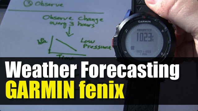
We will look at how you can use the barometer sensor in your GPS device to help you do a little bit of weather forecasting while out in the wilderness.
If you have a recent GPS device with an electronic compass, odds are that you also have an Altimeter-Barometer. Which mean that you probably can display the current air pressure.
Barometer sensor is used actually to help with the elevation, since satellites do well with accuracy with the horizontal, but the vertical needs a little help. The Altimeter-Barometer is used to add precision to your elevation data. However we can use that Barometric data to help us determine if we will be getting a low or high pressure front. The difference is either fair weather or storms.
Not getting too deep into the weeds about air pressure and weather forecasting, we will use generalized observations to interpret the data we will be monitoring. Like anything else related to weather, we can’t be 100% certain all of the time.
Before we get to that, we want to adjust on our GPS device: units & calibrate the barometer to sea level pressure.
units – select hecto pascal (100’s) some weather sites may display kilo pascal (1000’s). This seems to be a standard unit for many weather site in North America and Europe.
At sea level, pressure lower than 1000 hPA; the rule of thumb is typically a low pressure system and expect some stormy conditions.
Now, we want to monitor air pressure in 3 hour slices. We want to see the trend and interpret what we see accordingly.
When the change is less than 1 pascal over 3 hours – no major weather changes coming
When the change is 3 or more pascal over 3 hours – weather changes is coming
In general, we can summarize the trends as the follwing:
- If the pressure is descending, there is a low pressure coming.
- If it’s ascending (or rising), the low is passing or a high pressure is coming.
- When the pressure is changing rapidly (greater than 6 hPa/3 hours), it’s windy (or potentially windy).
More detailed:
- slowly falling (0.5 – 3 hPa in 3h): low is weak, dying or moving slowly. You might get some rain but typically no high winds.
- falling faster (3-6 hPa/3h): rapid movement or deepening low. Moderate winds and rain in warm front. The low is passing you fast so day after tomorrow will typically be fine.
- sudden drop (6-12 hPa/3h): Storm is coming soon.
- At sea level, pressure below 1000 typically means the low pressure is established and nasty weather is upon us.
So we want to calibrate our device for current sea level pressure. For example, we have a weather station at the coast within 5km, so take a reading via the weather page.
Use historical weather at your location or hiking area to see what kinds of drops you can associate with precipitation. At higher elevation, the air pressure will be lighter, so that’s why we want to make sure we calibrate our device for sea level.
If I missed any major detail, add them to the comments below!

