Last updated: July 27, 2026. Trail access, park facilities, overnight options and local rules can change. Check the current park, municipality or trail manager before relying on older directions.
From the Nova Scotia Hiking Trail Guide
- Guide category: Historical Trails
- Length: 4.3 km (return)
- Difficulty: 3C
- Duration: 1.5 hours
- Book trailhead: N45 24.792 W63 25.610
 Trailhead
 Pets on leash / Dog friendly
 Parking
 Stay on trail
 Information
Next door to a Diefenbaker Bunker, interpretive loop about the first nations people in the region.
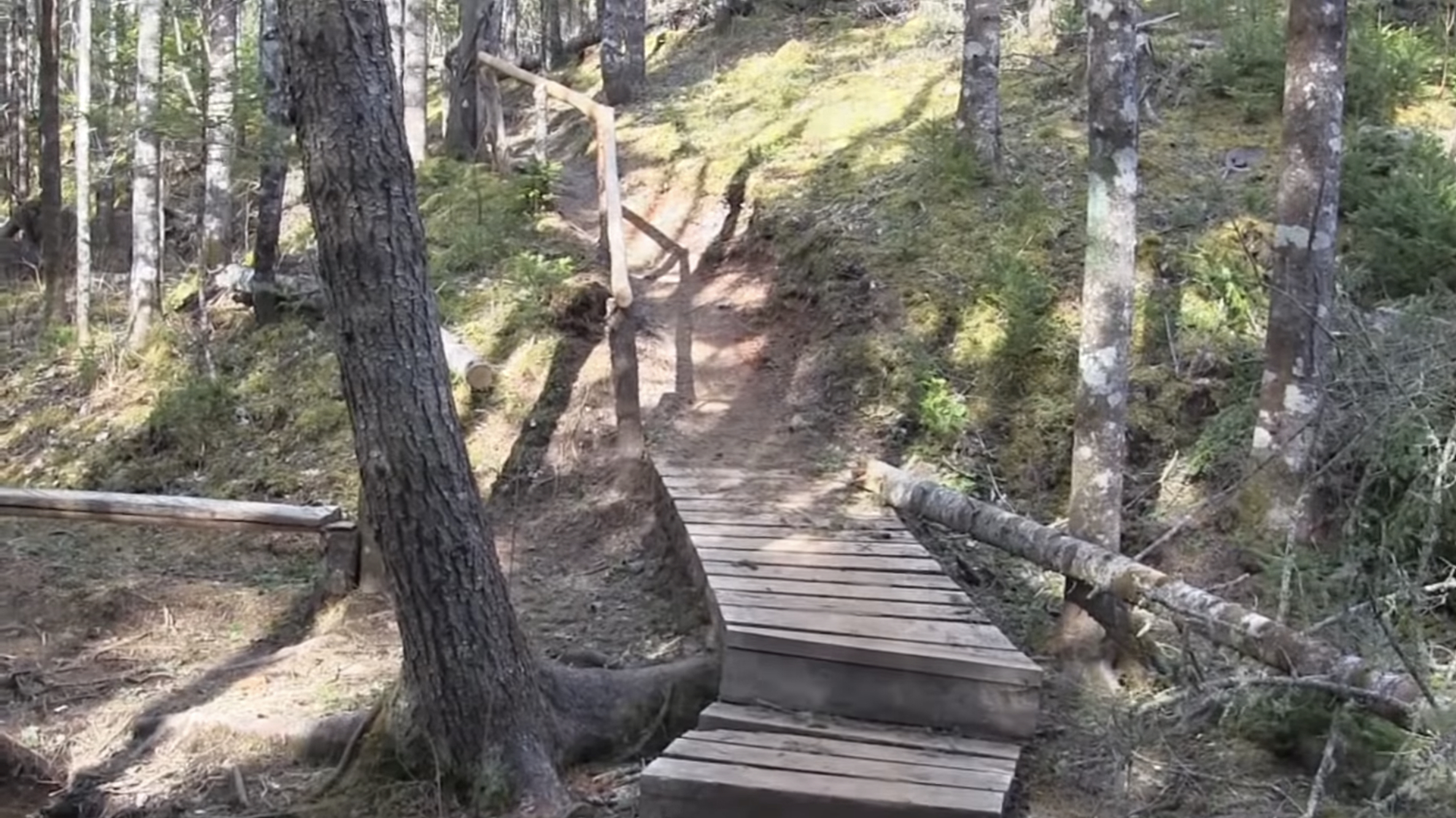
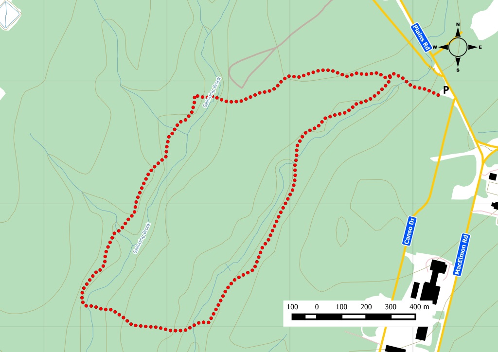
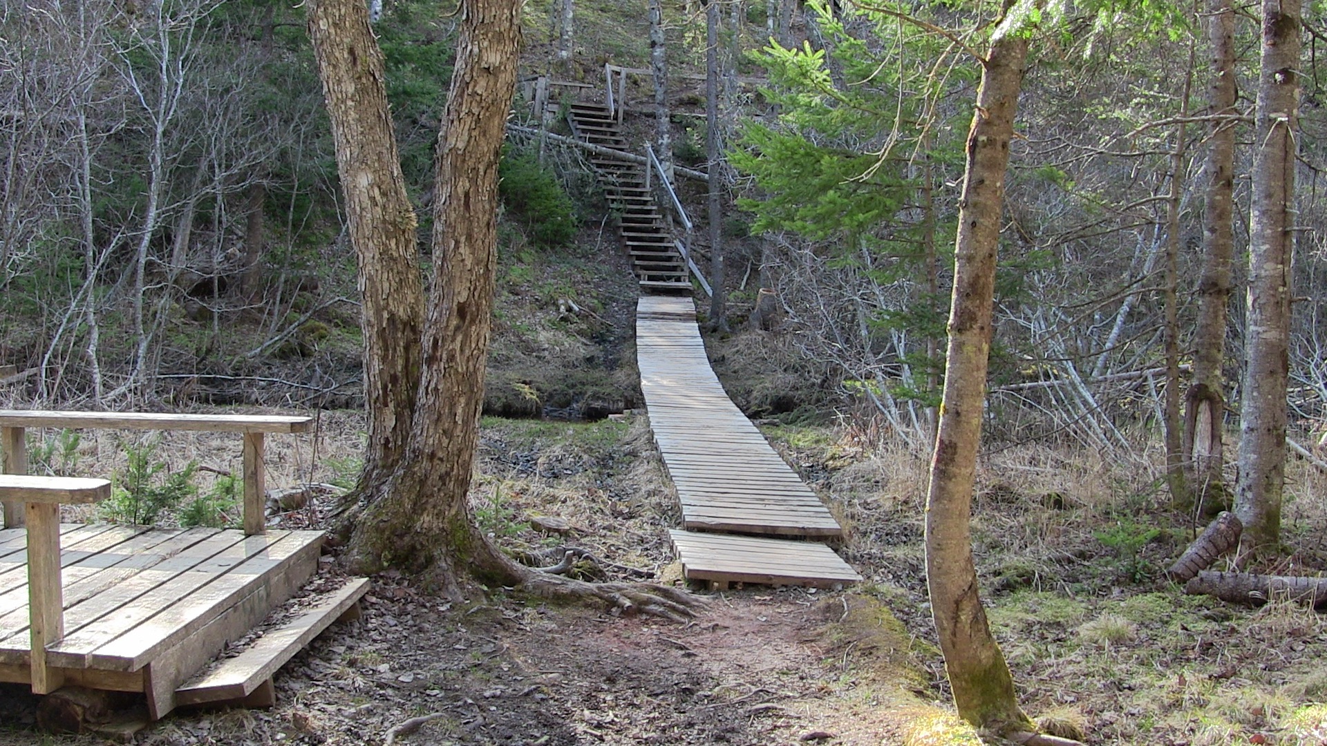
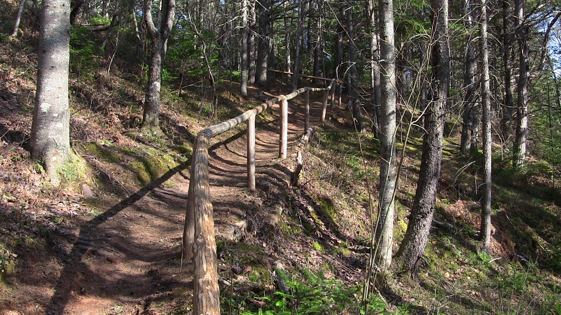
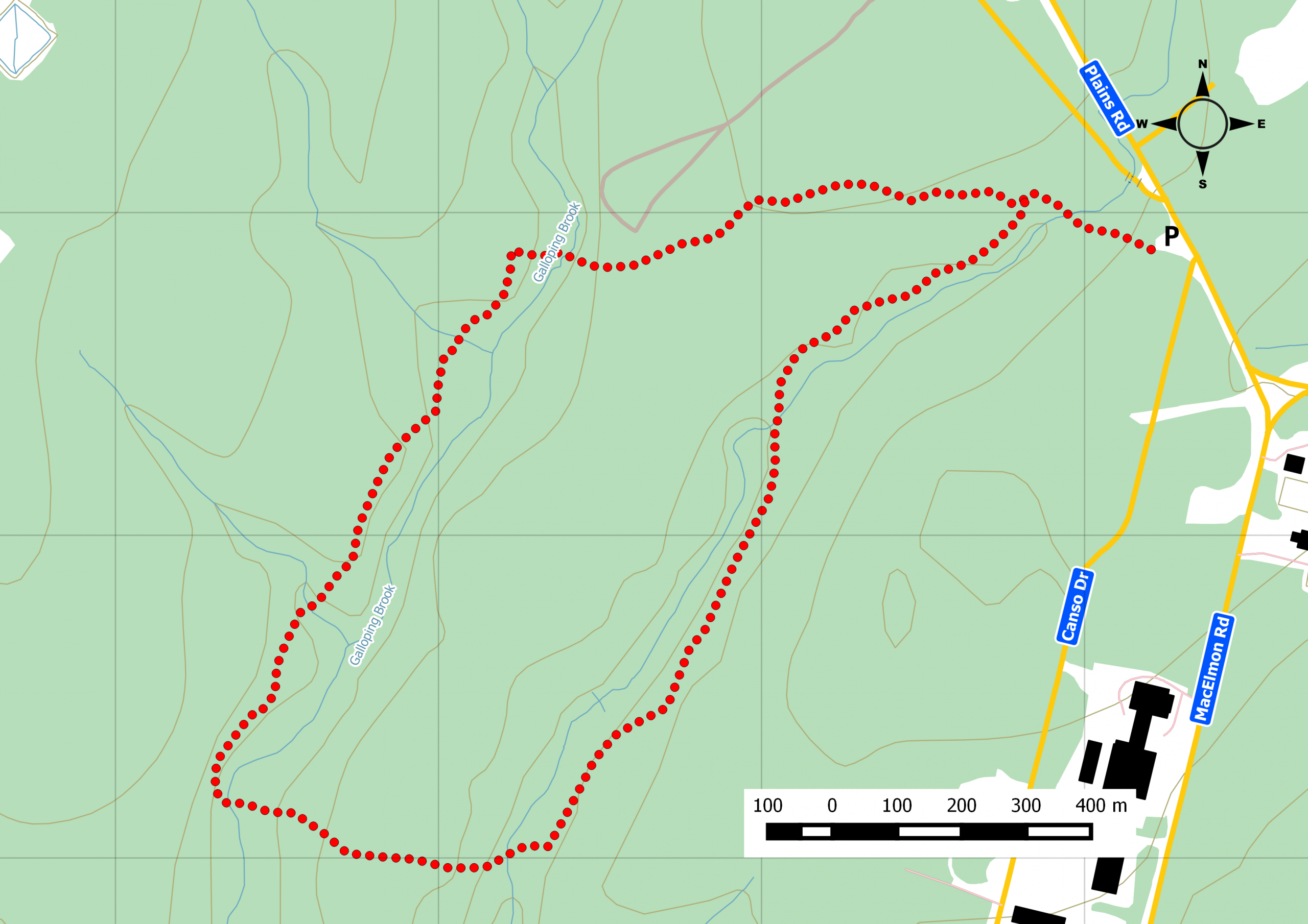
The Mi’kmawey Debert Interpretive Trail is a woodland trail that crosses several streams. Interpretive panels along the trail tell the history of the area as a hunting ground for First People 11000 years ago. The trail is mostly rugged with some stairs and moderate inclines. It is also close to the Debert Diefenbunker, an abandoned cold war mine. Watch out for DND warning signs of unexploded ordnance or landmines. It’s definitely not safe to go off trail on this one. Watch this trail on YouTube.
Trip Summary
Trip Stats
Elevation Profile
Terrain & Pace Summary
Easy going with only 62 m of elevation gain (14 m/km) — suitable for most fitness levels.
Easy 3.4 km/h pace — plenty of time to take in the surroundings.
Stops Along the Way
- 16 minMap it
Stops detected where GPS movement paused for 5 minutes or more — likely a viewpoint, snack break, or photo opportunity.
Trails Near This Route
Nearby Trails
Trail Access & Pass Information
- Check your provincial / state OHV registration requirements before riding.
- Verify gate and seasonal-closure status with a local ATV club or land manager.
- Some trail networks require a separate trail pass — confirm with the local OHV association.
Trail Photos
Estimated reading time: 2 minutes
We stopped by Debert, next to Truro and visited this recently developed interpretive trail.
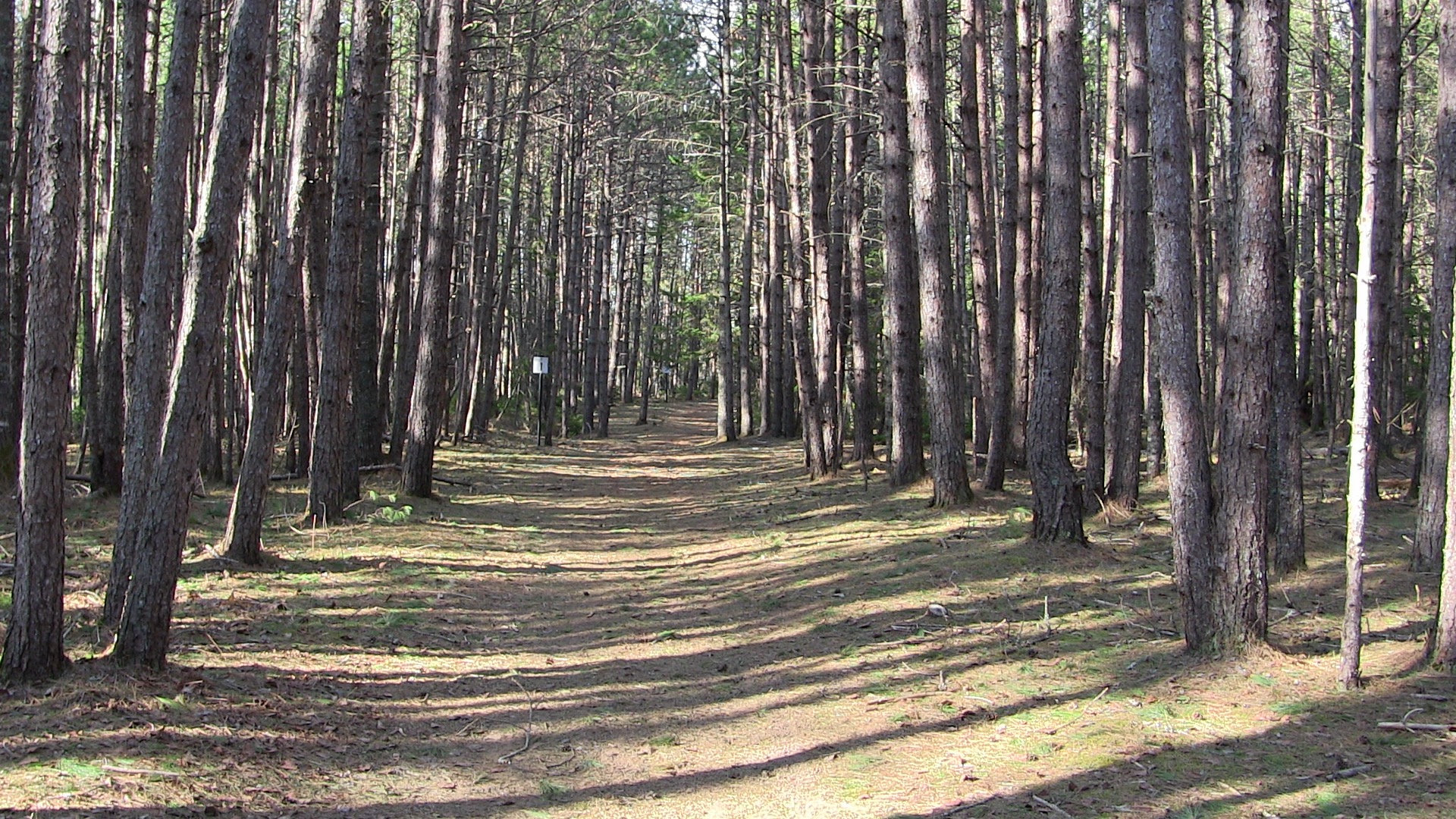
This is a well maintained trail over pine forests with four interpretive signs along the way. The signs talked about the life of the locals 11 thousand years ago. This was a traditional travel route so it made sense that this location was a stop and hunting ground.
What makes this area interesting is that nearby was one of the Diefenbunkers.
These blast shelters, nicknamed “Diefenbunkers”, were administered by the Canadian Corps of Signals. The facility was also equipped with Telegraph Automated Relay Equipment, or TARE, which relayed signals from the nearby Folly Lake NATO Satellite Ground Terminal.
The end of the Cold War and reduction in the ICBM threat, as well as the Diefenbunker’s obsolescence, saw all remaining military personnel removed from CFS Debert by the mid-1990s. In 1998 the Department of National Defence finished all environmental assessments and decommissioned the facility, transferring the facility to “Colchester Park”, a local development authority.
In December 2008 the 64,000 sq ft (5,900 m2) Diefenbunker was sold by the Colchester Regional Development Authority to a private data warehousing and data centre co-location services provider, Bastionhost.[18] Bastionhost is renovating the facility as a high-density, groundwater -cooled secure data centre.
http://en.wikipedia.org/wiki/CFS_Debert#Maritime_.22Diefenbunker.22
Debert Military Museum
http://www.colchester.ca/mikmawey-debert-trail
The Mi’kmawey Debert Interpretive Trail is a quiet woodland trail which crosses several streams. Beautifully-illustrated interpretation panels tell of the history and significance of this site to the Mi’kmaq people.
Archaeological research has revealed that the Mi’kmawey site in Debert was a traditional hunting place of the First People (Paleo-Indian people) who lived in Atlantic Canada almost 11,000 years ago. The Mi’kmawey Debert site is designated under the Nova Scotia Special Places Protection Act and recognized as a National Historic Site.
View the trackfile here:
You Might Like
Recent Trail Notes
Recent trail-related items found during a five-year news and organization scan. Conditions and access can change quickly, so verify details with the park, trail manager, or local association before heading out.
Mi'kmawey Debert
- 2026-03-18 – Feds pitch in $1.1 million for construction of Mi'kmawey Debert Cultural Centre – PNI Atlantic News (PNI Atlantic News)
- 2025-02-16 – Rising costs push back opening of Mi'kmawey Debert Cultural Centre by another year – CBC (CBC)
- 2024-11-14 – Mi'kmawey Debert Cultural Centre announces capital campaign | PNI Atlantic News – PNI Atlantic News (PNI Atlantic News)
Additional Original Photos